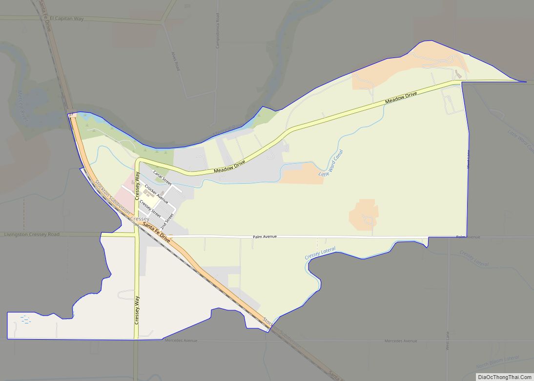
South Dos Palos (formerly Dos Palos Station) is an unincorporated community and census-designated place (CDP) in Merced County, California, United States. It is located 2 miles (3 km) southwest of Dos Palos at an elevation of 118 feet (36 m). The population was 1,747 at the 2020 census, up from 1,620 at the 2010 census.
| Name: | South Dos Palos CDP |
|---|---|
| LSAD Code: | 57 |
| LSAD Description: | CDP (suffix) |
| State: | California |
| County: | Merced County |
| Elevation: | 118 ft (36 m) |
| Total Area: | 1.538 sq mi (3.984 km²) |
| Land Area: | 1.538 sq mi (3.984 km²) |
| Water Area: | 0 sq mi (0 km²) 0% |
| Total Population: | 1,747 |
| Population Density: | 1,100/sq mi (440/km²) |
| ZIP code: | 93665 |
| Area code: | 209 |
| FIPS code: | 0672954 |
| GNISfeature ID: | 0234957 |
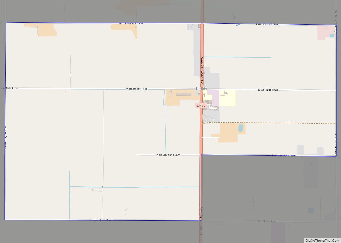
Online Interactive Map
Click on ![]() to view map in "full screen" mode.
to view map in "full screen" mode.
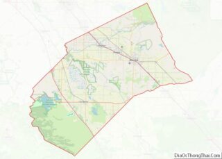
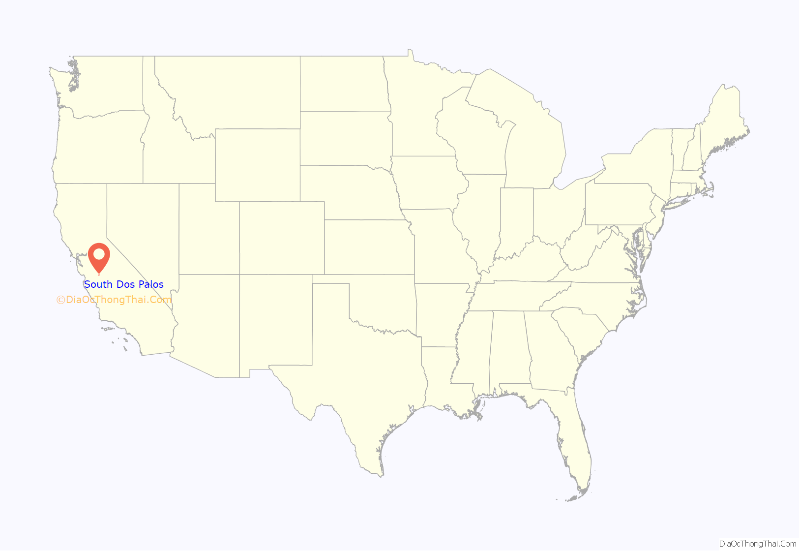
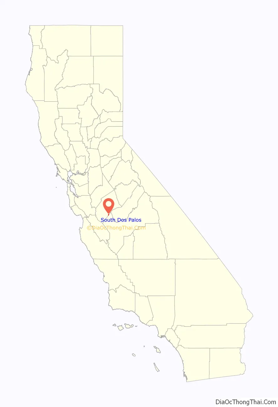
South Dos Palos location map. Where is South Dos Palos CDP?
History
The South Dos Palos post office opened in 1906. It is home to Koda Farms, a Japanese rice company known for its historically innovative practices.
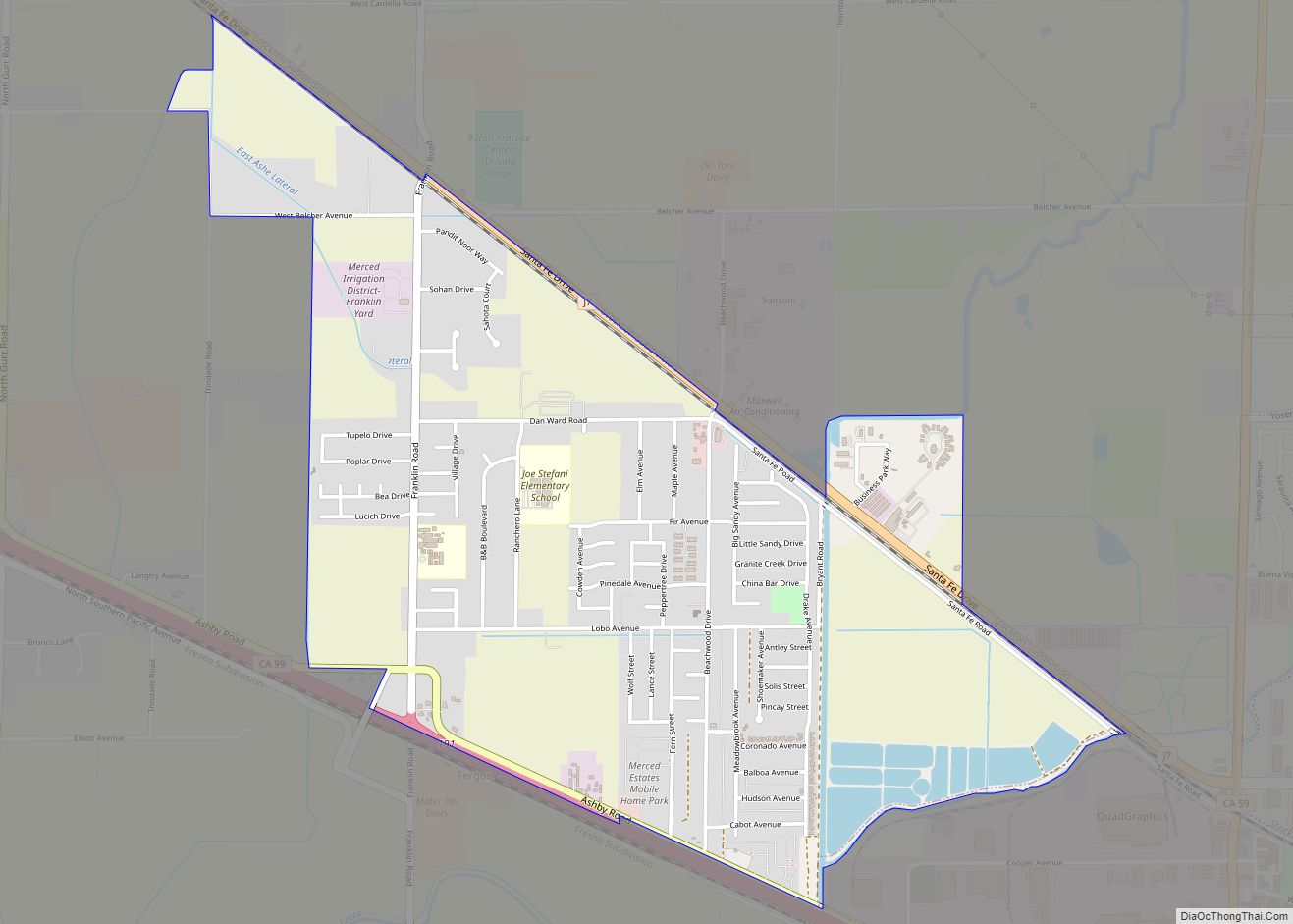
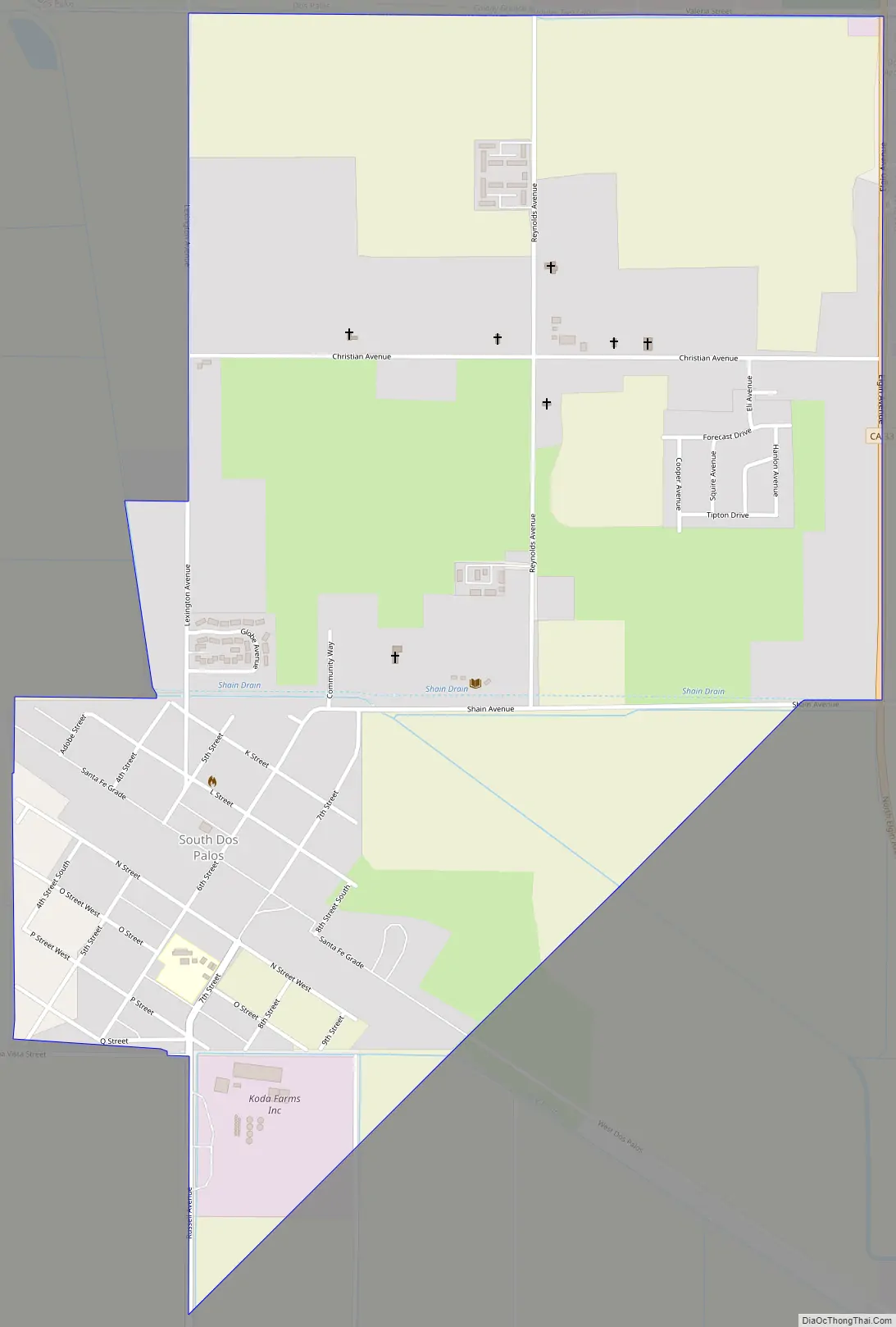
South Dos Palos Road Map
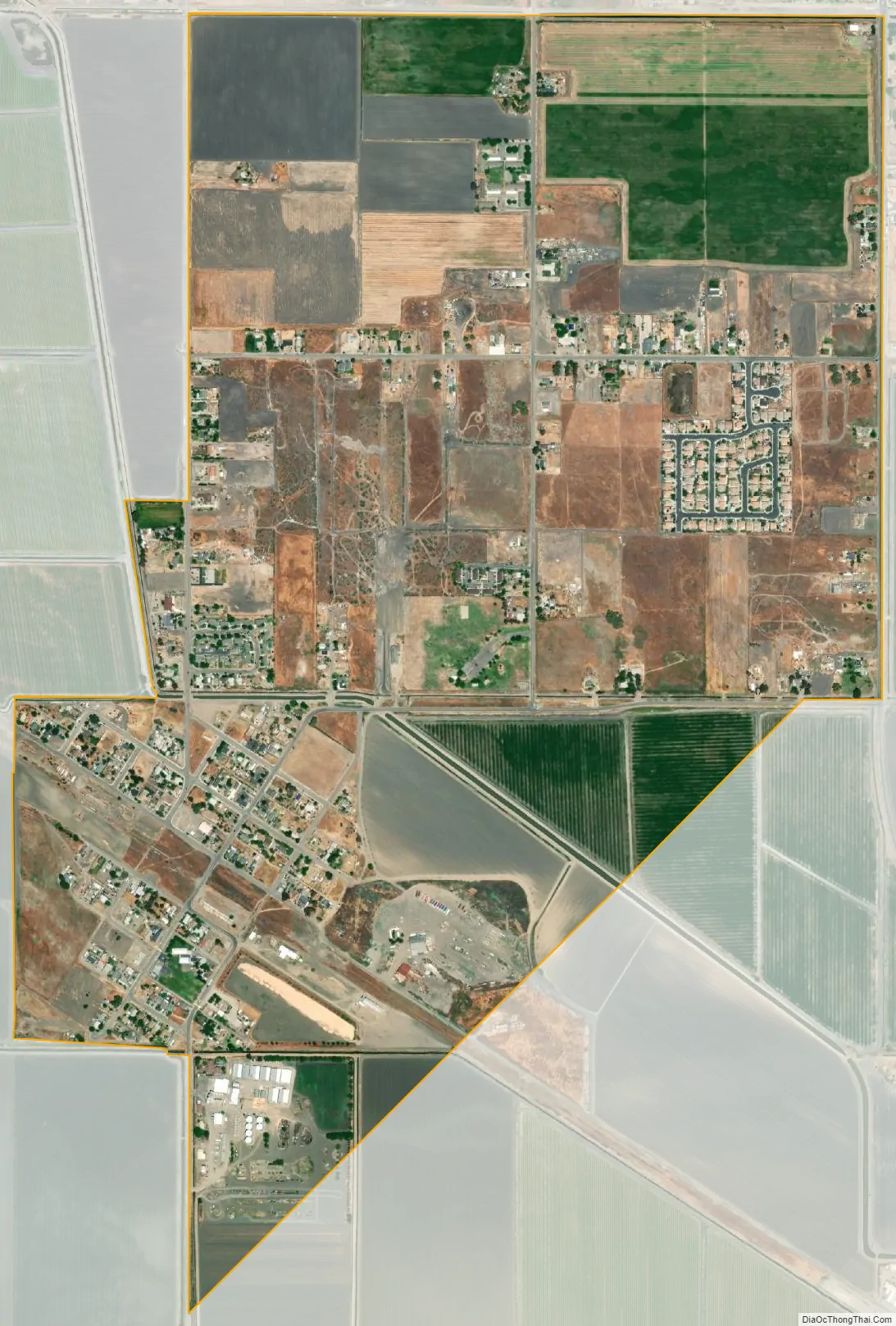
South Dos Palos city Satellite Map
Geography
South Dos Palos is located near the southeastern border of Merced County at 36°57′52″N 120°39′12″W / 36.96444°N 120.65333°W / 36.96444; -120.65333. It is bordered to the north by the city of Dos Palos. California State Route 33 forms the eastern edge of the community, leading north and west 17 miles (27 km) to Los Banos and southeast 13 miles (21 km) to Firebaugh. Merced, the county seat, is 29 miles (47 km) to the northeast via State Routes 33, 152, and 59.
According to the United States Census Bureau, the South Dos Palos CDP has a total area of 1.5 square miles (3.9 km), all of it land.
See also
Map of California State and its subdivision:- Alameda
- Alpine
- Amador
- Butte
- Calaveras
- Colusa
- Contra Costa
- Del Norte
- El Dorado
- Fresno
- Glenn
- Humboldt
- Imperial
- Inyo
- Kern
- Kings
- Lake
- Lassen
- Los Angeles
- Madera
- Marin
- Mariposa
- Mendocino
- Merced
- Modoc
- Mono
- Monterey
- Napa
- Nevada
- Orange
- Placer
- Plumas
- Riverside
- Sacramento
- San Benito
- San Bernardino
- San Diego
- San Francisco
- San Joaquin
- San Luis Obispo
- San Mateo
- Santa Barbara
- Santa Clara
- Santa Cruz
- Shasta
- Sierra
- Siskiyou
- Solano
- Sonoma
- Stanislaus
- Sutter
- Tehama
- Trinity
- Tulare
- Tuolumne
- Ventura
- Yolo
- Yuba
- Alabama
- Alaska
- Arizona
- Arkansas
- California
- Colorado
- Connecticut
- Delaware
- District of Columbia
- Florida
- Georgia
- Hawaii
- Idaho
- Illinois
- Indiana
- Iowa
- Kansas
- Kentucky
- Louisiana
- Maine
- Maryland
- Massachusetts
- Michigan
- Minnesota
- Mississippi
- Missouri
- Montana
- Nebraska
- Nevada
- New Hampshire
- New Jersey
- New Mexico
- New York
- North Carolina
- North Dakota
- Ohio
- Oklahoma
- Oregon
- Pennsylvania
- Rhode Island
- South Carolina
- South Dakota
- Tennessee
- Texas
- Utah
- Vermont
- Virginia
- Washington
- West Virginia
- Wisconsin
- Wyoming