South Oroville is a census-designated place (CDP) in Butte County, California, United States. The population was 5,742 at the 2010 census, down from 7,695 at the 2000 census.
For all practical purposes, South Oroville is tied to Oroville proper. South Oroville contains a negligible number of businesses, and all residents are dependent on the commercial centers of Oroville, and sometimes Chico if they choose. In fact, there is no clear divide between South Oroville and the Oroville city limits. This also applies to Thermalito, Oroville East, and Palermo. Las Plumas High School is located in South Oroville, and most high school students go to school there.
| Name: | South Oroville CDP |
|---|---|
| LSAD Code: | 57 |
| LSAD Description: | CDP (suffix) |
| State: | California |
| County: | Butte County |
| Elevation: | 187 ft (57 m) |
| Total Area: | 2.964 sq mi (7.678 km²) |
| Land Area: | 2.964 sq mi (7.678 km²) |
| Water Area: | 0 sq mi (0 km²) 0% |
| Total Population: | 5,742 |
| Population Density: | 1,900/sq mi (750/km²) |
| ZIP code: | 95965 |
| Area code: | 530 |
| FIPS code: | 0673178 |
| GNISfeature ID: | 1659826 |
Online Interactive Map
Click on ![]() to view map in "full screen" mode.
to view map in "full screen" mode.
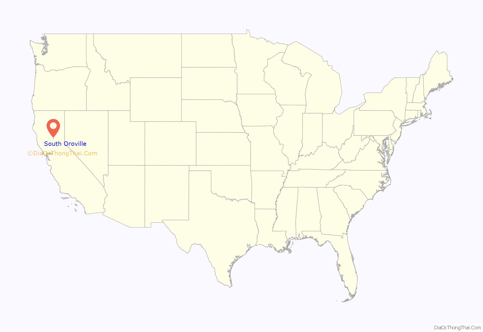
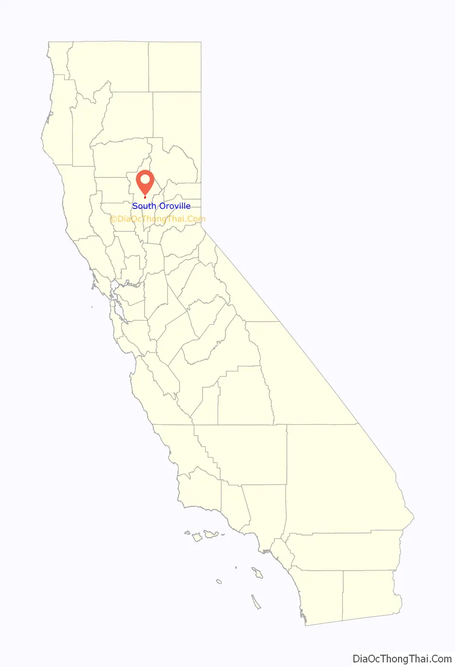
South Oroville location map. Where is South Oroville CDP?
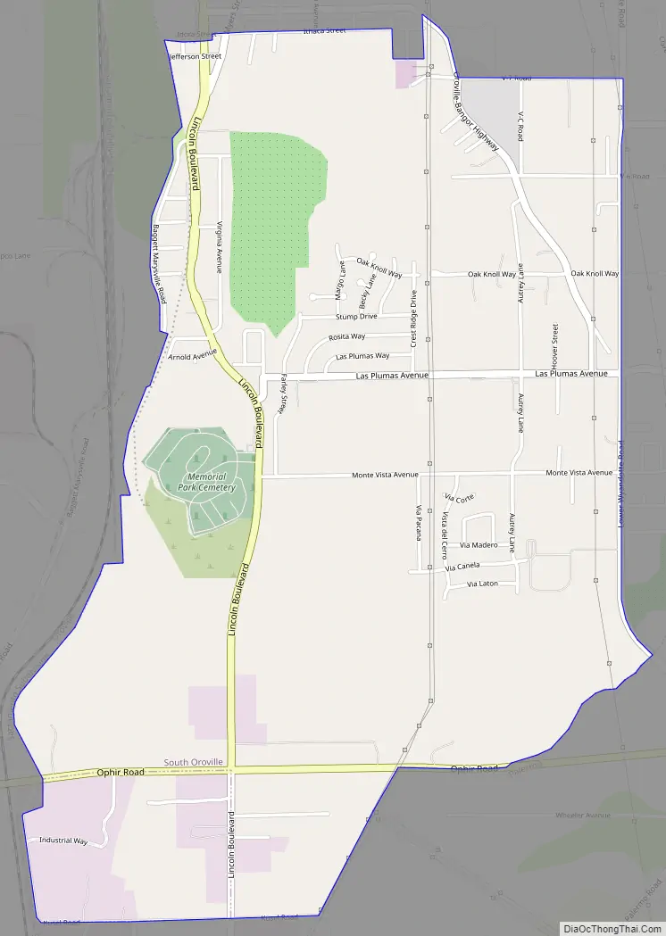
South Oroville Road Map
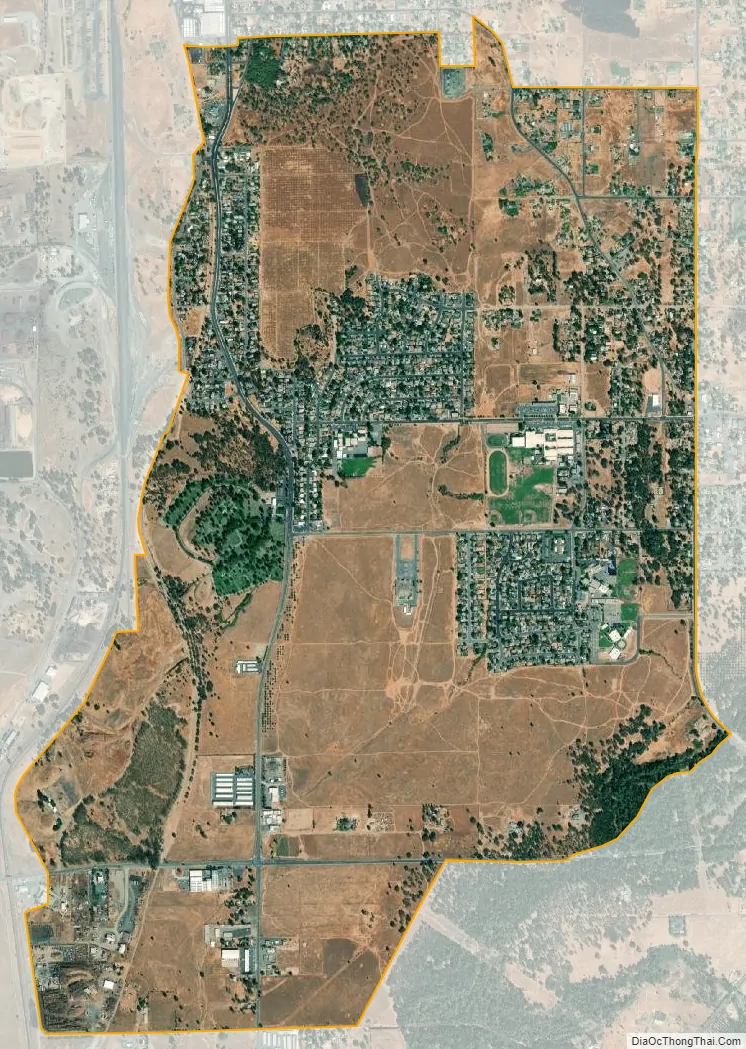
South Oroville city Satellite Map
Geography
According to the United States Census Bureau, the CDP has a total area of 3.0 square miles (7.7 km), all of it land.
See also
Map of California State and its subdivision:- Alameda
- Alpine
- Amador
- Butte
- Calaveras
- Colusa
- Contra Costa
- Del Norte
- El Dorado
- Fresno
- Glenn
- Humboldt
- Imperial
- Inyo
- Kern
- Kings
- Lake
- Lassen
- Los Angeles
- Madera
- Marin
- Mariposa
- Mendocino
- Merced
- Modoc
- Mono
- Monterey
- Napa
- Nevada
- Orange
- Placer
- Plumas
- Riverside
- Sacramento
- San Benito
- San Bernardino
- San Diego
- San Francisco
- San Joaquin
- San Luis Obispo
- San Mateo
- Santa Barbara
- Santa Clara
- Santa Cruz
- Shasta
- Sierra
- Siskiyou
- Solano
- Sonoma
- Stanislaus
- Sutter
- Tehama
- Trinity
- Tulare
- Tuolumne
- Ventura
- Yolo
- Yuba
- Alabama
- Alaska
- Arizona
- Arkansas
- California
- Colorado
- Connecticut
- Delaware
- District of Columbia
- Florida
- Georgia
- Hawaii
- Idaho
- Illinois
- Indiana
- Iowa
- Kansas
- Kentucky
- Louisiana
- Maine
- Maryland
- Massachusetts
- Michigan
- Minnesota
- Mississippi
- Missouri
- Montana
- Nebraska
- Nevada
- New Hampshire
- New Jersey
- New Mexico
- New York
- North Carolina
- North Dakota
- Ohio
- Oklahoma
- Oregon
- Pennsylvania
- Rhode Island
- South Carolina
- South Dakota
- Tennessee
- Texas
- Utah
- Vermont
- Virginia
- Washington
- West Virginia
- Wisconsin
- Wyoming


