Stirling City is a census-designated place in Butte County, California, located on Paradise Ridge in the western foothills of the Sierra Nevada. Contrary to its name, Stirling City is not a city. Its ZIP Code is 95978 and area code 530. It lies at an elevation of 3570 feet (1088 m). Stirling City had a population of 295 at the 2010 census.
Stirling City is located at 39°54′28″N 121°31′41″W / 39.90778°N 121.52806°W / 39.90778; -121.52806, around 32 miles (45 km) northeast of Chico, California. It is built around a loop (which terminates a winding spur line) of the Southern Pacific Railroad, built to collect lumber from the Lassen National Forest.
| Name: | Stirling City CDP |
|---|---|
| LSAD Code: | 57 |
| LSAD Description: | CDP (suffix) |
| State: | California |
| County: | Butte County |
| Elevation: | 3,570 ft (1,088 m) |
| Total Area: | 1.178 sq mi (3.051 km²) |
| Land Area: | 1.177 sq mi (3.049 km²) |
| Water Area: | 0.001 sq mi (0.002 km²) 0.07% |
| Total Population: | 295 |
| Population Density: | 250/sq mi (97/km²) |
| ZIP code: | 95978 |
| Area code: | 530 |
| FIPS code: | 0674186 |
| GNISfeature ID: | 235493; 2612488 |
Online Interactive Map
Click on ![]() to view map in "full screen" mode.
to view map in "full screen" mode.
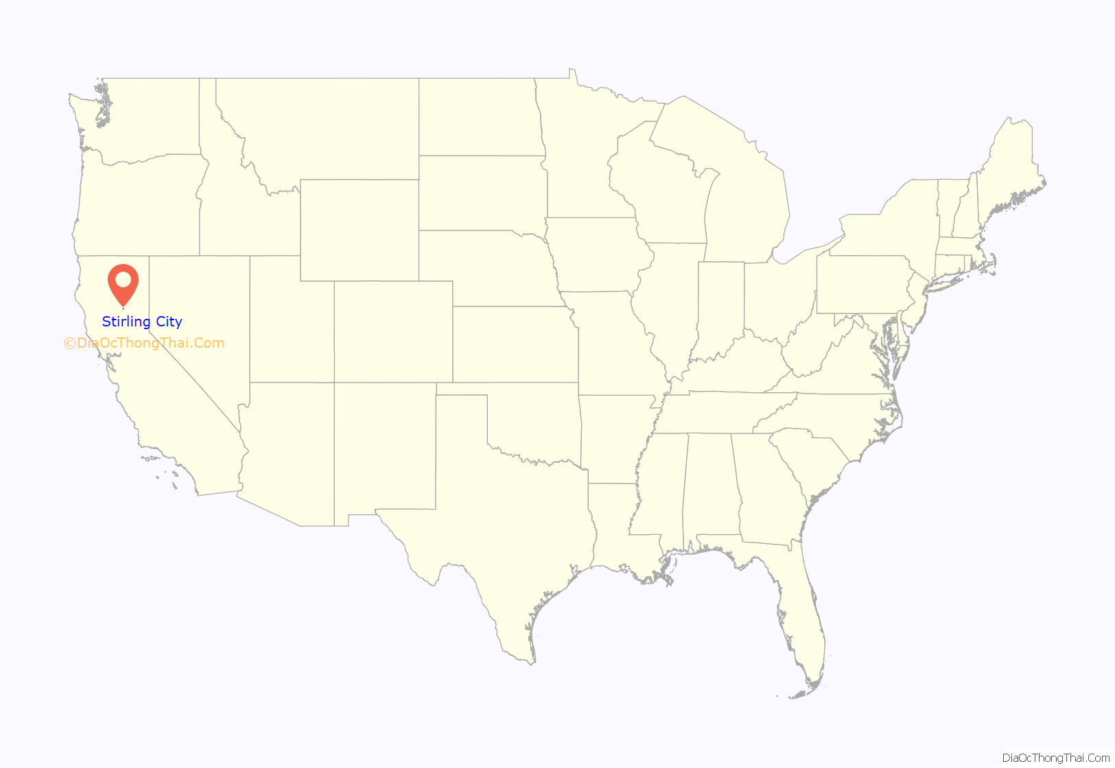
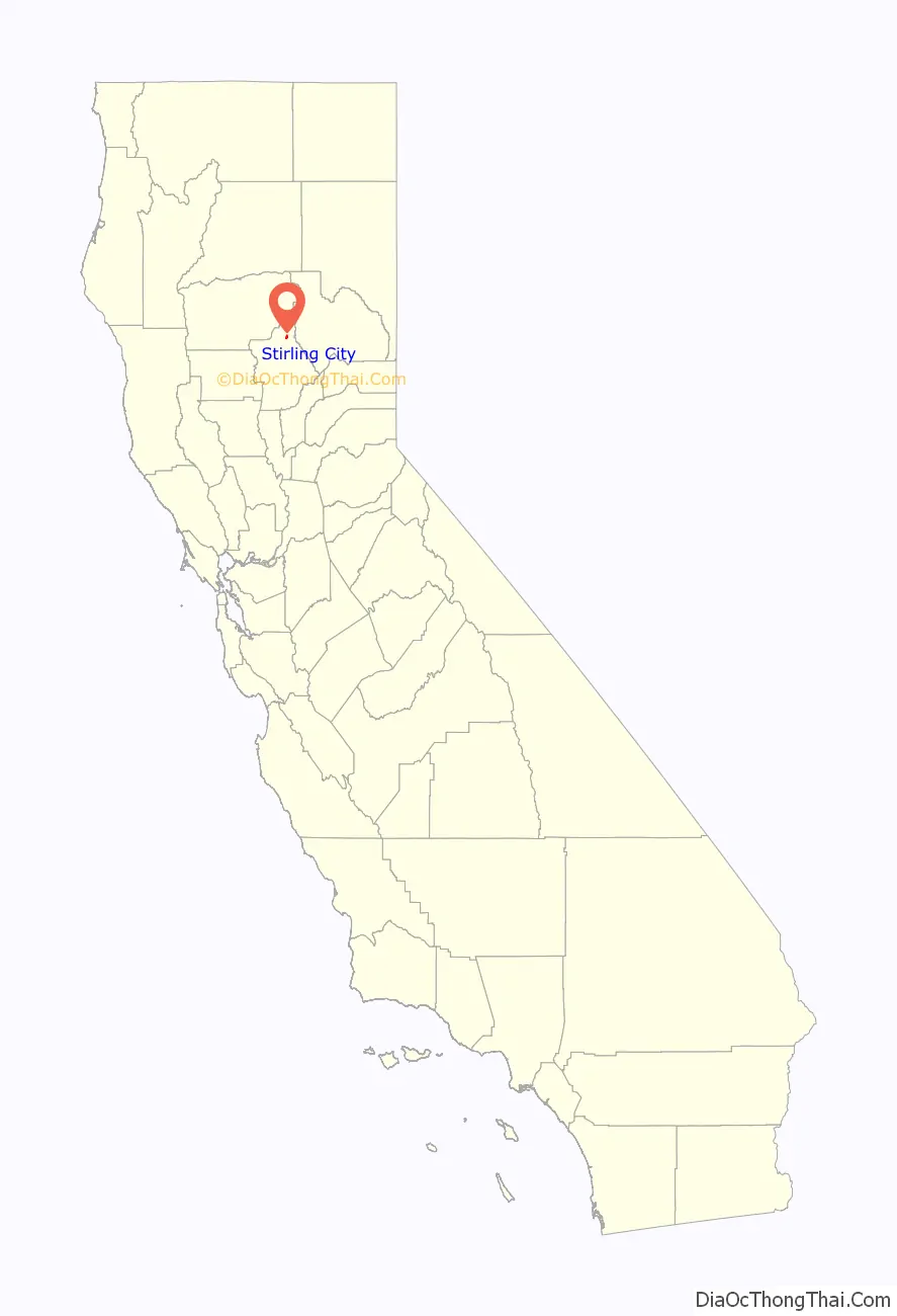
Stirling City location map. Where is Stirling City CDP?
History
It was founded in 1903 by the Diamond Match Company of Barberton, Ohio, as a center for processing cut lumber from the surrounding forests. Diamond Match official Fred Clough named the city, taking the name from the boiler used at Diamond’s Baberton plant, made by the Stirling Boiler Company.
The sawmill closed in the early 1970s. The land surrounding Stirling City is still harvested for timber, and the cleared area is farmed for cattle, fruit, and nuts.
A post office opened in 1903.
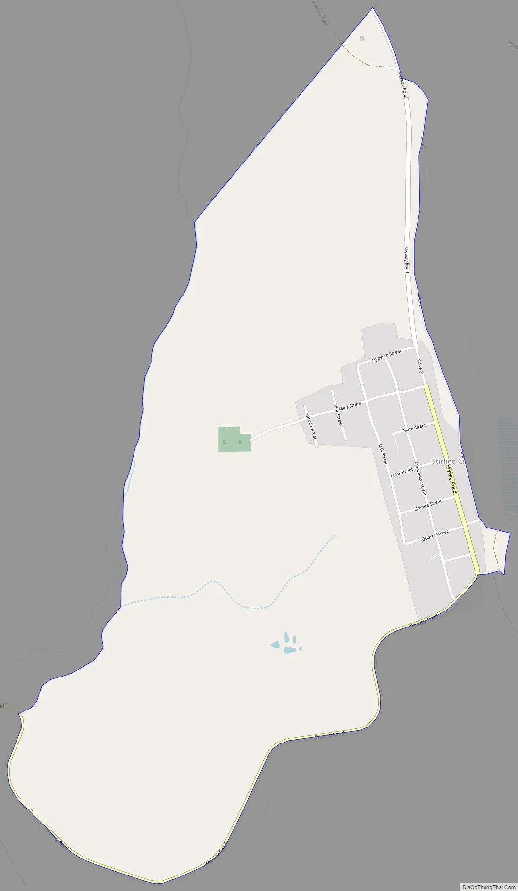
Stirling City Road Map
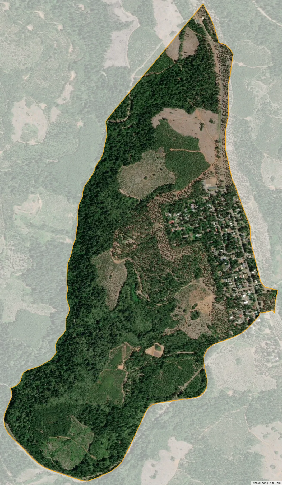
Stirling City city Satellite Map
See also
Map of California State and its subdivision:- Alameda
- Alpine
- Amador
- Butte
- Calaveras
- Colusa
- Contra Costa
- Del Norte
- El Dorado
- Fresno
- Glenn
- Humboldt
- Imperial
- Inyo
- Kern
- Kings
- Lake
- Lassen
- Los Angeles
- Madera
- Marin
- Mariposa
- Mendocino
- Merced
- Modoc
- Mono
- Monterey
- Napa
- Nevada
- Orange
- Placer
- Plumas
- Riverside
- Sacramento
- San Benito
- San Bernardino
- San Diego
- San Francisco
- San Joaquin
- San Luis Obispo
- San Mateo
- Santa Barbara
- Santa Clara
- Santa Cruz
- Shasta
- Sierra
- Siskiyou
- Solano
- Sonoma
- Stanislaus
- Sutter
- Tehama
- Trinity
- Tulare
- Tuolumne
- Ventura
- Yolo
- Yuba
- Alabama
- Alaska
- Arizona
- Arkansas
- California
- Colorado
- Connecticut
- Delaware
- District of Columbia
- Florida
- Georgia
- Hawaii
- Idaho
- Illinois
- Indiana
- Iowa
- Kansas
- Kentucky
- Louisiana
- Maine
- Maryland
- Massachusetts
- Michigan
- Minnesota
- Mississippi
- Missouri
- Montana
- Nebraska
- Nevada
- New Hampshire
- New Jersey
- New Mexico
- New York
- North Carolina
- North Dakota
- Ohio
- Oklahoma
- Oregon
- Pennsylvania
- Rhode Island
- South Carolina
- South Dakota
- Tennessee
- Texas
- Utah
- Vermont
- Virginia
- Washington
- West Virginia
- Wisconsin
- Wyoming


