Thermalito (Spanish for “Small Thermal”) is a census-designated place (CDP) in Butte County, California, United States. The population was 6,646 at the 2010 census, up from 6,045 at the 2000 census. The area is generally considered an integral part of Oroville, and borders the town on two sides, in addition to the near-enclave of the city of Oroville surrounded by Thermalito on all sides, with the exception of the extremely narrow spit of land connecting Afterbay to Oroville proper.
| Name: | Thermalito CDP |
|---|---|
| LSAD Code: | 57 |
| LSAD Description: | CDP (suffix) |
| State: | California |
| County: | Butte County |
| Elevation: | 223 ft (68 m) |
| Total Area: | 12.870 sq mi (33.332 km²) |
| Land Area: | 12.702 sq mi (32.898 km²) |
| Water Area: | 0.168 sq mi (0.434 km²) 1.30% |
| Total Population: | 6,646 |
| Population Density: | 520/sq mi (200/km²) |
| ZIP code: | 95965 |
| Area code: | 530 |
| FIPS code: | 0678470 |
| GNISfeature ID: | 1659991 |
Online Interactive Map
Click on ![]() to view map in "full screen" mode.
to view map in "full screen" mode.
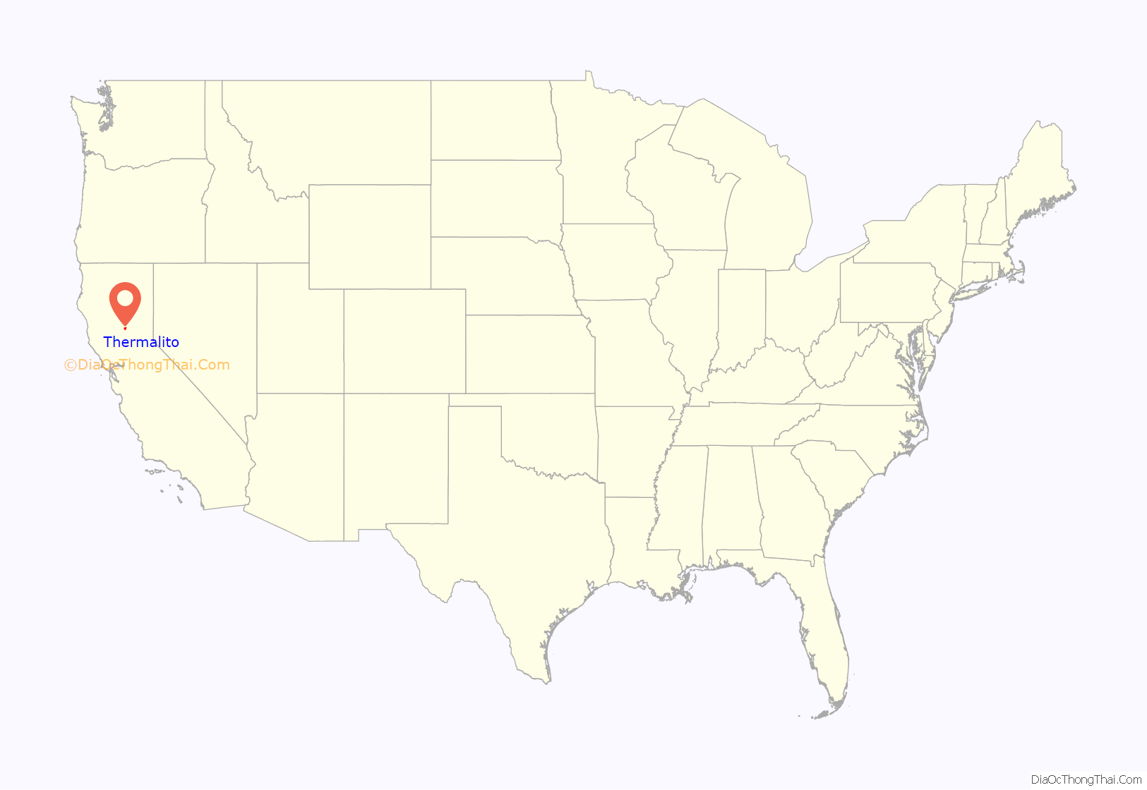
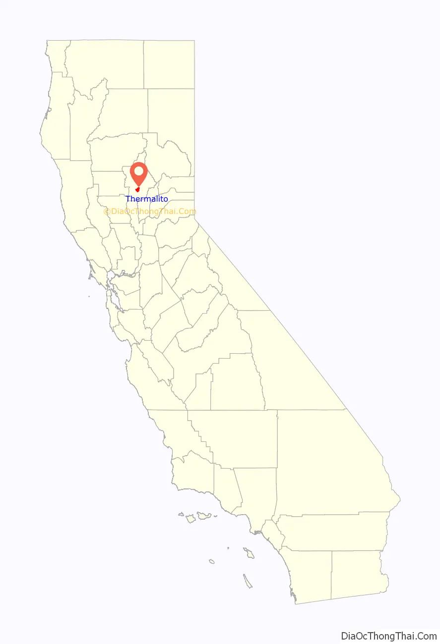
Thermalito location map. Where is Thermalito CDP?
History
A post office operated in Thermalito from 1895 to 1920.
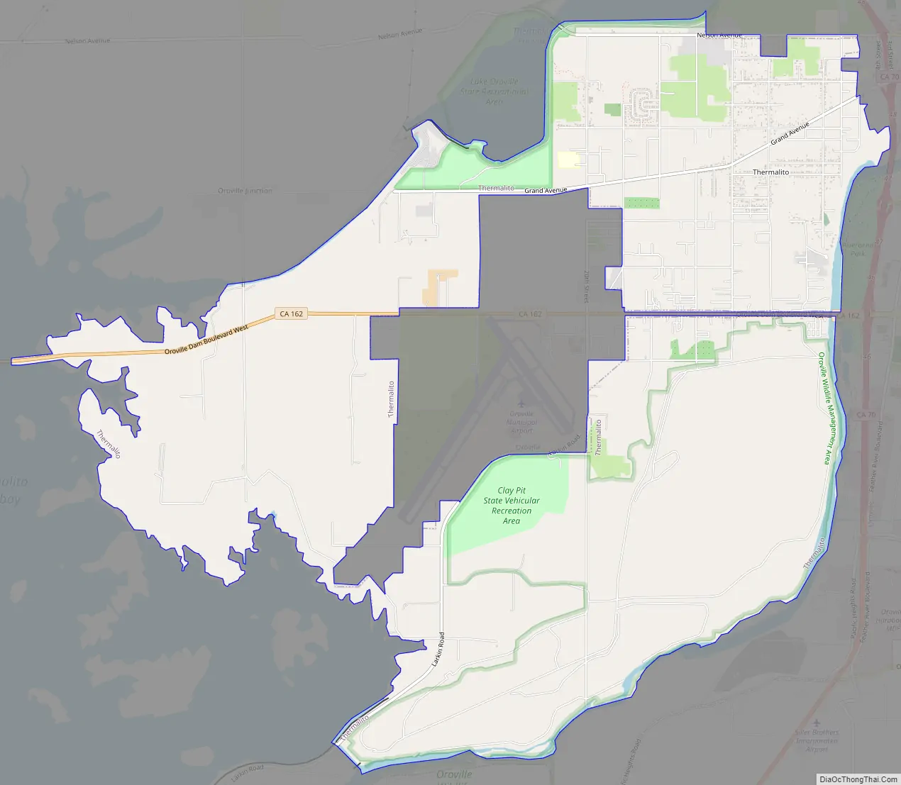
Thermalito Road Map
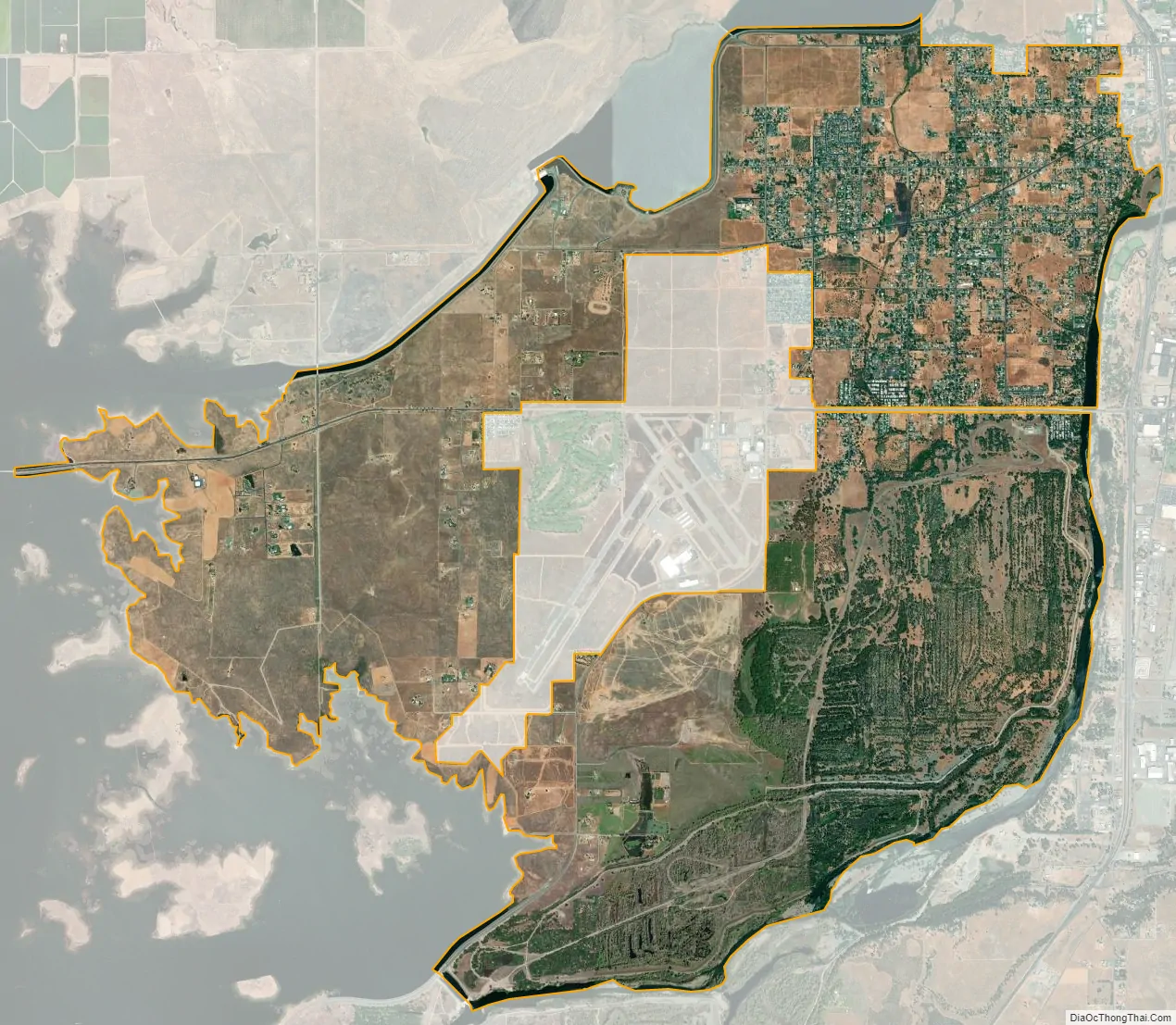
Thermalito city Satellite Map
Geography
According to the United States Census Bureau, the CDP has a total area of 13.0 square miles (34 km), of which, 12.8 square miles (33 km) of it is land and 0.1 square miles (0.26 km) of it (1.08%) is water.
Climate
According to the Köppen Climate Classification system, Thermalito has a warm-summer Mediterranean climate, abbreviated “Csa” on climate maps.
Thermalito trail
The Thermalito Trail is a trail located in Thermalito. It passes through the Kilkare Canyon.
See also
Map of California State and its subdivision:- Alameda
- Alpine
- Amador
- Butte
- Calaveras
- Colusa
- Contra Costa
- Del Norte
- El Dorado
- Fresno
- Glenn
- Humboldt
- Imperial
- Inyo
- Kern
- Kings
- Lake
- Lassen
- Los Angeles
- Madera
- Marin
- Mariposa
- Mendocino
- Merced
- Modoc
- Mono
- Monterey
- Napa
- Nevada
- Orange
- Placer
- Plumas
- Riverside
- Sacramento
- San Benito
- San Bernardino
- San Diego
- San Francisco
- San Joaquin
- San Luis Obispo
- San Mateo
- Santa Barbara
- Santa Clara
- Santa Cruz
- Shasta
- Sierra
- Siskiyou
- Solano
- Sonoma
- Stanislaus
- Sutter
- Tehama
- Trinity
- Tulare
- Tuolumne
- Ventura
- Yolo
- Yuba
- Alabama
- Alaska
- Arizona
- Arkansas
- California
- Colorado
- Connecticut
- Delaware
- District of Columbia
- Florida
- Georgia
- Hawaii
- Idaho
- Illinois
- Indiana
- Iowa
- Kansas
- Kentucky
- Louisiana
- Maine
- Maryland
- Massachusetts
- Michigan
- Minnesota
- Mississippi
- Missouri
- Montana
- Nebraska
- Nevada
- New Hampshire
- New Jersey
- New Mexico
- New York
- North Carolina
- North Dakota
- Ohio
- Oklahoma
- Oregon
- Pennsylvania
- Rhode Island
- South Carolina
- South Dakota
- Tennessee
- Texas
- Utah
- Vermont
- Virginia
- Washington
- West Virginia
- Wisconsin
- Wyoming


