Twin Lakes is a census-designated place (CDP) in Santa Cruz County, California, United States. The population is at an estimated 5,378 as of 2016 which is up by 461 in 2010.
| Name: | Twin Lakes CDP |
|---|---|
| LSAD Code: | 57 |
| LSAD Description: | CDP (suffix) |
| State: | California |
| County: | Santa Cruz County |
| Elevation: | 52 ft (16 m) |
| Total Area: | 1.210 sq mi (3.136 km²) |
| Land Area: | 0.690 sq mi (1.788 km²) |
| Water Area: | 0.520 sq mi (1.348 km²) 42.98% |
| Total Population: | 4,944 |
| Population Density: | 4,100/sq mi (1,600/km²) |
| ZIP code: | 95066/95067 |
| Area code: | 831 |
| FIPS code: | 0681050 |
| GNISfeature ID: | 1660053 |
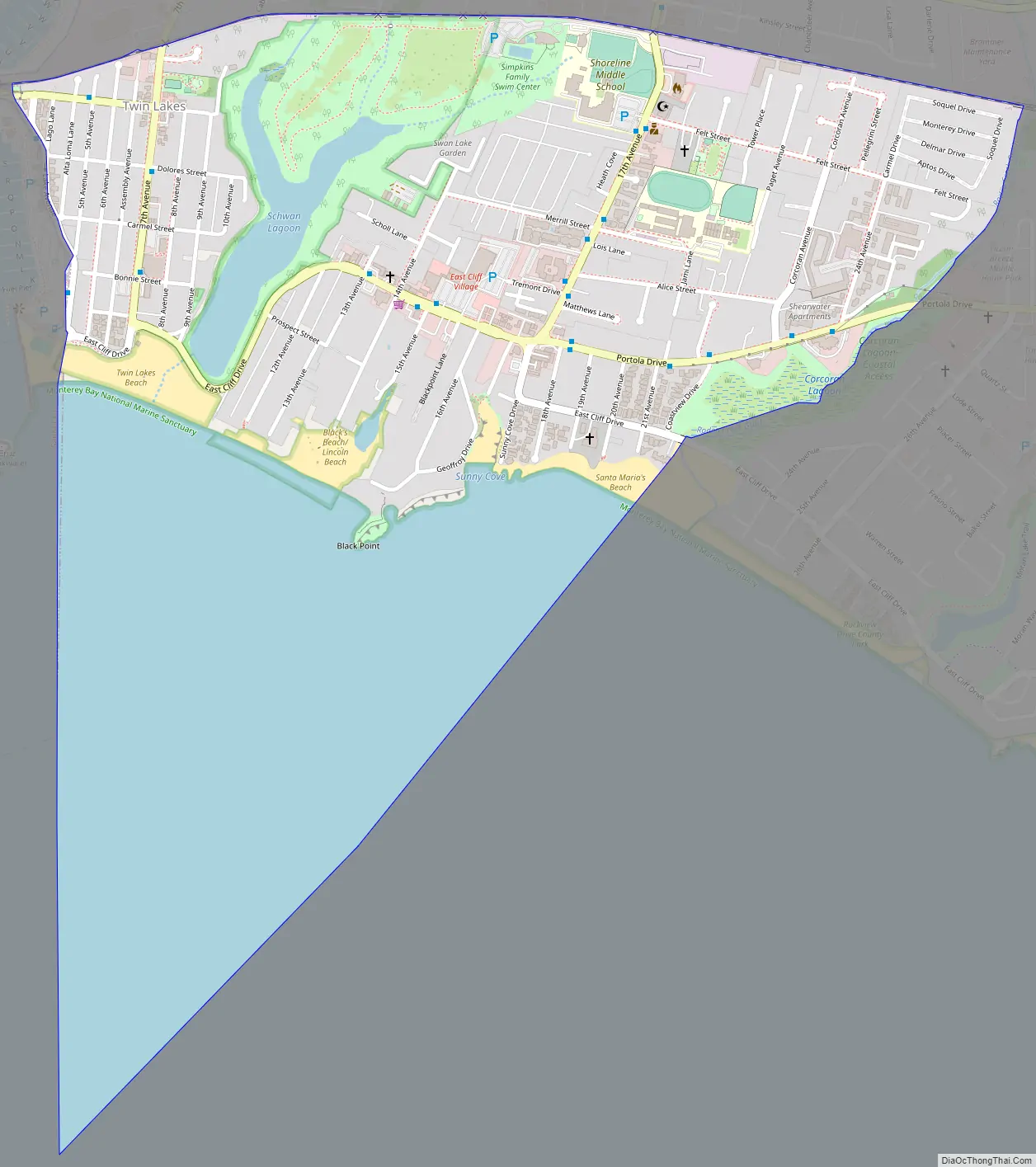
Online Interactive Map
Click on ![]() to view map in "full screen" mode.
to view map in "full screen" mode.
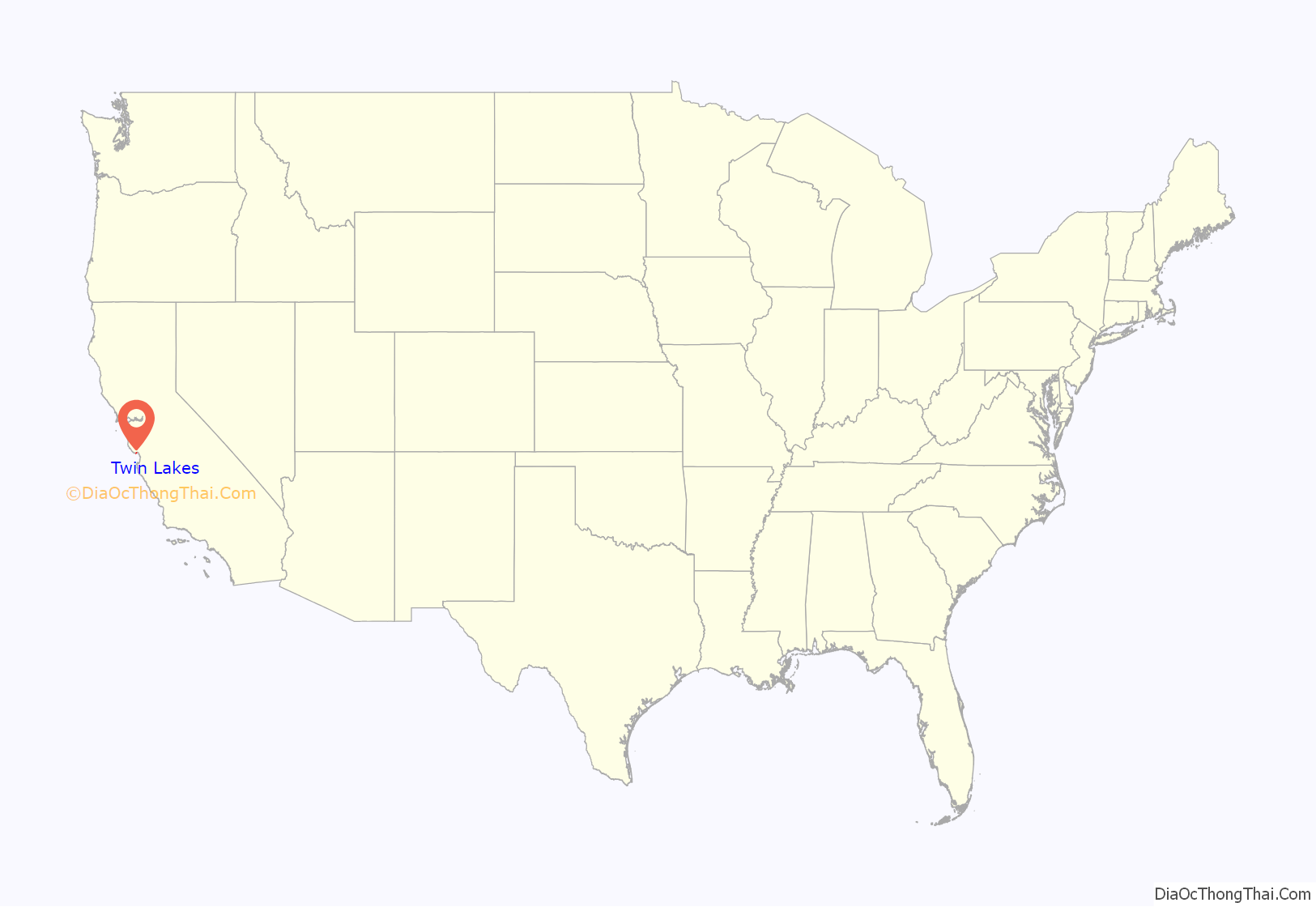
Twin Lakes location map. Where is Twin Lakes CDP?
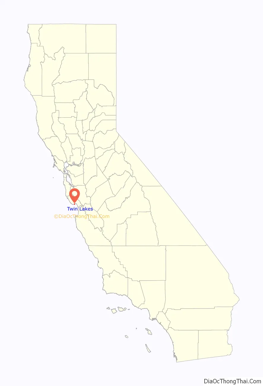
Twin Lakes Road Map
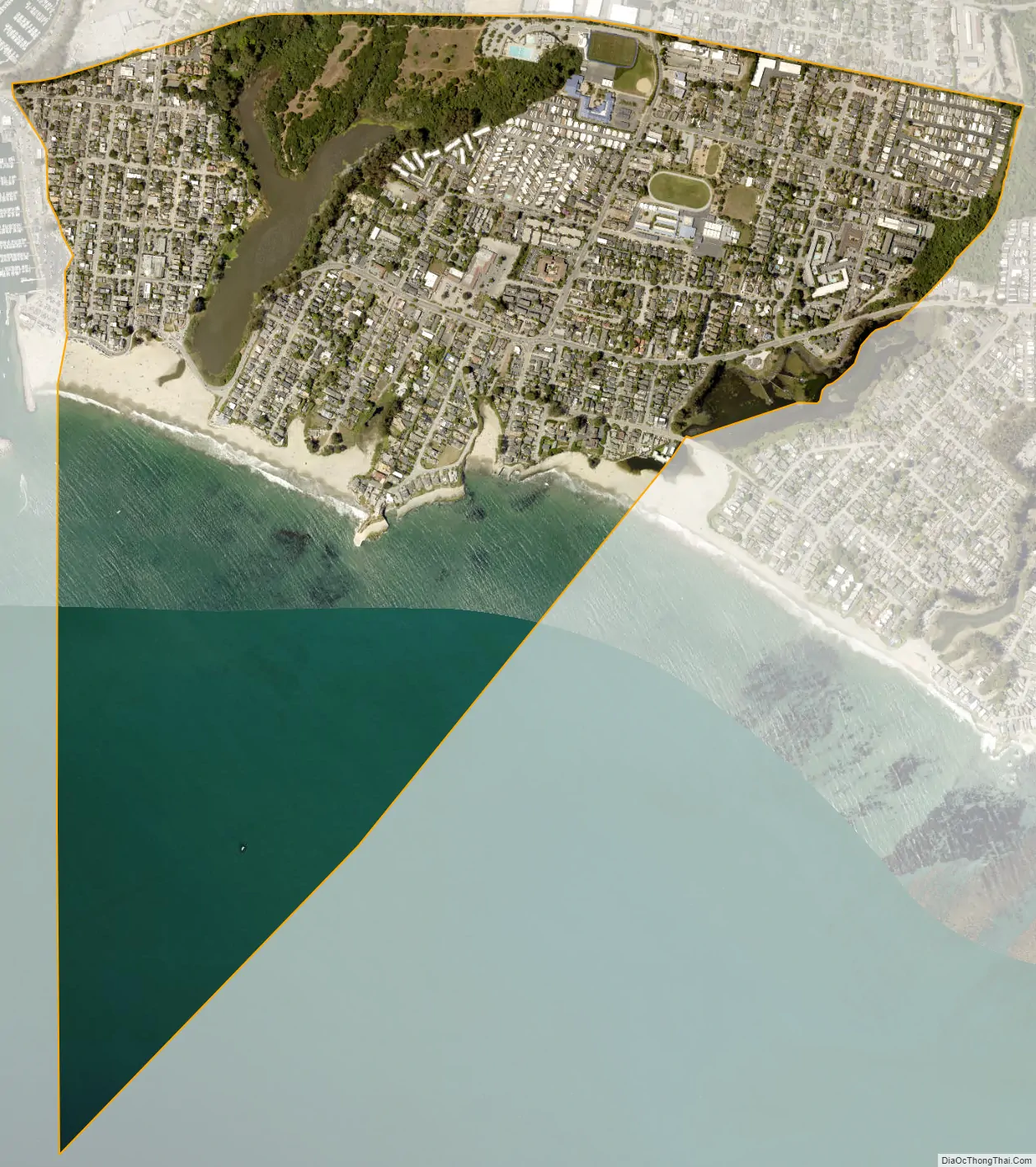
Twin Lakes city Satellite Map
Geography
Twin Lakes is located at 36°57′48″N 121°59′37″W / 36.96333°N 121.99361°W / 36.96333; -121.99361 (36.963450, -121.993498).
According to the United States Census Bureau, the CDP has a total area of 1.2 square miles (3.1 km), of which, 0.7 square miles (1.8 km) of it is land and 0.5 square miles (1.3 km) of it (42.98%) is water.
Twin Lakes also has Twin Lakes State Beach. It is a mile long beach popular for swimming and picnicking. It has some hiking trails, but it also known for stand-up paddle boarding, and other beach activities.
See also
Map of California State and its subdivision:- Alameda
- Alpine
- Amador
- Butte
- Calaveras
- Colusa
- Contra Costa
- Del Norte
- El Dorado
- Fresno
- Glenn
- Humboldt
- Imperial
- Inyo
- Kern
- Kings
- Lake
- Lassen
- Los Angeles
- Madera
- Marin
- Mariposa
- Mendocino
- Merced
- Modoc
- Mono
- Monterey
- Napa
- Nevada
- Orange
- Placer
- Plumas
- Riverside
- Sacramento
- San Benito
- San Bernardino
- San Diego
- San Francisco
- San Joaquin
- San Luis Obispo
- San Mateo
- Santa Barbara
- Santa Clara
- Santa Cruz
- Shasta
- Sierra
- Siskiyou
- Solano
- Sonoma
- Stanislaus
- Sutter
- Tehama
- Trinity
- Tulare
- Tuolumne
- Ventura
- Yolo
- Yuba
- Alabama
- Alaska
- Arizona
- Arkansas
- California
- Colorado
- Connecticut
- Delaware
- District of Columbia
- Florida
- Georgia
- Hawaii
- Idaho
- Illinois
- Indiana
- Iowa
- Kansas
- Kentucky
- Louisiana
- Maine
- Maryland
- Massachusetts
- Michigan
- Minnesota
- Mississippi
- Missouri
- Montana
- Nebraska
- Nevada
- New Hampshire
- New Jersey
- New Mexico
- New York
- North Carolina
- North Dakota
- Ohio
- Oklahoma
- Oregon
- Pennsylvania
- Rhode Island
- South Carolina
- South Dakota
- Tennessee
- Texas
- Utah
- Vermont
- Virginia
- Washington
- West Virginia
- Wisconsin
- Wyoming


