Wrightwood is a census-designated place in San Bernardino County, California. It sits at an elevation of 6,000 feet (1,800 m). The population was 4,525 at the 2010 census, up from the population of 3,837 at the 2000 census. Wrightwood is located 77 miles (124 km) northeast of Los Angeles. Wrightwood is on the Pacific Crest Trail.
| Name: | Wrightwood CDP |
|---|---|
| LSAD Code: | 57 |
| LSAD Description: | CDP (suffix) |
| State: | California |
| County: | San Bernardino County |
| Elevation: | 5,900 ft (1,798 m) |
| Total Area: | 5.929 sq mi (15.357 km²) |
| Land Area: | 5.926 sq mi (15.348 km²) |
| Water Area: | 0.003 sq mi (0.009 km²) 0.06% |
| Total Population: | 4,525 |
| Population Density: | 760/sq mi (290/km²) |
| ZIP code: | 92397 |
| FIPS code: | 0686594 |
Online Interactive Map
Click on ![]() to view map in "full screen" mode.
to view map in "full screen" mode.
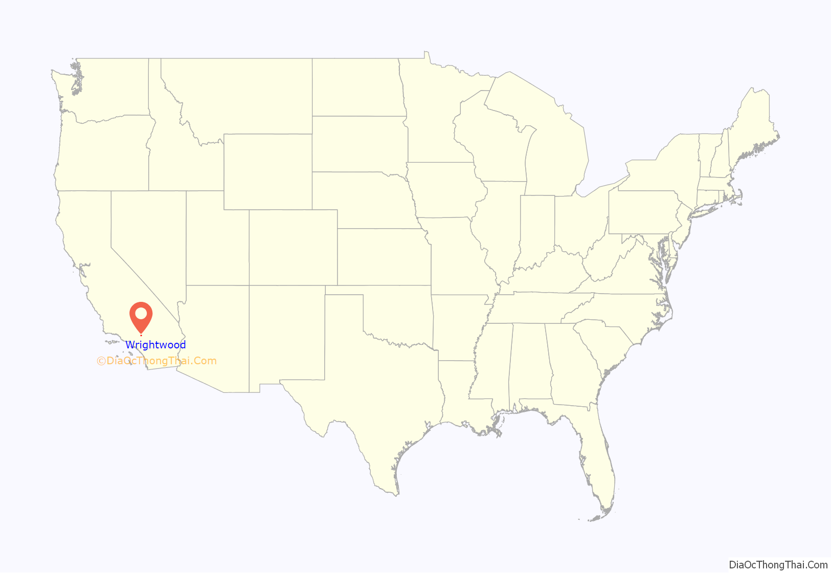
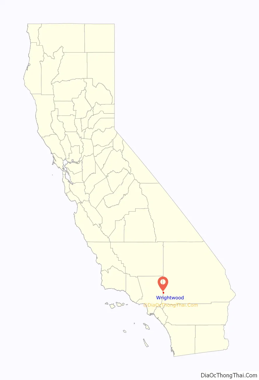
Wrightwood location map. Where is Wrightwood CDP?
History
Located in a pine-covered valley in the San Gabriel Mountains, the Wrightwood area was first developed as cattle ranches in the 19th century by Nathan and Truman Swarthout. Later, the main ranch, owned by Sumner Wright, was broken up into residential and commercial lots, and by the 1920s a community had taken root. Early ski enthusiasts discovered the north-facing slopes of the San Gabriels above the Swarthout Valley. Until 1937, the ski area, originally known as Big Pines, was part of a Los Angeles County park. After WWII, Big Pines opened their 1946–47 ski season with a new chairlift and the Sepp Benedikter Ski School (according to their ad in the February 1947 issue of Western Skiing magazine). Highways were built connecting to the major routes in the Cajon Pass, making Wrightwood accessible without serious mountain driving.
The former vacation community is now home to over 4,000 full-time residents. Serrano High School in the neighboring community of Phelan opened in 1982; it also serves Wrightwood and the neighboring community of Piñon Hills.
In August 2016, part of Wrightwood’s population was evacuated as part of mandatory evacuations of over 82,000 people in San Bernardino County due to the Blue Cut Fire. In September 2020, the Bobcat Fire caused evacuation warnings for the Wrightwood area as it raged across the San Gabriel Mountains.
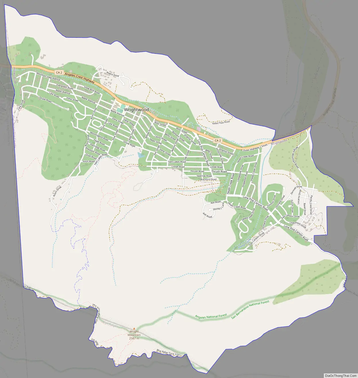
Wrightwood Road Map
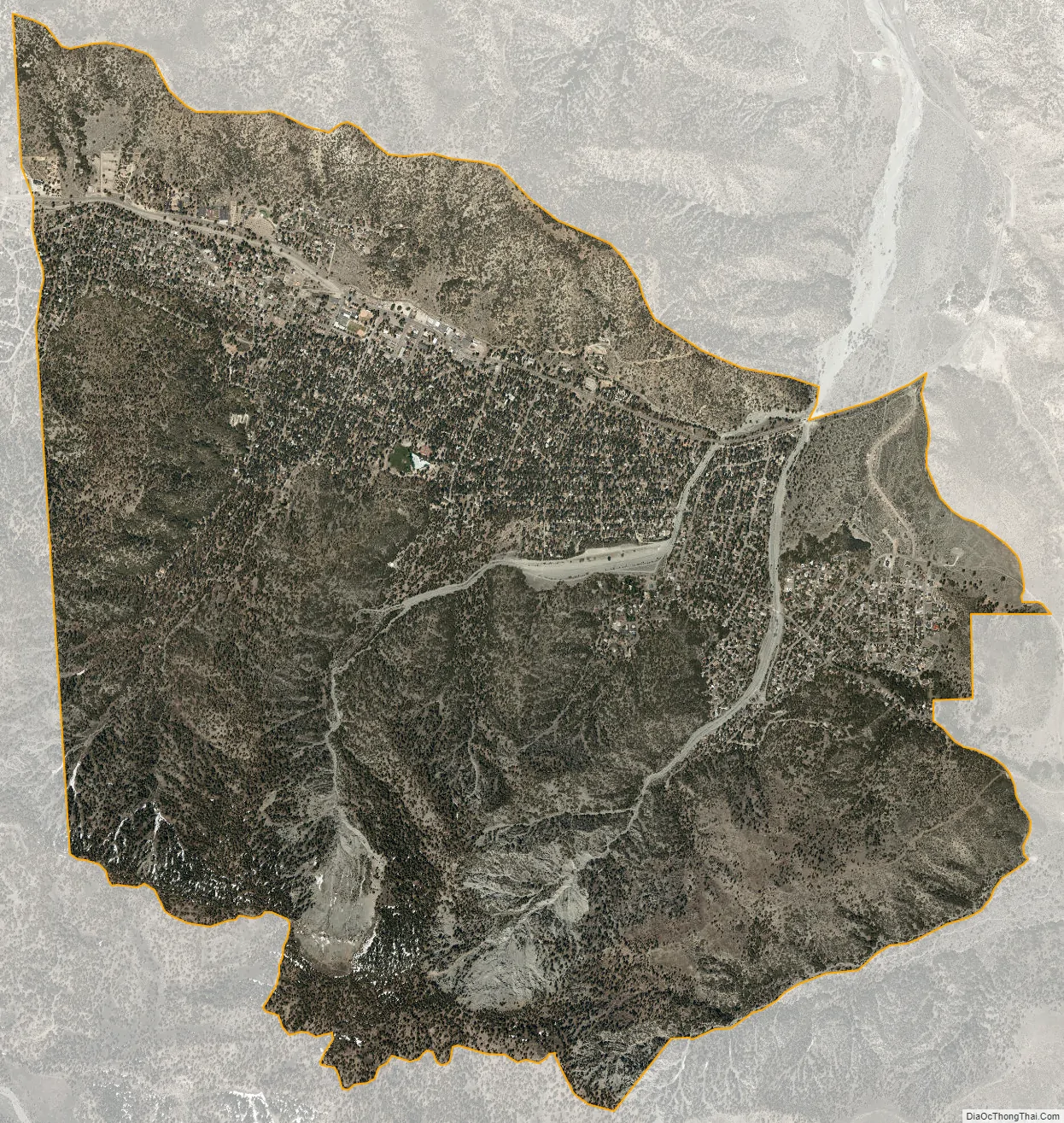
Wrightwood city Satellite Map
Geography
Wrightwood is located at 34°21′21″N 117°37′45″W / 34.35583°N 117.62917°W / 34.35583; -117.62917 (34.355921, −117.629233). At nearly 6,000 feet (1,800 m) in elevation, Wrightwood’s valley is protected by the Blue Ridge to the south.
According to the United States Census Bureau, the CDP has a total area of 5.9 square miles (15 km), 99.94% of it land and 0.06% of it water. The climate is Mediterranean (Köppen Csb) influenced by its highland position. Summers are vastly moderated by the cooling down of the air at the higher elevation compared to the hot plains to its north and the San Bernardino Valley to the south, although share the similar dry features and a lack of summer thunderstorms. In winter, the Mediterranean tendencies of the more semi-arid lowland areas are exaggerated by orographic lift, causing precipitation comparable to areas much further north in California. However, due to the elevation, a lot of winter precipitation falls as snow. Even so, daytime highs in all months average above freezing, rendering snowpacks unstable and unreliable.
See also
Map of California State and its subdivision:- Alameda
- Alpine
- Amador
- Butte
- Calaveras
- Colusa
- Contra Costa
- Del Norte
- El Dorado
- Fresno
- Glenn
- Humboldt
- Imperial
- Inyo
- Kern
- Kings
- Lake
- Lassen
- Los Angeles
- Madera
- Marin
- Mariposa
- Mendocino
- Merced
- Modoc
- Mono
- Monterey
- Napa
- Nevada
- Orange
- Placer
- Plumas
- Riverside
- Sacramento
- San Benito
- San Bernardino
- San Diego
- San Francisco
- San Joaquin
- San Luis Obispo
- San Mateo
- Santa Barbara
- Santa Clara
- Santa Cruz
- Shasta
- Sierra
- Siskiyou
- Solano
- Sonoma
- Stanislaus
- Sutter
- Tehama
- Trinity
- Tulare
- Tuolumne
- Ventura
- Yolo
- Yuba
- Alabama
- Alaska
- Arizona
- Arkansas
- California
- Colorado
- Connecticut
- Delaware
- District of Columbia
- Florida
- Georgia
- Hawaii
- Idaho
- Illinois
- Indiana
- Iowa
- Kansas
- Kentucky
- Louisiana
- Maine
- Maryland
- Massachusetts
- Michigan
- Minnesota
- Mississippi
- Missouri
- Montana
- Nebraska
- Nevada
- New Hampshire
- New Jersey
- New Mexico
- New York
- North Carolina
- North Dakota
- Ohio
- Oklahoma
- Oregon
- Pennsylvania
- Rhode Island
- South Carolina
- South Dakota
- Tennessee
- Texas
- Utah
- Vermont
- Virginia
- Washington
- West Virginia
- Wisconsin
- Wyoming


