Coaldale is a census-designated place (CDP) and post office located in and governed by Fremont County, Colorado, United States. The CDP is a part of the Cañon City, CO Micropolitan Statistical Area. The Coaldale post office has the ZIP Code 81222. At the United States Census 2020, the population of the Coaldale CDP was 343.
| Name: | Coaldale CDP |
|---|---|
| LSAD Code: | 57 |
| LSAD Description: | CDP (suffix) |
| State: | Colorado |
| County: | Fremont County |
| Founded: | 1891 |
| Elevation: | 6,550 ft (2,658 m) |
| Total Area: | 31.048 sq mi (80.413 km²) |
| Land Area: | 31.048 sq mi (80.413 km²) |
| Water Area: | 0.000 sq mi (0.000 km²) |
| Total Population: | 343 |
| Population Density: | 11/sq mi (4.3/km²) |
| ZIP code: | 81222 |
| Area code: | 719 |
| FIPS code: | 0815440 |
Online Interactive Map
Click on ![]() to view map in "full screen" mode.
to view map in "full screen" mode.
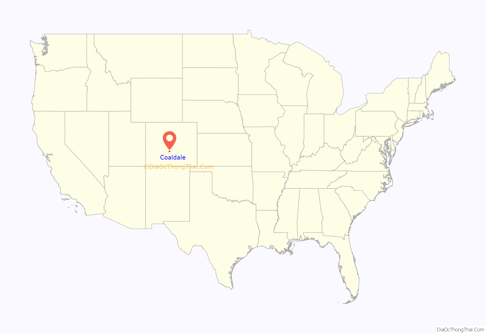
Coaldale location map. Where is Coaldale CDP?
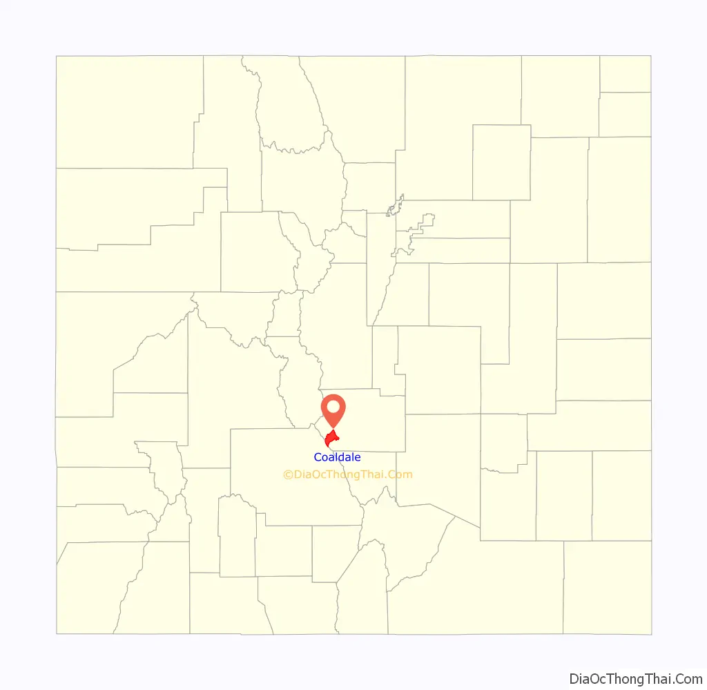
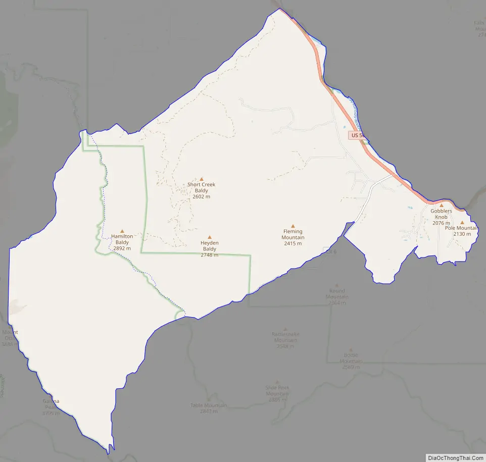
Coaldale Road Map
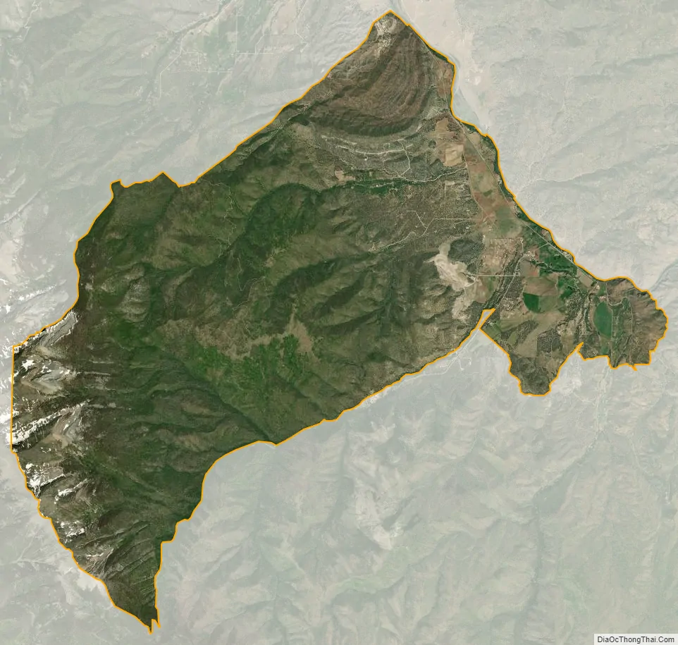
Coaldale city Satellite Map
Geography
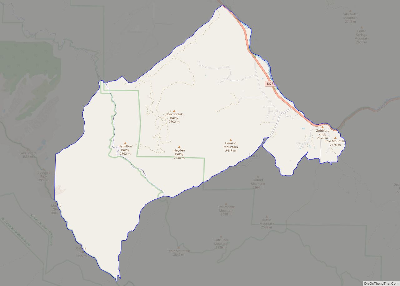
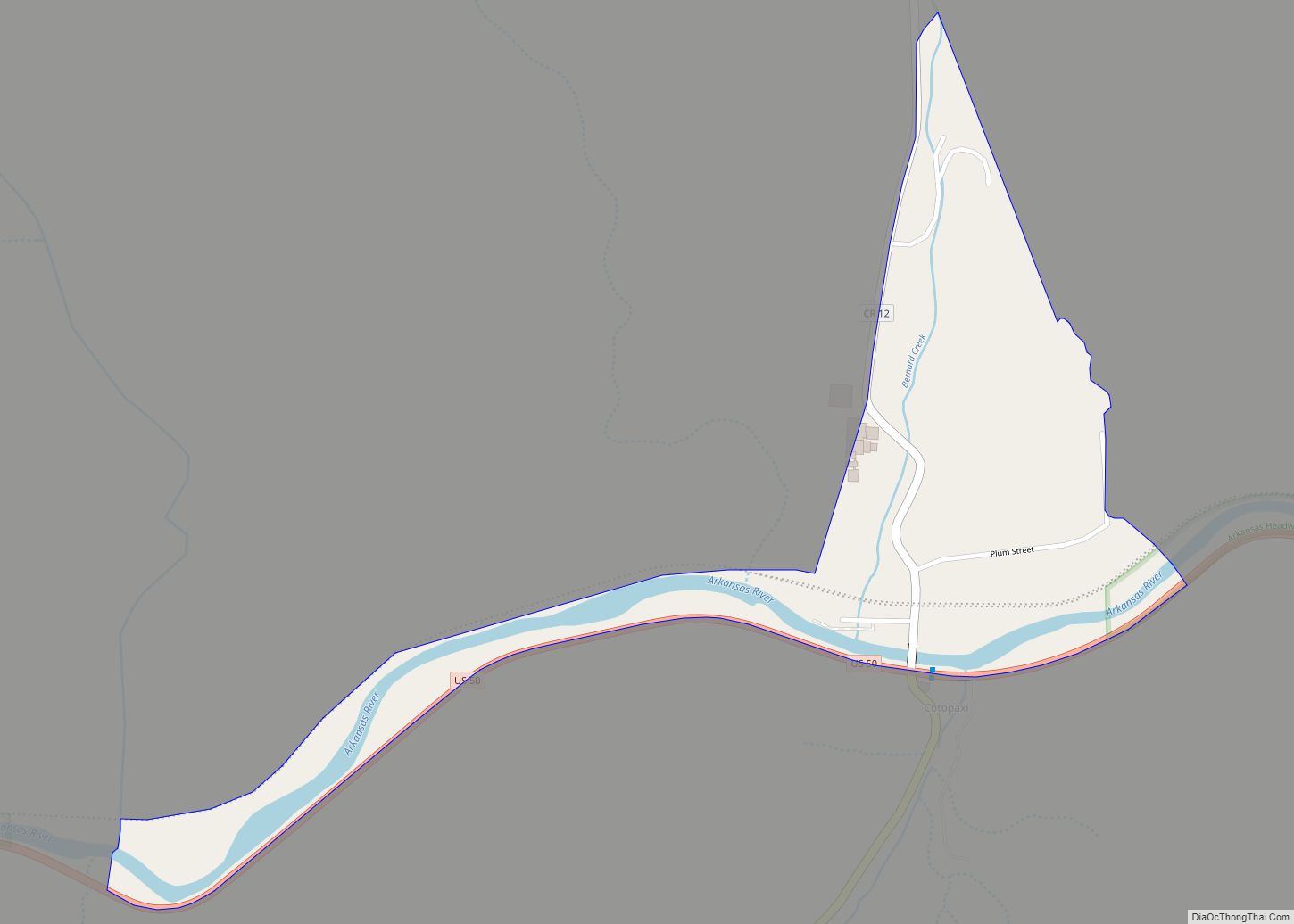
Coaldale is located in southwestern Fremont County. It is bordered to the northwest by the community of Howard. The northeastern edge of the CDP follows the Arkansas River, and U.S. Route 50 follows the river through the CDP. Cañon City, the county seat, is 37 miles (60 km) to the east (downriver), while Salida is 21 miles (34 km) northwest (upriver).
The Coaldale CDP has an area of 19,870 acres (80.413 km), all land. The CDP extends southwest out of the Arkansas River valley up into San Isabel National Forest and the Sangre de Cristo Range. The southeastern edge of the CDP follows the Hayden Creek valley up to Hayden Pass; the southwestern edge follows the Saguache County line along the crest of the Sangre de Cristos; and the northwestern edge follows Stout Creek and Kerr Gulch Road back down to the Arkansas River valley.
See also
Map of Colorado State and its subdivision:- Adams
- Alamosa
- Arapahoe
- Archuleta
- Baca
- Bent
- Boulder
- Broomfield
- Chaffee
- Cheyenne
- Clear Creek
- Conejos
- Costilla
- Crowley
- Custer
- Delta
- Denver
- Dolores
- Douglas
- Eagle
- El Paso
- Elbert
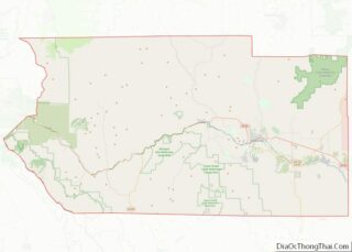
- Fremont
- Garfield
- Gilpin
- Grand
- Gunnison
- Hinsdale
- Huerfano
- Jackson
- Jefferson
- Kiowa
- Kit Carson
- La Plata
- Lake
- Larimer
- Las Animas
- Lincoln
- Logan
- Mesa
- Mineral
- Moffat
- Montezuma
- Montrose
- Morgan
- Otero
- Ouray
- Park
- Phillips
- Pitkin
- Prowers
- Pueblo
- Rio Blanco
- Rio Grande
- Routt
- Saguache
- San Juan
- San Miguel
- Sedgwick
- Summit
- Teller
- Washington
- Weld
- Yuma
- Alabama
- Alaska
- Arizona
- Arkansas
- California
- Colorado
- Connecticut
- Delaware
- District of Columbia
- Florida
- Georgia
- Hawaii
- Idaho
- Illinois
- Indiana
- Iowa
- Kansas
- Kentucky
- Louisiana
- Maine
- Maryland
- Massachusetts
- Michigan
- Minnesota
- Mississippi
- Missouri
- Montana
- Nebraska
- Nevada
- New Hampshire
- New Jersey
- New Mexico
- New York
- North Carolina
- North Dakota
- Ohio
- Oklahoma
- Oregon
- Pennsylvania
- Rhode Island
- South Carolina
- South Dakota
- Tennessee
- Texas
- Utah
- Vermont
- Virginia
- Washington
- West Virginia
- Wisconsin
- Wyoming