Columbine is census-designated place (CDP) in and governed by Jefferson and Arapahoe counties in Colorado, United States. The CDP is a part of the Denver metropolitan area. Located primarily in Jefferson County, Columbine lies immediately south of Denver. The population of the Columbine CDP was 25,229 at the 2020 census. The community lies in ZIP code 80123.
| Name: | Columbine CDP |
|---|---|
| LSAD Code: | 57 |
| LSAD Description: | CDP (suffix) |
| State: | Colorado |
| County: | Arapahoe County, Jefferson County |
| Elevation: | 5,545 ft (1,690 m) |
| Total Area: | 6.753 sq mi (17.491 km²) |
| Land Area: | 6.631 sq mi (17.173 km²) |
| Water Area: | 0.123 sq mi (0.318 km²) |
| Total Population: | 25,229 |
| Population Density: | 3,700/sq mi (1,400/km²) |
| ZIP code: | 80123 |
| FIPS code: | 0816110 |
Online Interactive Map
Click on ![]() to view map in "full screen" mode.
to view map in "full screen" mode.
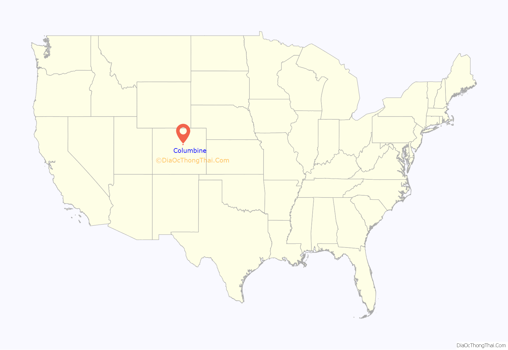
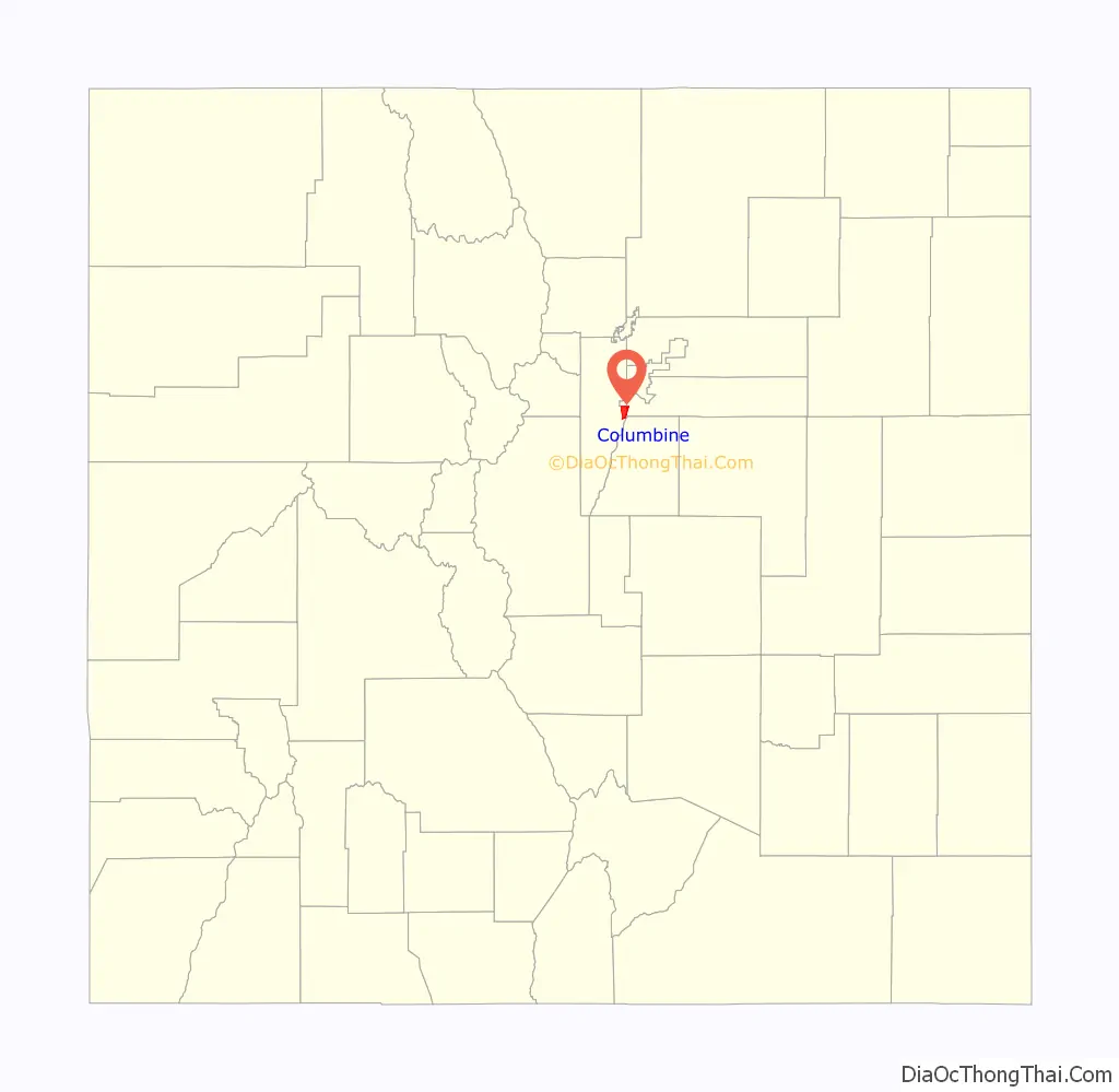
Columbine location map. Where is Columbine CDP?
History
Columbine grew rapidly during the Space Race years from 1958 to 1968 with the construction of the Martin Company missile facility in Waterton Canyon. Its population exceeded 20,000 for the first time in 1980.
Columbine was the site of the Columbine High School massacre in 1999 perpetrated by Eric Harris and Dylan Klebold.
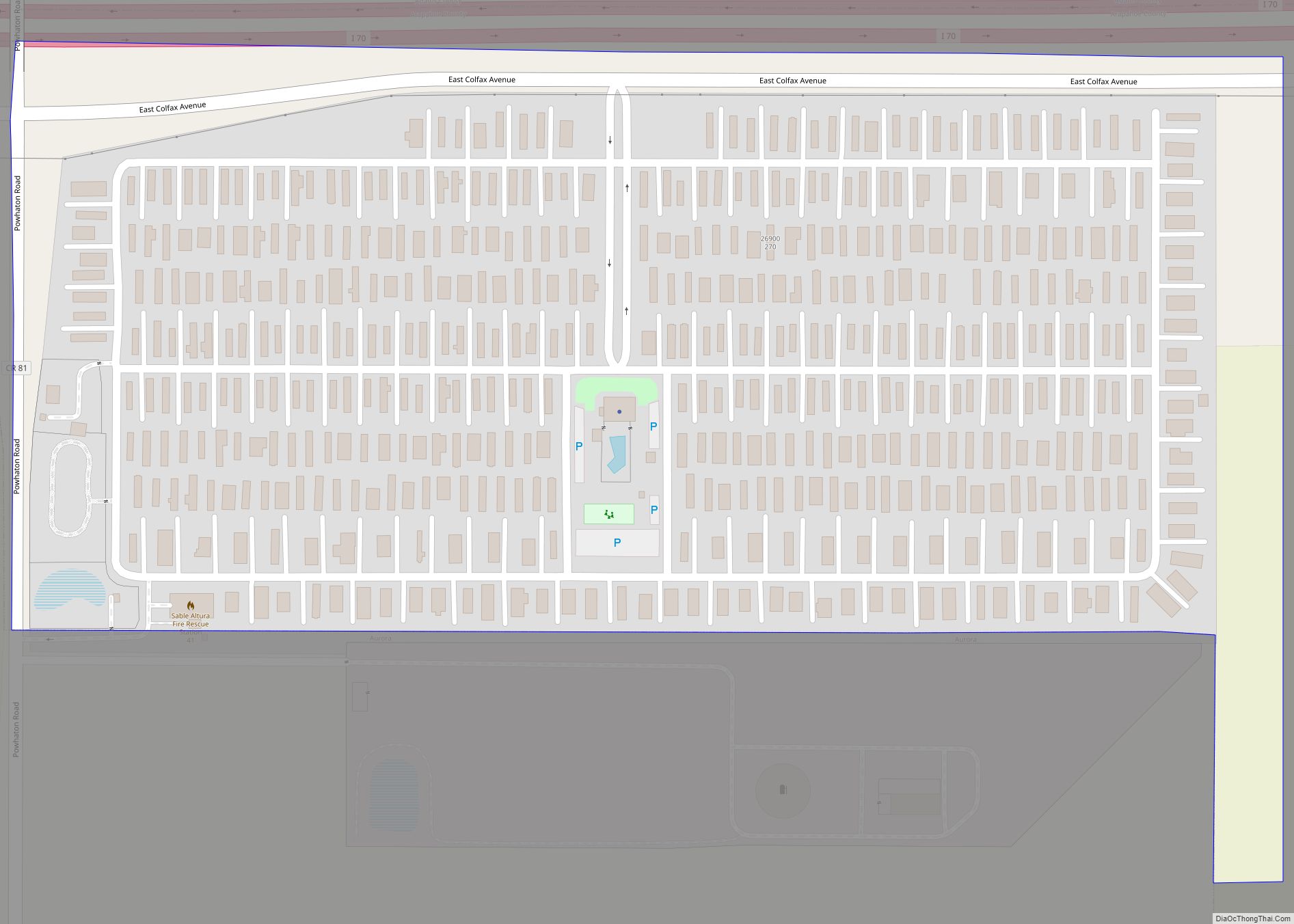
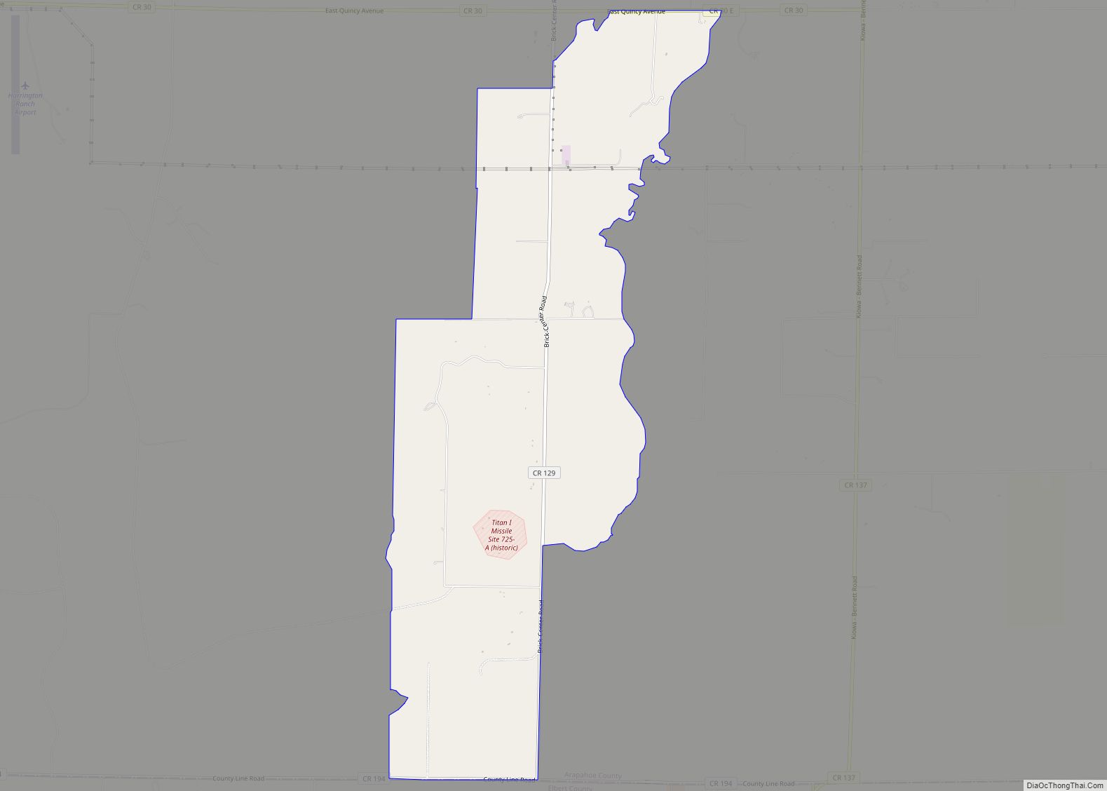
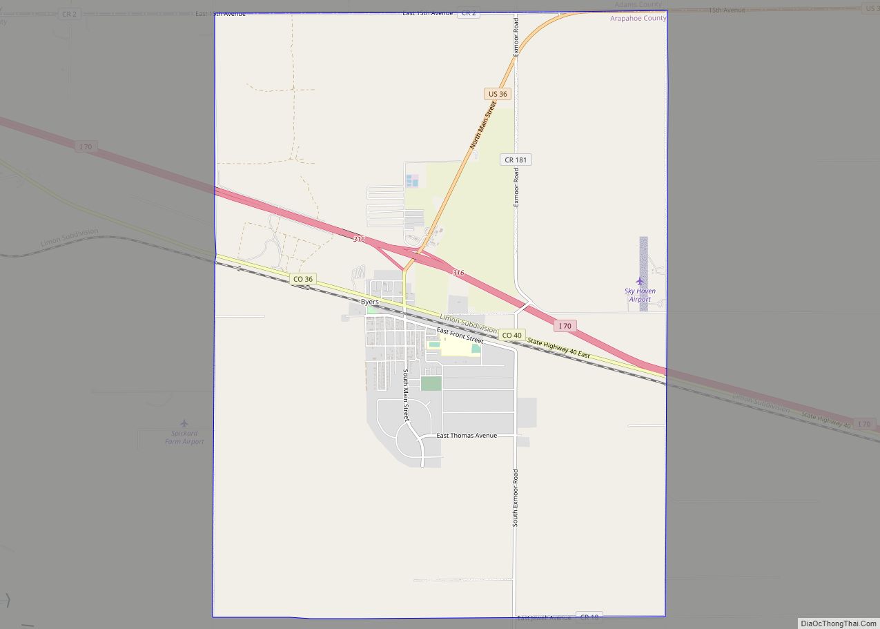
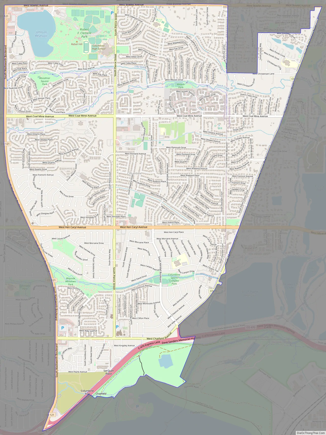
Columbine Road Map
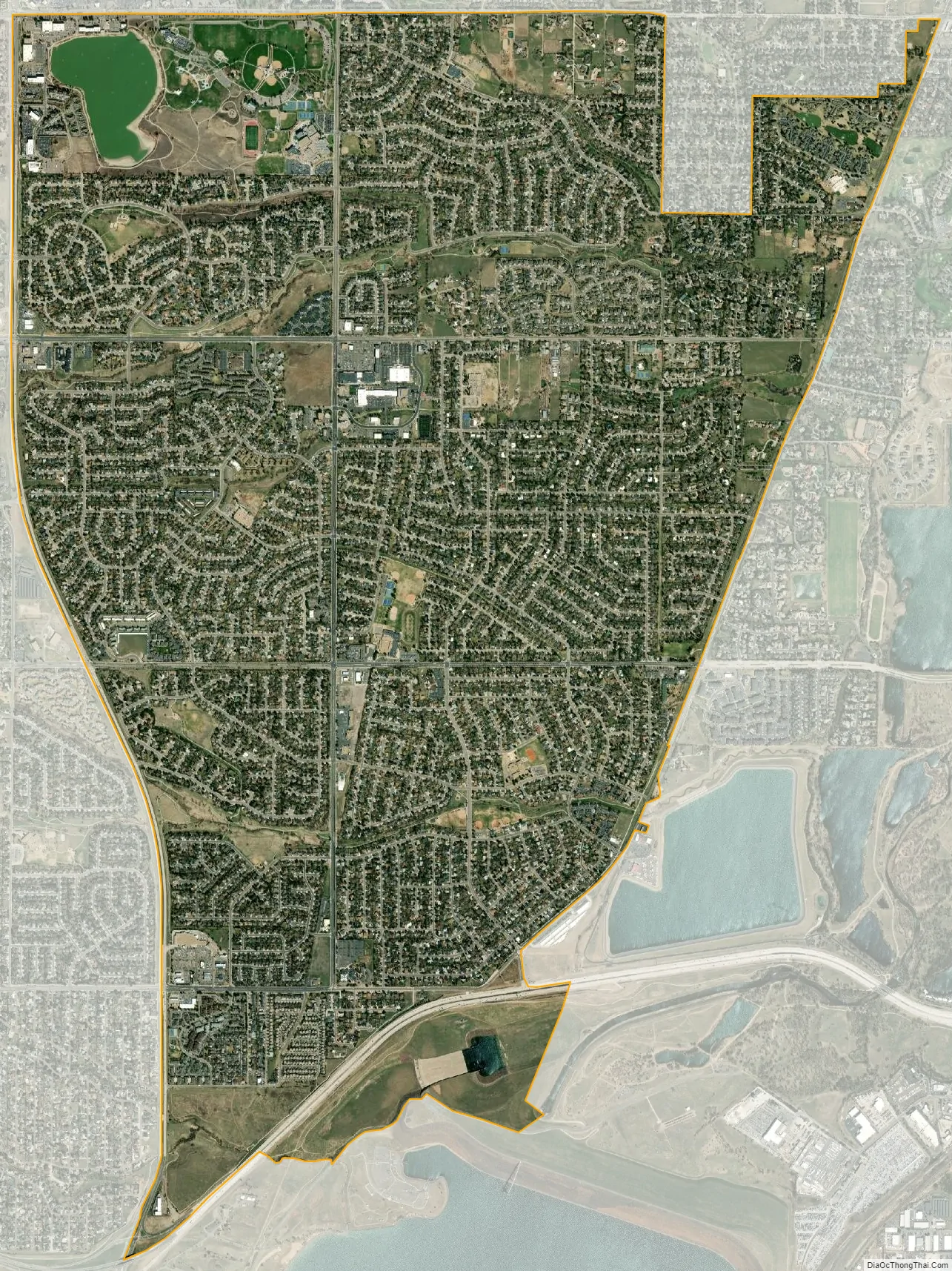
Columbine city Satellite Map
Geography
Columbine is located on the eastern edge of Jefferson County with a small portion extending east into Arapahoe County. Columbine is bordered to the east by Littleton and Columbine Valley, and to the west by Ken Caryl. The Denver city limits are 0.3 miles (0.48 km) north of the northern border of Columbine, and to the south the community extends as far as the Chatfield Reservoir dam.
The Columbine CDP has an area of 4,322 acres (17.491 km), including 79 acres (0.318 km) of water.
See also
Map of Colorado State and its subdivision:- Adams
- Alamosa
- Arapahoe
- Archuleta
- Baca
- Bent
- Boulder
- Broomfield
- Chaffee
- Cheyenne
- Clear Creek
- Conejos
- Costilla
- Crowley
- Custer
- Delta
- Denver
- Dolores
- Douglas
- Eagle
- El Paso
- Elbert
- Fremont
- Garfield
- Gilpin
- Grand
- Gunnison
- Hinsdale
- Huerfano
- Jackson
- Jefferson
- Kiowa
- Kit Carson
- La Plata
- Lake
- Larimer
- Las Animas
- Lincoln
- Logan
- Mesa
- Mineral
- Moffat
- Montezuma
- Montrose
- Morgan
- Otero
- Ouray
- Park
- Phillips
- Pitkin
- Prowers
- Pueblo
- Rio Blanco
- Rio Grande
- Routt
- Saguache
- San Juan
- San Miguel
- Sedgwick
- Summit
- Teller
- Washington
- Weld
- Yuma
- Alabama
- Alaska
- Arizona
- Arkansas
- California
- Colorado
- Connecticut
- Delaware
- District of Columbia
- Florida
- Georgia
- Hawaii
- Idaho
- Illinois
- Indiana
- Iowa
- Kansas
- Kentucky
- Louisiana
- Maine
- Maryland
- Massachusetts
- Michigan
- Minnesota
- Mississippi
- Missouri
- Montana
- Nebraska
- Nevada
- New Hampshire
- New Jersey
- New Mexico
- New York
- North Carolina
- North Dakota
- Ohio
- Oklahoma
- Oregon
- Pennsylvania
- Rhode Island
- South Carolina
- South Dakota
- Tennessee
- Texas
- Utah
- Vermont
- Virginia
- Washington
- West Virginia
- Wisconsin
- Wyoming