Applewood is an unincorporated community and a census-designated place (CDP) located in and governed by Jefferson County, Colorado, United States. The CDP is a part of the Denver–Aurora–Lakewood, CO Metropolitan Statistical Area. The population of the Applewood CDP was 7,833 at the 2020 United States Census. The Golden post office (Zip code 80401) serves the area.
| Name: | Applewood CDP |
|---|---|
| LSAD Code: | 57 |
| LSAD Description: | CDP (suffix) |
| State: | Colorado |
| County: | Jefferson County |
| Elevation: | 5,810 ft (1,771 m) |
| Total Area: | 4.486 sq mi (11.619 km²) |
| Land Area: | 4.064 sq mi (10.527 km²) |
| Water Area: | 0.422 sq mi (1.092 km²) |
| Total Population: | 7,833 |
| Population Density: | 1,700/sq mi (670/km²) |
| ZIP code: | Golden 80401 |
| FIPS code: | 0802575 |
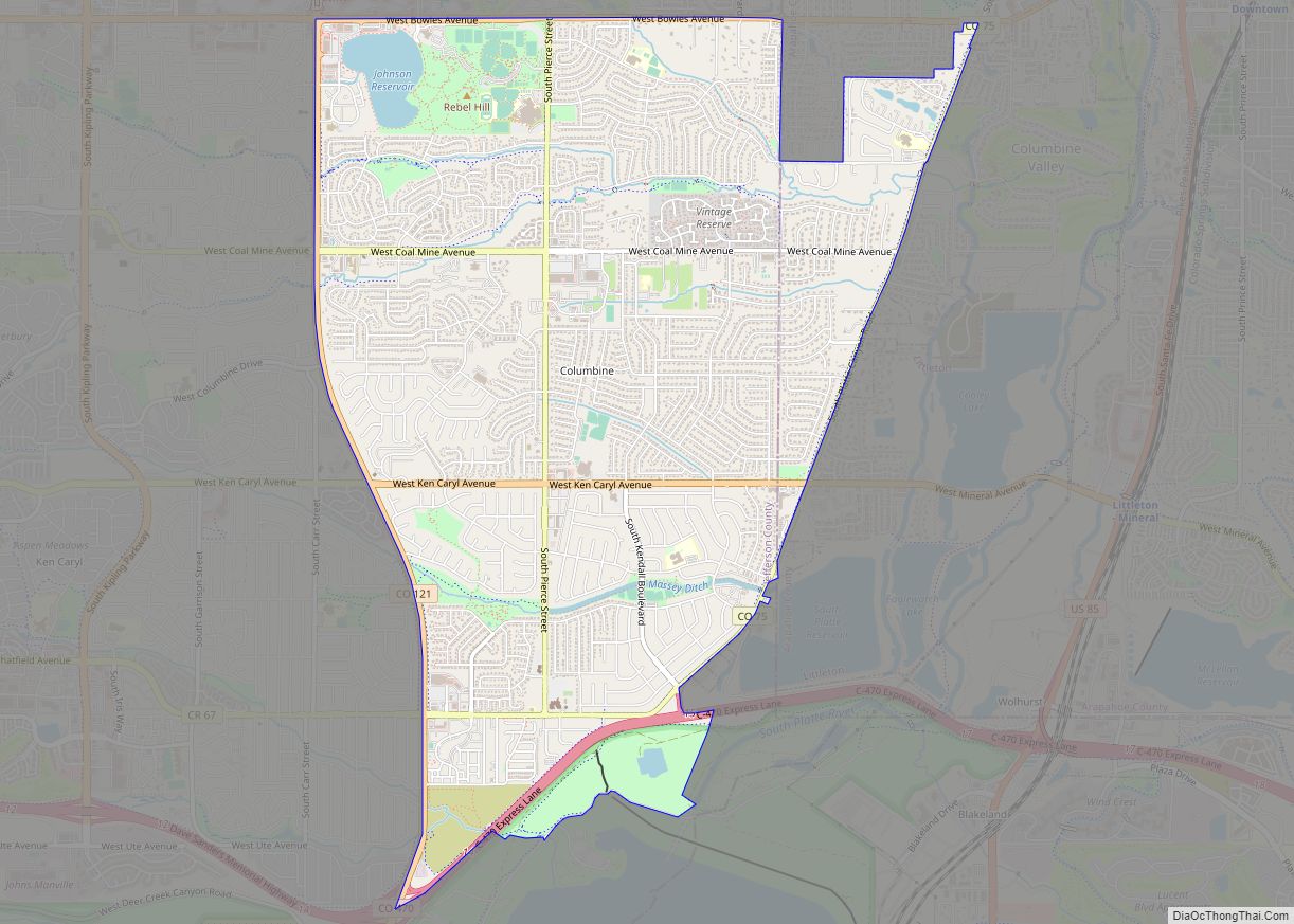
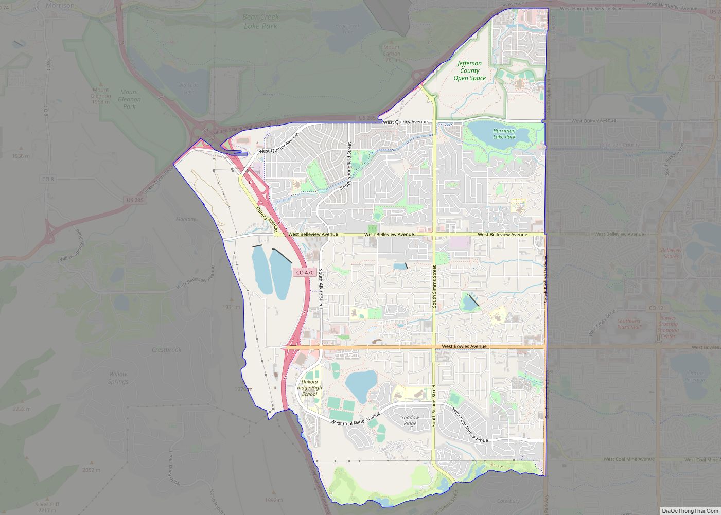
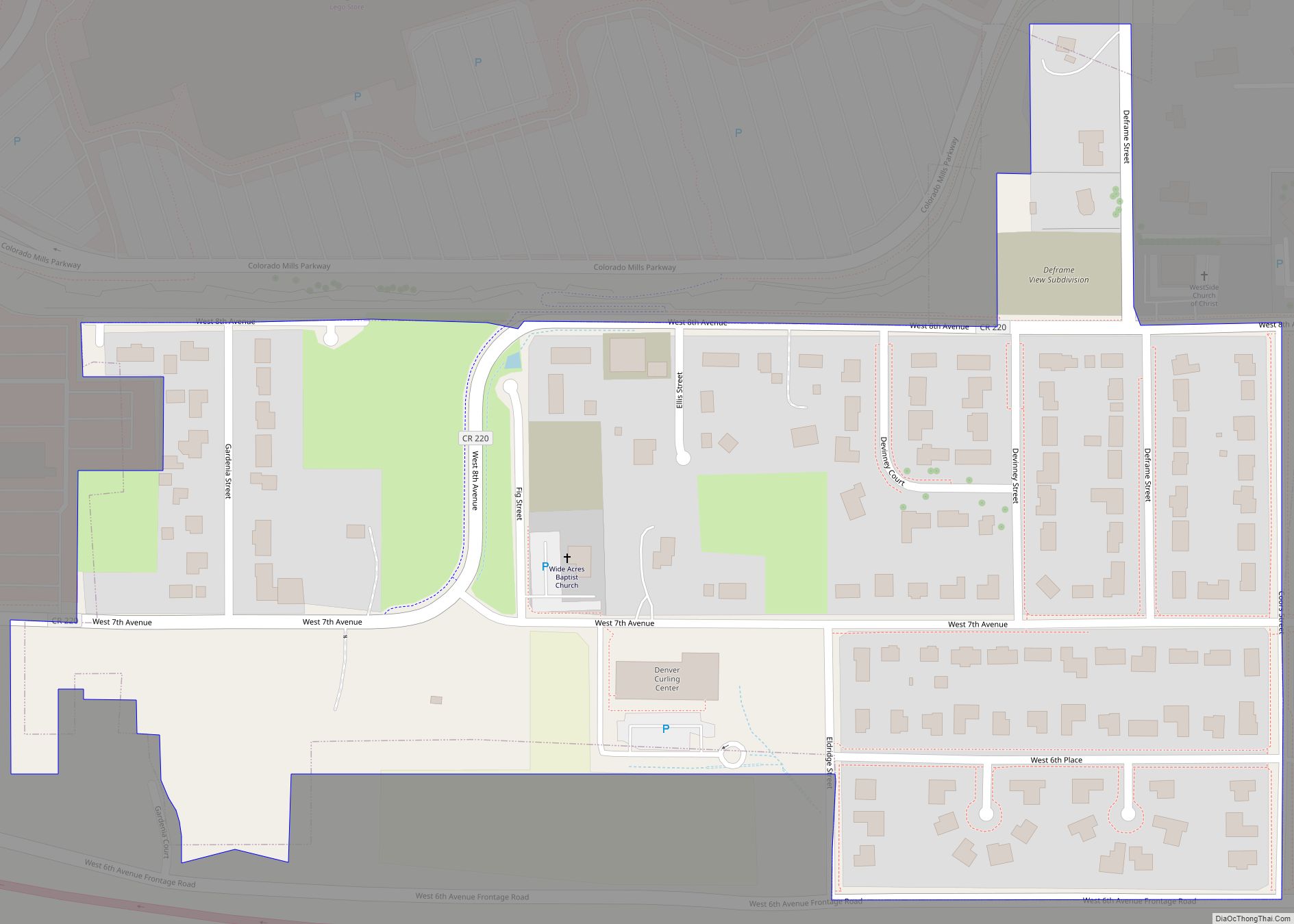
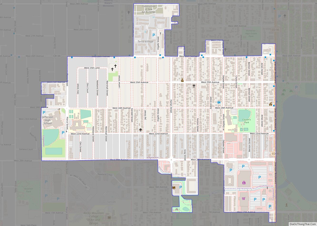
Online Interactive Map
Click on ![]() to view map in "full screen" mode.
to view map in "full screen" mode.
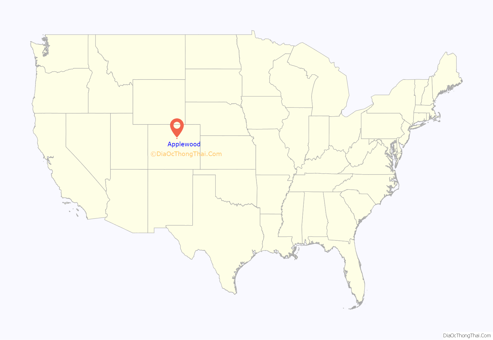
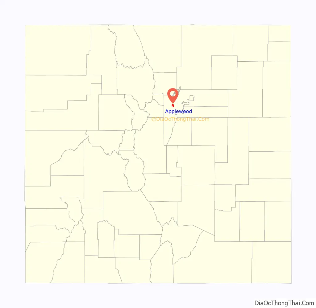
Applewood location map. Where is Applewood CDP?
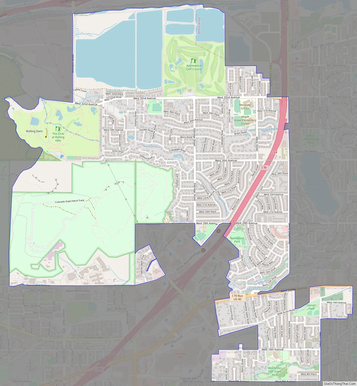
Applewood Road Map
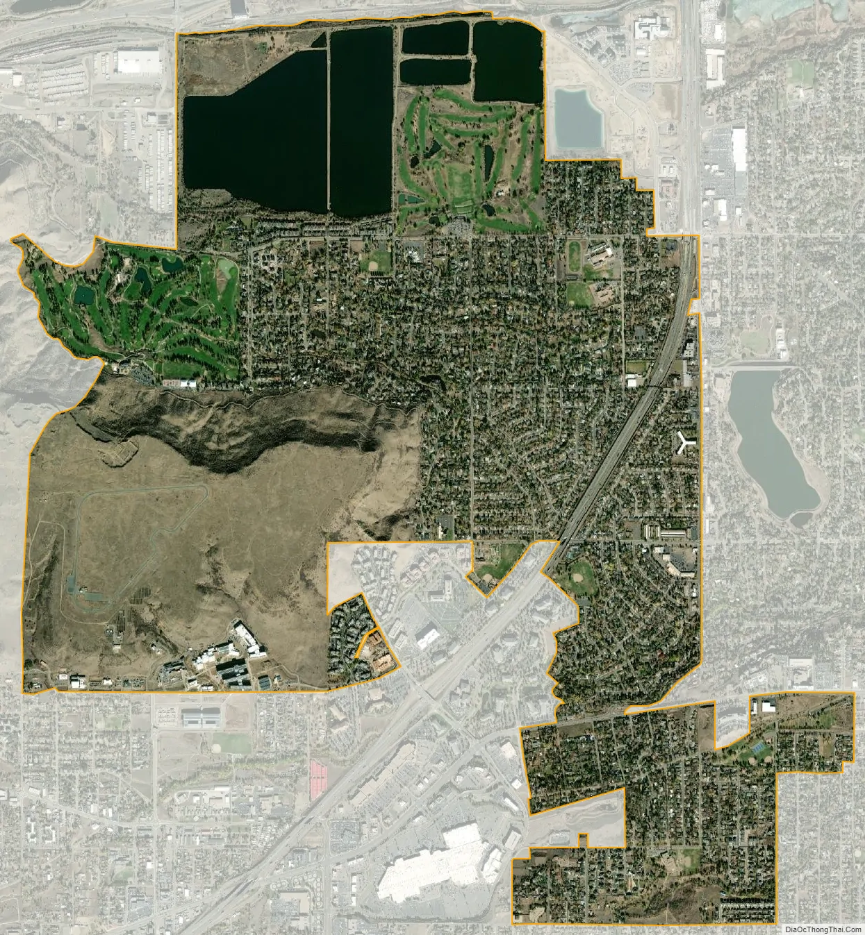
Applewood city Satellite Map
Geography
Applewood is 10 miles (16 km) west of downtown Denver. It is bordered to the north by Fairmount, to the northeast by Wheat Ridge, to the southeast by Lakewood, and to the southwest by West Pleasant View. South Table Mountain borders Applewood to the west.
The Applewood CDP has an area of 2,871 acres (11.619 km) including 270 acres (1.092 km) of water.
See also
Map of Colorado State and its subdivision:- Adams
- Alamosa
- Arapahoe
- Archuleta
- Baca
- Bent
- Boulder
- Broomfield
- Chaffee
- Cheyenne
- Clear Creek
- Conejos
- Costilla
- Crowley
- Custer
- Delta
- Denver
- Dolores
- Douglas
- Eagle
- El Paso
- Elbert
- Fremont
- Garfield
- Gilpin
- Grand
- Gunnison
- Hinsdale
- Huerfano
- Jackson
- Jefferson
- Kiowa
- Kit Carson
- La Plata
- Lake
- Larimer
- Las Animas
- Lincoln
- Logan
- Mesa
- Mineral
- Moffat
- Montezuma
- Montrose
- Morgan
- Otero
- Ouray
- Park
- Phillips
- Pitkin
- Prowers
- Pueblo
- Rio Blanco
- Rio Grande
- Routt
- Saguache
- San Juan
- San Miguel
- Sedgwick
- Summit
- Teller
- Washington
- Weld
- Yuma
- Alabama
- Alaska
- Arizona
- Arkansas
- California
- Colorado
- Connecticut
- Delaware
- District of Columbia
- Florida
- Georgia
- Hawaii
- Idaho
- Illinois
- Indiana
- Iowa
- Kansas
- Kentucky
- Louisiana
- Maine
- Maryland
- Massachusetts
- Michigan
- Minnesota
- Mississippi
- Missouri
- Montana
- Nebraska
- Nevada
- New Hampshire
- New Jersey
- New Mexico
- New York
- North Carolina
- North Dakota
- Ohio
- Oklahoma
- Oregon
- Pennsylvania
- Rhode Island
- South Carolina
- South Dakota
- Tennessee
- Texas
- Utah
- Vermont
- Virginia
- Washington
- West Virginia
- Wisconsin
- Wyoming