Paonia is a statutory town in Delta County, Colorado, United States. The population was 1,447 at the 2020 census.
| Name: | Paonia town |
|---|---|
| LSAD Code: | 43 |
| LSAD Description: | town (suffix) |
| State: | Colorado |
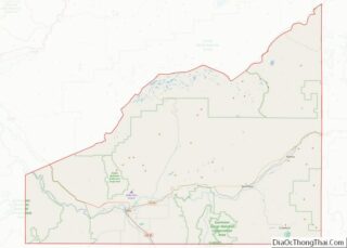
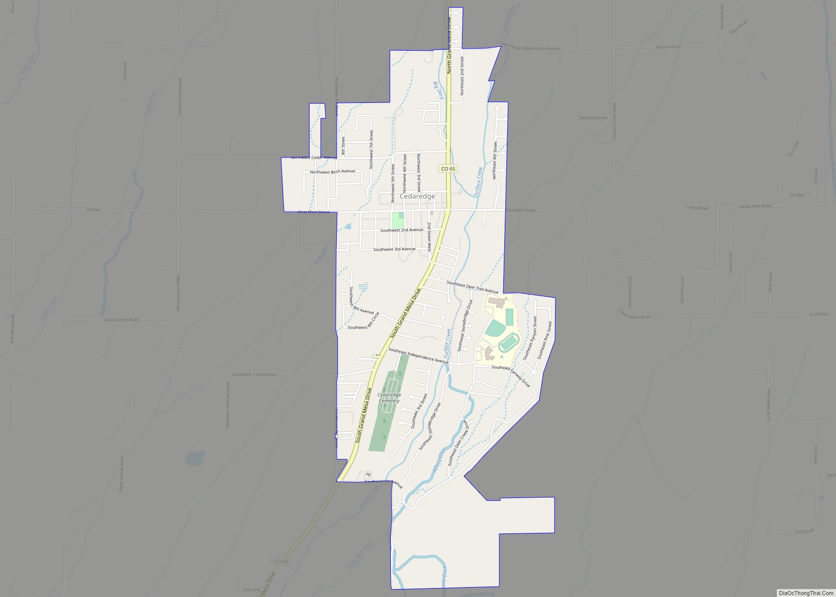
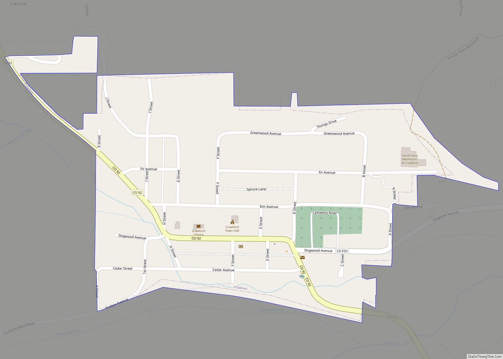
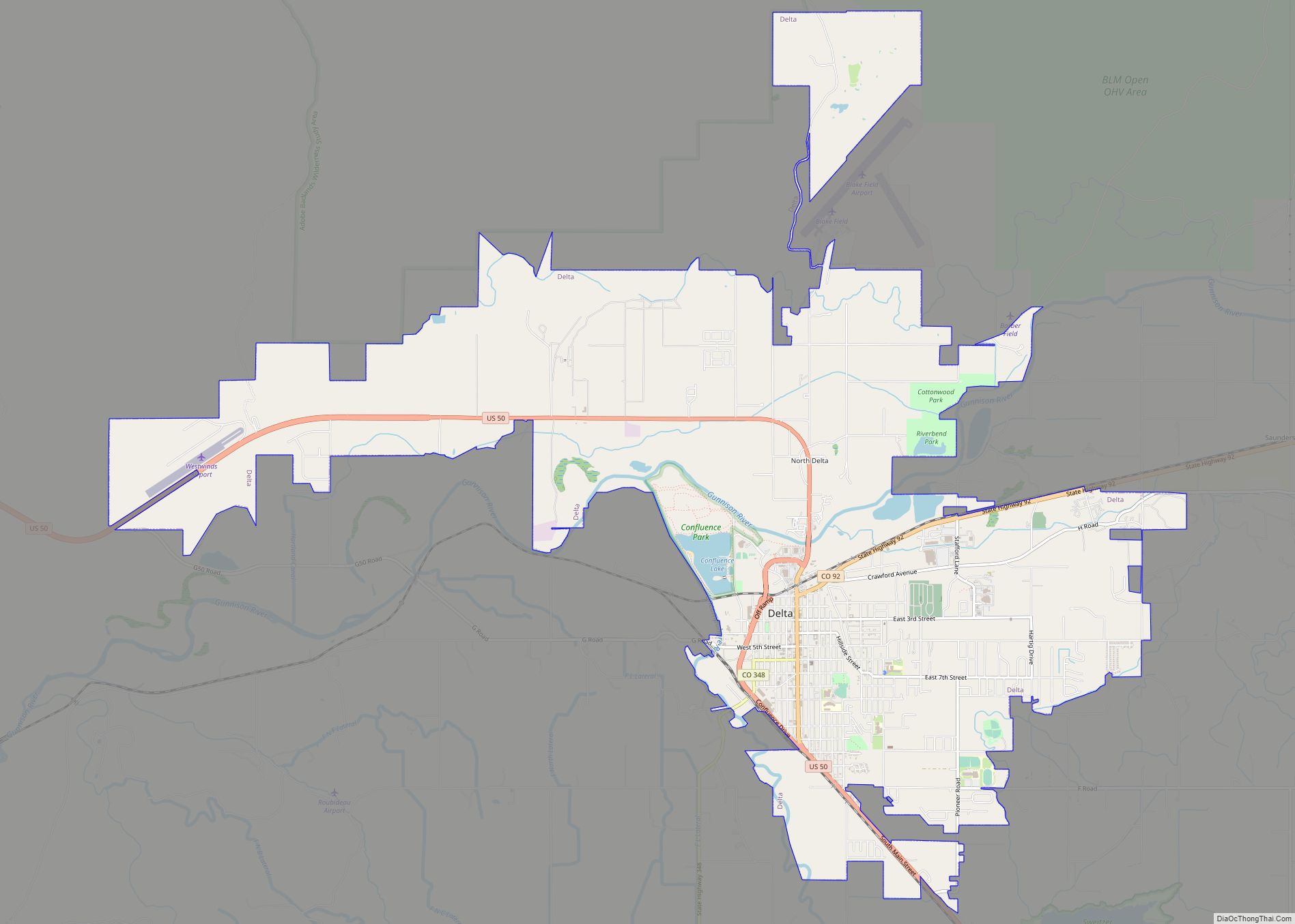
| County: | Delta County |
| Elevation: | 5,682 ft (1,732 m) |
| Total Area: | 0.82 sq mi (2.13 km²) |
| Land Area: | 0.82 sq mi (2.13 km²) |
| Water Area: | 0.00 sq mi (0.00 km²) |
| Total Population: | 1,447 |
| Population Density: | 1,800/sq mi (680/km²) |
| ZIP code: | 81428 |
| Area code: | 970 |
| FIPS code: | 0857300 |
| GNISfeature ID: | 0186589 |
| Website: | www.townofpaonia.com |
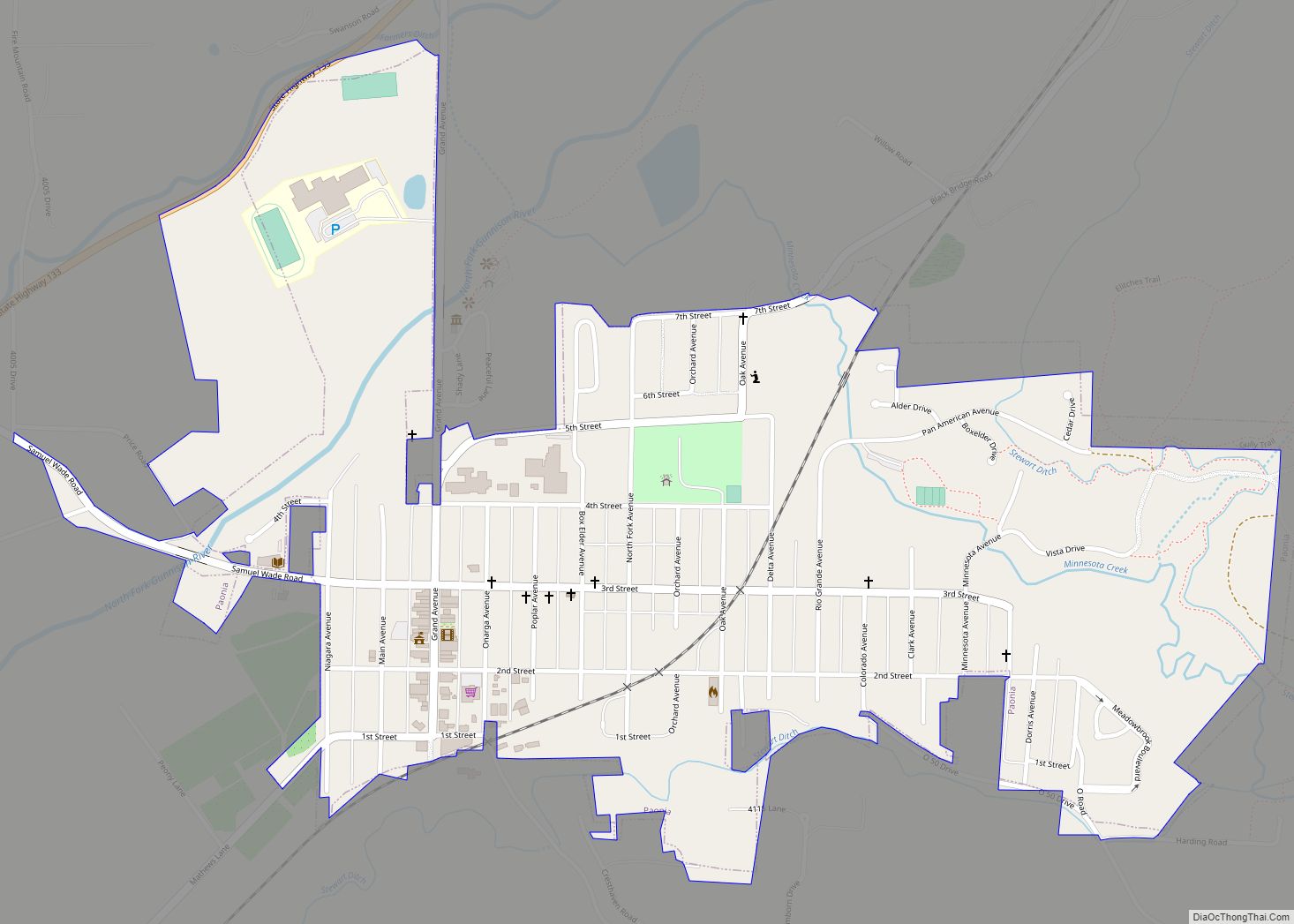
Online Interactive Map
Click on ![]() to view map in "full screen" mode.
to view map in "full screen" mode.
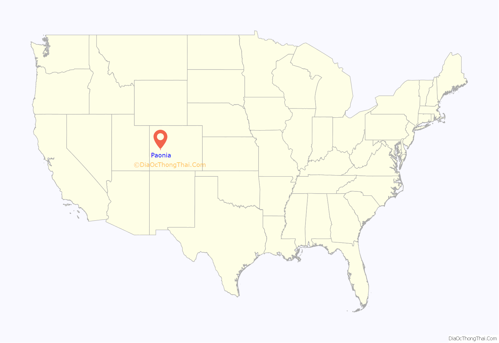
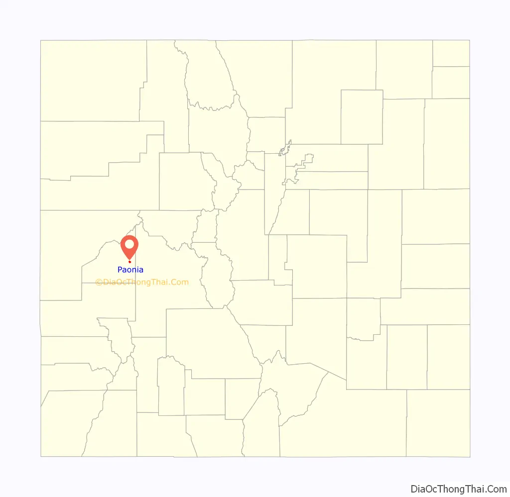
Paonia location map. Where is Paonia town?
History
The area was first explored in 1853 by Captain John W. Gunnison of the United States Army. Gunnison was on an expedition for the Corps of Topographical Engineers to locate a suitable pass through the Rocky Mountains.
The North Fork Valley was inhabited by the Ute people until 1880, when the Ute Indian Reservation was closed by the federal government following the infamous Meeker Massacre.
Following the closure of the reservation, the site was settled in 1880 by Samuel Wade and William Clark, who had accompanied Enos Hotchkiss to the area. The town was officially incorporated in 1902 and had its first election in July of that year. The peony roots that Samuel Wade brought with him to Colorado in 1881 inspired him to submit the Latin name for peony, Paeonia, as a town name. The post office would not allow the extra vowel, so “Paeonia” became “Paonia”. The full name of the flower is Paeonia mascula.
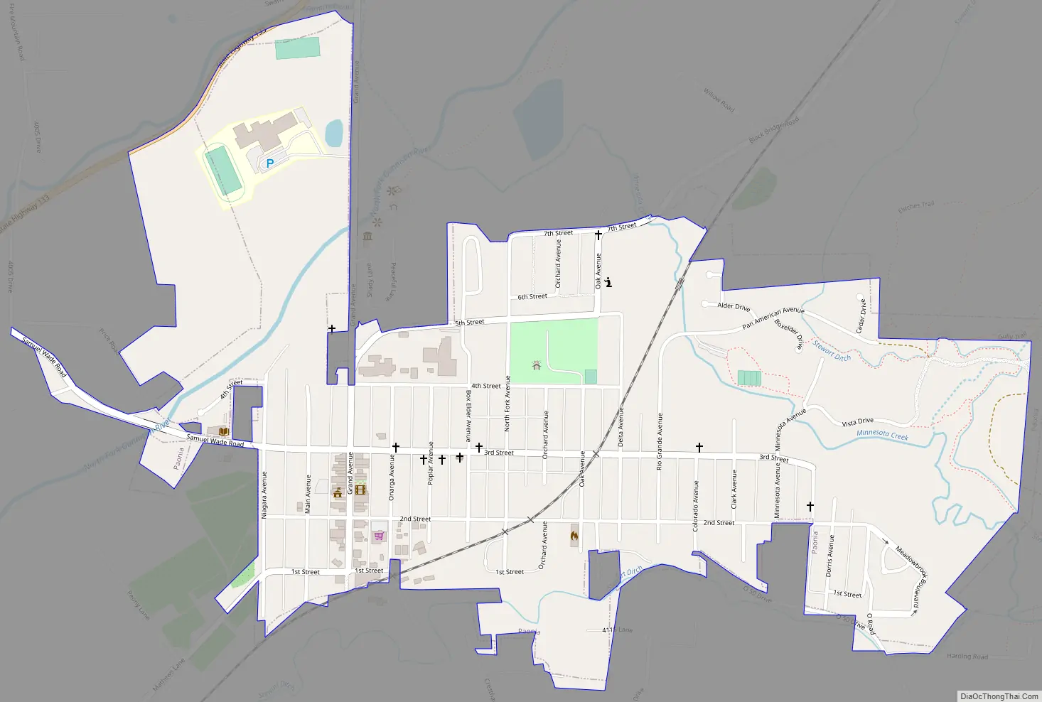
Paonia Road Map
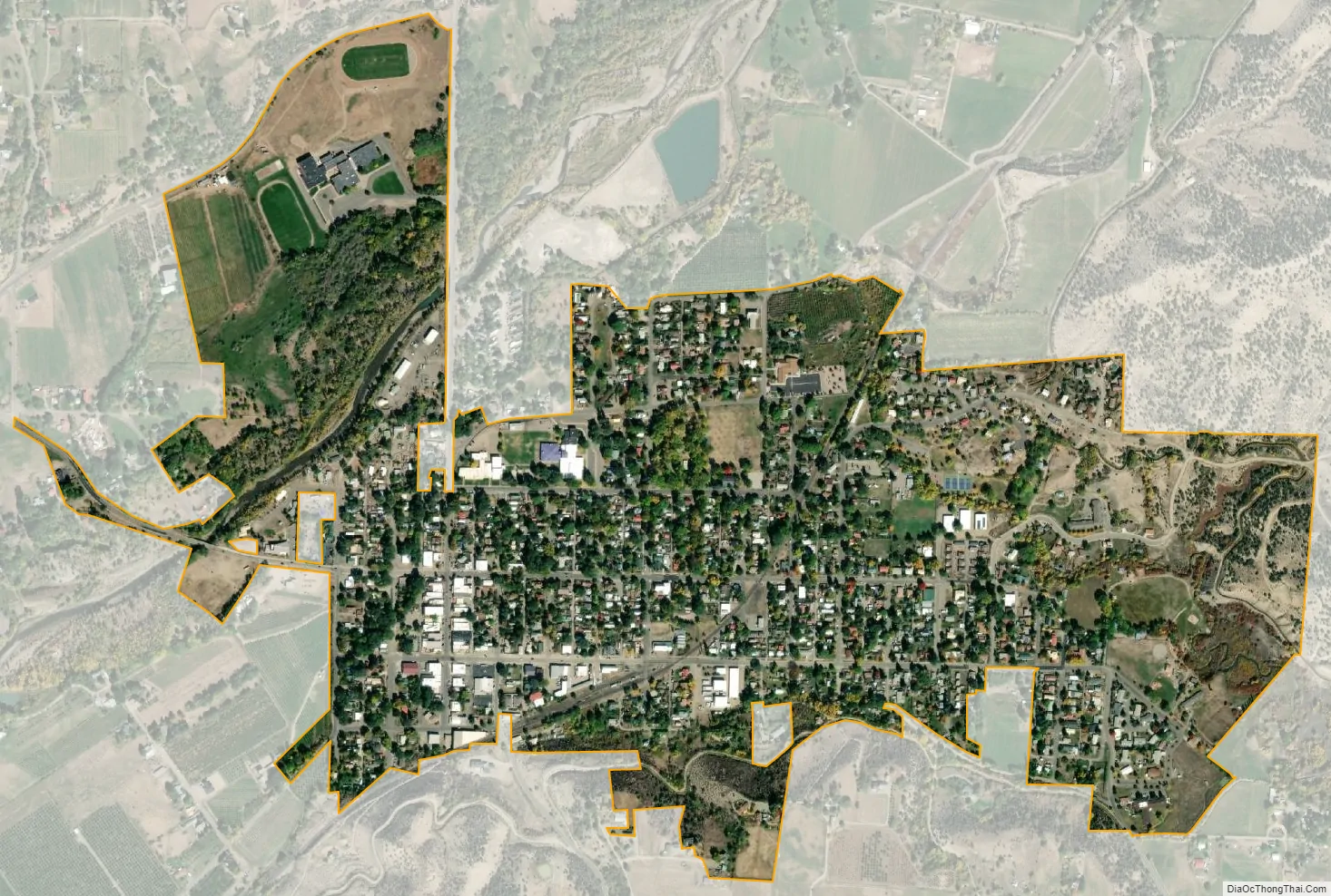
Paonia city Satellite Map
Geography
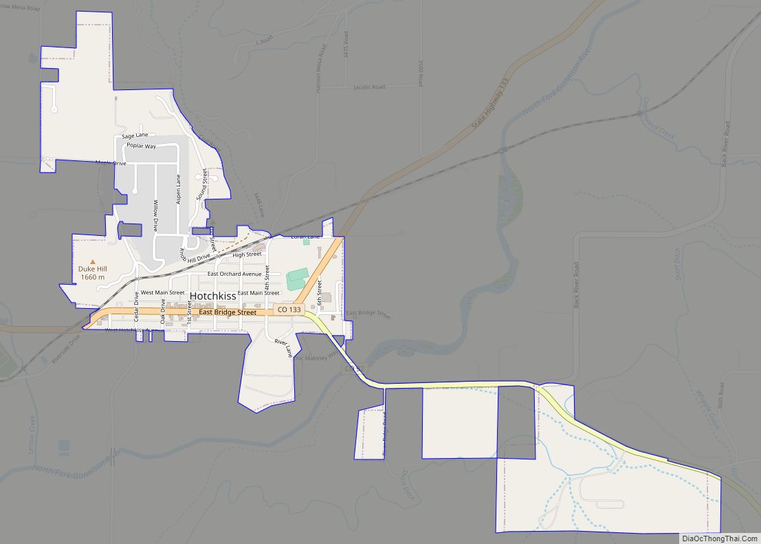
Paonia is located in eastern Delta County at 38°52′03″N 107°35′33″W / 38.867630°N 107.592579°W / 38.867630; -107.592579. It is situated on the North Fork Gunnison River (“North Fork River”), about 10 miles (16 km) northeast of (upstream from) neighboring Hotchkiss. It lies near the head of the North Fork Valley, an area about 150 miles (240 km) by air southwest of Denver. The valley lies at the foot of 11,396-foot (3,474 m) Mount Lamborn to the southeast and the Grand Mesa to the northwest.
Colorado State Highway 133 touches the northwest boundary of Paonia as the highway runs up the North Fork Valley; it leads southwest 9 miles (14 km) to Hotchkiss and northeast 58 miles (93 km) over McClure Pass to Carbondale.
According to the United States Census Bureau, the town of Paonia has a total area of 0.85 square miles (2.2 km), all of it land.
See also
Map of Colorado State and its subdivision:- Adams
- Alamosa
- Arapahoe
- Archuleta
- Baca
- Bent
- Boulder
- Broomfield
- Chaffee
- Cheyenne
- Clear Creek
- Conejos
- Costilla
- Crowley
- Custer
- Delta
- Denver
- Dolores
- Douglas
- Eagle
- El Paso
- Elbert
- Fremont
- Garfield
- Gilpin
- Grand
- Gunnison
- Hinsdale
- Huerfano
- Jackson
- Jefferson
- Kiowa
- Kit Carson
- La Plata
- Lake
- Larimer
- Las Animas
- Lincoln
- Logan
- Mesa
- Mineral
- Moffat
- Montezuma
- Montrose
- Morgan
- Otero
- Ouray
- Park
- Phillips
- Pitkin
- Prowers
- Pueblo
- Rio Blanco
- Rio Grande
- Routt
- Saguache
- San Juan
- San Miguel
- Sedgwick
- Summit
- Teller
- Washington
- Weld
- Yuma
- Alabama
- Alaska
- Arizona
- Arkansas
- California
- Colorado
- Connecticut
- Delaware
- District of Columbia
- Florida
- Georgia
- Hawaii
- Idaho
- Illinois
- Indiana
- Iowa
- Kansas
- Kentucky
- Louisiana
- Maine
- Maryland
- Massachusetts
- Michigan
- Minnesota
- Mississippi
- Missouri
- Montana
- Nebraska
- Nevada
- New Hampshire
- New Jersey
- New Mexico
- New York
- North Carolina
- North Dakota
- Ohio
- Oklahoma
- Oregon
- Pennsylvania
- Rhode Island
- South Carolina
- South Dakota
- Tennessee
- Texas
- Utah
- Vermont
- Virginia
- Washington
- West Virginia
- Wisconsin
- Wyoming