Dotsero is an unincorporated community and a census-designated place (CDP) located in and governed by Eagle County, Colorado, United States. The CDP is a part of the Edwards, CO Micropolitan Statistical Area. The population of the Dotsero CDP was 1,172 at the United States Census 2020. The Gypsum post office (Zip Code 81637) serves the area.
| Name: | Dotsero CDP |
|---|---|
| LSAD Code: | 57 |
| LSAD Description: | CDP (suffix) |
| State: | Colorado |
| County: | Eagle County |
| Elevation: | 6,142 ft (1,872 m) |
| Total Area: | 1.551 sq mi (4.017 km²) |
| Land Area: | 1.356 sq mi (3.511 km²) |
| Water Area: | 0.195 sq mi (0.506 km²) |
| Total Population: | 1,172 |
| Population Density: | 760/sq mi (290/km²) |
| ZIP code: | Gypsum 81637 |
| Area code: | 970 |
| FIPS code: | 0821155 |
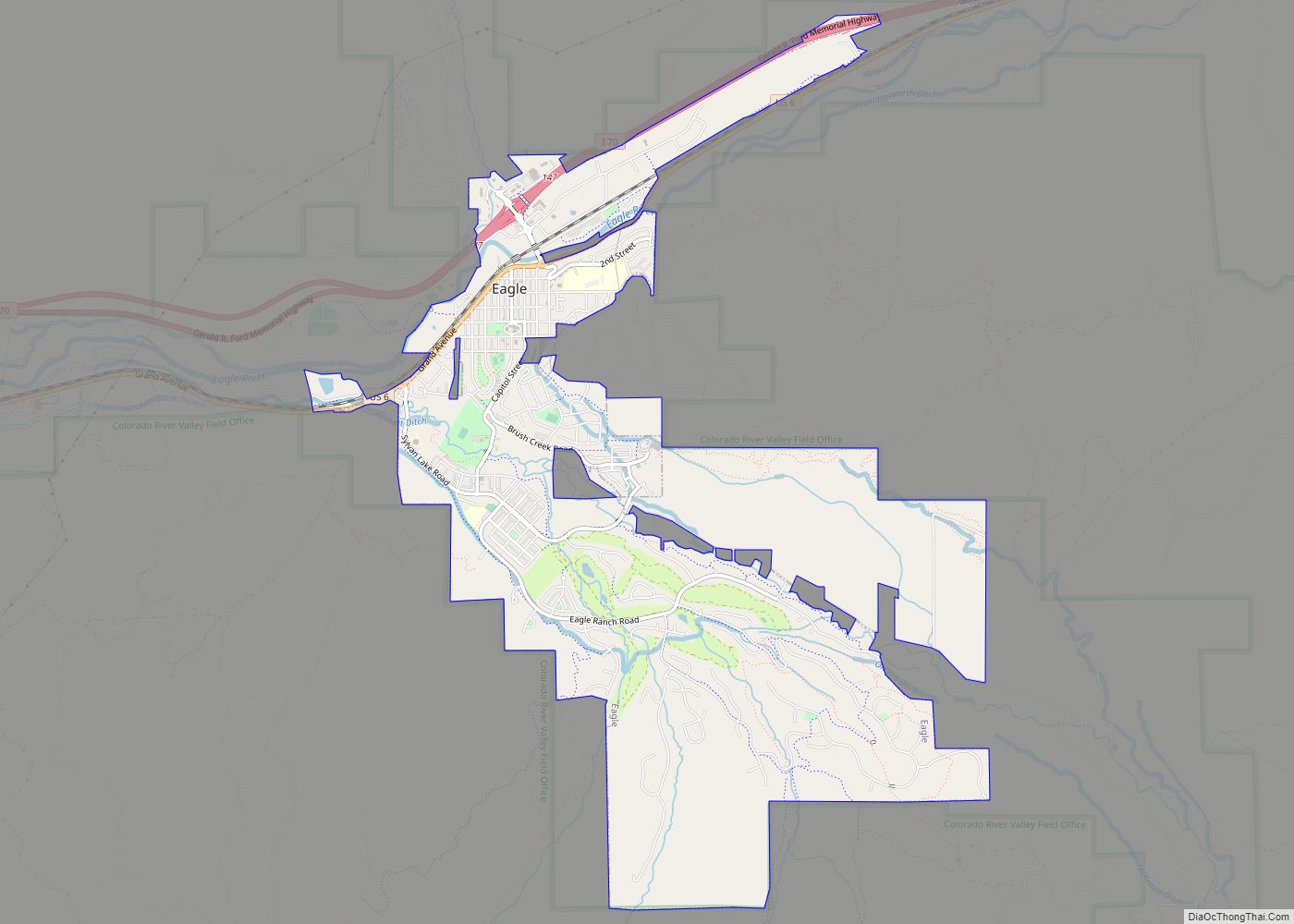
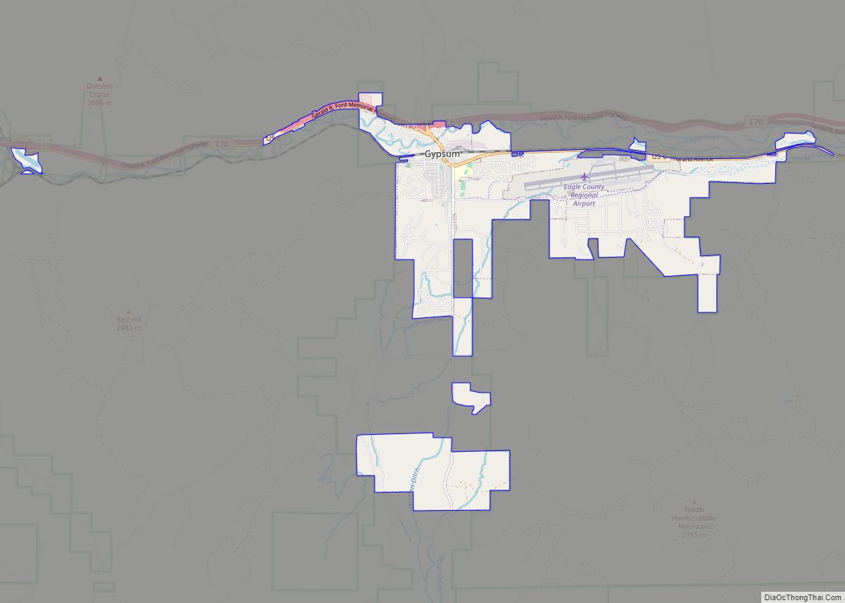
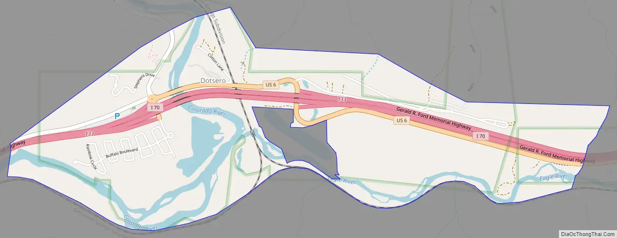
Online Interactive Map
Click on ![]() to view map in "full screen" mode.
to view map in "full screen" mode.
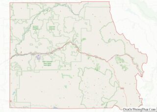
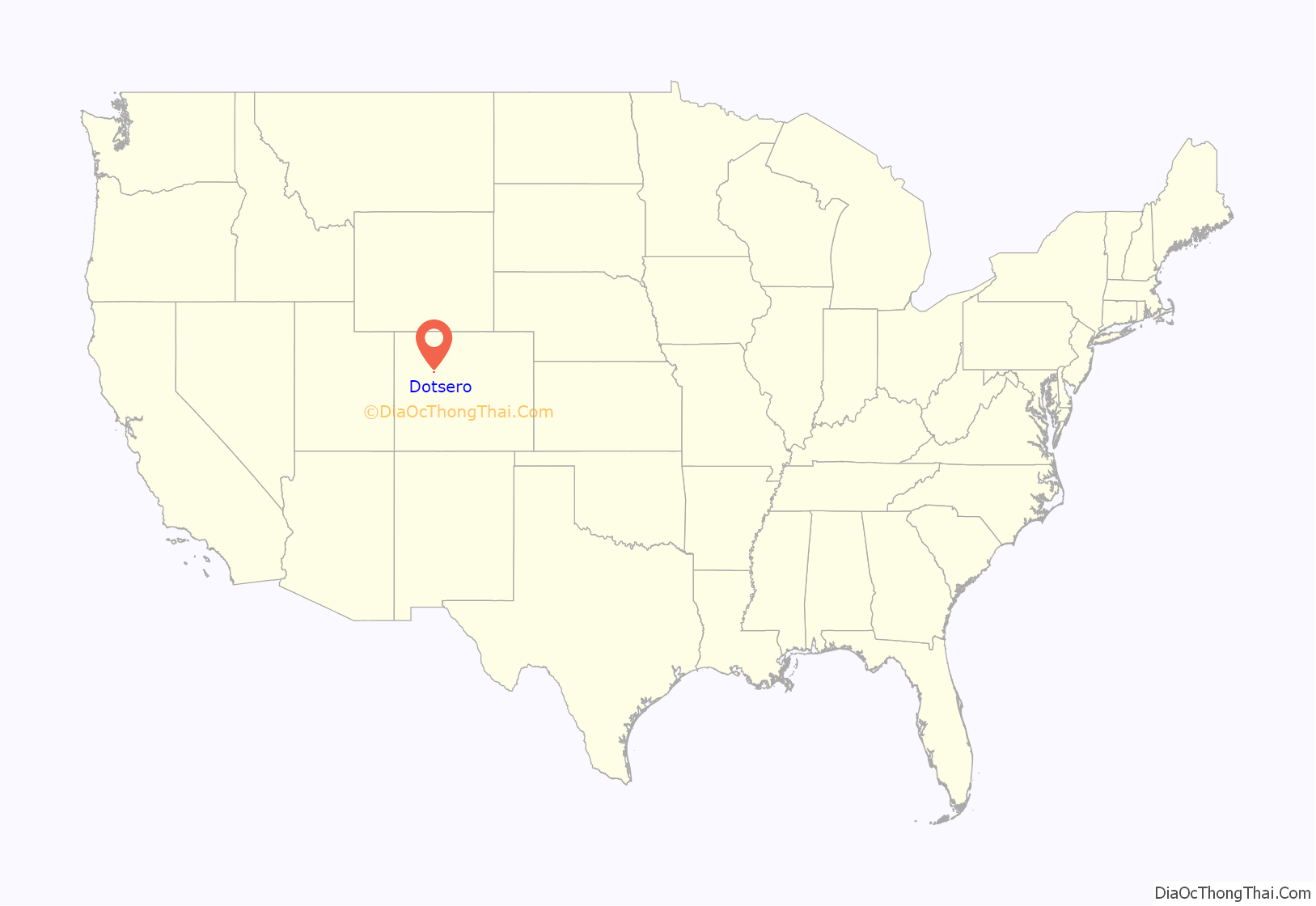
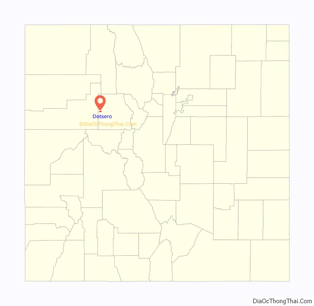
Dotsero location map. Where is Dotsero CDP?
History
Denver and Rio Grande Western Railroad
Dotsero was an important railroad junction point for the Denver and Rio Grande Western Railroad’s Denver to Salt Lake City line. Originally the line passed through Dotsero following the Eagle River towards Tennessee Pass and through the Royal Gorge of the Arkansas River en route to Pueblo, Colorado before turning north towards Denver. Through the years, efforts were made to have a more direct connection between Denver and Salt Lake that did not require detouring through Pueblo. The Denver and Salt Lake Railroad (D&SL) built a line west from Denver and entered the Colorado River canyon near Bond, Colorado, about 40 miles (64 km) Northeast of Dotsero. The D&SL was never finished as a separate route to Salt Lake City; however, it was eventually acquired by the D&RGW, who built a connection between Dotsero and Orestod (Dotsero spelled backwards) near Bond. This connection, commonly known as the Dotsero Cutoff, was completed on June 15, 1934 and finally provided Denver with a direct link to Salt Lake City, making Dotsero the junction between the old and new routes to Denver. After completion the old route over Tennessee pass remained in use as a secondary route, but has been dormant since 1997.
Ferdinand Hayden published an extensive survey of central and southwest Colorado in 1877, and used the location of the town of Dotsero as his “Dot Zero” (reference point) for his survey maps. The station name exists from the construction of the standard gauge railroad line to Glenwood Springs in the 1890s.
Dotsero Road Map
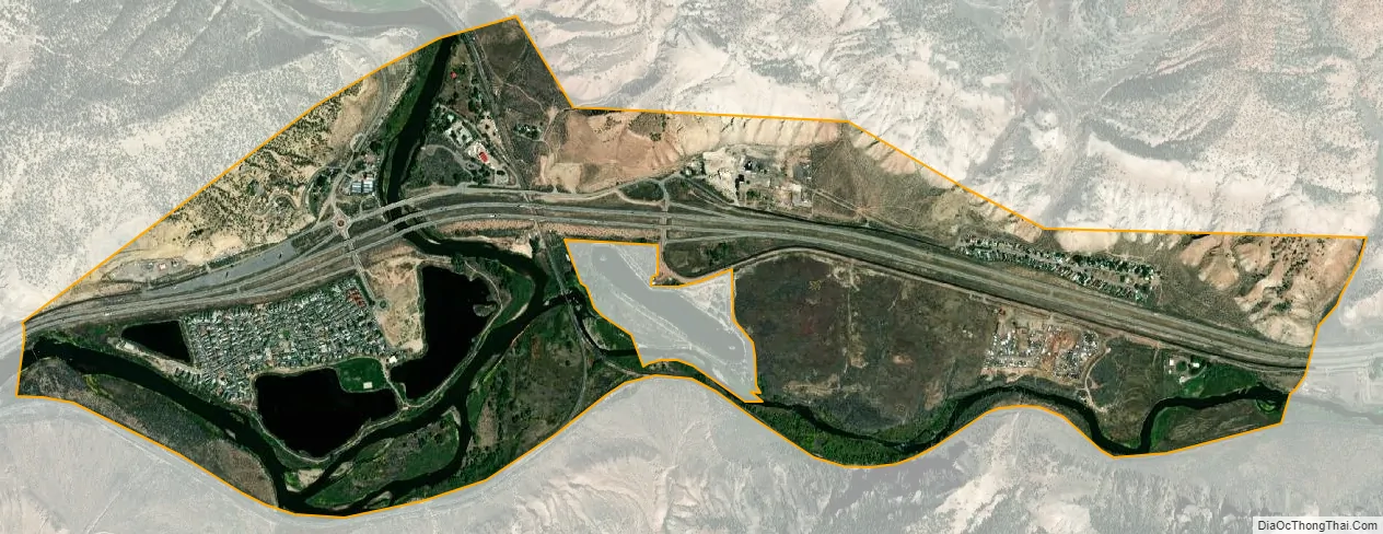
Dotsero city Satellite Map
Geography
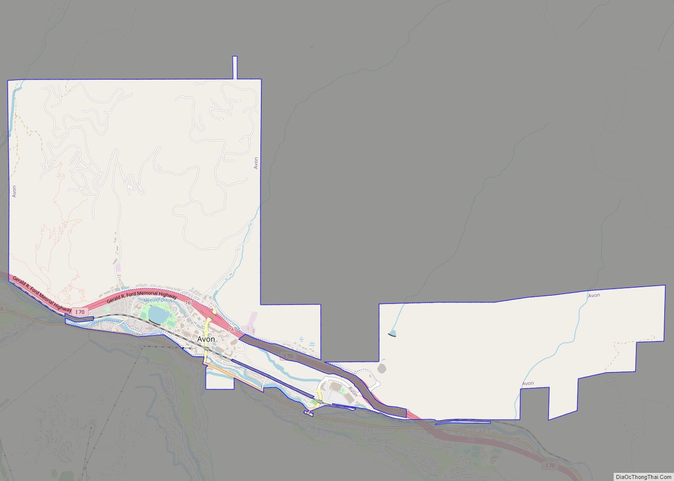
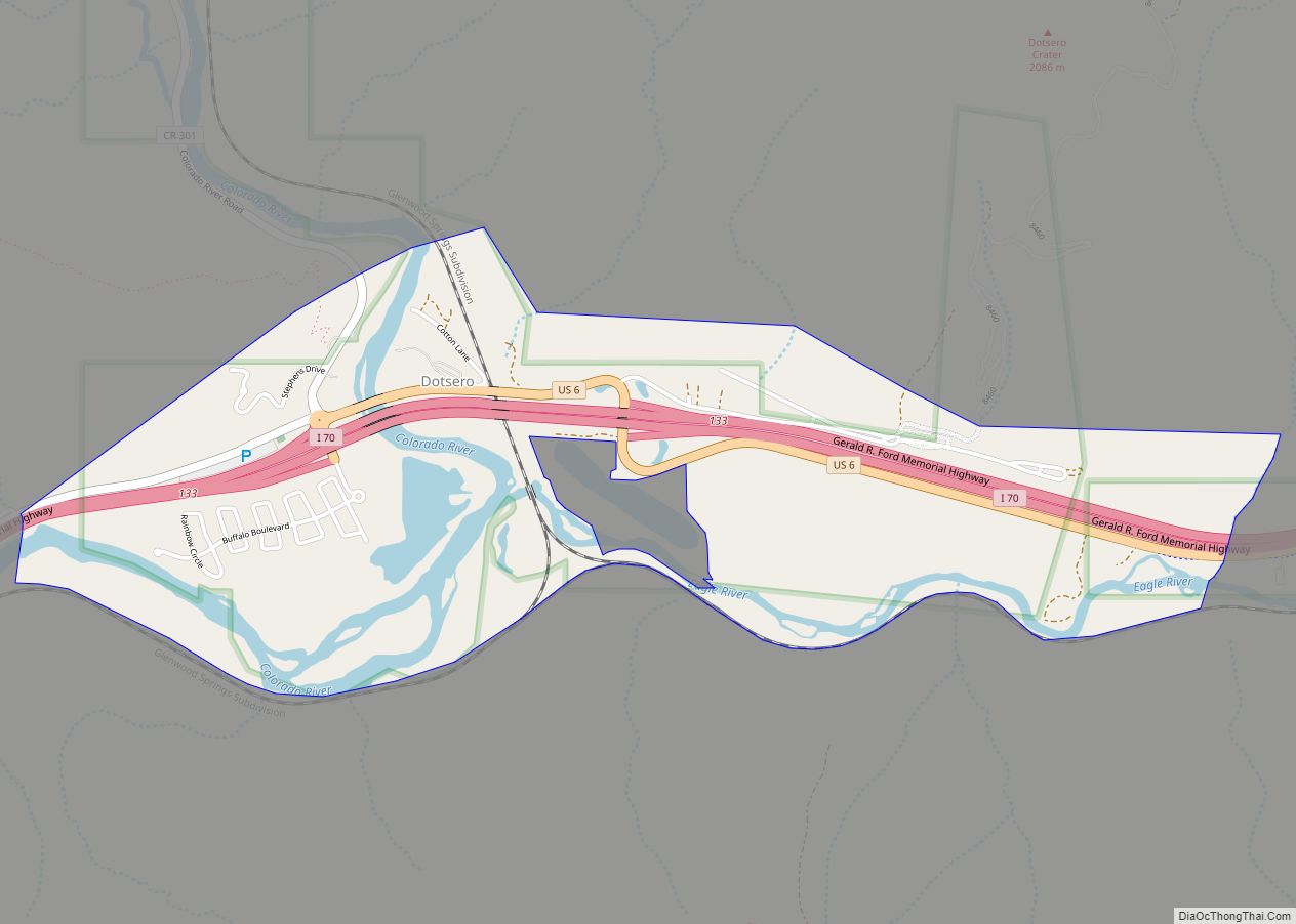
Dotsero is located at the confluence of the Eagle River with the Colorado River, along U.S. Highway 6 and Interstate 70, near the head of Glenwood Canyon, approximately 5 miles (8 km) west of Gypsum.
The Dotsero CDP has an area of 993 acres (4.017 km), including 125 acres (0.506 km) of water.
Dotsero Volcano
Dotsero is built at the base of Colorado’s most recently active volcano, the Dotsero Volcano, which, according to the United States Geological Survey, erupted 4,140 years ago. The volcano is still classified as active by the USGS and is the only active volcano within Colorado.
The main industry at Dotsero for years consisted of making cinderblocks from the volcano.
See also
Map of Colorado State and its subdivision:- Adams
- Alamosa
- Arapahoe
- Archuleta
- Baca
- Bent
- Boulder
- Broomfield
- Chaffee
- Cheyenne
- Clear Creek
- Conejos
- Costilla
- Crowley
- Custer
- Delta
- Denver
- Dolores
- Douglas
- Eagle
- El Paso
- Elbert
- Fremont
- Garfield
- Gilpin
- Grand
- Gunnison
- Hinsdale
- Huerfano
- Jackson
- Jefferson
- Kiowa
- Kit Carson
- La Plata
- Lake
- Larimer
- Las Animas
- Lincoln
- Logan
- Mesa
- Mineral
- Moffat
- Montezuma
- Montrose
- Morgan
- Otero
- Ouray
- Park
- Phillips
- Pitkin
- Prowers
- Pueblo
- Rio Blanco
- Rio Grande
- Routt
- Saguache
- San Juan
- San Miguel
- Sedgwick
- Summit
- Teller
- Washington
- Weld
- Yuma
- Alabama
- Alaska
- Arizona
- Arkansas
- California
- Colorado
- Connecticut
- Delaware
- District of Columbia
- Florida
- Georgia
- Hawaii
- Idaho
- Illinois
- Indiana
- Iowa
- Kansas
- Kentucky
- Louisiana
- Maine
- Maryland
- Massachusetts
- Michigan
- Minnesota
- Mississippi
- Missouri
- Montana
- Nebraska
- Nevada
- New Hampshire
- New Jersey
- New Mexico
- New York
- North Carolina
- North Dakota
- Ohio
- Oklahoma
- Oregon
- Pennsylvania
- Rhode Island
- South Carolina
- South Dakota
- Tennessee
- Texas
- Utah
- Vermont
- Virginia
- Washington
- West Virginia
- Wisconsin
- Wyoming