The historic Town of Fairplay is the Statutory Town that is the county seat and the most populous municipality of Park County, Colorado, United States. The town population was 724 at the 2020 United States Census. Fairplay is located in South Park at an elevation of 9,953 feet (3,034 m). The town is the fifth-highest incorporated place in the State of Colorado. Fairplay is now a part of the Denver–Aurora–Lakewood, CO Metropolitan Statistical Area and the Front Range Urban Corridor.
| Name: | Fairplay town |
|---|---|
| LSAD Code: | 43 |
| LSAD Description: | town (suffix) |
| State: | Colorado |
| County: | Park County |
| Incorporated: | November 15, 1872 |
| Elevation: | 9,953 ft (3,034 m) |
| Total Area: | 1.156 sq mi (2.995 km²) |
| Land Area: | 1.147 sq mi (2.971 km²) |
| Water Area: | 0.009 sq mi (0.024 km²) |
| Total Population: | 724 |
| Population Density: | 631/sq mi (244/km²) |
| ZIP code: | 80440 & 80456, 80432 (PO Box) |
| Area code: | 719 |
| FIPS code: | 0825610 |
| Website: | fairplayco.us |
Online Interactive Map
Click on ![]() to view map in "full screen" mode.
to view map in "full screen" mode.
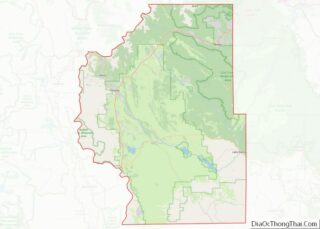
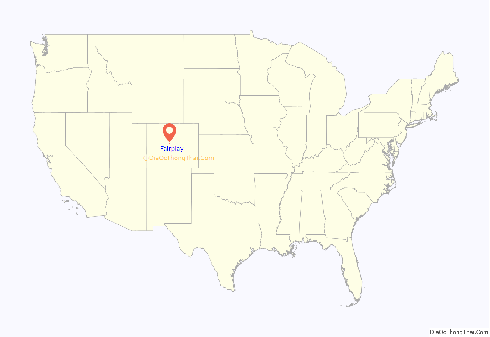
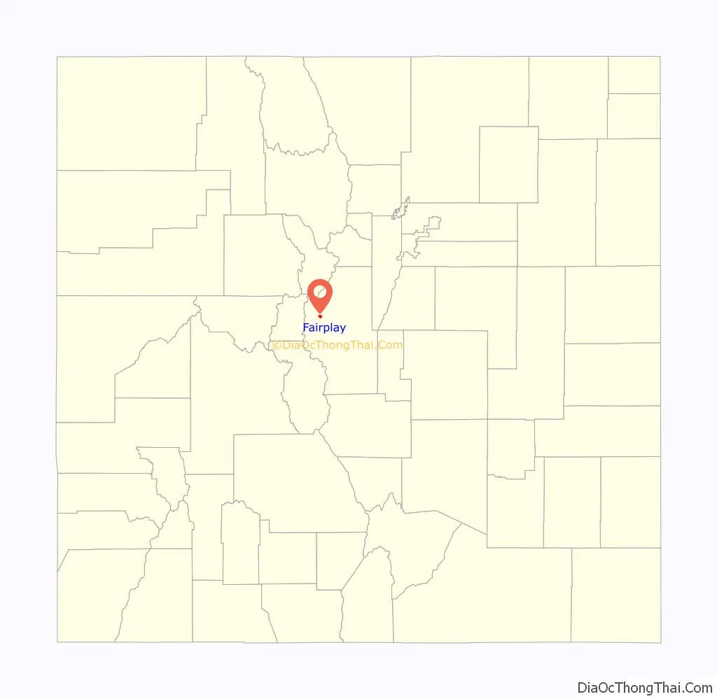
Fairplay location map. Where is Fairplay town?
History
A historic gold mining settlement, the town was founded in 1859 during the early days of the Pike’s Peak Gold Rush. The town was named by settlers who were upset by the generous mining claims given to the earliest prospectors and promised a more equitable system for its residents. The town of Fairplay was incorporated in 1872.
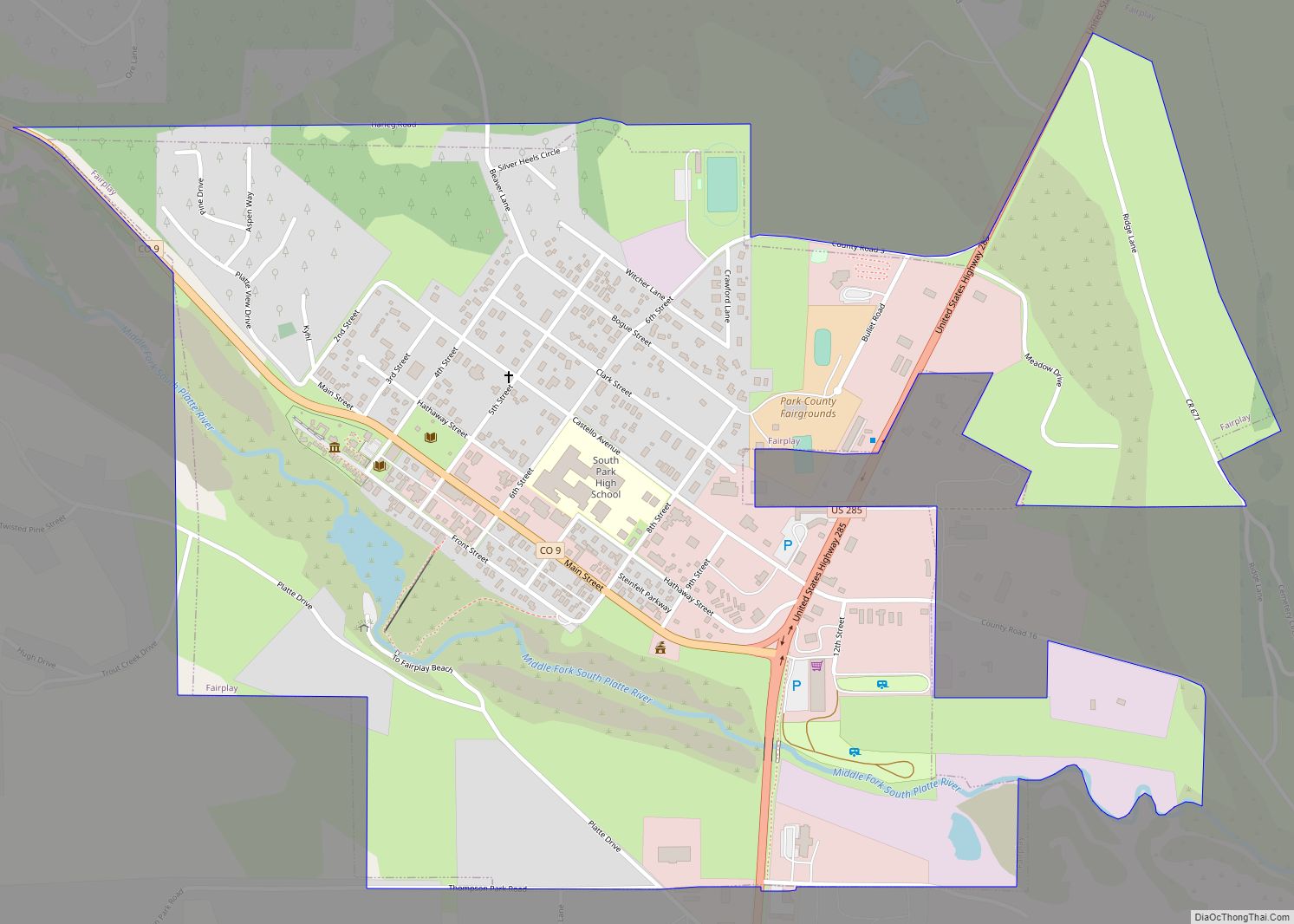
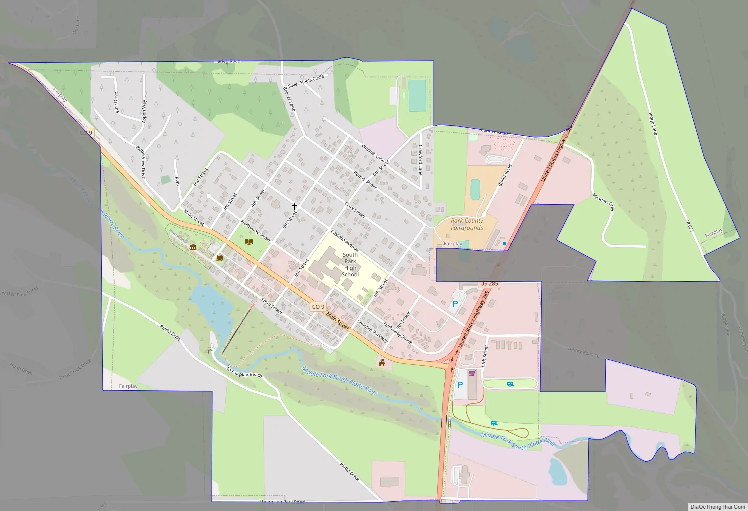
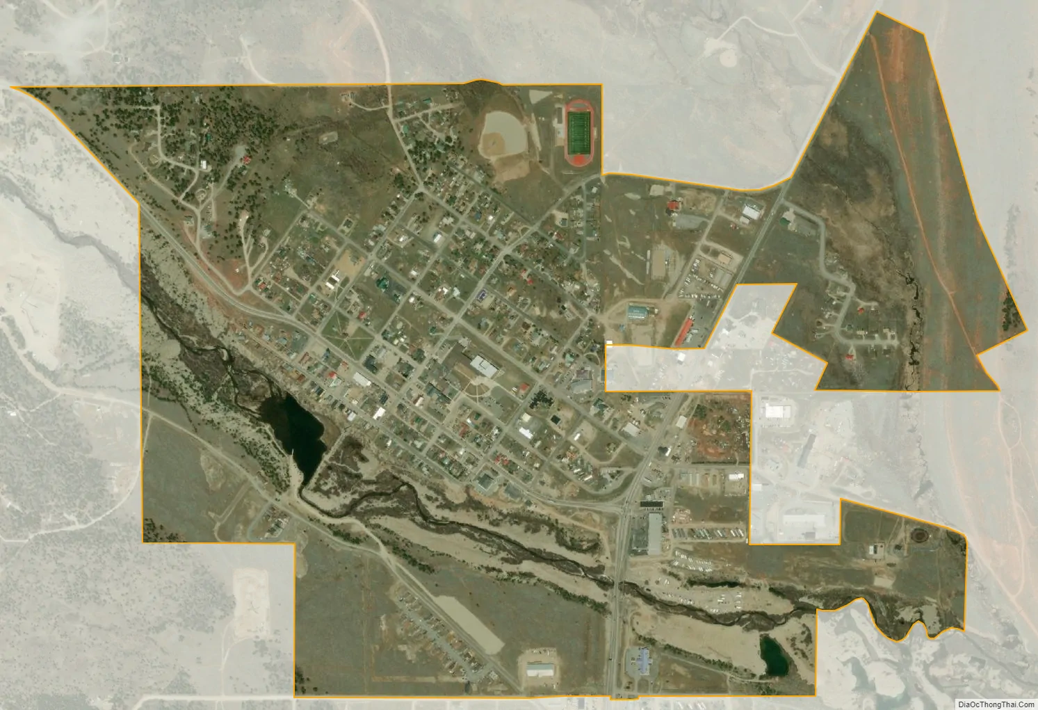
It is the largest community in the grassland basin of Colorado known as South Park, sitting on the west edge of the basin at the junction of U.S. Highway 285 and State Highway 9. It is on a hillside just east of the Middle Fork South Platte River, near where Highway 9 ascends the river valley northward to Alma and Hoosier Pass. It is a quiet town, and the roads surrounding it have a low volume of traffic. Although it was founded during the initial placer mining boom, the mines in the area continued to produce gold and silver ore for many decades up through the middle of the 20th century.
The town consists of modern retail businesses along the highway, as well as a historic town on the bluff above the river along Front Street. The northern extension of Front Street along the river has been preserved and has become the site of relocated historic structures as an open-air museum called South Park City, intended to recreate the early days of the Colorado Gold Rush. Most of the residences in town are located on the hillside west of US Highway 285 and east of State Highway 9, in the vicinity of the schools and Park County Courthouse. The majority of the streets in town were finally paved in 2005.
The Town of Fairplay is the visual basis for the Town of South Park in the television series South Park. The people in the show are influenced by Boulder, Colorado, where creators Matt Stone and Trey Parker attended college at the University of Colorado.
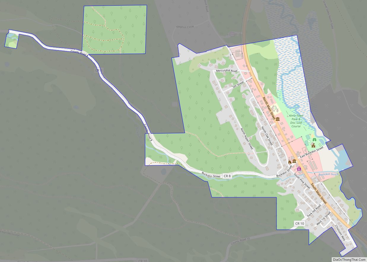
Fairplay Road Map
Fairplay city Satellite Map
Geography
As of the 2020 United States Census, the town had a total area of 740 acres (2.995 km) including 5.9 acres (0.024 km) of water.
Climate
Fairplay has a subarctic or subalpine climate (Koppen: Dfc) given its elevation, with short cool summers, and long, windy, cold winters. Temperature ranges between day and night are large, due to the high elevation, low cloud cover, and dryness of the air.
See also
Map of Colorado State and its subdivision:- Adams
- Alamosa
- Arapahoe
- Archuleta
- Baca
- Bent
- Boulder
- Broomfield
- Chaffee
- Cheyenne
- Clear Creek
- Conejos
- Costilla
- Crowley
- Custer
- Delta
- Denver
- Dolores
- Douglas
- Eagle
- El Paso
- Elbert
- Fremont
- Garfield
- Gilpin
- Grand
- Gunnison
- Hinsdale
- Huerfano
- Jackson
- Jefferson
- Kiowa
- Kit Carson
- La Plata
- Lake
- Larimer
- Las Animas
- Lincoln
- Logan
- Mesa
- Mineral
- Moffat
- Montezuma
- Montrose
- Morgan
- Otero
- Ouray
- Park
- Phillips
- Pitkin
- Prowers
- Pueblo
- Rio Blanco
- Rio Grande
- Routt
- Saguache
- San Juan
- San Miguel
- Sedgwick
- Summit
- Teller
- Washington
- Weld
- Yuma
- Alabama
- Alaska
- Arizona
- Arkansas
- California
- Colorado
- Connecticut
- Delaware
- District of Columbia
- Florida
- Georgia
- Hawaii
- Idaho
- Illinois
- Indiana
- Iowa
- Kansas
- Kentucky
- Louisiana
- Maine
- Maryland
- Massachusetts
- Michigan
- Minnesota
- Mississippi
- Missouri
- Montana
- Nebraska
- Nevada
- New Hampshire
- New Jersey
- New Mexico
- New York
- North Carolina
- North Dakota
- Ohio
- Oklahoma
- Oregon
- Pennsylvania
- Rhode Island
- South Carolina
- South Dakota
- Tennessee
- Texas
- Utah
- Vermont
- Virginia
- Washington
- West Virginia
- Wisconsin
- Wyoming