Guffey is a census-designated place (CDP) and post office in and governed by Park County, Colorado, United States. The Guffey post office has the ZIP Code 80820. At the United States Census 2020, the population of the Guffey CDP was 111. The CDP is a part of the Denver–Aurora–Lakewood, CO Metropolitan Statistical Area.
| Name: | Guffey CDP |
|---|---|
| LSAD Code: | 57 |
| LSAD Description: | CDP (suffix) |
| State: | Colorado |
| County: | Park County |
| Elevation: | 8,891 ft (2,710 m) |
| Total Area: | 8.695 sq mi (22.519 km²) |
| Land Area: | 8.674 sq mi (22.466 km²) |
| Water Area: | 0.020 sq mi (0.053 km²) |
| Total Population: | 111 |
| Population Density: | 13/sq mi (4.9/km²) |
| ZIP code: | 80820 |
| Area code: | 719 |
| FIPS code: | 0833420 |
Online Interactive Map
Click on ![]() to view map in "full screen" mode.
to view map in "full screen" mode.
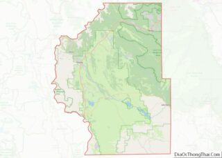
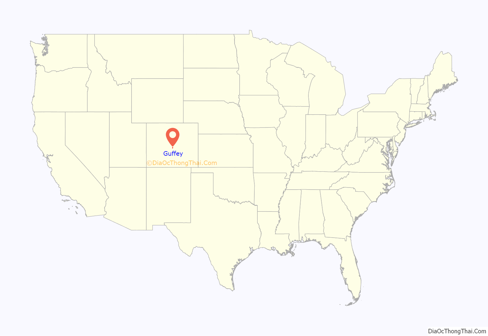
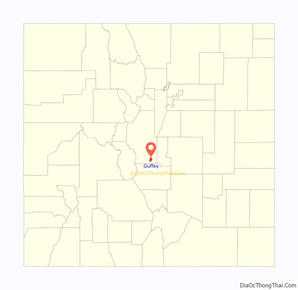
Guffey location map. Where is Guffey CDP?
History
The town was once called Freshwater, and was the center of activity for the Freshwater Mining District, a minor producer of copper, lead, zinc, mica, feldspar, and other minerals, including traces of gold and silver. Activity and population peaked between the years 1895 and 1902, with over 500 residents and 40 businesses in the town. Cattle ranching and lumber operations supplemented the mining activity. The town was also known for its dances and fiddlers.
In January 2001, the bodies of three members of the Dutcher family were found near Guffey; all had been murdered. Three teenagers were convicted of the crime. The boys had formed a group that took on aspects of a paramilitary organization, and one of them claimed that the murders were part of a plan to fight insurrection in the country of Guyana. The brutal nature of the crime and its bizarre motive attracted national attention.
The town has a cat named “Monster” as its unofficial Mayor. The town is perhaps less famous for its annual Fourth of July Chicken Fly, a tradition which lasted for twenty-six years, but ending in 2016. At the chicken-fly, small chickens were released from a velvet-lined mailbox atop a ten-foot-high (3.04 m) platform; prizes were awarded for those chickens that flew the greatest distance.
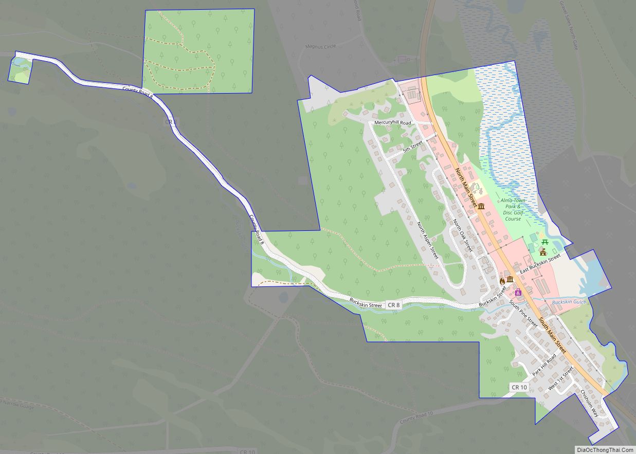
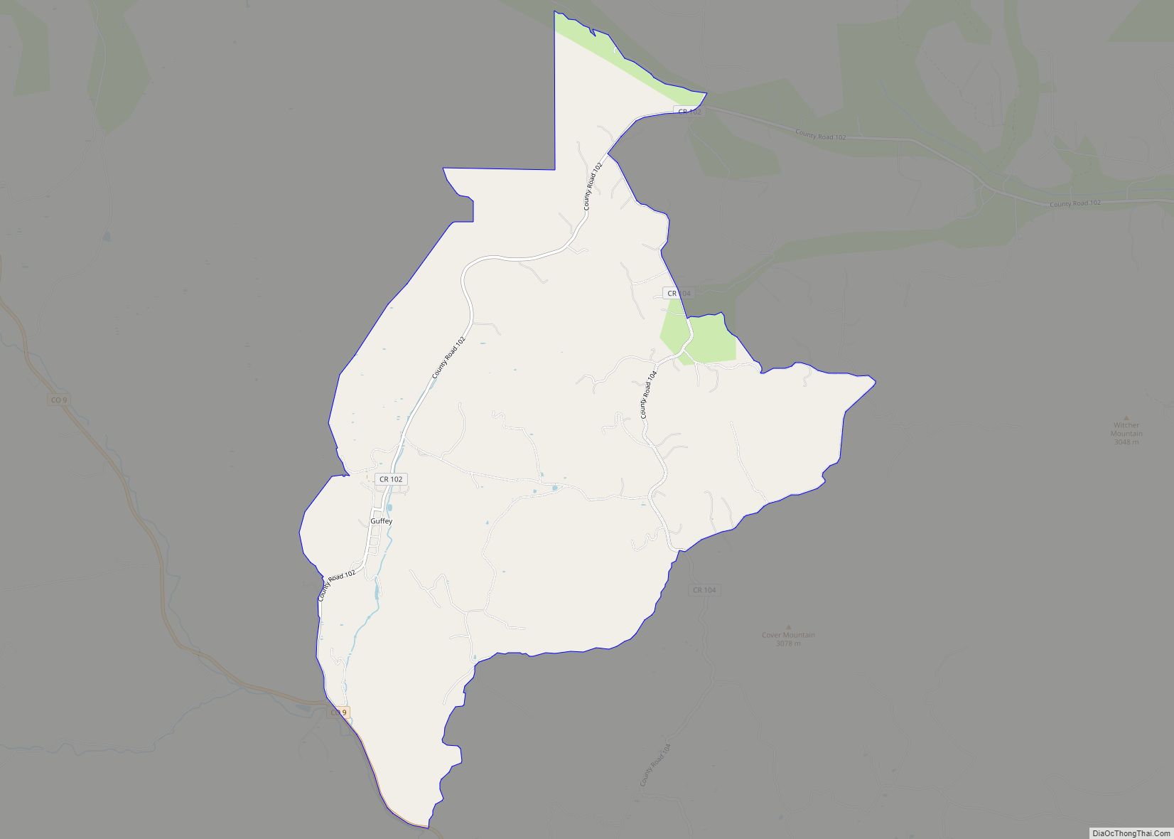
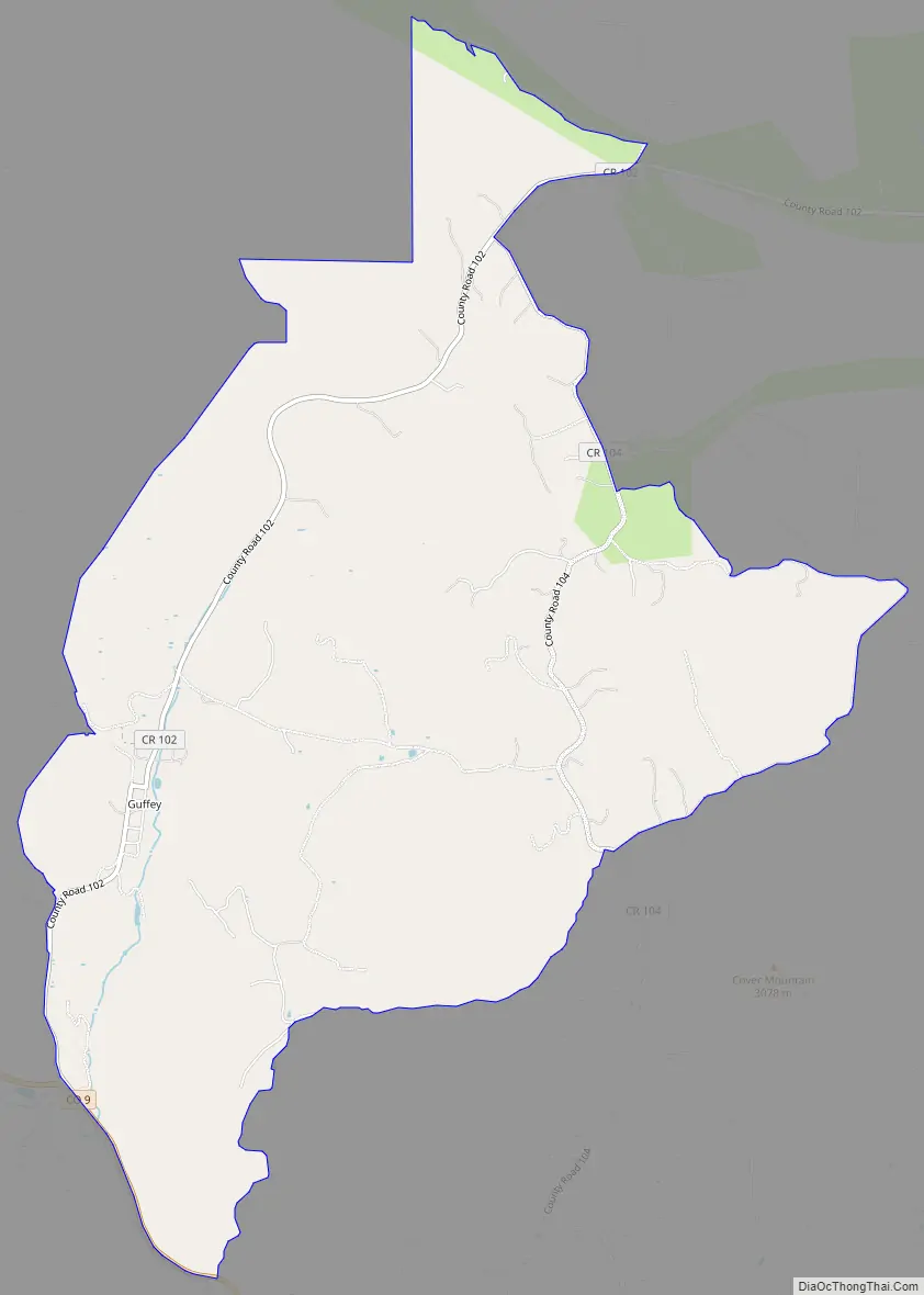
Guffey Road Map
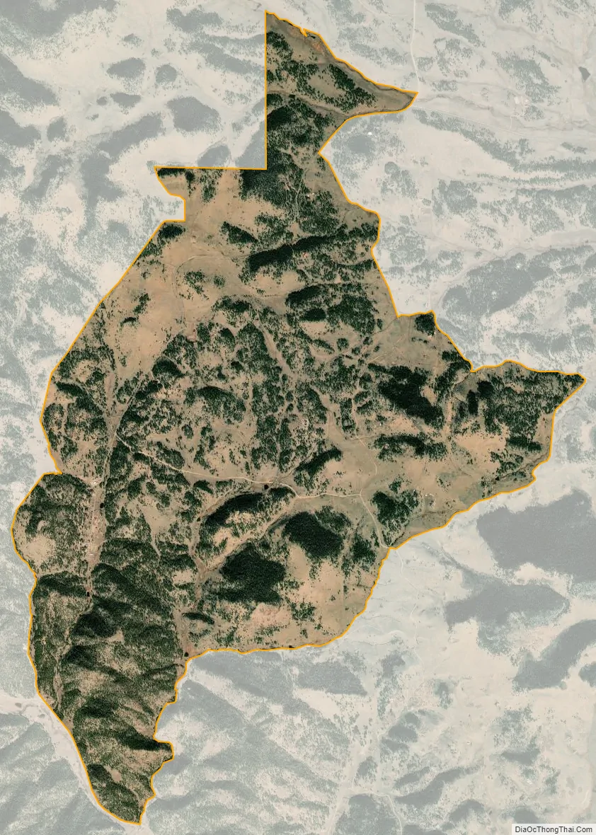
Guffey city Satellite Map
Geography
Guffey is located about one mile north of State Highway 9 on County Road 102, southeast of South Park. Freshwater Creek flows past the east side of the community.
The Guffey CDP has an area of 5,565 acres (22.519 km), including 13 acres (0.053 km) of water.
See also
Map of Colorado State and its subdivision:- Adams
- Alamosa
- Arapahoe
- Archuleta
- Baca
- Bent
- Boulder
- Broomfield
- Chaffee
- Cheyenne
- Clear Creek
- Conejos
- Costilla
- Crowley
- Custer
- Delta
- Denver
- Dolores
- Douglas
- Eagle
- El Paso
- Elbert
- Fremont
- Garfield
- Gilpin
- Grand
- Gunnison
- Hinsdale
- Huerfano
- Jackson
- Jefferson
- Kiowa
- Kit Carson
- La Plata
- Lake
- Larimer
- Las Animas
- Lincoln
- Logan
- Mesa
- Mineral
- Moffat
- Montezuma
- Montrose
- Morgan
- Otero
- Ouray
- Park
- Phillips
- Pitkin
- Prowers
- Pueblo
- Rio Blanco
- Rio Grande
- Routt
- Saguache
- San Juan
- San Miguel
- Sedgwick
- Summit
- Teller
- Washington
- Weld
- Yuma
- Alabama
- Alaska
- Arizona
- Arkansas
- California
- Colorado
- Connecticut
- Delaware
- District of Columbia
- Florida
- Georgia
- Hawaii
- Idaho
- Illinois
- Indiana
- Iowa
- Kansas
- Kentucky
- Louisiana
- Maine
- Maryland
- Massachusetts
- Michigan
- Minnesota
- Mississippi
- Missouri
- Montana
- Nebraska
- Nevada
- New Hampshire
- New Jersey
- New Mexico
- New York
- North Carolina
- North Dakota
- Ohio
- Oklahoma
- Oregon
- Pennsylvania
- Rhode Island
- South Carolina
- South Dakota
- Tennessee
- Texas
- Utah
- Vermont
- Virginia
- Washington
- West Virginia
- Wisconsin
- Wyoming