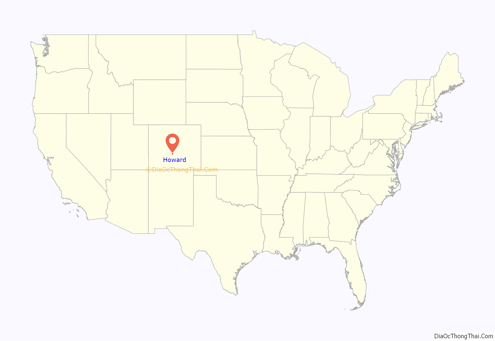
Howard is a census-designated place (CDP) and post office in and governed by Fremont County, Colorado, United States. The CDP is a part of the Cañon City, CO Micropolitan Statistical Area. The Howard post office has the ZIP Code 81233. At the United States Census 2020, the population of the Howard CDP was 852.
| Name: | Howard CDP |
|---|---|
| LSAD Code: | 57 |
| LSAD Description: | CDP (suffix) |
| State: | Colorado |
| County: | Fremont County |
| Elevation: | 7,405 ft (2,257 m) |
| Total Area: | 16.741 sq mi (43.360 km²) |
| Land Area: | 16.741 sq mi (43.360 km²) |
| Water Area: | 0.000 sq mi (0.000 km²) |
| Total Population: | 852 |
| Population Density: | 51/sq mi (20/km²) |
| ZIP code: | 81233 |
| Area code: | 719 |
| FIPS code: | 0837655 |
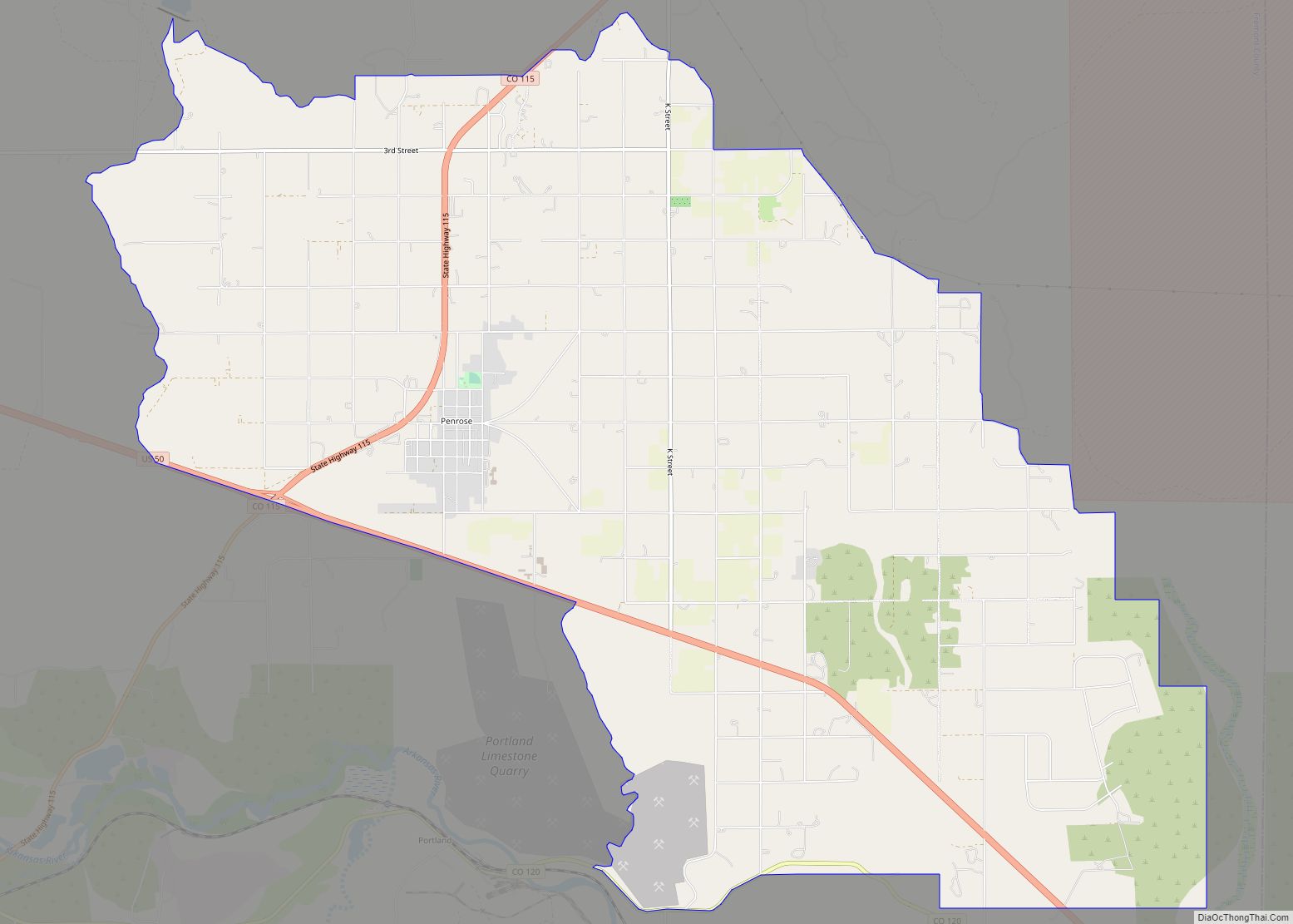
Online Interactive Map
Click on ![]() to view map in "full screen" mode.
to view map in "full screen" mode.
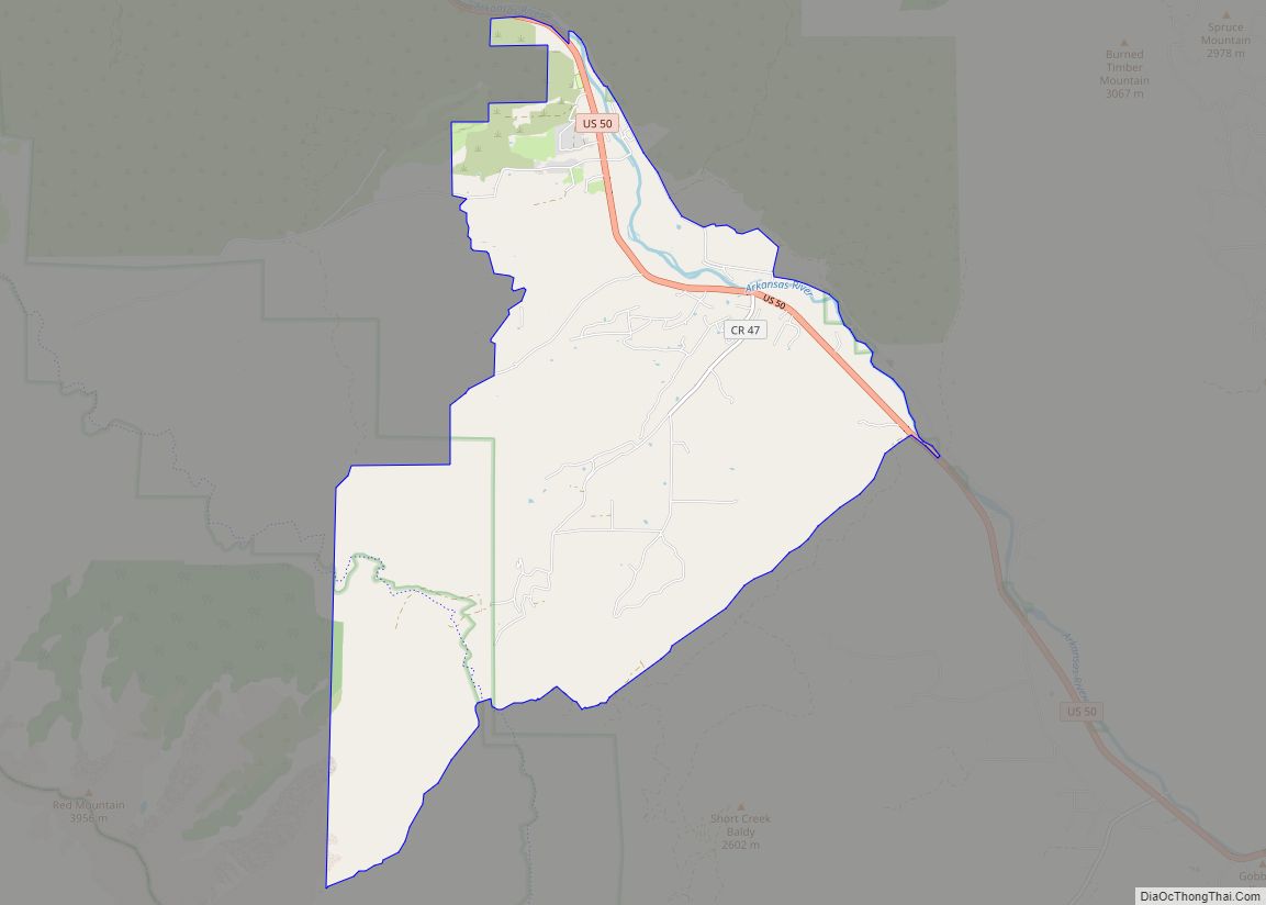
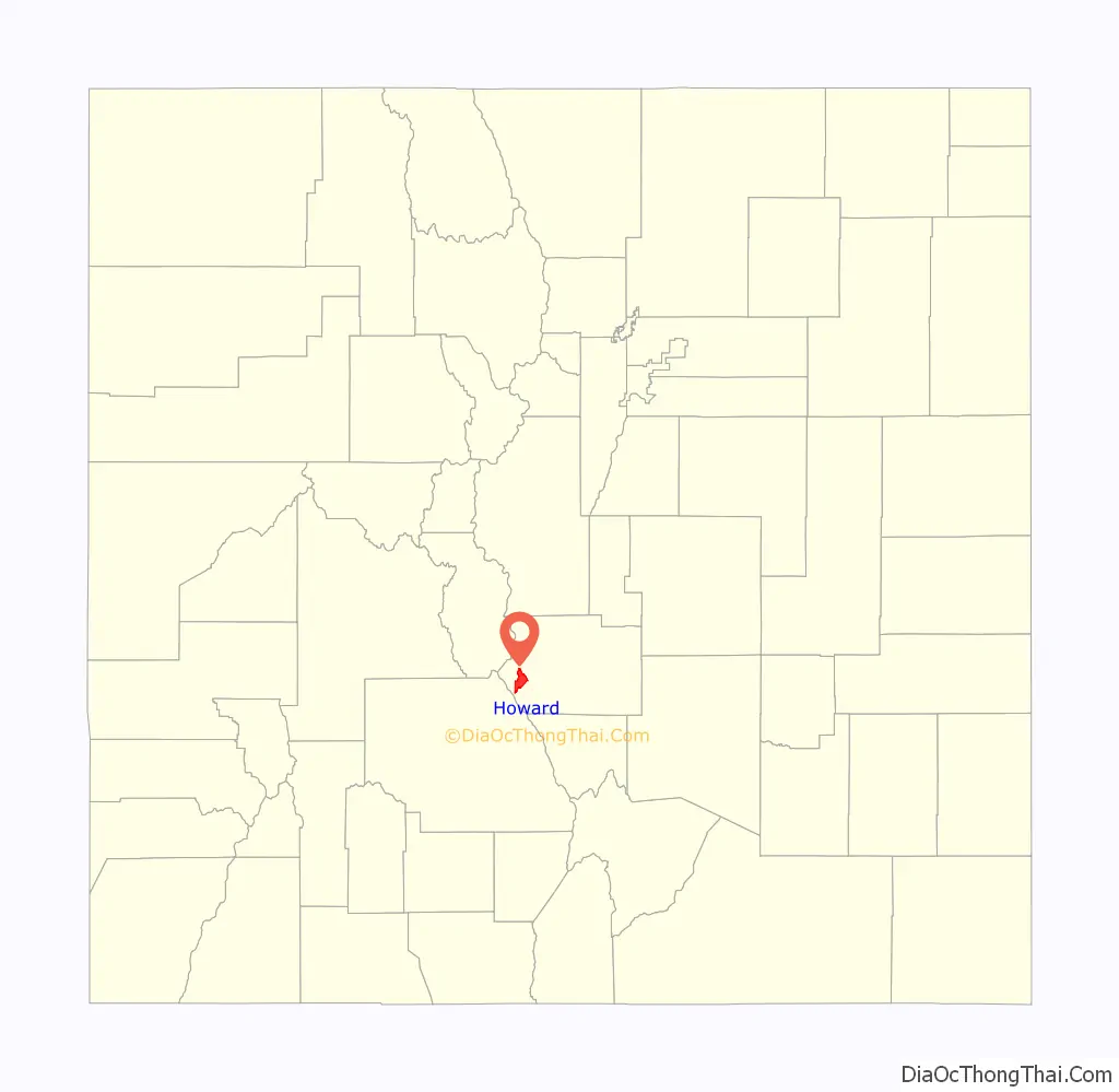
Howard location map. Where is Howard CDP?
History
The Howard Post Office has been in operation since 1882. The community has the name of John Howard, a local pioneer.
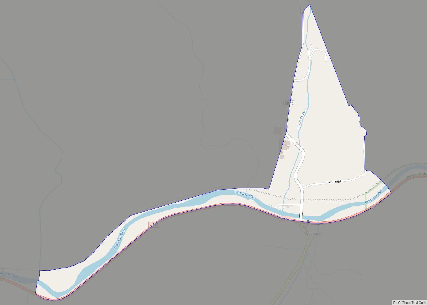
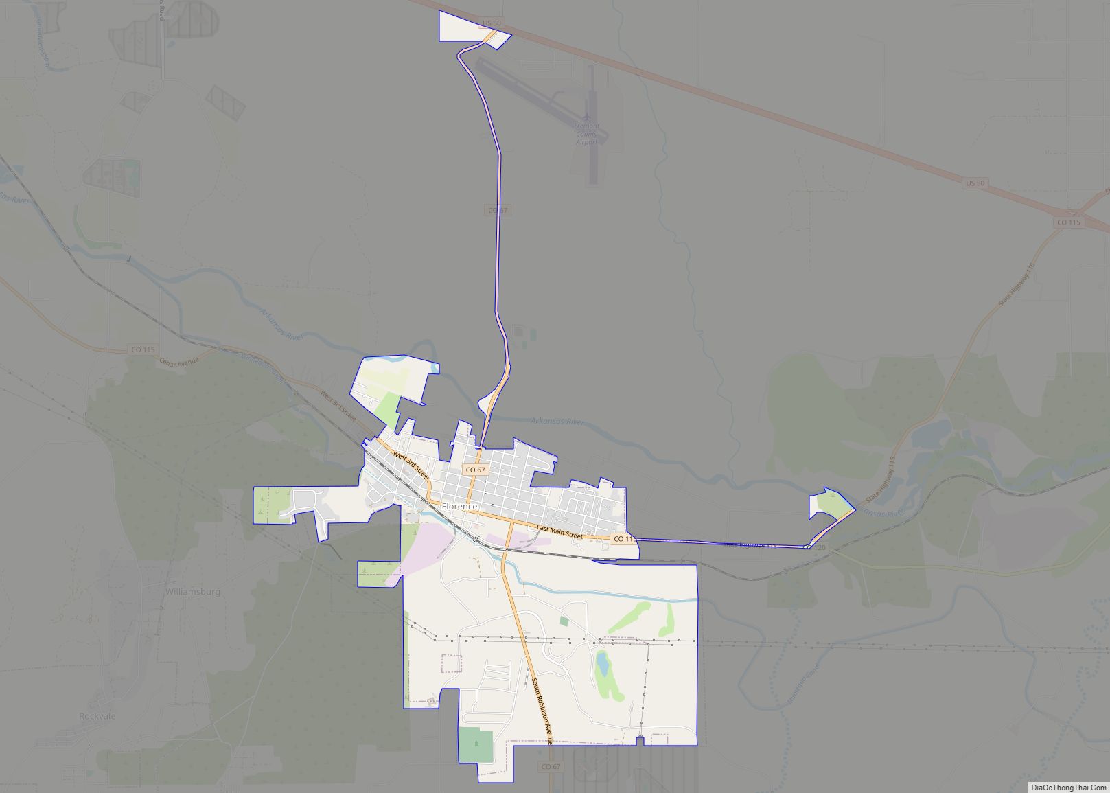
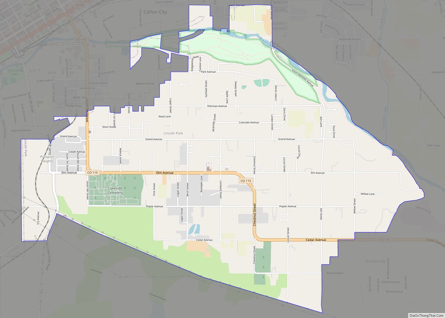
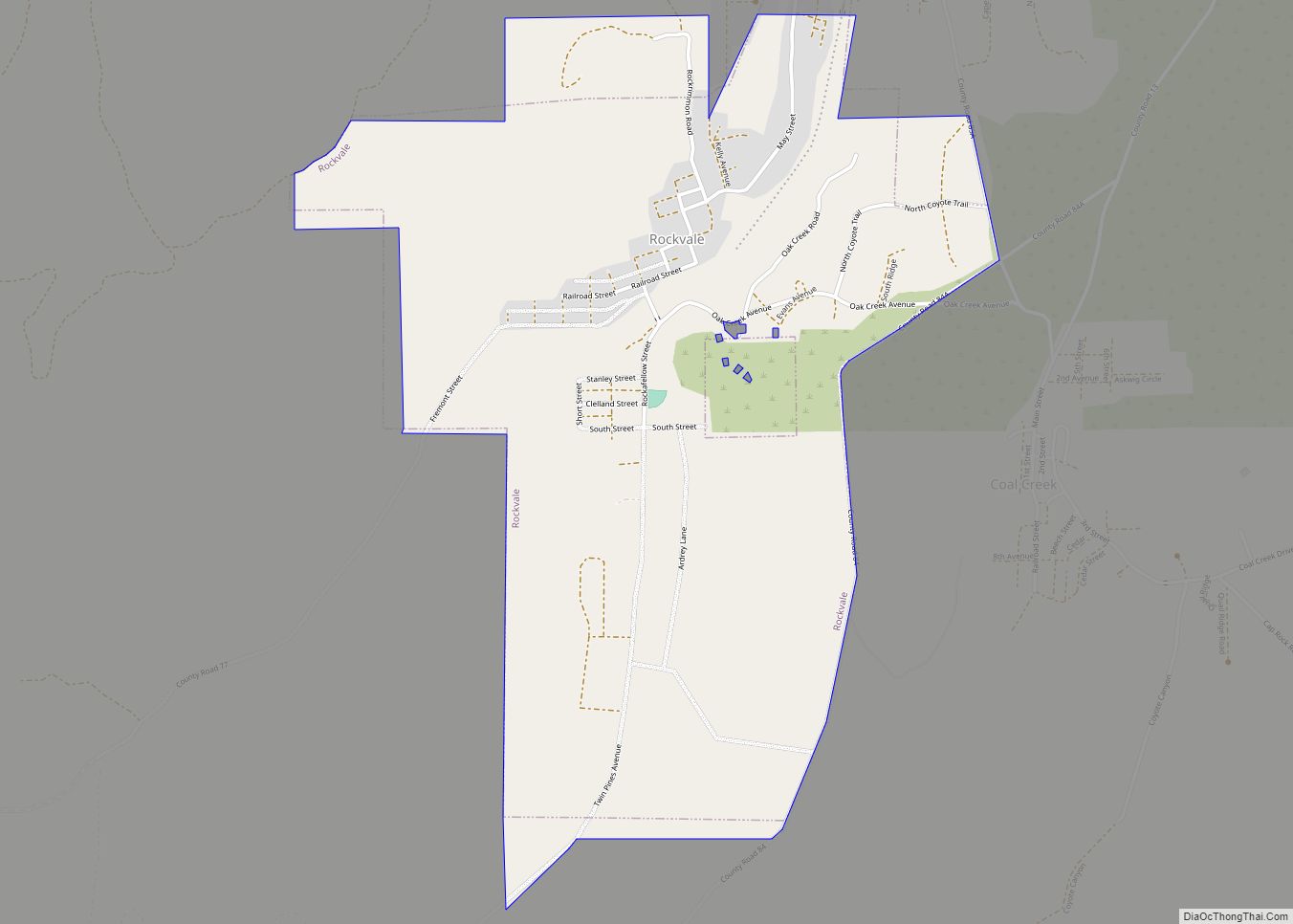
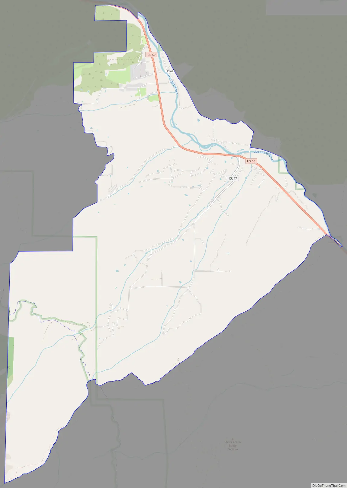
Howard Road Map
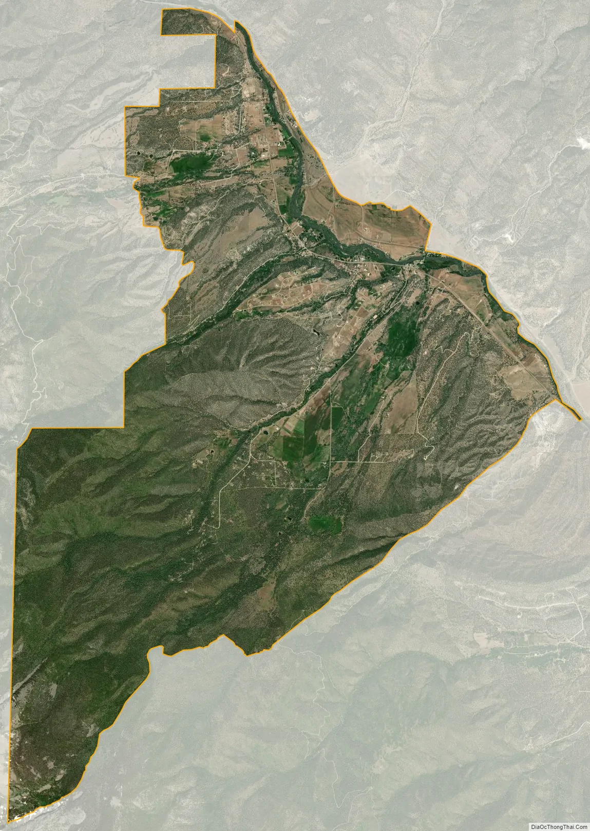
Howard city Satellite Map
Geography
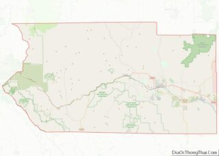
Howard is located in southwestern Fremont County, not far from the geographic center, or precise east-west, north-south middle point of Colorado. U.S. Route 50 passes through the CDP, leading northwest 13 miles (21 km) to Salida and east 46 miles (74 km) to Cañon City, the Fremont County seat. Howard is bordered to the southeast by Coaldale.
The Howard CDP has an area of 10,714 acres (43.360 km), all land. The CDP boundaries extend southwest from the Arkansas River Valley up the eastern slopes of the Sangre de Cristo Range within San Isabel National Forest.
See also
Map of Colorado State and its subdivision:- Adams
- Alamosa
- Arapahoe
- Archuleta
- Baca
- Bent
- Boulder
- Broomfield
- Chaffee
- Cheyenne
- Clear Creek
- Conejos
- Costilla
- Crowley
- Custer
- Delta
- Denver
- Dolores
- Douglas
- Eagle
- El Paso
- Elbert
- Fremont
- Garfield
- Gilpin
- Grand
- Gunnison
- Hinsdale
- Huerfano
- Jackson
- Jefferson
- Kiowa
- Kit Carson
- La Plata
- Lake
- Larimer
- Las Animas
- Lincoln
- Logan
- Mesa
- Mineral
- Moffat
- Montezuma
- Montrose
- Morgan
- Otero
- Ouray
- Park
- Phillips
- Pitkin
- Prowers
- Pueblo
- Rio Blanco
- Rio Grande
- Routt
- Saguache
- San Juan
- San Miguel
- Sedgwick
- Summit
- Teller
- Washington
- Weld
- Yuma
- Alabama
- Alaska
- Arizona
- Arkansas
- California
- Colorado
- Connecticut
- Delaware
- District of Columbia
- Florida
- Georgia
- Hawaii
- Idaho
- Illinois
- Indiana
- Iowa
- Kansas
- Kentucky
- Louisiana
- Maine
- Maryland
- Massachusetts
- Michigan
- Minnesota
- Mississippi
- Missouri
- Montana
- Nebraska
- Nevada
- New Hampshire
- New Jersey
- New Mexico
- New York
- North Carolina
- North Dakota
- Ohio
- Oklahoma
- Oregon
- Pennsylvania
- Rhode Island
- South Carolina
- South Dakota
- Tennessee
- Texas
- Utah
- Vermont
- Virginia
- Washington
- West Virginia
- Wisconsin
- Wyoming