Limon is a statutory town that is the most populous municipality in Lincoln County, Colorado, United States. The population was 2,043 at the 2020 United States Census. Limon has been called the “Hub City” of Eastern Colorado because Interstate 70, U.S. Highways 24, 40, and 287, and State Highways 71 and 86 all pass through or near the town. The Limon Correctional Facility is part of the Colorado Department of Corrections system and is a major employer in the area with employment of roughly 350. Limon is listed as the official AASHTO control city for signs on Interstate 70 between Denver and Hays, Kansas, although westbound signs in both Colorado and Kansas often omit Limon and list the larger city of Denver.
Limon is the western terminus of the Kyle Railroad and it is here the shortline interchanges with the Union Pacific Railroad. Trains previously stopped at Limon Railroad Depot.
| Name: | Limon town |
|---|---|
| LSAD Code: | 43 |
| LSAD Description: | town (suffix) |
| State: | Colorado |
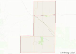
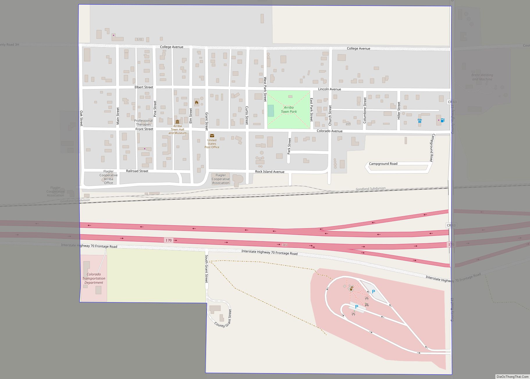
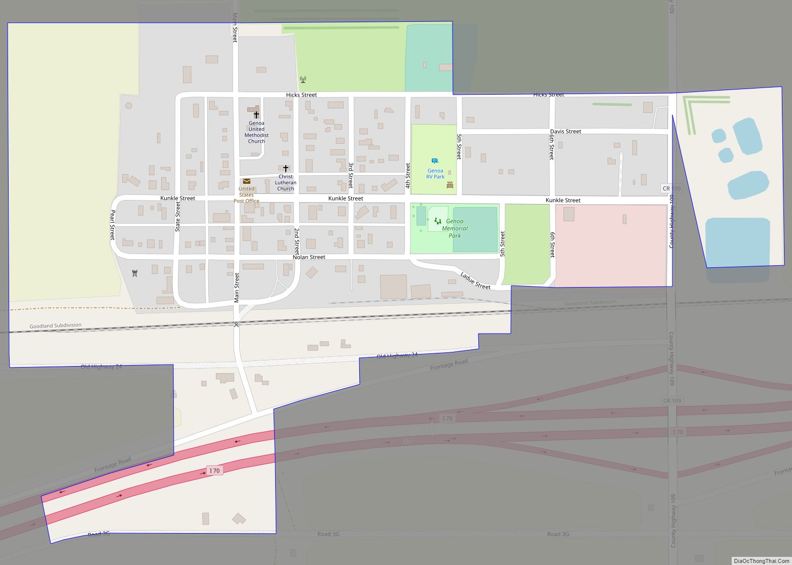
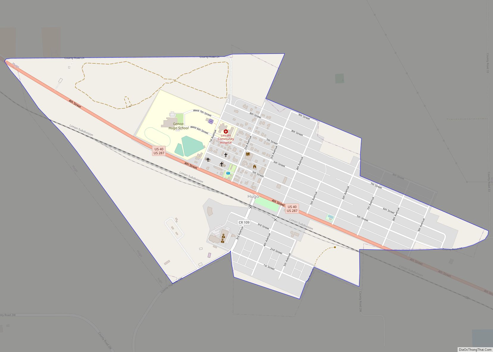
| County: | Lincoln County |
| Elevation: | 5,377 ft (1,639 m) |
| Total Area: | 3.19 sq mi (8.27 km²) |
| Land Area: | 3.16 sq mi (8.19 km²) |
| Water Area: | 0.03 sq mi (0.08 km²) |
| Total Population: | 2,043 |
| Population Density: | 640/sq mi (250/km²) |
| ZIP code: | 80826, 80828 |
| Area code: | 719 |
| FIPS code: | 0844980 |
| GNISfeature ID: | 0204819 |
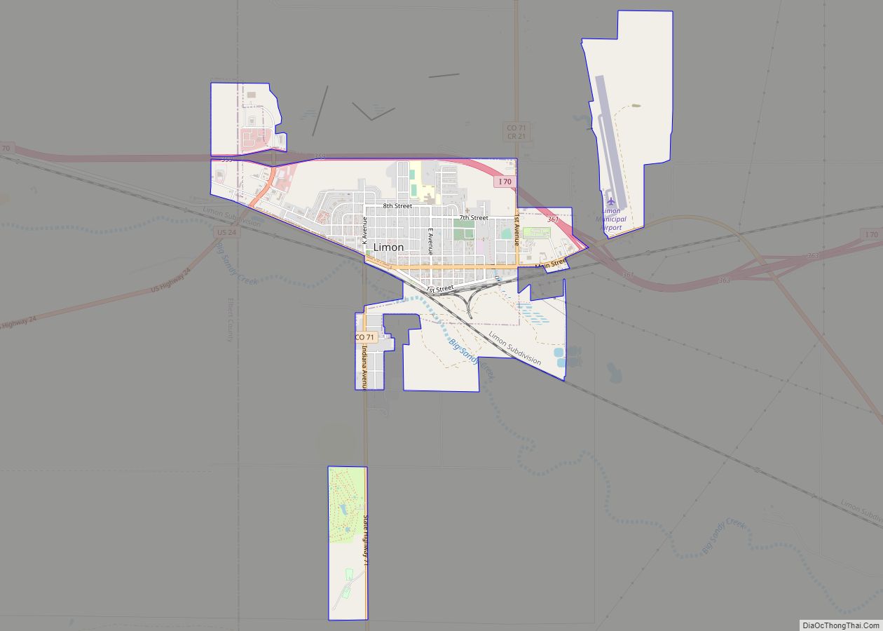
Online Interactive Map
Click on ![]() to view map in "full screen" mode.
to view map in "full screen" mode.
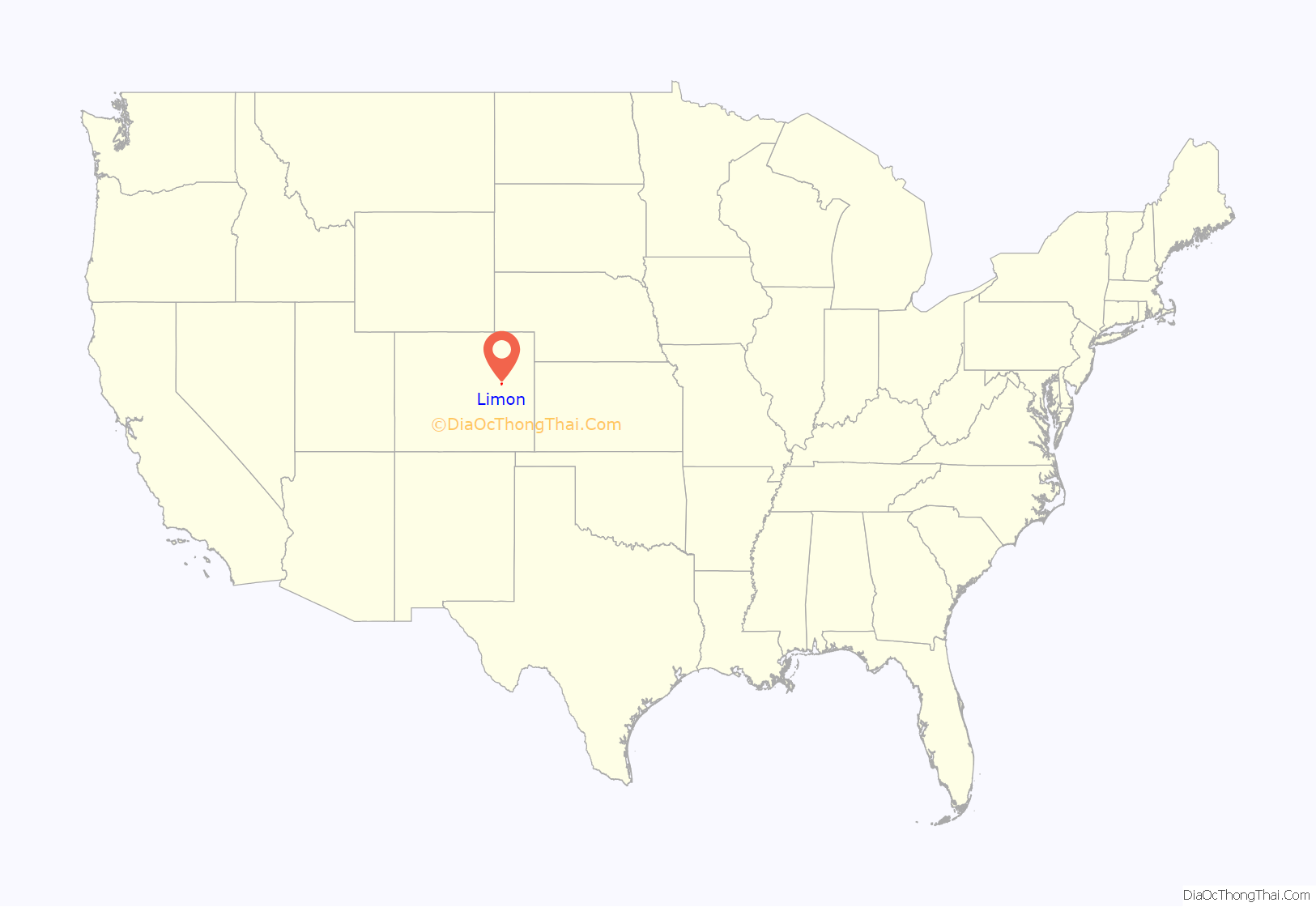
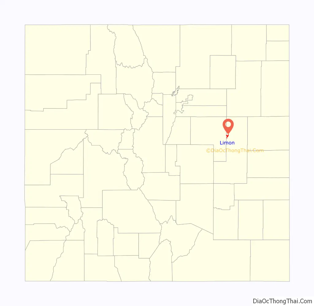
Limon location map. Where is Limon town?
Limon Road Map
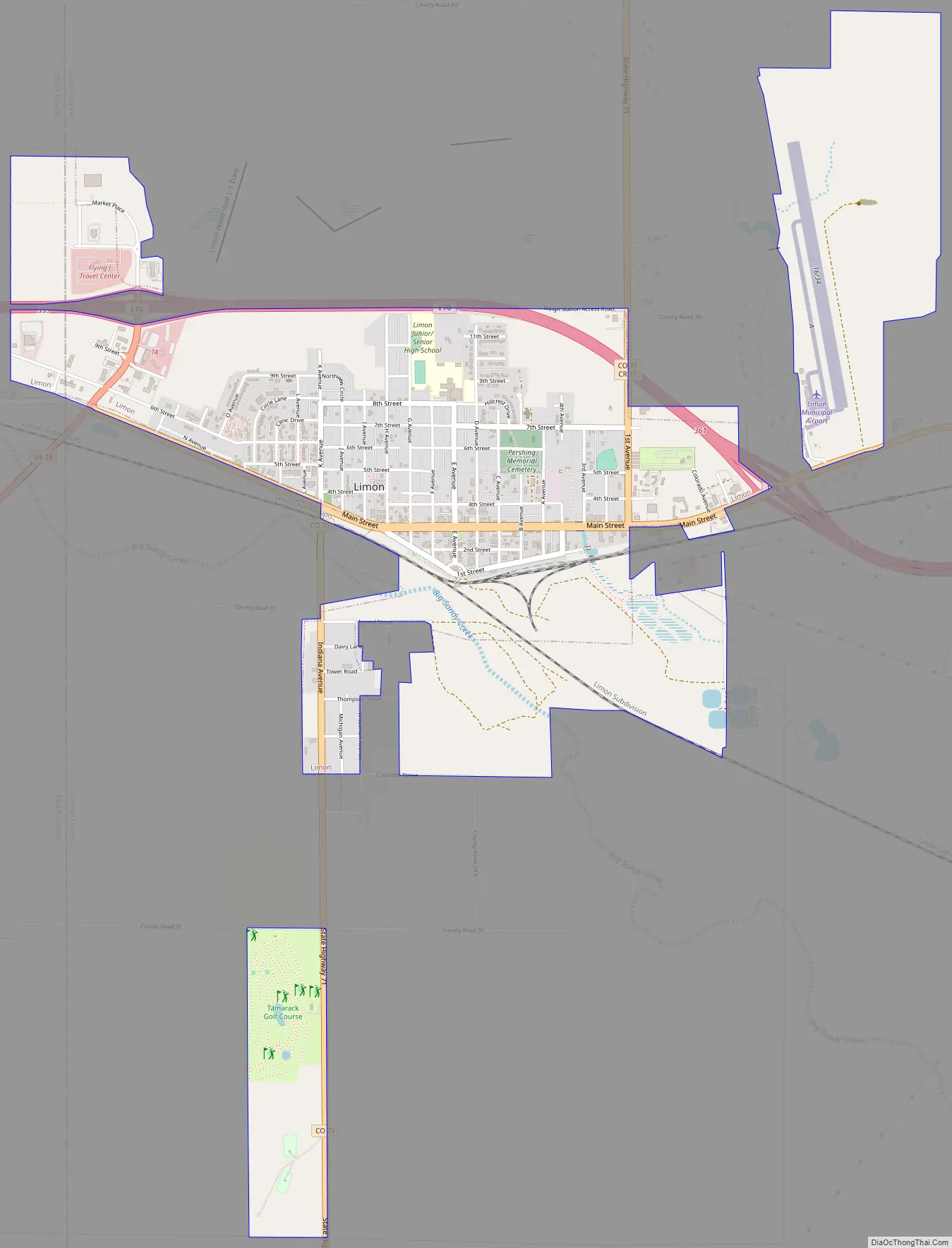
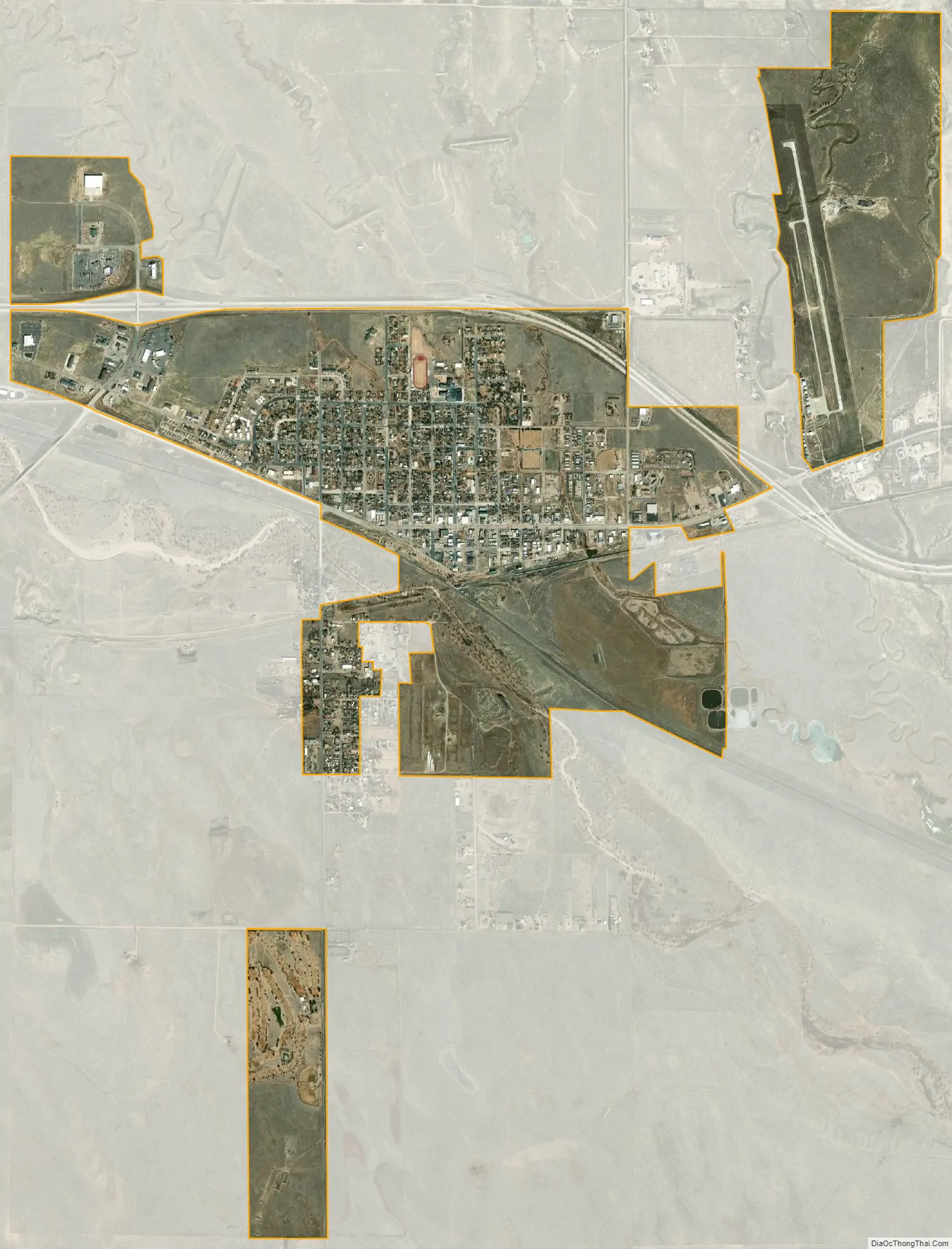
Limon city Satellite Map
Geography
Limon is located at 39°15′50″N 103°41′32″W / 39.26389°N 103.69222°W / 39.26389; -103.69222 at an elevation of 5,377 feet (1,639 m). Although entirely in Lincoln County, Limon is located immediately east of the Elbert County line. It lies on the north side of Big Sandy Creek, a tributary of the Arkansas River, on the eastern edge of the Colorado Piedmont region of the Great Plains, and is near the eastern end of the Palmer Divide. Located in east-central Colorado at the junction of Interstate 70, U.S. Highway 287, U.S. Highway 40, U.S. Highway 24, and State Highway 71, Limon is far from any major city or town, being 72 miles (116 km) northeast of Colorado Springs, 83 miles (134 km) southeast of Denver, and 486 miles (782 km) west of Kansas City.
According to the United States Census Bureau, the town has a total area of 1.9 square miles (4.9 km), all land.
Climate
Limon has a semi-arid steppe climate (Köppen BSk) with cold, dry winters and warm, mildly wetter summers. Due to its location on the eastern plains, the town is often subject to severe, sometimes violent thunderstorms throughout the summer. Large hail, damaging winds, heavy rain, and tornadoes are common in the summer months. The high temperature reaches or exceeds 90 °F (32 °C) an average of 32.3 days a year and reaches or exceeds 100 °F (38 °C) an average of 0.8 days a year. The minimum temperature falls below the freezing point 32 °F (0 °C) an average of 195.9 days a year. Typically, the first fall freeze occurs by the fourth week of September, and the last spring freeze occurs by the third week of May. In a typical year, Limon receives 14.97 inches (380 mm) of precipitation, and there are 81.3 days of measurable precipitation. The hottest temperature recorded in Limon was 104 °F (40 °C) on July 20, 2005; the coldest temperature recorded was −28 °F (−33 °C) on February 14, 2021.
See also
Map of Colorado State and its subdivision:- Adams
- Alamosa
- Arapahoe
- Archuleta
- Baca
- Bent
- Boulder
- Broomfield
- Chaffee
- Cheyenne
- Clear Creek
- Conejos
- Costilla
- Crowley
- Custer
- Delta
- Denver
- Dolores
- Douglas
- Eagle
- El Paso
- Elbert
- Fremont
- Garfield
- Gilpin
- Grand
- Gunnison
- Hinsdale
- Huerfano
- Jackson
- Jefferson
- Kiowa
- Kit Carson
- La Plata
- Lake
- Larimer
- Las Animas
- Lincoln
- Logan
- Mesa
- Mineral
- Moffat
- Montezuma
- Montrose
- Morgan
- Otero
- Ouray
- Park
- Phillips
- Pitkin
- Prowers
- Pueblo
- Rio Blanco
- Rio Grande
- Routt
- Saguache
- San Juan
- San Miguel
- Sedgwick
- Summit
- Teller
- Washington
- Weld
- Yuma
- Alabama
- Alaska
- Arizona
- Arkansas
- California
- Colorado
- Connecticut
- Delaware
- District of Columbia
- Florida
- Georgia
- Hawaii
- Idaho
- Illinois
- Indiana
- Iowa
- Kansas
- Kentucky
- Louisiana
- Maine
- Maryland
- Massachusetts
- Michigan
- Minnesota
- Mississippi
- Missouri
- Montana
- Nebraska
- Nevada
- New Hampshire
- New Jersey
- New Mexico
- New York
- North Carolina
- North Dakota
- Ohio
- Oklahoma
- Oregon
- Pennsylvania
- Rhode Island
- South Carolina
- South Dakota
- Tennessee
- Texas
- Utah
- Vermont
- Virginia
- Washington
- West Virginia
- Wisconsin
- Wyoming