Manitou Springs is a home rule municipality located at the foot of Pikes Peak in western El Paso County, Colorado, United States. The town was founded for its natural mineral springs. The downtown area continues to be of interest to travelers, particularly in the summer, with many shops and restaurants, as well as a creekside city park. The main road through the center of town was one of the direct paths to the base of Pikes Peak. Barr Trail, which winds its way up Pikes Peak, is accessible from town. The subdivision Crystal Hills was added to the municipality in the 1960s.
The city population was 4,858 at the 2020 United States Census. Students are served by Manitou Springs School District 14 and Manitou Springs High School.
| Name: | Manitou Springs city |
|---|---|
| LSAD Code: | 25 |
| LSAD Description: | city (suffix) |
| State: | Colorado |
| County: | El Paso County |
| Incorporated: | January 25, 1888 |
| Elevation: | 6,412 ft (1,938 m) |
| Total Area: | 3.15 sq mi (8.16 km²) |
| Land Area: | 3.15 sq mi (8.16 km²) |
| Water Area: | 0.00 sq mi (0.00 km²) |
| Total Population: | 4,858 |
| Population Density: | 1,500/sq mi (600/km²) |
| ZIP code: | 80829 |
| Area code: | 719 |
| FIPS code: | 0848445 |
| GNISfeature ID: | 0193457 |
| Website: | www.manitouspringsgov.com |
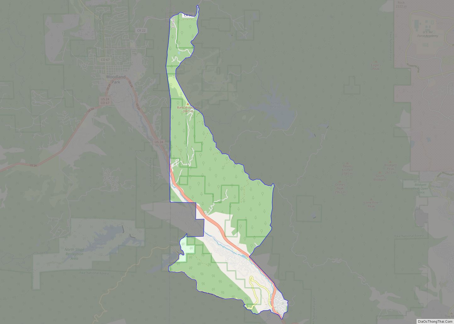
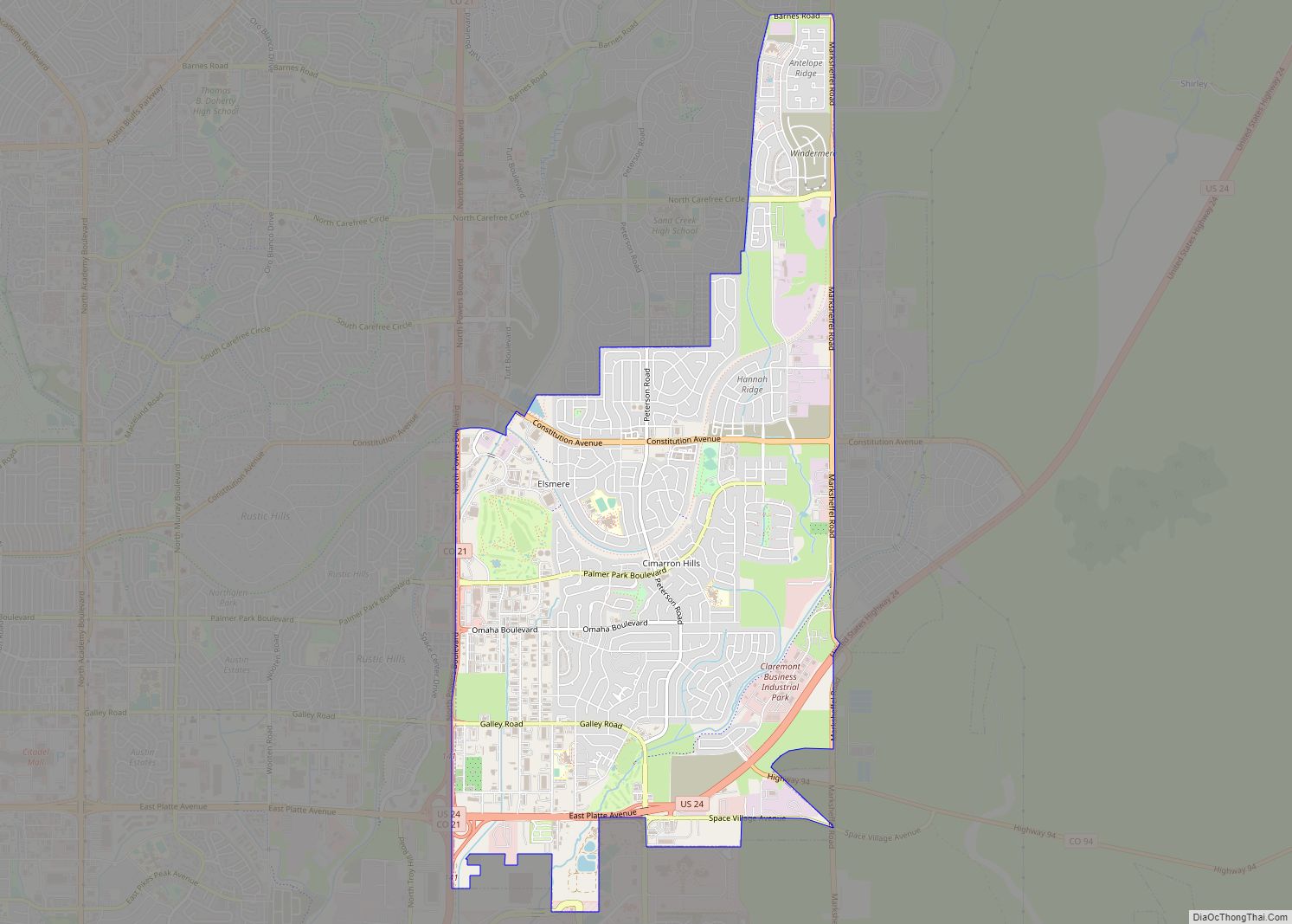
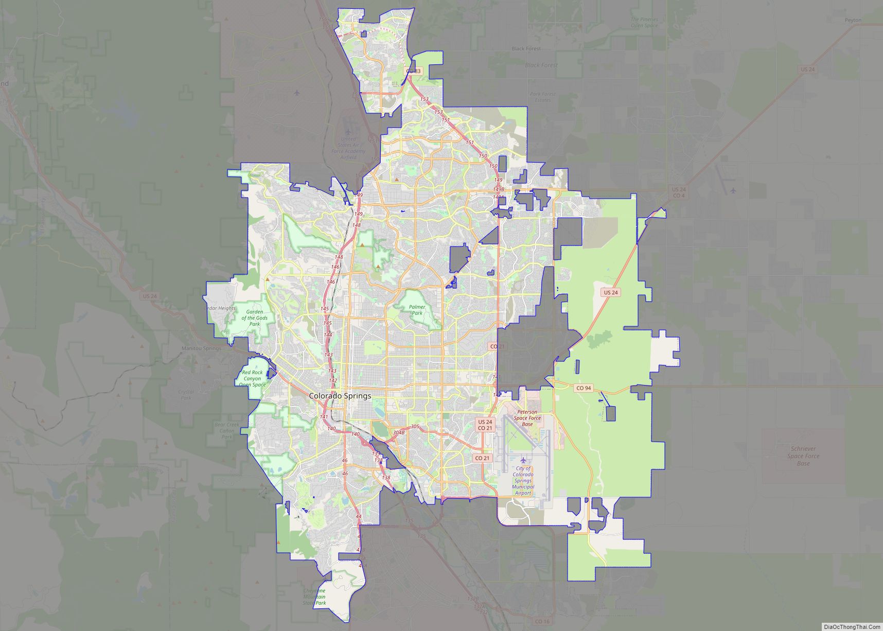
Online Interactive Map
Click on ![]() to view map in "full screen" mode.
to view map in "full screen" mode.
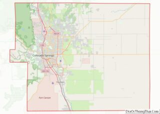
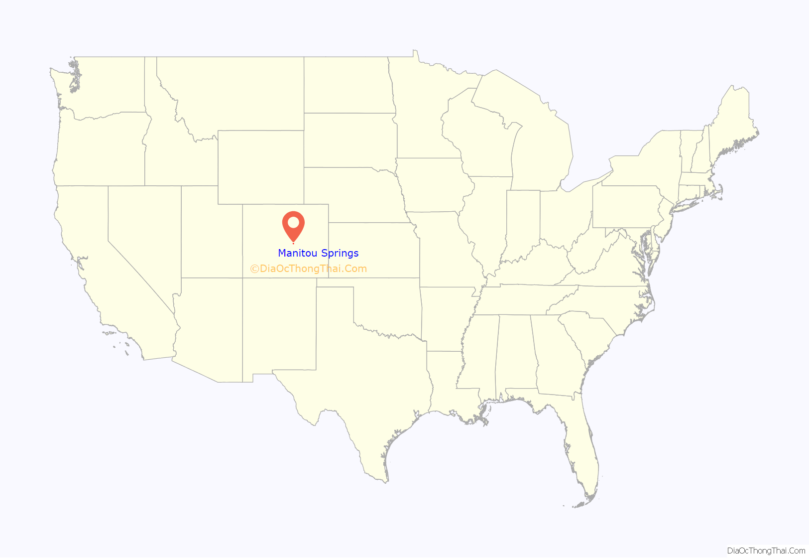
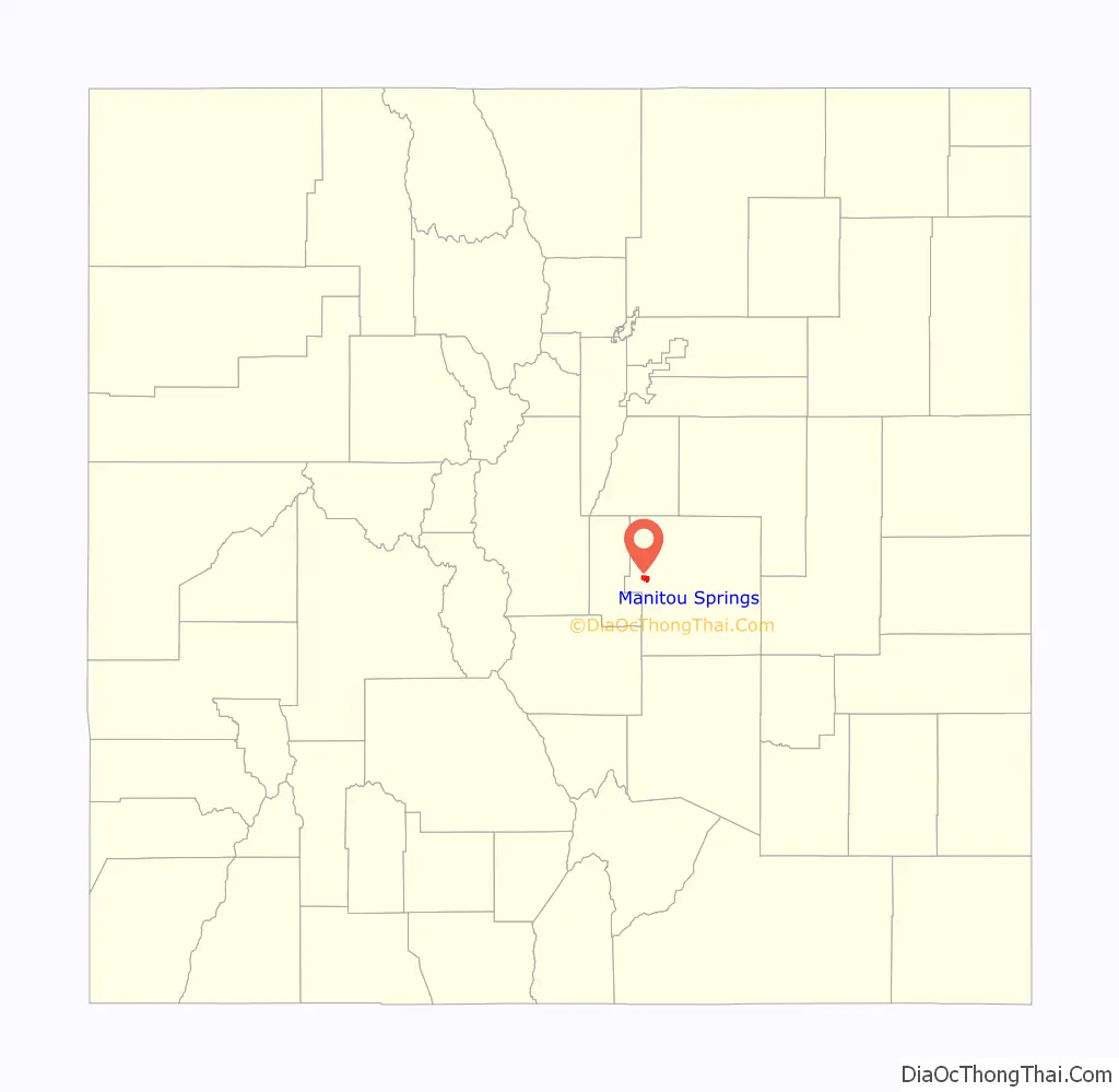
Manitou Springs location map. Where is Manitou Springs city?
History
General William Jackson Palmer and Dr. William Abraham Bell founded Manitou Springs in 1872, intending the town to be a “scenic health resort”. Bell’s home, Briarhurst Manor, is open to the public as a fine dining restaurant, which is listed on the National Register of Historic places. In 1876, the town was incorporated. “Manitou Springs has been the quintessential tourist town since the 1870s, when visitors discovered the healing waters the Ute Indians had been drinking for years. Many of the town’s mineral springs still function today and the water is free.”
Historic district
In 1980, the Manitou Springs Historic District was formed by the Historic Preservation Committee to manage development, renovation and preservation within the town. It is a National Register of Historic Places listing and one of the country’s largest National Historic Districts.
Waldo Canyon fire
In June 2012, the entire city was evacuated due to the Waldo Canyon fire nearby. Parts of western Colorado Springs were also evacuated. Manitou Springs did not suffer any fire damage, and the city was under evacuation orders from only 1:30 a.m. Monday until 8 p.m. the same day. There was no fire damage visible from Manitou Springs, and all businesses reopened.
Waldo Canyon flash flood
On the afternoon of August 9, 2013, the city was inundated by a flash flood entering the northern edges of the city via roadways and natural channels as it descended from the flooded-out US Hwy 24. Traffic was stopped in both directions as the highway barriers formed a river drifting several occupied cars down a runoff ditch. The strong current made a path down Manitou Avenue from Cavern Gulch, as well as Canon Avenue, meandering turbulently through streets, homes, businesses, and spillways, damaging 20 homes, 8 of them significantly. The flood water threatened buildings and parking lots along Fountain Creek, and closed a portion of Manitou Avenue, which reopened later that evening.
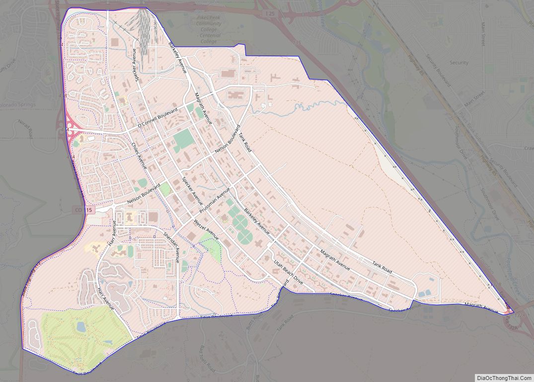
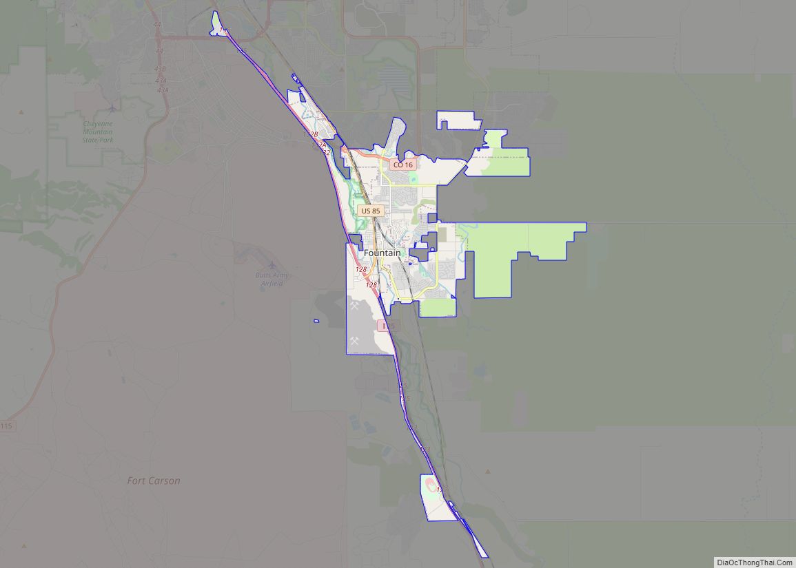
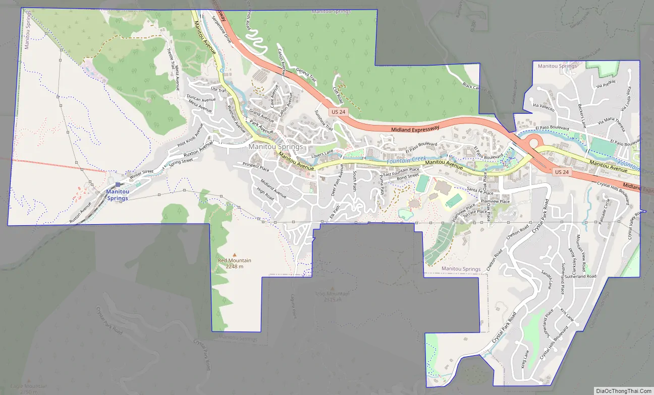
Manitou Springs Road Map
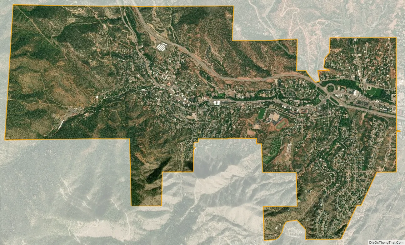
Manitou Springs city Satellite Map
Geography
Situated directly along U.S. Route 24 just west of Old Colorado City and Cave of the Winds, the town is bordered by Mt. Manitou to the west, Red Mountain to the south, and Englemann Canyon, south and west. It is near Garden of the Gods, with the same red stone as Red Mountain, and is at the base of Pikes Peak. According to the United States Census Bureau, the city has a total area of 3.2 square miles (8.2 km), all of it land.
Climate
Manitou Springs has a humid continental climate (Koppen: Dfb), categorized by four distinct seasons. Summertime is hot, and wintertime is cool, sometimes cold. Spring and fall are generally very pleasant.
See also
Map of Colorado State and its subdivision:- Adams
- Alamosa
- Arapahoe
- Archuleta
- Baca
- Bent
- Boulder
- Broomfield
- Chaffee
- Cheyenne
- Clear Creek
- Conejos
- Costilla
- Crowley
- Custer
- Delta
- Denver
- Dolores
- Douglas
- Eagle
- El Paso
- Elbert
- Fremont
- Garfield
- Gilpin
- Grand
- Gunnison
- Hinsdale
- Huerfano
- Jackson
- Jefferson
- Kiowa
- Kit Carson
- La Plata
- Lake
- Larimer
- Las Animas
- Lincoln
- Logan
- Mesa
- Mineral
- Moffat
- Montezuma
- Montrose
- Morgan
- Otero
- Ouray
- Park
- Phillips
- Pitkin
- Prowers
- Pueblo
- Rio Blanco
- Rio Grande
- Routt
- Saguache
- San Juan
- San Miguel
- Sedgwick
- Summit
- Teller
- Washington
- Weld
- Yuma
- Alabama
- Alaska
- Arizona
- Arkansas
- California
- Colorado
- Connecticut
- Delaware
- District of Columbia
- Florida
- Georgia
- Hawaii
- Idaho
- Illinois
- Indiana
- Iowa
- Kansas
- Kentucky
- Louisiana
- Maine
- Maryland
- Massachusetts
- Michigan
- Minnesota
- Mississippi
- Missouri
- Montana
- Nebraska
- Nevada
- New Hampshire
- New Jersey
- New Mexico
- New York
- North Carolina
- North Dakota
- Ohio
- Oklahoma
- Oregon
- Pennsylvania
- Rhode Island
- South Carolina
- South Dakota
- Tennessee
- Texas
- Utah
- Vermont
- Virginia
- Washington
- West Virginia
- Wisconsin
- Wyoming