Nunn is a Statutory Town in Weld County, Colorado, United States. The population was 504 at the 2020 census.
A post office called Nunn has been in operation since 1905. The town was named after Tom Nunn, who was credited with preventing a nearby train wreck.
| Name: | Nunn town |
|---|---|
| LSAD Code: | 43 |
| LSAD Description: | town (suffix) |
| State: | Colorado |
| County: | Weld County |
| Elevation: | 5,177 ft (1,578 m) |
| Total Area: | 3.71 sq mi (9.60 km²) |
| Land Area: | 3.71 sq mi (9.60 km²) |
| Water Area: | 0.00 sq mi (0.00 km²) 0.0% |
| Total Population: | 504 |
| Population Density: | 140/sq mi (53/km²) |
| ZIP code: | 80648 |
| Area code: | 970 |
| FIPS code: | 0855045 |
| GNISfeature ID: | 0204688 |
| Website: | www.nunncolorado.com |
Online Interactive Map
Click on ![]() to view map in "full screen" mode.
to view map in "full screen" mode.
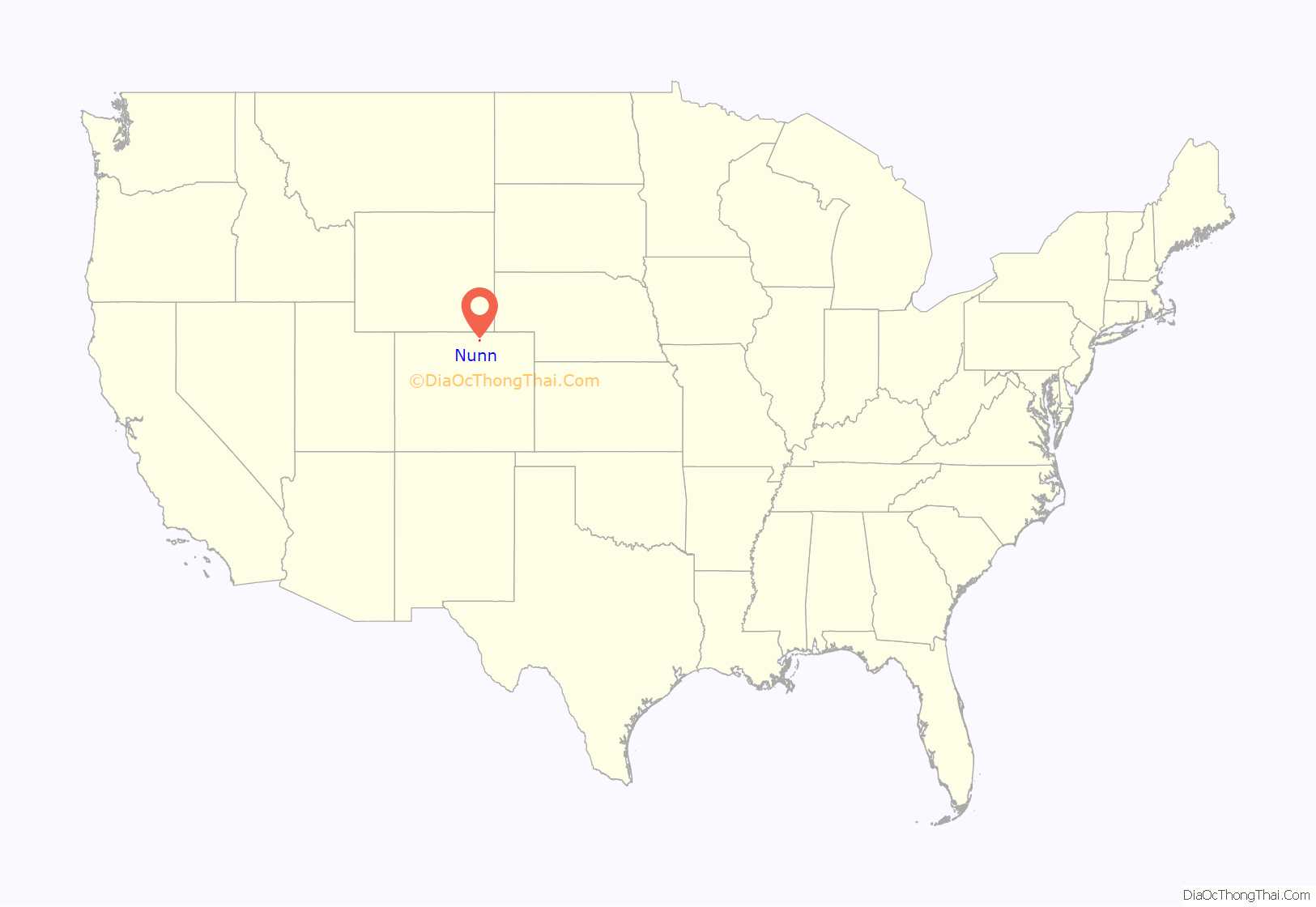
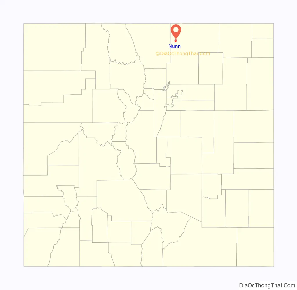
Nunn location map. Where is Nunn town?
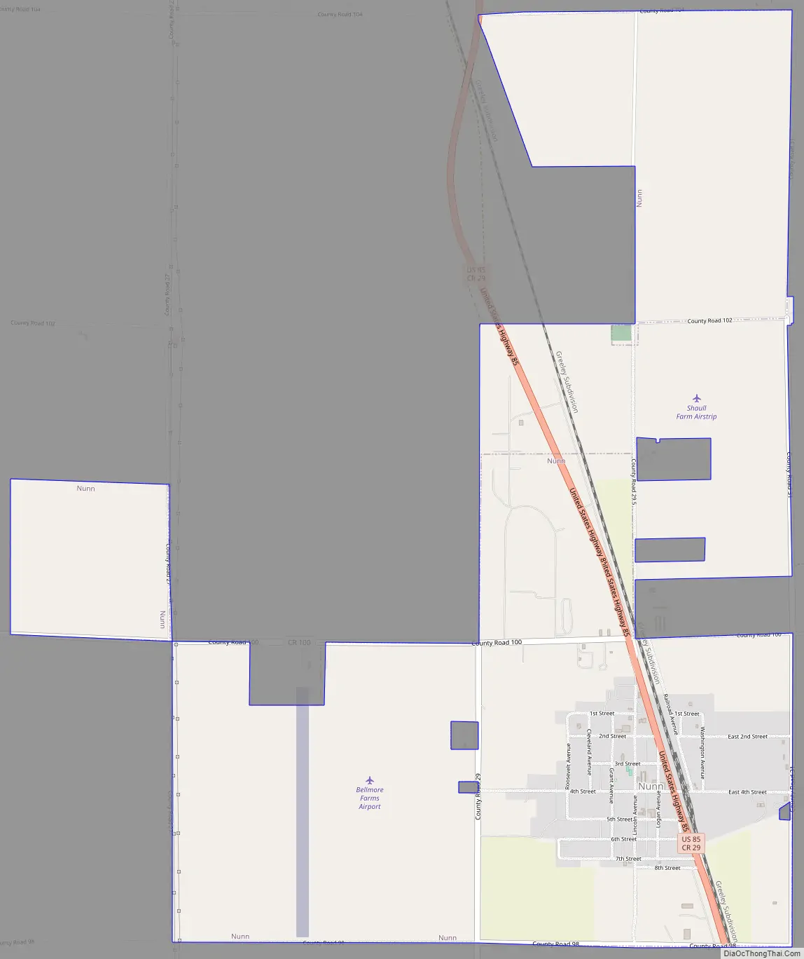
Nunn Road Map
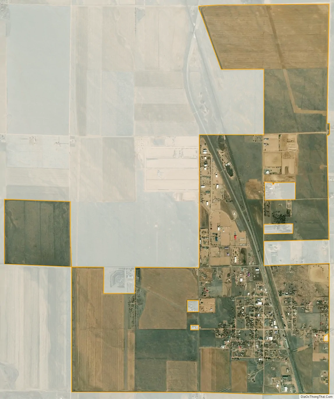
Nunn city Satellite Map
Geography
Nunn is located at 40°42′14″N 104°46′51″W / 40.70389°N 104.78083°W / 40.70389; -104.78083. According to the United States Census Bureau, the town has a total area of 1.8 square miles (4.7 km), all of it land.
See also
Map of Colorado State and its subdivision:- Adams
- Alamosa
- Arapahoe
- Archuleta
- Baca
- Bent
- Boulder
- Broomfield
- Chaffee
- Cheyenne
- Clear Creek
- Conejos
- Costilla
- Crowley
- Custer
- Delta
- Denver
- Dolores
- Douglas
- Eagle
- El Paso
- Elbert
- Fremont
- Garfield
- Gilpin
- Grand
- Gunnison
- Hinsdale
- Huerfano
- Jackson
- Jefferson
- Kiowa
- Kit Carson
- La Plata
- Lake
- Larimer
- Las Animas
- Lincoln
- Logan
- Mesa
- Mineral
- Moffat
- Montezuma
- Montrose
- Morgan
- Otero
- Ouray
- Park
- Phillips
- Pitkin
- Prowers
- Pueblo
- Rio Blanco
- Rio Grande
- Routt
- Saguache
- San Juan
- San Miguel
- Sedgwick
- Summit
- Teller
- Washington
- Weld
- Yuma
- Alabama
- Alaska
- Arizona
- Arkansas
- California
- Colorado
- Connecticut
- Delaware
- District of Columbia
- Florida
- Georgia
- Hawaii
- Idaho
- Illinois
- Indiana
- Iowa
- Kansas
- Kentucky
- Louisiana
- Maine
- Maryland
- Massachusetts
- Michigan
- Minnesota
- Mississippi
- Missouri
- Montana
- Nebraska
- Nevada
- New Hampshire
- New Jersey
- New Mexico
- New York
- North Carolina
- North Dakota
- Ohio
- Oklahoma
- Oregon
- Pennsylvania
- Rhode Island
- South Carolina
- South Dakota
- Tennessee
- Texas
- Utah
- Vermont
- Virginia
- Washington
- West Virginia
- Wisconsin
- Wyoming