Orchard City is a statutory town in Delta County, Colorado, United States. The population was 3,142 at the 2020 census. There are three post offices serving Orchard City: Austin (ZIP code 81410), Cory (ZIP code 81414), Eckert (ZIP code 81418).
| Name: | Orchard City town |
|---|---|
| LSAD Code: | 43 |
| LSAD Description: | town (suffix) |
| State: | Colorado |
| County: | Delta County |
| Elevation: | 5,446 ft (1,660 m) |
| Total Area: | 11.53 sq mi (29.86 km²) |
| Land Area: | 11.52 sq mi (29.84 km²) |
| Water Area: | 0.01 sq mi (0.02 km²) |
| Total Population: | 3,142 |
| Population Density: | 270/sq mi (110/km²) |
| ZIP code: | 81410 |
| Area code: | 970 |
| FIPS code: | 0855980 |
| GNISfeature ID: | 0203073 |
| Website: | www.orchardcityco.org |
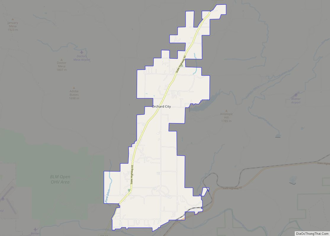
Online Interactive Map
Click on ![]() to view map in "full screen" mode.
to view map in "full screen" mode.
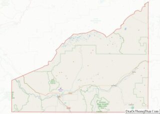
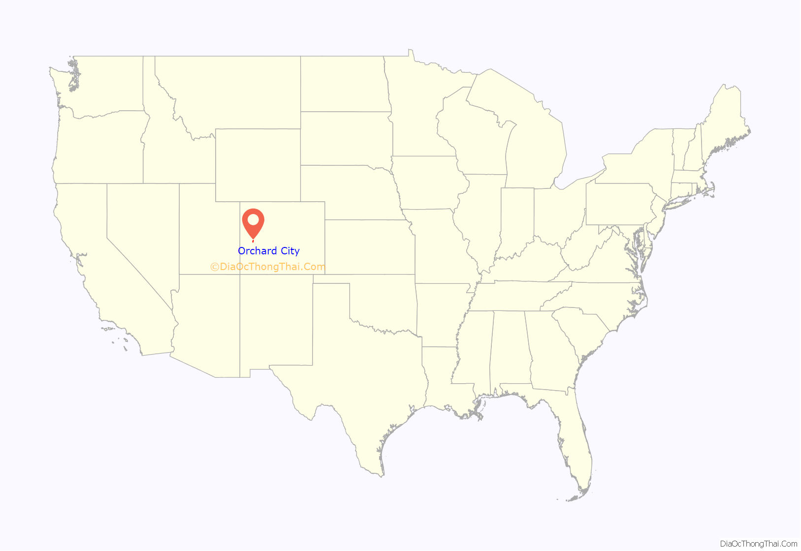
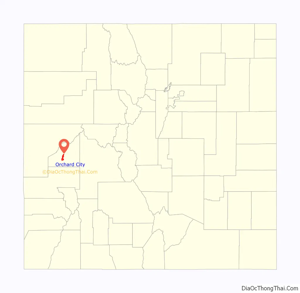
Orchard City location map. Where is Orchard City town?
History
In the early 20th century, because residents in the area were getting sick from drinking ditch water, three small communities (Austin, Cory, and Eckert) agreed to consolidate in order to be able to raise enough money to build a water pipeline. Thus Orchard City was incorporated in 1912, but even to this day it’s more common for people to refer to one of the three specific communities within the boundaries of Orchard City. The community was named for an orchard near the original town site.
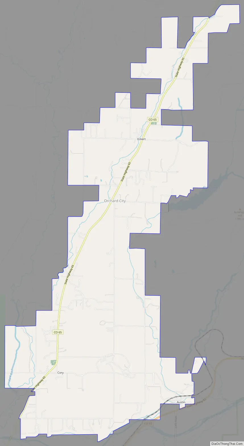
Orchard City Road Map
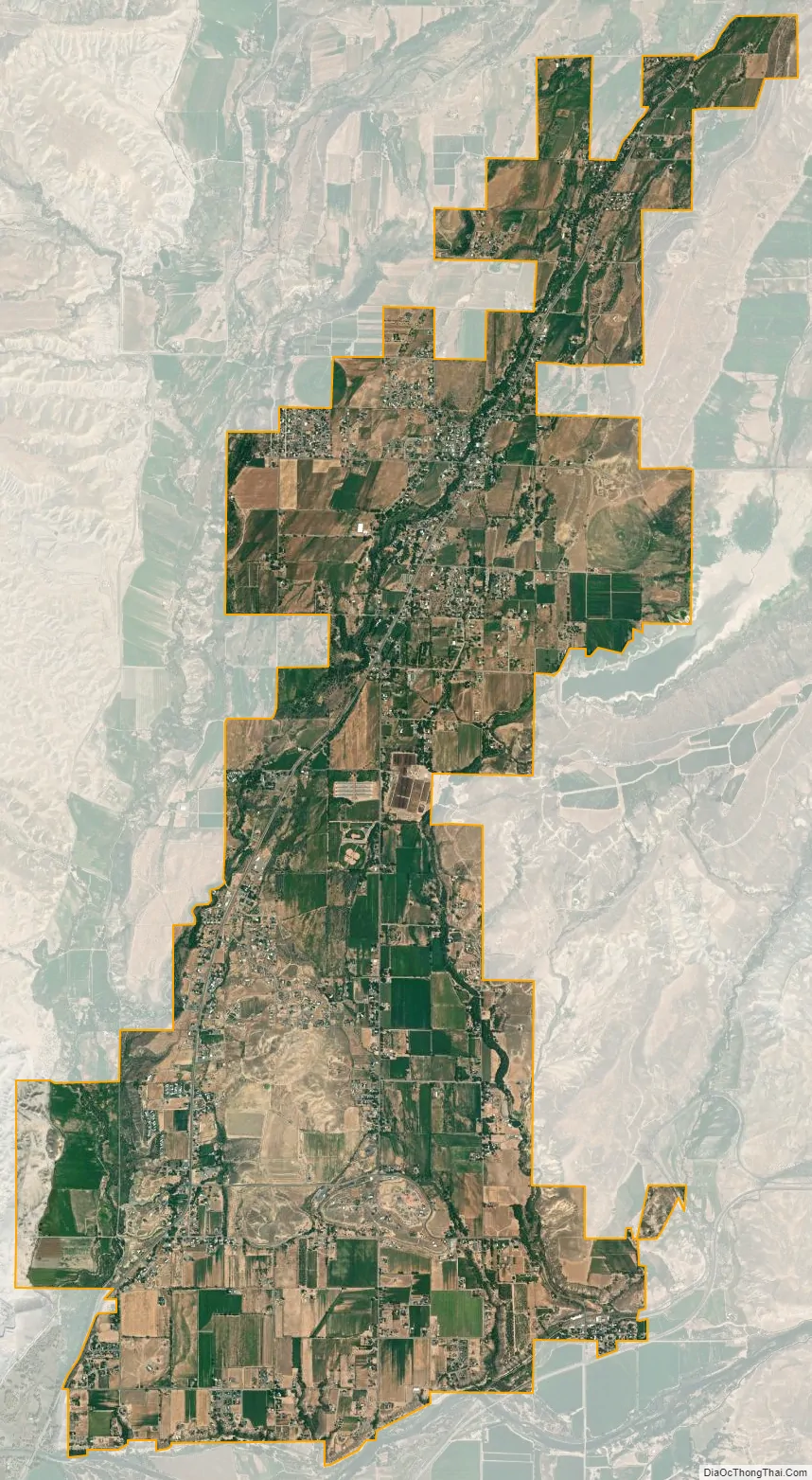
Orchard City city Satellite Map
Geography
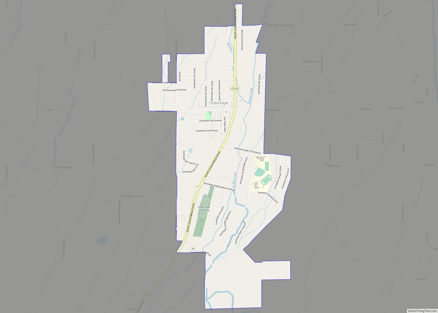
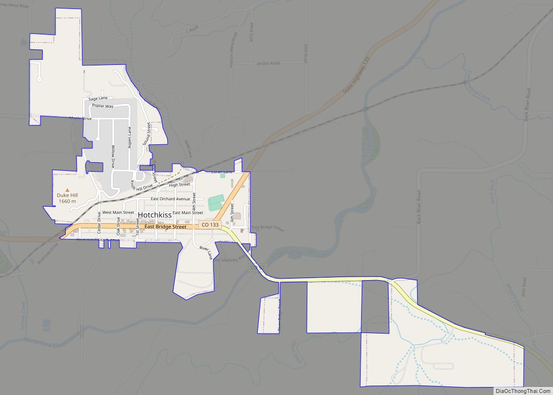
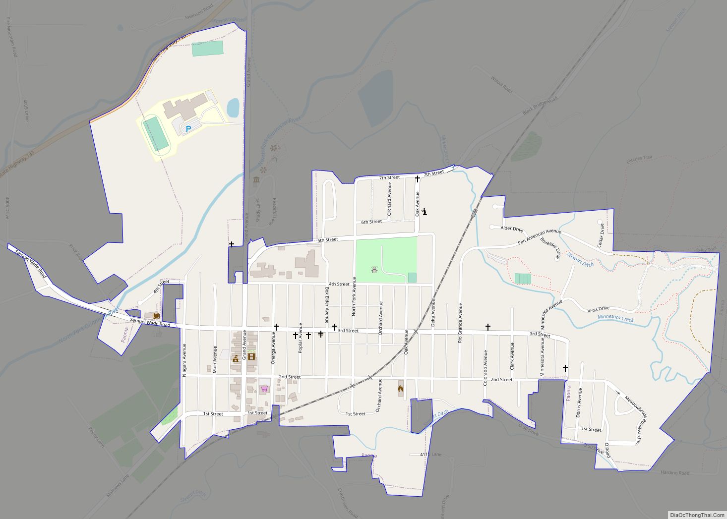
Orchard City is located in central Delta County at 38°48′59″N 107°58′37″W / 38.81639°N 107.97694°W / 38.81639; -107.97694 (38.816360, -107.976951). Colorado State Highway 65 passes through the town, leading southwest 9 miles (14 km) to Delta, the county seat, and northeast 6 miles (10 km) to the town of Cedaredge. Eckert is in the northern part of the town, and Cory is in the southwest, both along Highway 65. Austin is in the southeast corner of the town, on the north side of Colorado State Highway 92, which leads west 7 miles (11 km) to Delta and east 13 miles (21 km) to Hotchkiss.
According to the United States Census Bureau, Orchard City has a total area of 11.4 square miles (29.6 km), of which 0.01 square miles (0.02 km), or 0.06%, is water.
See also
Map of Colorado State and its subdivision:- Adams
- Alamosa
- Arapahoe
- Archuleta
- Baca
- Bent
- Boulder
- Broomfield
- Chaffee
- Cheyenne
- Clear Creek
- Conejos
- Costilla
- Crowley
- Custer
- Delta
- Denver
- Dolores
- Douglas
- Eagle
- El Paso
- Elbert
- Fremont
- Garfield
- Gilpin
- Grand
- Gunnison
- Hinsdale
- Huerfano
- Jackson
- Jefferson
- Kiowa
- Kit Carson
- La Plata
- Lake
- Larimer
- Las Animas
- Lincoln
- Logan
- Mesa
- Mineral
- Moffat
- Montezuma
- Montrose
- Morgan
- Otero
- Ouray
- Park
- Phillips
- Pitkin
- Prowers
- Pueblo
- Rio Blanco
- Rio Grande
- Routt
- Saguache
- San Juan
- San Miguel
- Sedgwick
- Summit
- Teller
- Washington
- Weld
- Yuma
- Alabama
- Alaska
- Arizona
- Arkansas
- California
- Colorado
- Connecticut
- Delaware
- District of Columbia
- Florida
- Georgia
- Hawaii
- Idaho
- Illinois
- Indiana
- Iowa
- Kansas
- Kentucky
- Louisiana
- Maine
- Maryland
- Massachusetts
- Michigan
- Minnesota
- Mississippi
- Missouri
- Montana
- Nebraska
- Nevada
- New Hampshire
- New Jersey
- New Mexico
- New York
- North Carolina
- North Dakota
- Ohio
- Oklahoma
- Oregon
- Pennsylvania
- Rhode Island
- South Carolina
- South Dakota
- Tennessee
- Texas
- Utah
- Vermont
- Virginia
- Washington
- West Virginia
- Wisconsin
- Wyoming