Pueblo West is a census-designated place (CDP) in and governed by Pueblo County, Colorado, United States. The CDP is part of the Pueblo, CO Metropolitan Statistical Area. The population of the Pueblo West CDP was 33,086 according to the United States Census 2020. The Pueblo West Metropolitan District provides services. The Pueblo post office (Zip Code 81007) serves Pueblo West postal addresses.
| Name: | Pueblo West CDP |
|---|---|
| LSAD Code: | 57 |
| LSAD Description: | CDP (suffix) |
| State: | Colorado |
| County: | Pueblo County |
| Founded: | 1970 |
| Elevation: | 5,089 ft (1,551 m) |
| Total Area: | 49.708 sq mi (128.744 km²) |
| Land Area: | 49.688 sq mi (128.692 km²) |
| Water Area: | 0.020 sq mi (0.052 km²) |
| Total Population: | 33,086 |
| Population Density: | 670/sq mi (260/km²) |
| ZIP code: | 81007 |
| Area code: | 719 |
| FIPS code: | 0862220 |
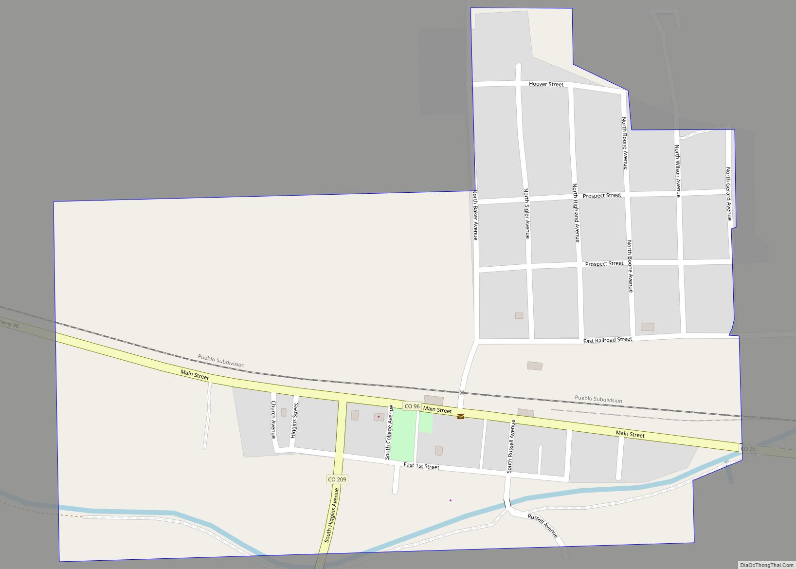
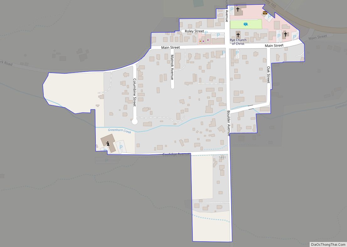
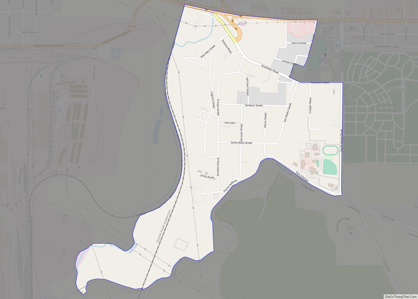
Online Interactive Map
Click on ![]() to view map in "full screen" mode.
to view map in "full screen" mode.
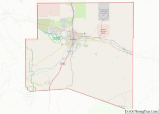
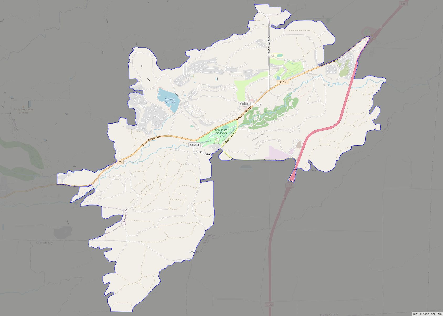
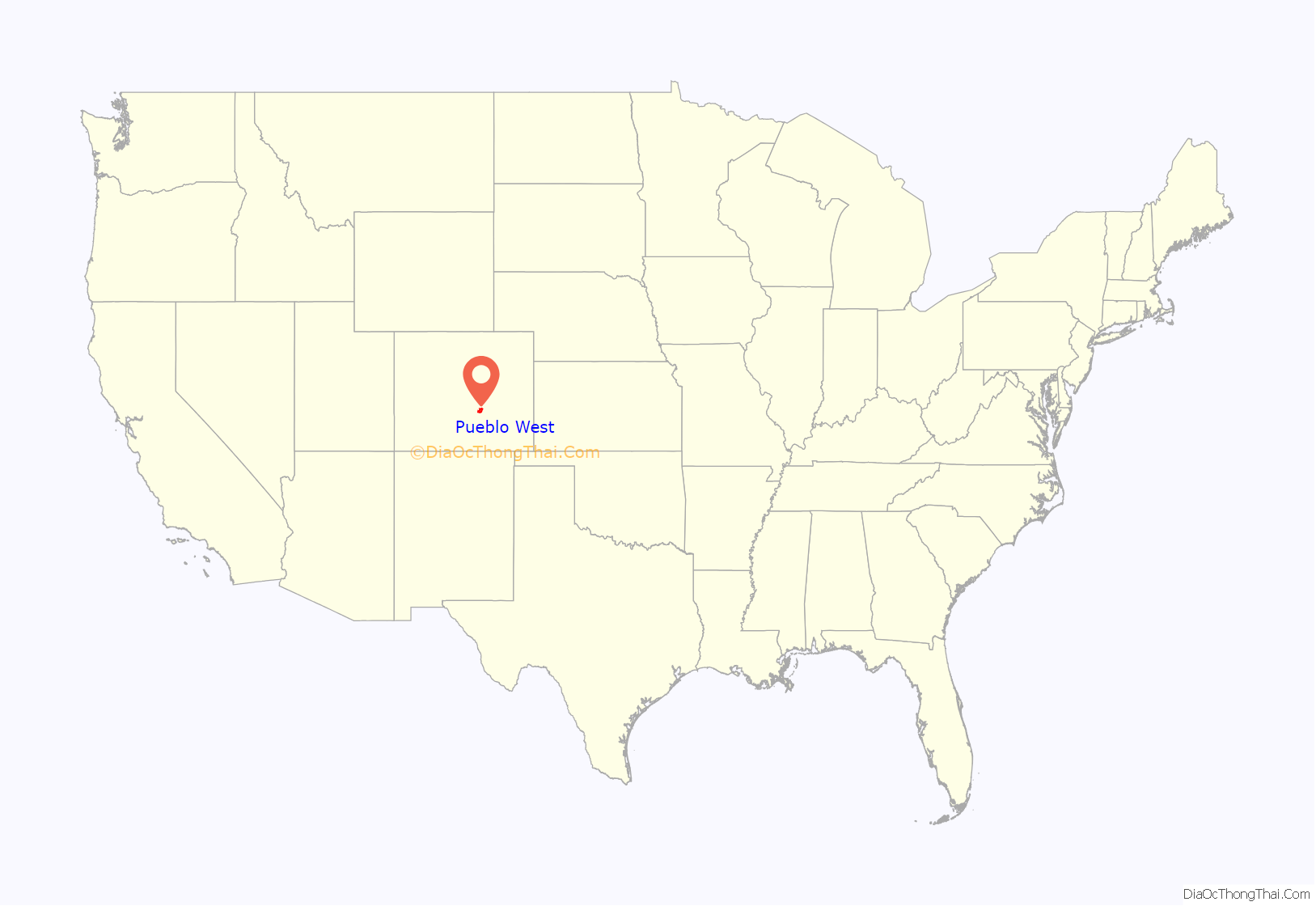
Pueblo West location map. Where is Pueblo West CDP?
History
The area that is now known as Pueblo West was undeveloped rangeland before Robert P. McCulloch, land developer and oil magnate, and his company McCulloch Properties, Inc. came to Colorado. Historically occupied by Ute and Comanche people, most recently the land was used for ranching, supported by the water from the Arkansas River. Receiving inspiration from the neighboring City of Pueblo, Colorado and the momentum of successfully creating Lake Havasu City, Arizona, McCulloch and his company formally founded the Pueblo West Metropolitan District (the District) on September 16, 1969. Not long after the creation of the District, McCulloch built the Pueblo West Inn where guests were treated to a luxurious experience in an effort to sell land in the rolling prairies of the new community. The Pueblo West News, the District’s first newspaper, reported by 1974 over 2,000 new residents had moved into Pueblo West, and Pueblo School District 70 founded Pueblo West Elementary with 200 students enrolling in the fall. In 1977 McCulloch Properties pleaded guilty to criminal fraud for large‐scale land sales misrepresentation and was forced to refund dissatisfied customers. By 2001 Pueblo West was growing too fast to keep up with its water needs, so it bought an upstream ranch, along with its water rights.
Since the 1970s, recreational and industrial opportunities were also being founded on Pueblo West property, including the South Equestrian Center, National Horseman’s Arena, the Pueblo West Golf and Tennis Club, and manufacturing company Aspen Skiwear, all making use of the area’s expansive plains for their ventures. Pueblo West boasted a population of nearly 4,500 by the early 1980s, requiring the building of Pueblo West Middle School. With developmental opportunities abounding in the North Industrial Park, the economy of the District was growing right alongside its residential areas. Following a population boom in the 1990s, several new elementary schools were built, with Pueblo West High School officially opening in 1996. In the early 2000s, a trail system was laid for the enjoyment of the residents, along with an additional fire station being built to serve the north side of the District. Pueblo West also entered into the Southern Delivery System, a bilateral agreement to supply water from the Pueblo Reservoir to Colorado Springs. Today, Pueblo West is home to over 30,000 residents and boasts a growing industrial center.
In January 2019, the Pueblo West Metro District Board initiated a feasibility study regarding incorporation.
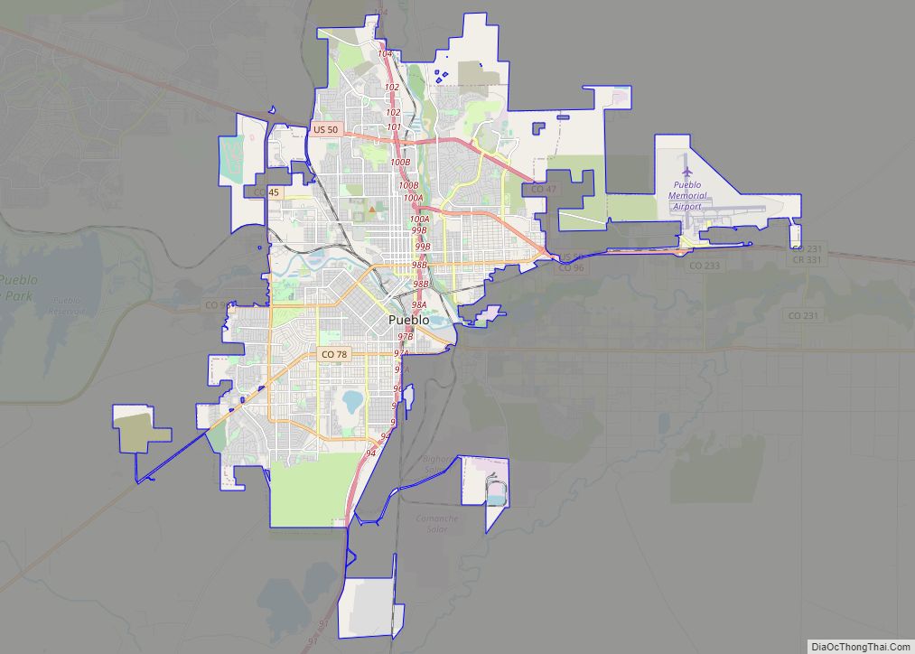
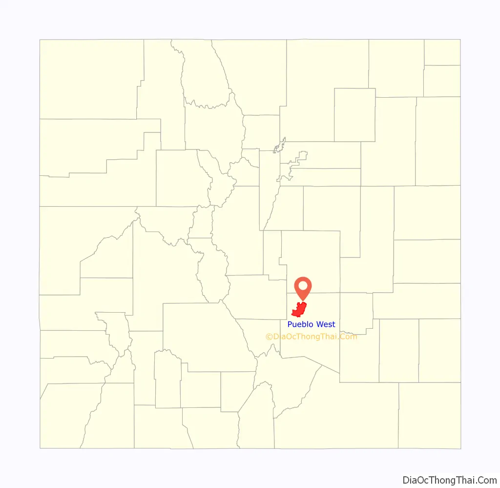
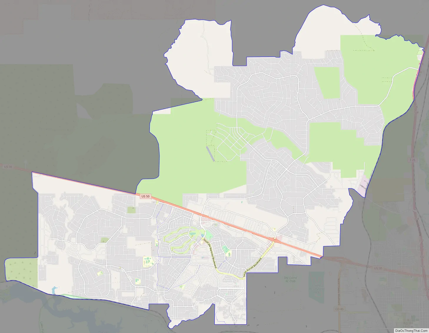
Pueblo West Road Map
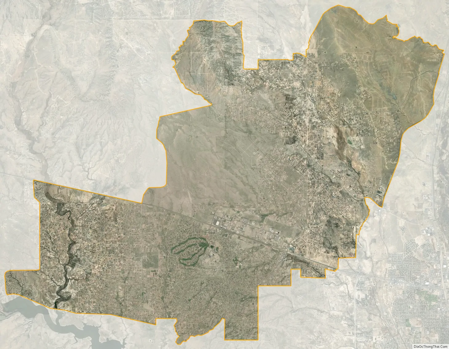
Pueblo West city Satellite Map
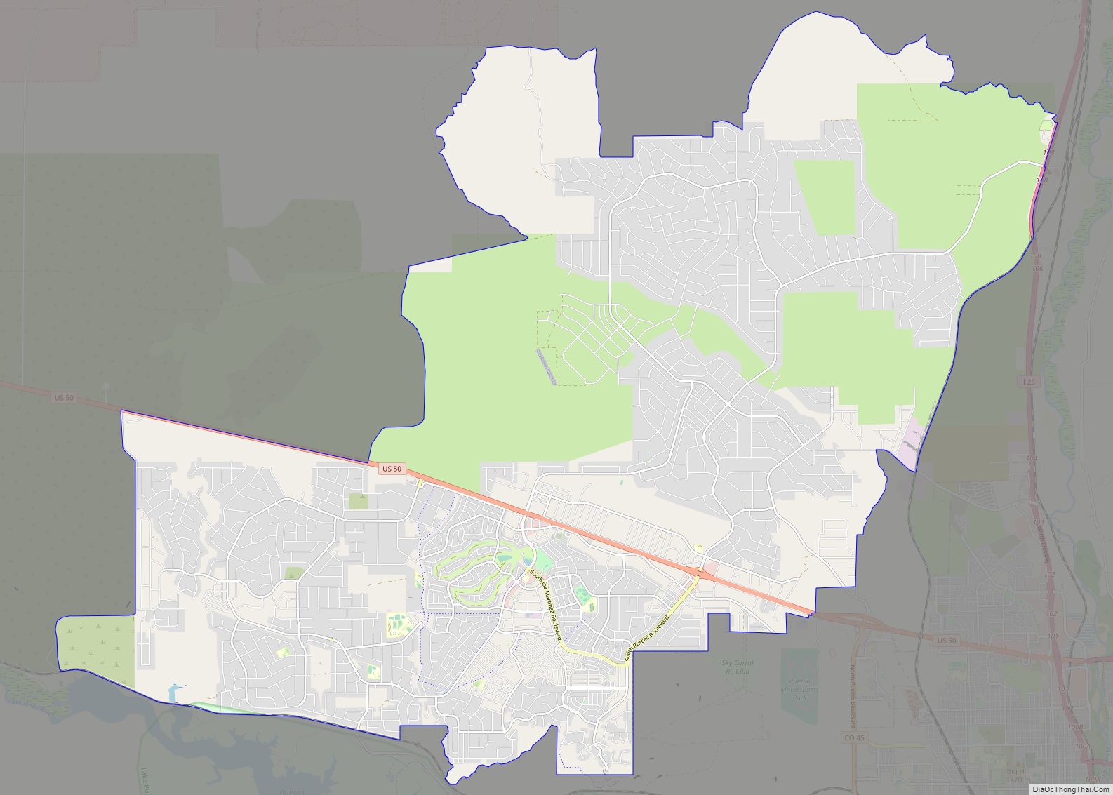
Geography
Pueblo West is approximately 49 square miles in size, and is located along the southern edge of the state’s major growth corridor. Situated on Highway 50, roughly 7 miles west of the City of Pueblo and 38 miles east of Cañon City, Pueblo West is bisected by U.S. Route 50, and its north eastern border is adjacent to Interstate 25. Lake Pueblo State Park is situated along the southern boundary of Pueblo West, and the remainder of the community is mostly landlocked by ranch land, conservation easements, and private property.
The Pueblo West CDP has an area of 31,813 acres (128.744 km), including 13 acres (0.052 km) of water.
Climate
Pueblo West, located in Southern Colorado, boasts nearly 300 days of sunshine a year. Spring temperatures typically fluctuate between mid 60 degrees Fahrenheit during the day to mid 30 °F or cooler during the night, and the season also tends to be windy. Summer temperatures average in the 80s-90s °F range, but during the night can drop well into the 30s.
See also
Map of Colorado State and its subdivision:- Adams
- Alamosa
- Arapahoe
- Archuleta
- Baca
- Bent
- Boulder
- Broomfield
- Chaffee
- Cheyenne
- Clear Creek
- Conejos
- Costilla
- Crowley
- Custer
- Delta
- Denver
- Dolores
- Douglas
- Eagle
- El Paso
- Elbert
- Fremont
- Garfield
- Gilpin
- Grand
- Gunnison
- Hinsdale
- Huerfano
- Jackson
- Jefferson
- Kiowa
- Kit Carson
- La Plata
- Lake
- Larimer
- Las Animas
- Lincoln
- Logan
- Mesa
- Mineral
- Moffat
- Montezuma
- Montrose
- Morgan
- Otero
- Ouray
- Park
- Phillips
- Pitkin
- Prowers
- Pueblo
- Rio Blanco
- Rio Grande
- Routt
- Saguache
- San Juan
- San Miguel
- Sedgwick
- Summit
- Teller
- Washington
- Weld
- Yuma
- Alabama
- Alaska
- Arizona
- Arkansas
- California
- Colorado
- Connecticut
- Delaware
- District of Columbia
- Florida
- Georgia
- Hawaii
- Idaho
- Illinois
- Indiana
- Iowa
- Kansas
- Kentucky
- Louisiana
- Maine
- Maryland
- Massachusetts
- Michigan
- Minnesota
- Mississippi
- Missouri
- Montana
- Nebraska
- Nevada
- New Hampshire
- New Jersey
- New Mexico
- New York
- North Carolina
- North Dakota
- Ohio
- Oklahoma
- Oregon
- Pennsylvania
- Rhode Island
- South Carolina
- South Dakota
- Tennessee
- Texas
- Utah
- Vermont
- Virginia
- Washington
- West Virginia
- Wisconsin
- Wyoming