Rollinsville is a census-designated place (CDP) and post office in and governed by Gilpin County, Colorado, United States. The CDP is a part of the Denver–Aurora–Lakewood, CO Metropolitan Statistical Area. The Rollinsville post office has the ZIP Code 80474 (post office boxes). At the United States Census 2020, the population of the Rollinsville CDP was 194.
| Name: | Rollinsville CDP |
|---|---|
| LSAD Code: | 57 |
| LSAD Description: | CDP (suffix) |
| State: | Colorado |
| County: | Gilpin County |
| Elevation: | 8,671 ft (2,643 m) |
| Total Area: | 1.412 sq mi (3.658 km²) |
| Land Area: | 1.412 sq mi (3.658 km²) |
| Water Area: | 0.000 sq mi (0.000 km²) |
| Total Population: | 194 |
| Population Density: | 140/sq mi (53/km²) |
| ZIP code: | 80474 |
| FIPS code: | 0865685 |
Online Interactive Map
Click on ![]() to view map in "full screen" mode.
to view map in "full screen" mode.
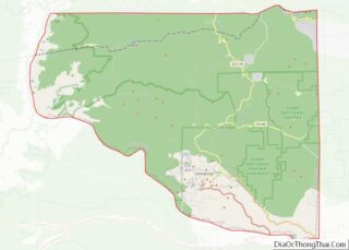
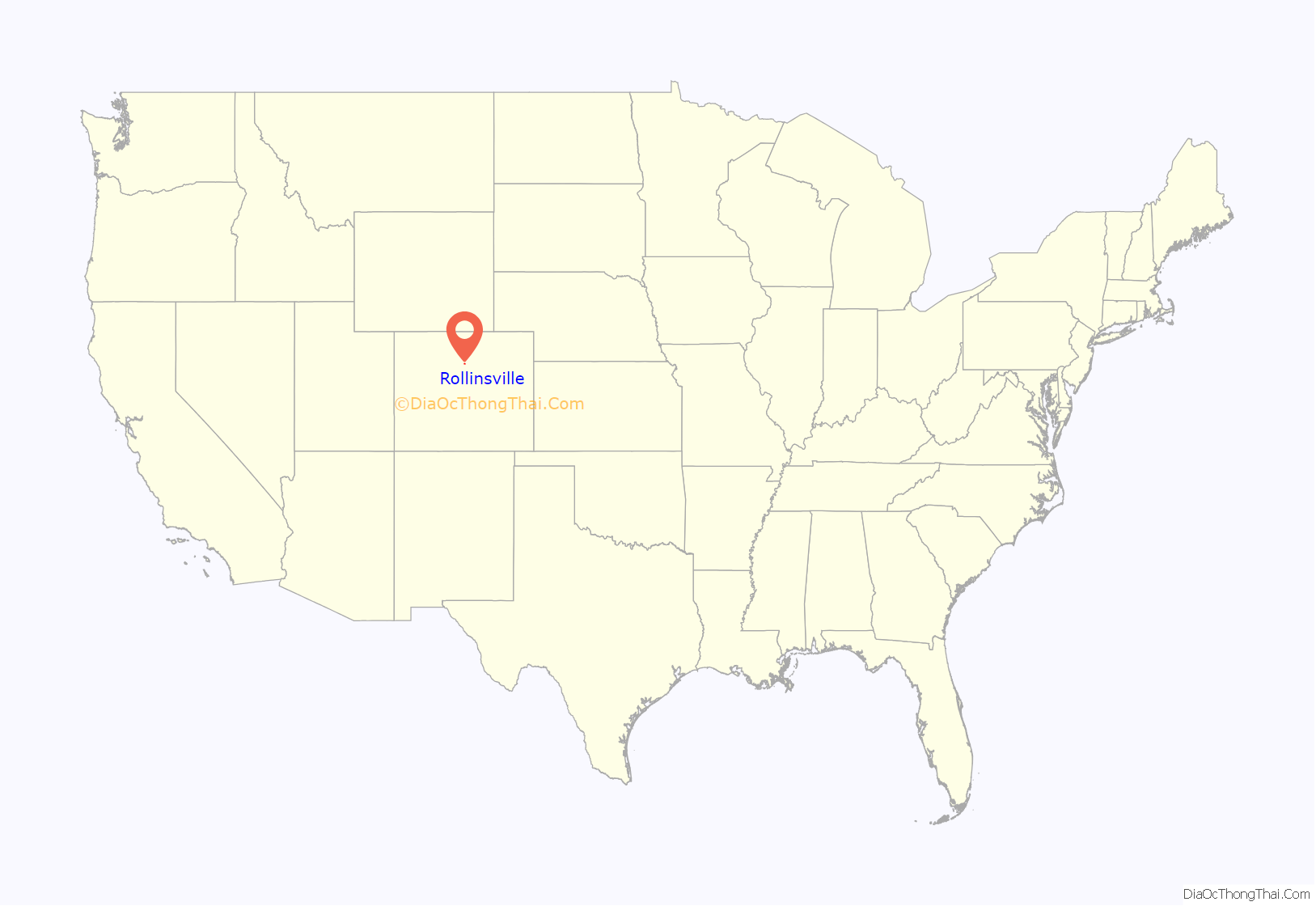
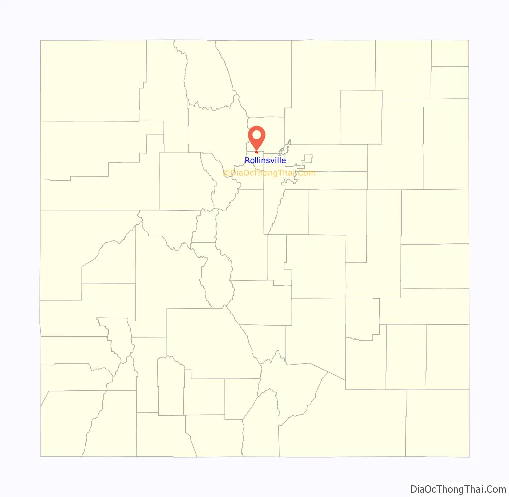
Rollinsville location map. Where is Rollinsville CDP?
History
The Rollinsville Post Office has been in operation since 1871. The community was named for John Q. A. Rollins, a prominent mining executive in Gilpin County in the 1860s and 1870s.
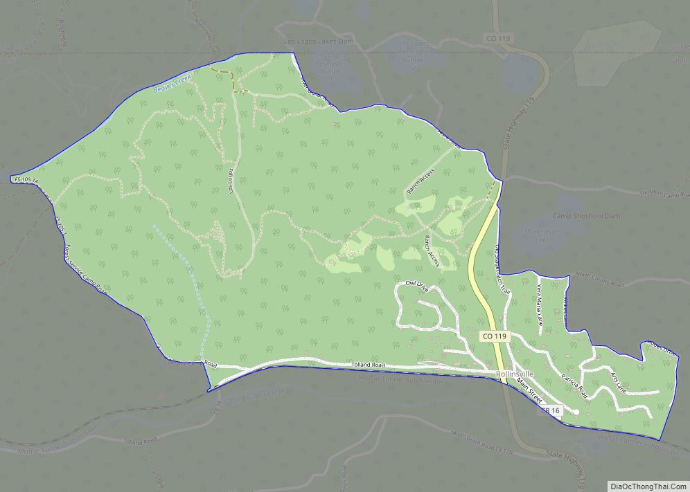
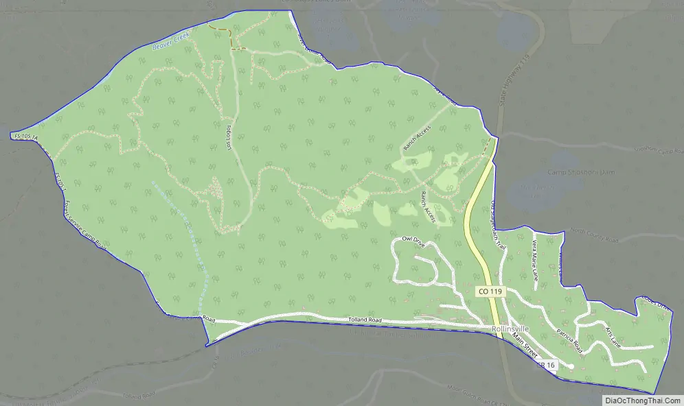
Rollinsville Road Map
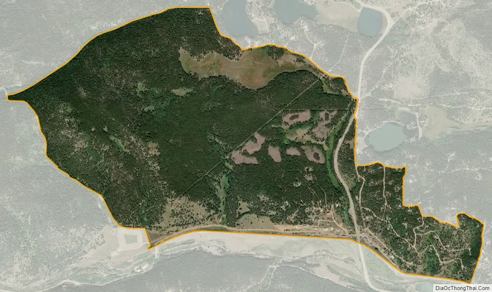
Rollinsville city Satellite Map
Geography
Rollinsville is located in the mountains southwest of the city of Boulder, on the flank of a hill above South Boulder Creek along State Highway 119 between Nederland and Black Hawk. It consists of a small cluster of residences and several businesses at the terminus of the road leading westward up to Rollins Pass at the summit of the Front Range.
The South Boulder Creek flows just south of the town. The creek follows the railroad tracks into a small canyon and emerges near the Boulder/Gilpin county border before flowing through Pinecliffe.
The Rollinsville CDP has an area of 904 acres (3.658 km), all land.
See also
Map of Colorado State and its subdivision:- Adams
- Alamosa
- Arapahoe
- Archuleta
- Baca
- Bent
- Boulder
- Broomfield
- Chaffee
- Cheyenne
- Clear Creek
- Conejos
- Costilla
- Crowley
- Custer
- Delta
- Denver
- Dolores
- Douglas
- Eagle
- El Paso
- Elbert
- Fremont
- Garfield
- Gilpin
- Grand
- Gunnison
- Hinsdale
- Huerfano
- Jackson
- Jefferson
- Kiowa
- Kit Carson
- La Plata
- Lake
- Larimer
- Las Animas
- Lincoln
- Logan
- Mesa
- Mineral
- Moffat
- Montezuma
- Montrose
- Morgan
- Otero
- Ouray
- Park
- Phillips
- Pitkin
- Prowers
- Pueblo
- Rio Blanco
- Rio Grande
- Routt
- Saguache
- San Juan
- San Miguel
- Sedgwick
- Summit
- Teller
- Washington
- Weld
- Yuma
- Alabama
- Alaska
- Arizona
- Arkansas
- California
- Colorado
- Connecticut
- Delaware
- District of Columbia
- Florida
- Georgia
- Hawaii
- Idaho
- Illinois
- Indiana
- Iowa
- Kansas
- Kentucky
- Louisiana
- Maine
- Maryland
- Massachusetts
- Michigan
- Minnesota
- Mississippi
- Missouri
- Montana
- Nebraska
- Nevada
- New Hampshire
- New Jersey
- New Mexico
- New York
- North Carolina
- North Dakota
- Ohio
- Oklahoma
- Oregon
- Pennsylvania
- Rhode Island
- South Carolina
- South Dakota
- Tennessee
- Texas
- Utah
- Vermont
- Virginia
- Washington
- West Virginia
- Wisconsin
- Wyoming