Superior is a statutory town in Boulder County, Colorado, United States, with a small, uninhabited segment of land area extending into Jefferson County. According to the 2020 census, the population of the city was 13,094.
| Name: | Superior town |
|---|---|
| LSAD Code: | 43 |
| LSAD Description: | town (suffix) |
| State: | Colorado |
| County: | Boulder County, Jefferson County |
| Founded: | 1896 |
| Incorporated: | June 10, 1904 |
| Elevation: | 5,495 ft (1,675 m) |
| Total Area: | 3.96 sq mi (10.27 km²) |
| Land Area: | 3.93 sq mi (10.17 km²) |
| Water Area: | 0.04 sq mi (0.10 km²) |
| Total Population: | 13,094 |
| Population Density: | 3,300/sq mi (1,300/km²) |
| ZIP code: | 80027 |
| Area code: | Both 303 and 720 |
| FIPS code: | 0875640 |
Online Interactive Map
Click on ![]() to view map in "full screen" mode.
to view map in "full screen" mode.
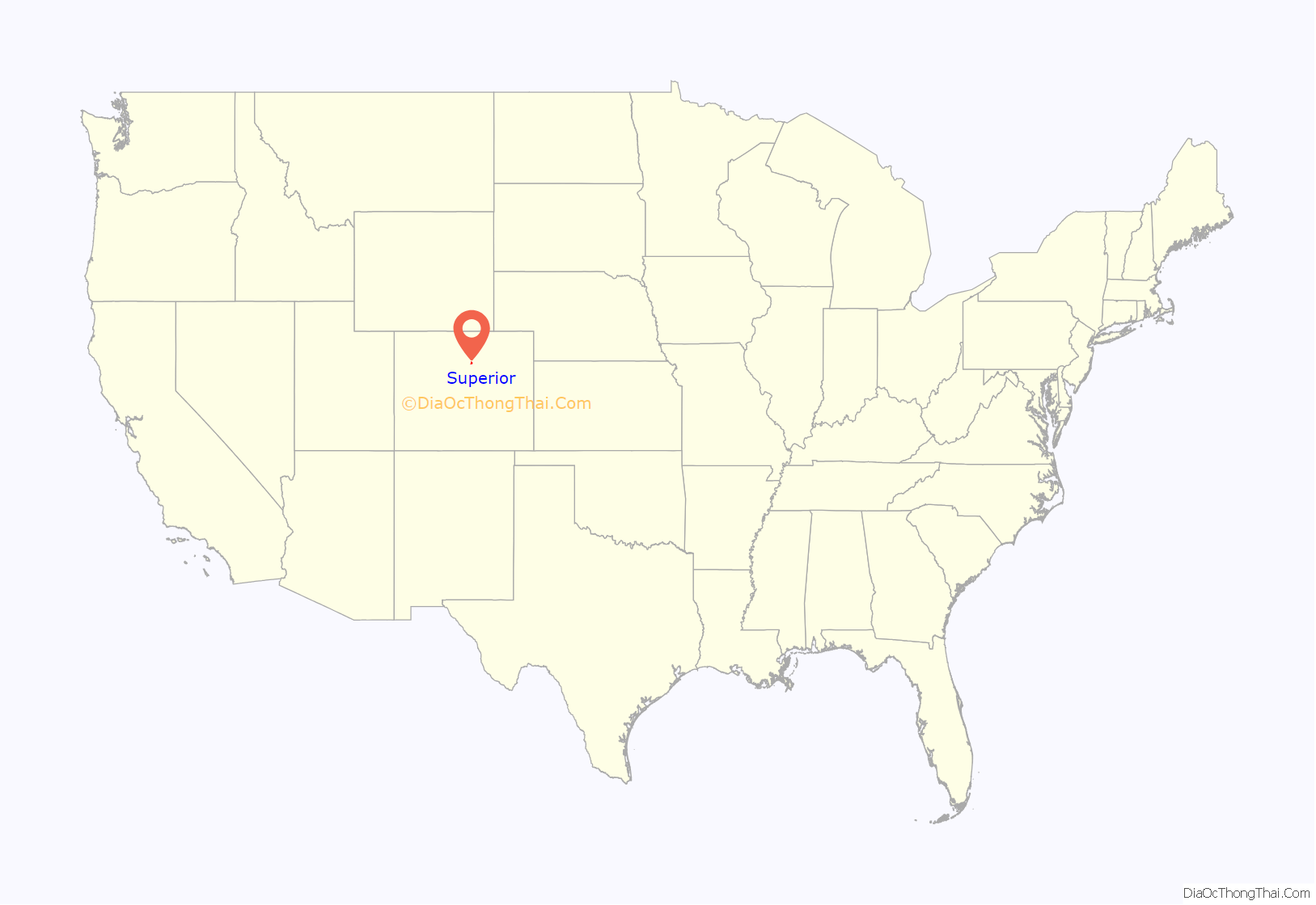
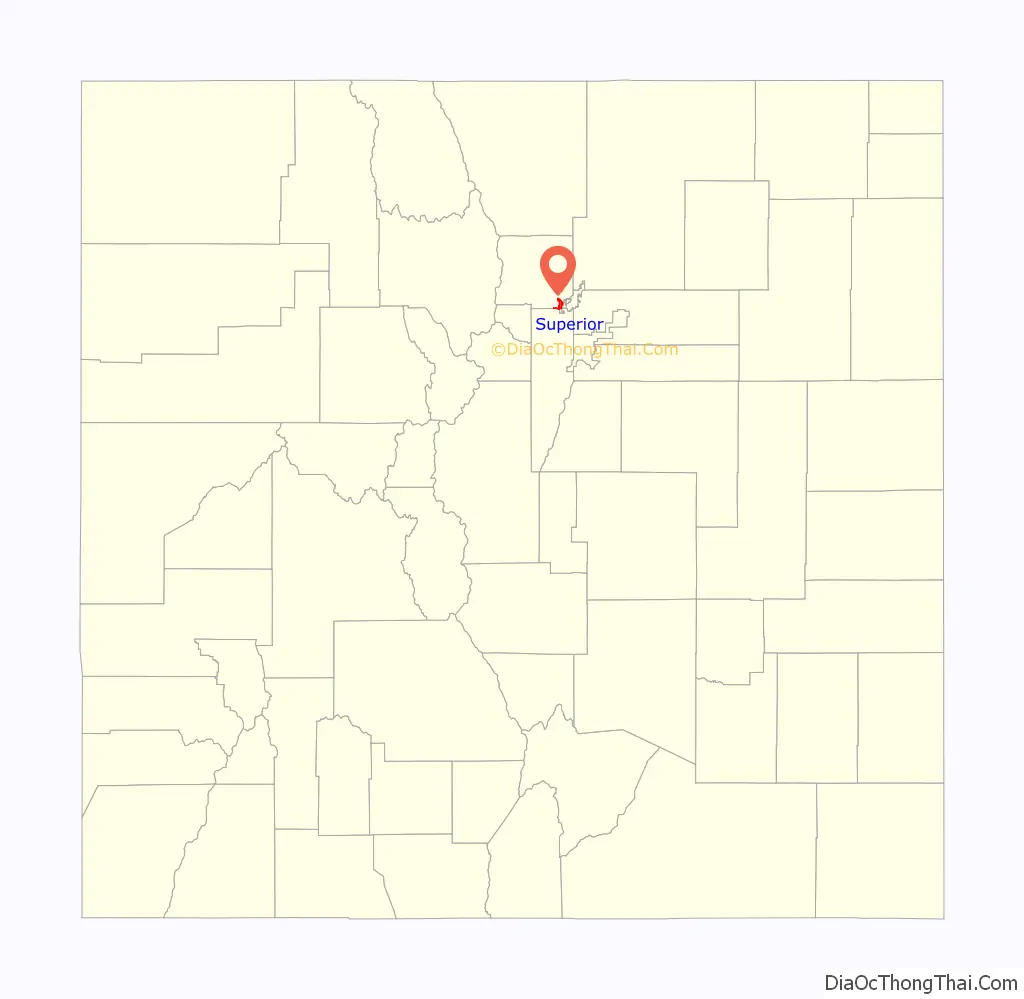
Superior location map. Where is Superior town?
History
Superior’s history is one of coal mining. The first mines in the area were developed in the late 19th century. Coal was discovered on the Hake family farm in 1894, and recollections of members of pioneer families in Superior, including the Hakes and Autreys, are preserved as part of the Maria Rogers Oral History Program at the Carnegie Library for Local History in Boulder, Colorado. The town was reportedly named after its superior quality of coal.
Mining was the major force in Superior’s history until the Industrial Mine closed in 1945. Subsequently, many people moved out of the area and the Town evolved into a quiet ranching and farming community. Superior’s population hovered around 250 until the late 1990s, when subdivisions were built in the town and the population rose dramatically to 9,011 by 2000.
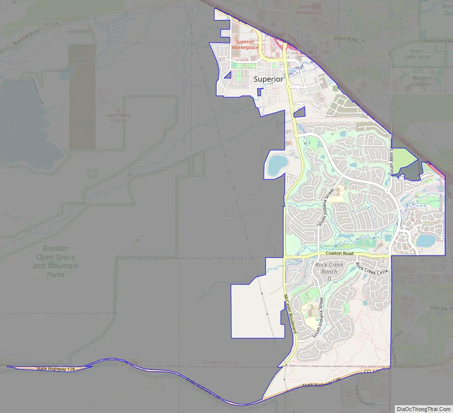
Superior Road Map
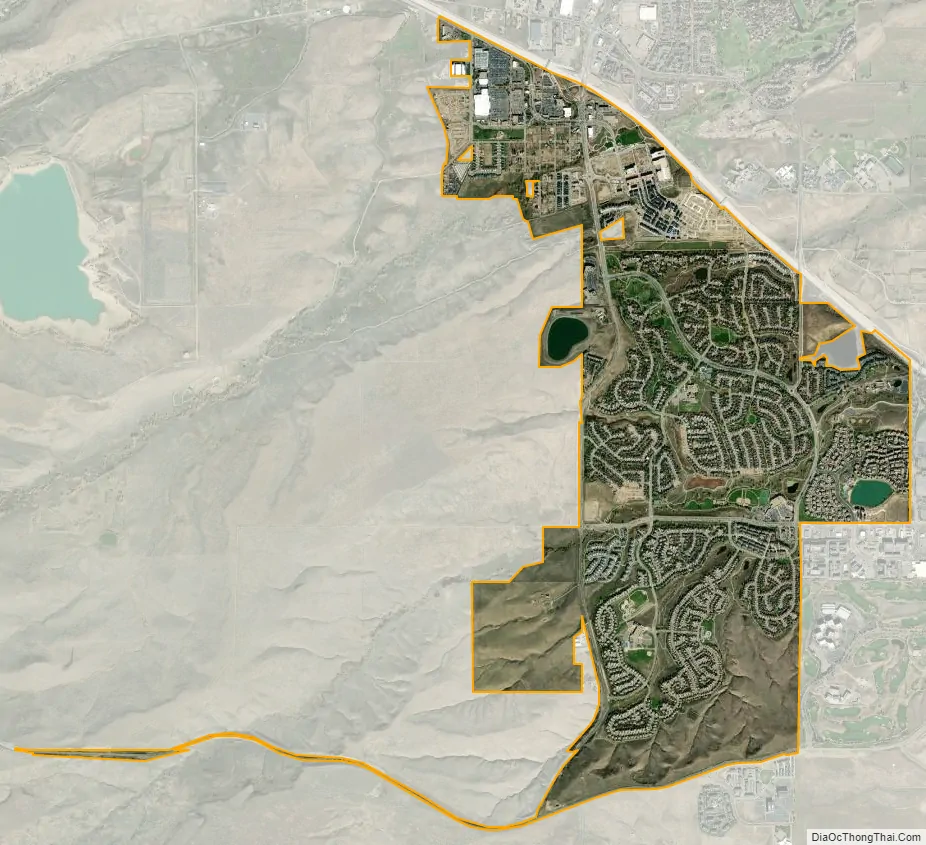
Superior city Satellite Map
Geography
Superior is located at 39°55′52″N 105°09′33″W / 39.93111°N 105.15917°W / 39.93111; -105.15917 (39.93119, −105.159085), about 15 minutes from downtown Boulder, 30 minutes from downtown Denver, and 35 minutes from Denver International Airport, and easy access to extensive regional open space and trail systems. It is bordered by the city of Louisville to the northeast, the city of Broomfield to the east and south, Rocky Flats National Wildlife Refuge to the south, and Boulder County open space to the west. U.S. Highway 36, also known as the Denver-Boulder Turnpike, runs along the northeast boundary of the town, and Colorado Route 128A runs along the south.
According to the United States Census Bureau as of 2021, Superior has a total area of 3.972 sq mi (10.29 km), of which 3.933 sq mi (10.186 km) is land and 0.039 sq mi (0.101 km) is water.
See also
Map of Colorado State and its subdivision:- Adams
- Alamosa
- Arapahoe
- Archuleta
- Baca
- Bent
- Boulder
- Broomfield
- Chaffee
- Cheyenne
- Clear Creek
- Conejos
- Costilla
- Crowley
- Custer
- Delta
- Denver
- Dolores
- Douglas
- Eagle
- El Paso
- Elbert
- Fremont
- Garfield
- Gilpin
- Grand
- Gunnison
- Hinsdale
- Huerfano
- Jackson
- Jefferson
- Kiowa
- Kit Carson
- La Plata
- Lake
- Larimer
- Las Animas
- Lincoln
- Logan
- Mesa
- Mineral
- Moffat
- Montezuma
- Montrose
- Morgan
- Otero
- Ouray
- Park
- Phillips
- Pitkin
- Prowers
- Pueblo
- Rio Blanco
- Rio Grande
- Routt
- Saguache
- San Juan
- San Miguel
- Sedgwick
- Summit
- Teller
- Washington
- Weld
- Yuma
- Alabama
- Alaska
- Arizona
- Arkansas
- California
- Colorado
- Connecticut
- Delaware
- District of Columbia
- Florida
- Georgia
- Hawaii
- Idaho
- Illinois
- Indiana
- Iowa
- Kansas
- Kentucky
- Louisiana
- Maine
- Maryland
- Massachusetts
- Michigan
- Minnesota
- Mississippi
- Missouri
- Montana
- Nebraska
- Nevada
- New Hampshire
- New Jersey
- New Mexico
- New York
- North Carolina
- North Dakota
- Ohio
- Oklahoma
- Oregon
- Pennsylvania
- Rhode Island
- South Carolina
- South Dakota
- Tennessee
- Texas
- Utah
- Vermont
- Virginia
- Washington
- West Virginia
- Wisconsin
- Wyoming


