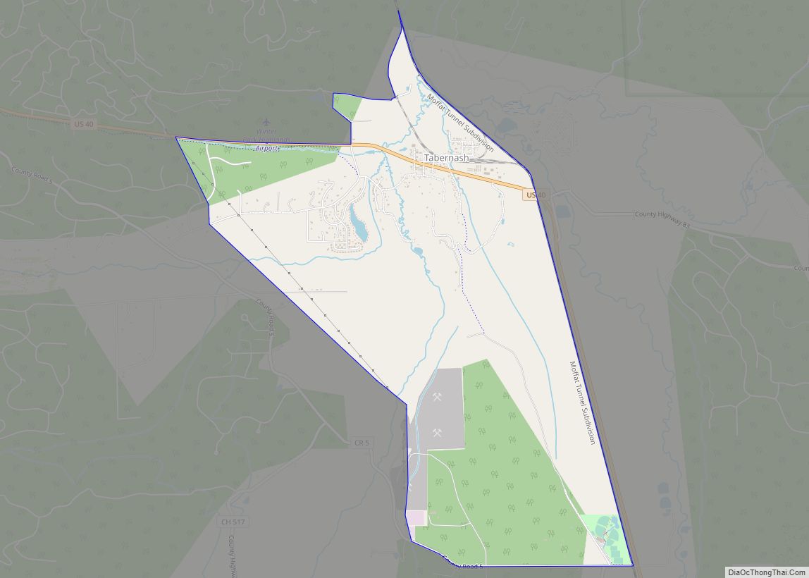
Tabernash is an unincorporated town, a post office, and a census-designated place (CDP) located in and governed by Grand County, Colorado, United States. The Tabernash post office has the ZIP Code 80478. At the United States Census 2020, the population of the Tabernash CDP was 401.
| Name: | Tabernash CDP |
|---|---|
| LSAD Code: | 57 |
| LSAD Description: | CDP (suffix) |
| State: | Colorado |
| County: | Grand County |
| Elevation: | 8,405 ft (2,562 m) |
| Total Area: | 4.747 sq mi (12.295 km²) |
| Land Area: | 4.747 sq mi (12.295 km²) |
| Water Area: | 0.000 sq mi (0.000 km²) |
| Total Population: | 401 |
| Population Density: | 84/sq mi (33/km²) |
| ZIP code: | 80478 |
| Area code: | 970 |
| FIPS code: | 0876190 |
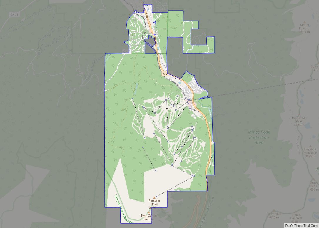
Online Interactive Map
Click on ![]() to view map in "full screen" mode.
to view map in "full screen" mode.
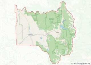
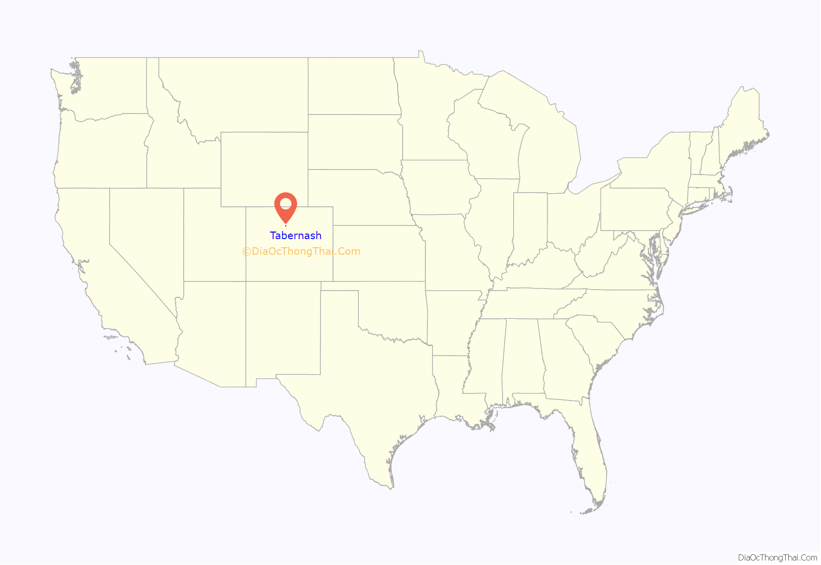
Tabernash location map. Where is Tabernash CDP?

History
The Tabernash Post Office has been in operation since 1905. The community has the name of a Ute Indian.
1984 airplane crash
On August 10, 1984, a Cessna L-19 Bird Dog (registration N4584A), piloted by James Jeb Caddell, 36, crashed in a forest near Tabernash. The aircraft was en route from Granby to Jeffco Airport, Colorado. The wreckage was found by backpackers three years later on August 23, 1987. A 6½ minute video shot from a VHS camcorder mounted on the instrument panel was found at the site. The heavily damaged tape, some of it hanging from tree branches, was recovered and repaired by Colorado deputy sheriff Dale Wood. Subsequent analysis of the footage revealed that the pilot had not taken into account the density altitude conditions that existed on the day of the flight. The aircraft was unable to climb away from steadily rising terrain. In an attempt to return to the departure airfield, the pneumatic stall warning of the airplane sounded three times during a turn to the right. The pilot could be heard yelling, “Damn, hang on Ronnie!” to his one backseat passenger, Ronald Hugh Wilmond, 36, three seconds before impacting the terrain and trees.
The Caddells had put a 20-year moratorium (via the FAA) on the release of the film to the general public with the only stipulation that it (at the FAA’s request to the Caddells) be shown only to flight instructors at conventions and workshops. The moratorium eventually expired and was not renewed, and thus the footage became part of the public domain. The video is now viewable on YouTube.
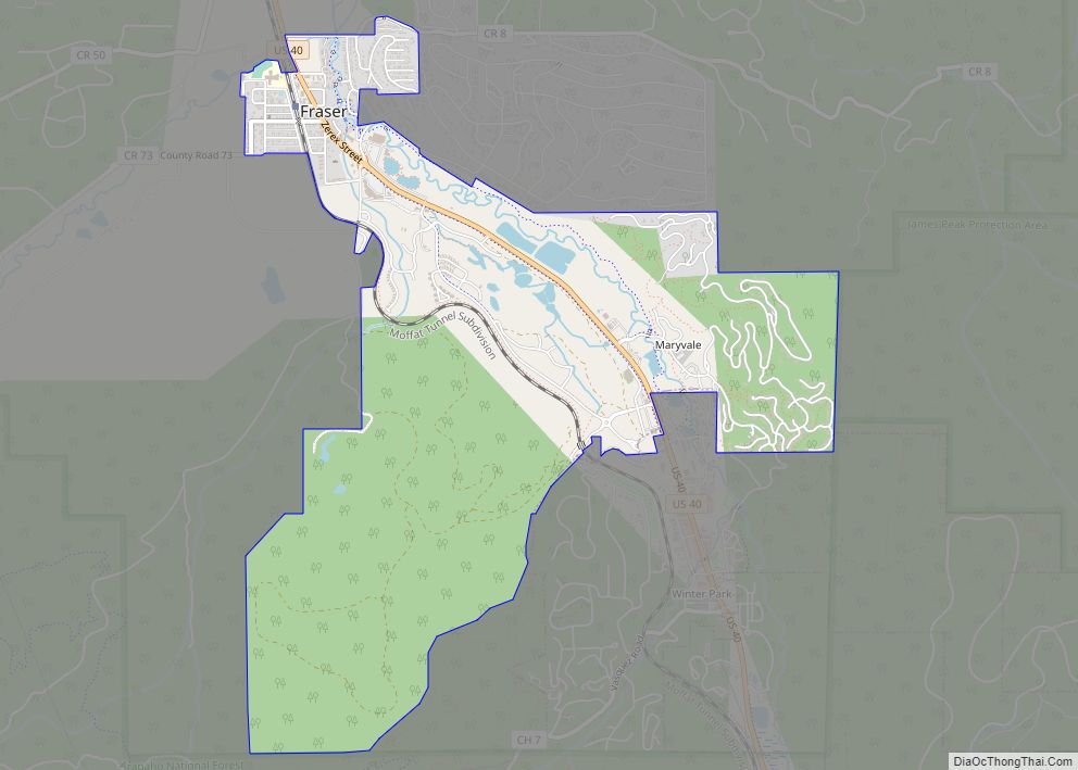
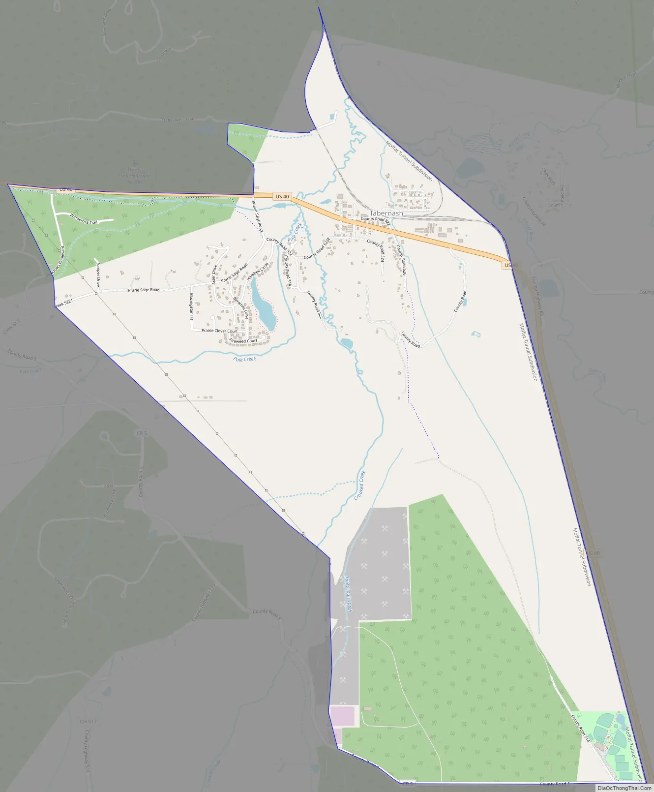
Tabernash Road Map
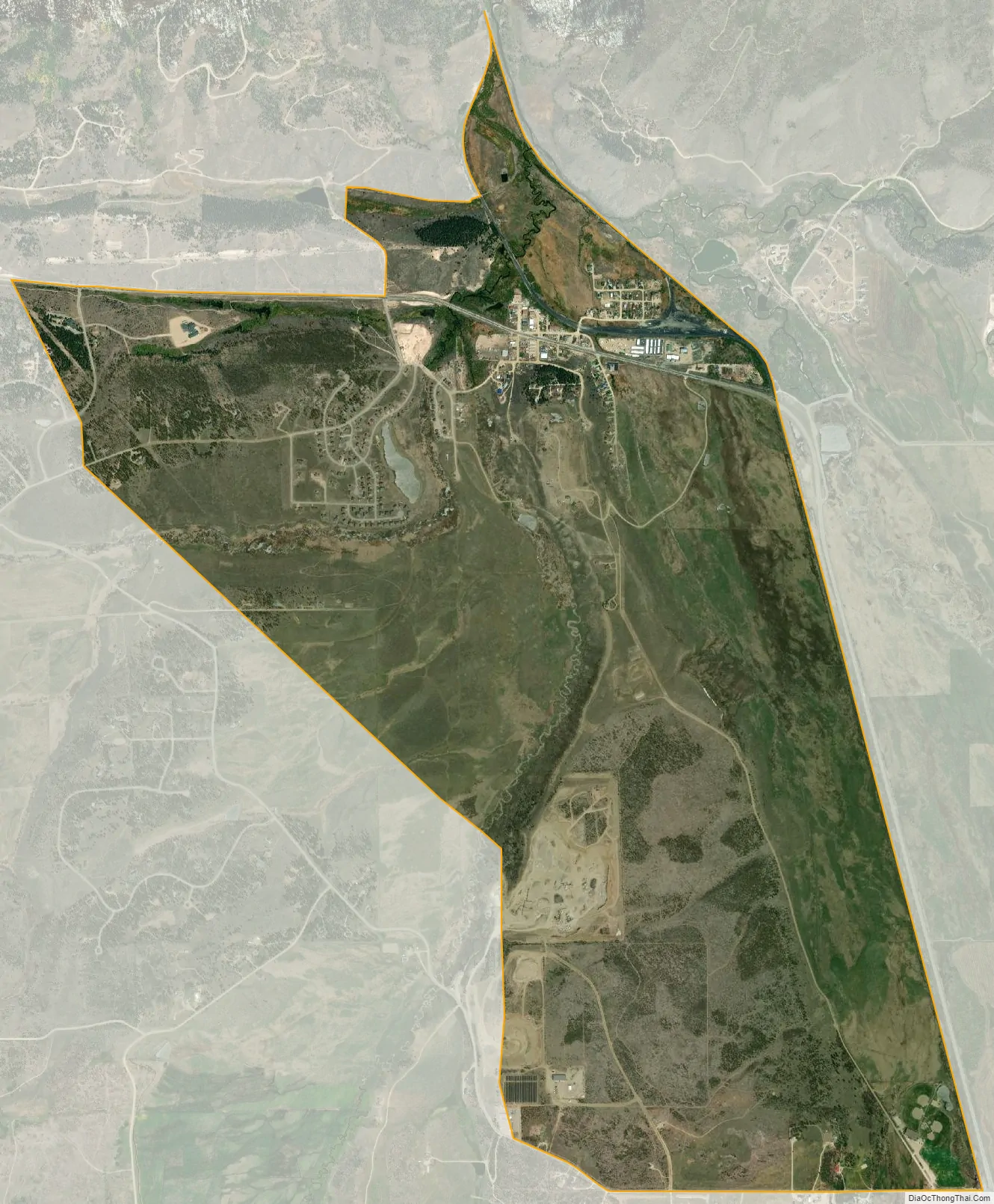
Tabernash city Satellite Map
Geography
Tabernash is located in the valley of the Fraser River. U.S. Route 40 passes through the community, leading northwest 11 miles (18 km) to Granby and southeast 9 miles (14 km) to Winter Park.
The Tabernash CDP has an area of 3,038 acres (12.295 km), all land.
Climate
This climate type is dominated by the winter season, a long, bitterly cold period with short, clear days, relatively little precipitation mostly in the form of snow, and low humidity. According to the Köppen Climate Classification system, Tabernash has a subarctic climate, abbreviated “Dfc” on climate maps.
See also
Map of Colorado State and its subdivision:- Adams
- Alamosa
- Arapahoe
- Archuleta
- Baca
- Bent
- Boulder
- Broomfield
- Chaffee
- Cheyenne
- Clear Creek
- Conejos
- Costilla
- Crowley
- Custer
- Delta
- Denver
- Dolores
- Douglas
- Eagle
- El Paso
- Elbert
- Fremont
- Garfield
- Gilpin
- Grand
- Gunnison
- Hinsdale
- Huerfano
- Jackson
- Jefferson
- Kiowa
- Kit Carson
- La Plata
- Lake
- Larimer
- Las Animas
- Lincoln
- Logan
- Mesa
- Mineral
- Moffat
- Montezuma
- Montrose
- Morgan
- Otero
- Ouray
- Park
- Phillips
- Pitkin
- Prowers
- Pueblo
- Rio Blanco
- Rio Grande
- Routt
- Saguache
- San Juan
- San Miguel
- Sedgwick
- Summit
- Teller
- Washington
- Weld
- Yuma
- Alabama
- Alaska
- Arizona
- Arkansas
- California
- Colorado
- Connecticut
- Delaware
- District of Columbia
- Florida
- Georgia
- Hawaii
- Idaho
- Illinois
- Indiana
- Iowa
- Kansas
- Kentucky
- Louisiana
- Maine
- Maryland
- Massachusetts
- Michigan
- Minnesota
- Mississippi
- Missouri
- Montana
- Nebraska
- Nevada
- New Hampshire
- New Jersey
- New Mexico
- New York
- North Carolina
- North Dakota
- Ohio
- Oklahoma
- Oregon
- Pennsylvania
- Rhode Island
- South Carolina
- South Dakota
- Tennessee
- Texas
- Utah
- Vermont
- Virginia
- Washington
- West Virginia
- Wisconsin
- Wyoming