Florida City is a city in Miami-Dade County, Florida, United States. It is the southernmost municipality in the South Florida metropolitan area. Florida City is primarily a Miami suburb and a major agricultural area. As of the 2020 census, it had a population of 13,085, up from 11,245 in 2010.
The city lies to the south and west of, and is contiguous with, Homestead. Both cities suffered catastrophic damage in August 1992 when Hurricane Andrew struck South Florida.
The city originated as a land promotion named “Detroit”. There were no buildings in the area when the first thirty families arrived in 1910, and they had to stay in Homestead until their houses could be built. The name was changed to “Florida City” when the town incorporated in 1914. It has a small historic area, but much of the city is hotels and other tourist facilities.
The city is at the eastern end of the only road running through the Everglades National Park, which terminates at Flamingo. Florida City is the southernmost city in the United States which is not on an island. It is also the last stop on the mainland north of the Florida Keys. The southern terminus of the Homestead Extension of Florida’s Turnpike where it ends at its junction with U.S. 1 is located in Florida City. Homestead is immediately north and east of Florida City, and these two cities comprise the greater Homestead-Florida City area. Some of the notable unincorporated communities in the area are Redland, Leisure City, Naranja, and Princeton.
| Name: | Florida City city |
|---|---|
| LSAD Code: | 25 |
| LSAD Description: | city (suffix) |
| State: | Florida |
| County: | Miami-Dade County |
| Incorporated: | December 29, 1914 |
| Elevation: | 5 ft (2 m) |
| Total Area: | 6.06 sq mi (15.69 km²) |
| Land Area: | 5.99 sq mi (15.51 km²) |
| Water Area: | 0.07 sq mi (0.18 km²) 0% |
| Total Population: | 13,085 |
| Population Density: | 2,184.47/sq mi (843.49/km²) |
| ZIP code: | 33034, 33035 |
| Area code: | 305, 786 |
| FIPS code: | 1222975 |
| GNISfeature ID: | 0282605 |
| Website: | www.floridacityfl.gov |
Online Interactive Map
Click on ![]() to view map in "full screen" mode.
to view map in "full screen" mode.
Florida City location map. Where is Florida City city?
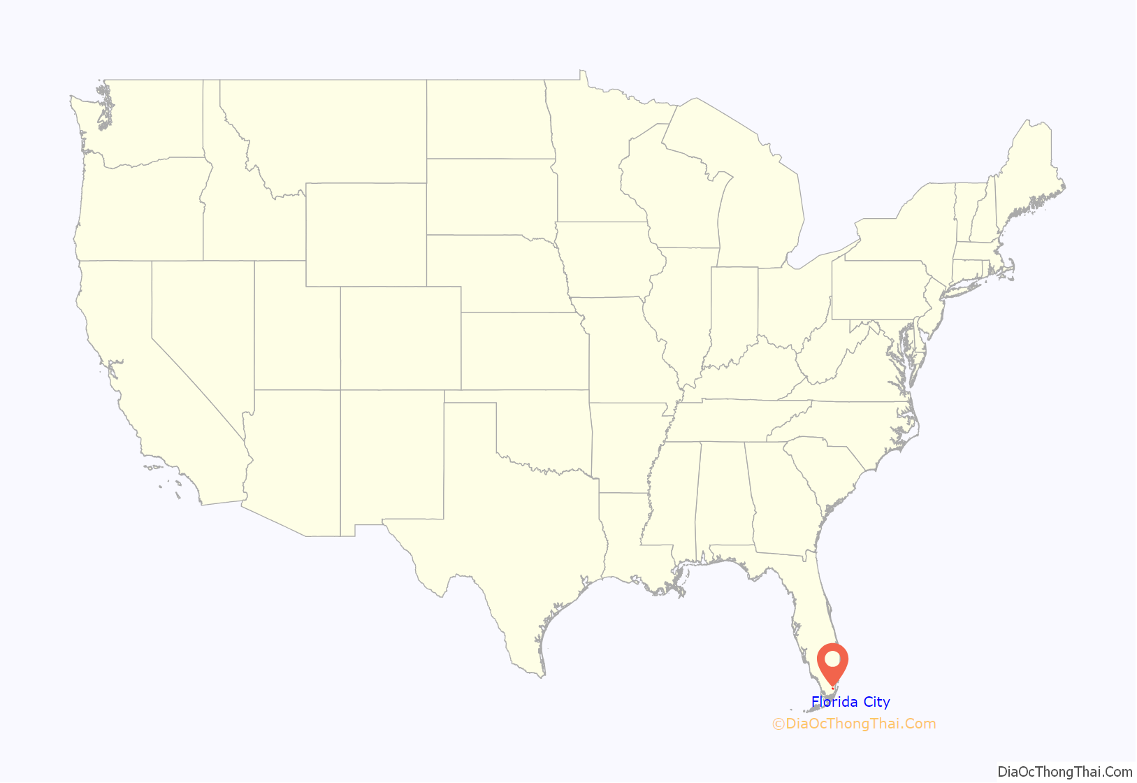

Florida City Road Map

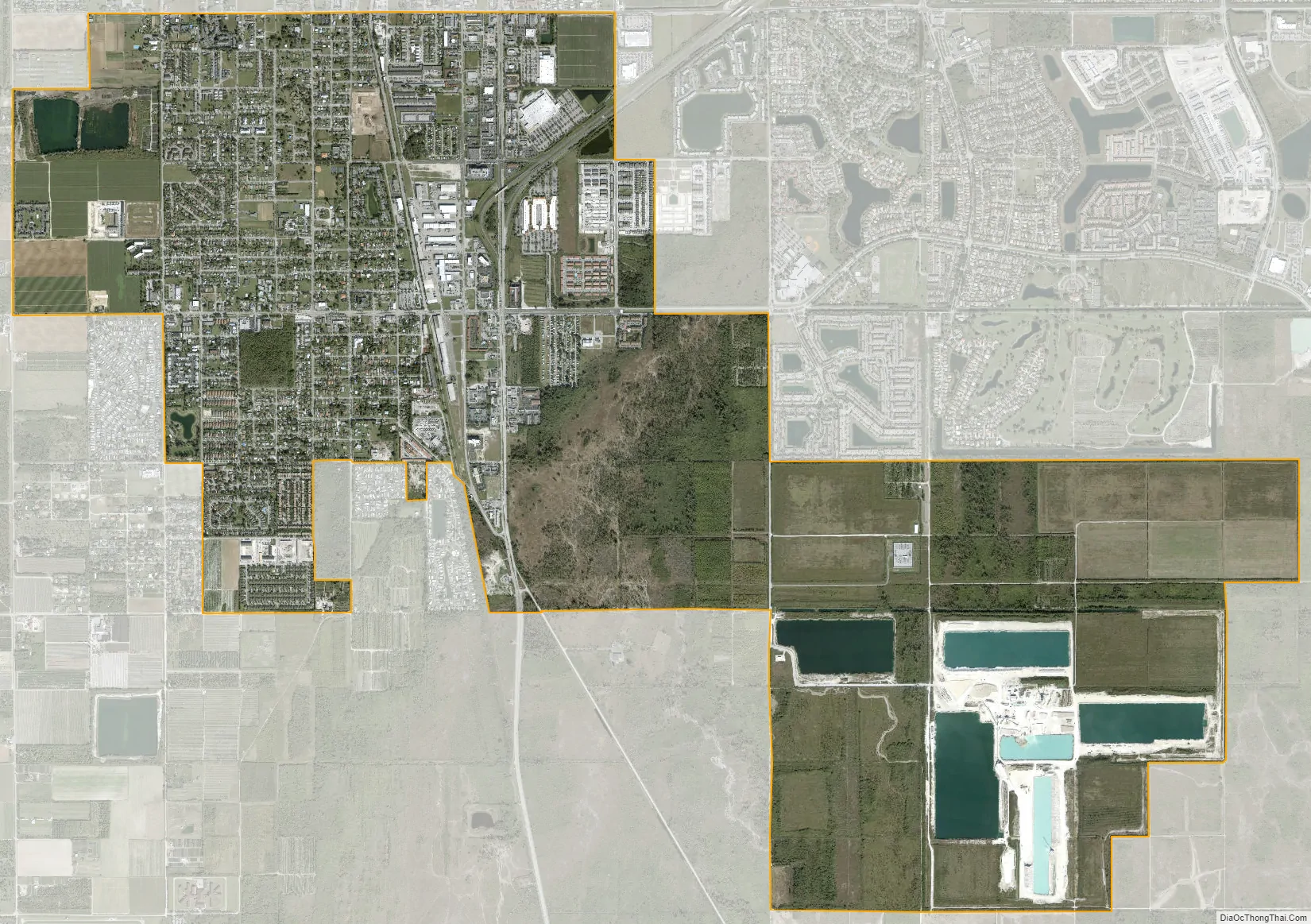
Florida City city Satellite Map
Geography
Florida City is located at 25°27′05″N 80°29′04″W / 25.451331°N 80.484383°W / 25.451331; -80.484383.
According to the United States Census Bureau, the city has a total area of 6.1 square miles (16 km), of which 0.07 square miles (0.18 km), or 1.14%, are water.
See also
Map of Florida State and its subdivision:- Alachua
- Baker
- Bay
- Bradford
- Brevard
- Broward
- Calhoun
- Charlotte
- Citrus
- Clay
- Collier
- Columbia
- Desoto
- Dixie
- Duval
- Escambia
- Flagler
- Franklin
- Gadsden
- Gilchrist
- Glades
- Gulf
- Hamilton
- Hardee
- Hendry
- Hernando
- Highlands
- Hillsborough
- Holmes
- Indian River
- Jackson
- Jefferson
- Lafayette
- Lake
- Lee
- Leon
- Levy
- Liberty
- Madison
- Manatee
- Marion
- Martin
- Miami-Dade
- Monroe
- Nassau
- Okaloosa
- Okeechobee
- Orange
- Osceola
- Palm Beach
- Pasco
- Pinellas
- Polk
- Putnam
- Saint Johns
- Saint Lucie
- Santa Rosa
- Sarasota
- Seminole
- Sumter
- Suwannee
- Taylor
- Union
- Volusia
- Wakulla
- Walton
- Washington
- Alabama
- Alaska
- Arizona
- Arkansas
- California
- Colorado
- Connecticut
- Delaware
- District of Columbia
- Florida
- Georgia
- Hawaii
- Idaho
- Illinois
- Indiana
- Iowa
- Kansas
- Kentucky
- Louisiana
- Maine
- Maryland
- Massachusetts
- Michigan
- Minnesota
- Mississippi
- Missouri
- Montana
- Nebraska
- Nevada
- New Hampshire
- New Jersey
- New Mexico
- New York
- North Carolina
- North Dakota
- Ohio
- Oklahoma
- Oregon
- Pennsylvania
- Rhode Island
- South Carolina
- South Dakota
- Tennessee
- Texas
- Utah
- Vermont
- Virginia
- Washington
- West Virginia
- Wisconsin
- Wyoming


