Lauderdale Lakes, officially the City of Lauderdale Lakes, is a city in Broward County, Florida, United States. As of the 2020 United States Census, the city’s population was 35,954. It is part of the Miami–Fort Lauderdale–West Palm Beach Metropolitan Statistical Area, which is home to 5,564,635 people.
| Name: | Lauderdale Lakes city |
|---|---|
| LSAD Code: | 25 |
| LSAD Description: | city (suffix) |
| State: | Florida |
| County: | Broward County |
| Incorporated: | June 22, 1961 |
| Elevation: | 9 ft (2 m) |
| Land Area: | 3.68 sq mi (9.53 km²) |
| Water Area: | 0.05 sq mi (0.12 km²) 1.37% |
| Population Density: | 9,767.45/sq mi (3,771.49/km²) |
| ZIP code: | 33309, 33311, 33313, 33319 |
| Area code: | 754, 954 |
| FIPS code: | 1239525 |
| GNISfeature ID: | 0285365 |
| Website: | http://www.lauderdalelakes.org |
Online Interactive Map
Click on ![]() to view map in "full screen" mode.
to view map in "full screen" mode.
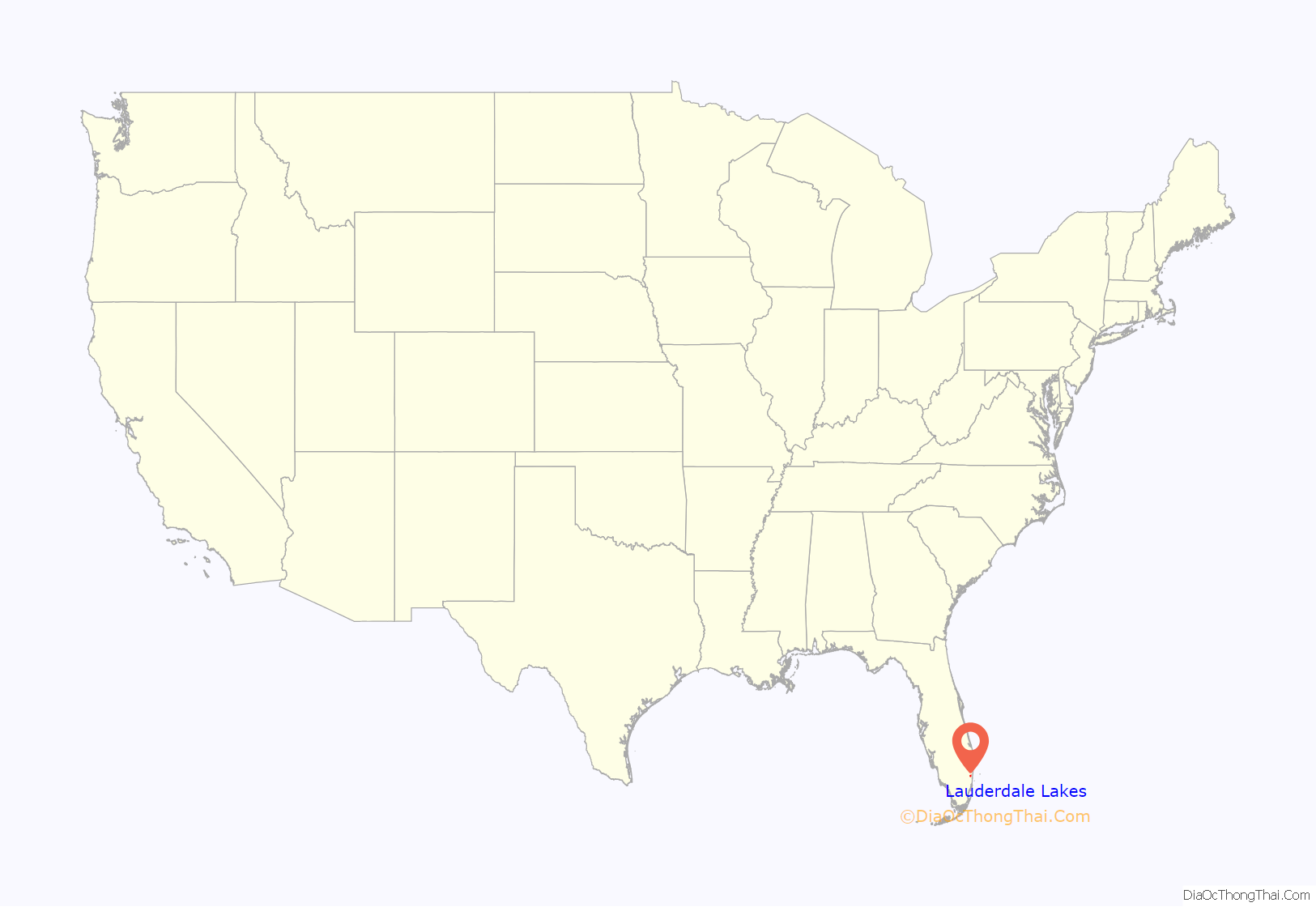
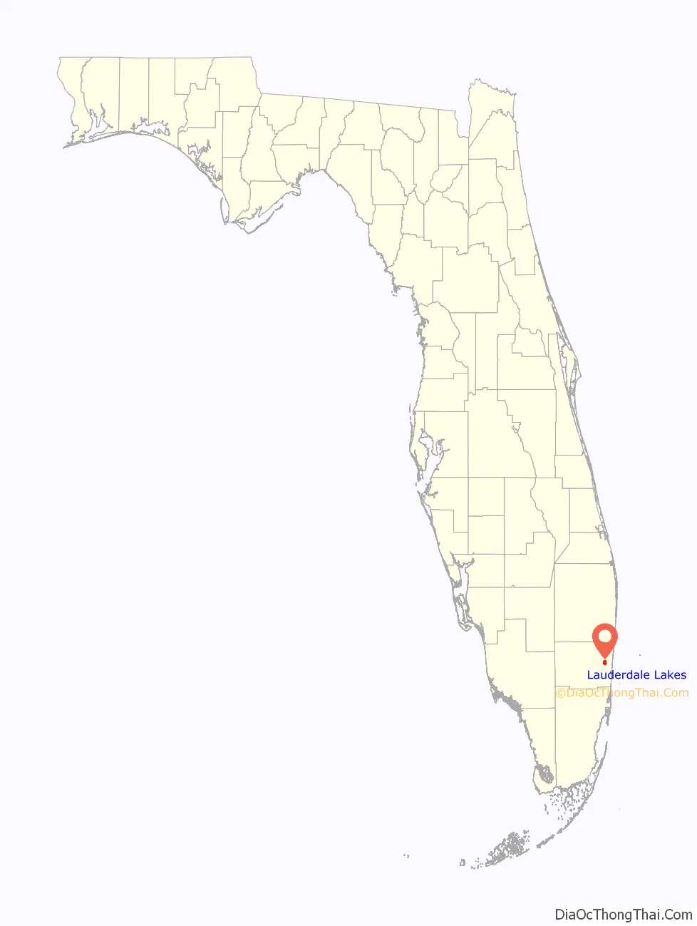
Lauderdale Lakes location map. Where is Lauderdale Lakes city?
History
The city of Lauderdale Lakes was incorporated on June 22, 1961, and was originally popular as a retirement area for Northeasterners, notably New Yorkers who were Jewish. As the White population in Broward County steadily moved westward and its early residents died toward the end of the 20th century, Lauderdale Lakes became a predominantly Caribbean and African American community.
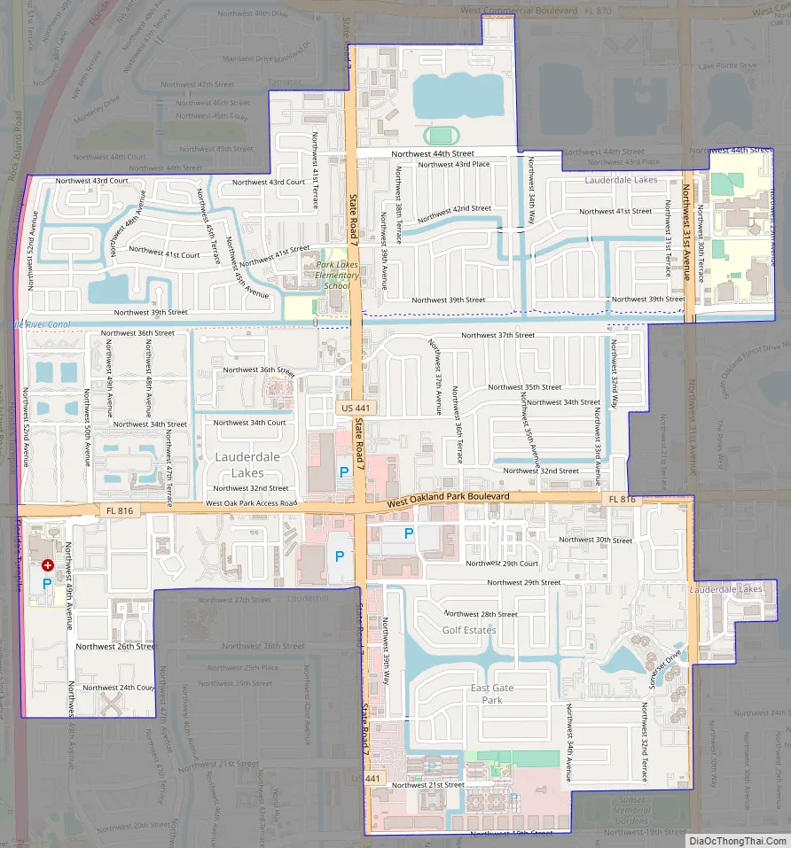
Lauderdale Lakes Road Map
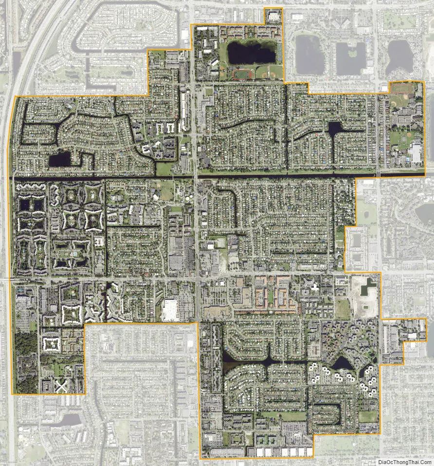
Lauderdale Lakes city Satellite Map
Geography
Lauderdale Lakes is located at 26°10′12″N 80°12′05″W / 26.170012°N 80.201318°W / 26.170012; -80.201318. The city is located in central Broward County. It is bordered by the city of Tamarac on its north, by the city of Lauderhill on its west and south, by the city of Oakland Park on its east, and by the city of Fort Lauderdale on its southeast.
According to the United States Census Bureau, the city has a total area of 3.64 square miles (9.43 km), of which 3.59 square miles (9.30 km) is land and .05 square miles (0.13 km) (1.37%) is water.
See also
Map of Florida State and its subdivision:- Alachua
- Baker
- Bay
- Bradford
- Brevard
- Broward
- Calhoun
- Charlotte
- Citrus
- Clay
- Collier
- Columbia
- Desoto
- Dixie
- Duval
- Escambia
- Flagler
- Franklin
- Gadsden
- Gilchrist
- Glades
- Gulf
- Hamilton
- Hardee
- Hendry
- Hernando
- Highlands
- Hillsborough
- Holmes
- Indian River
- Jackson
- Jefferson
- Lafayette
- Lake
- Lee
- Leon
- Levy
- Liberty
- Madison
- Manatee
- Marion
- Martin
- Miami-Dade
- Monroe
- Nassau
- Okaloosa
- Okeechobee
- Orange
- Osceola
- Palm Beach
- Pasco
- Pinellas
- Polk
- Putnam
- Saint Johns
- Saint Lucie
- Santa Rosa
- Sarasota
- Seminole
- Sumter
- Suwannee
- Taylor
- Union
- Volusia
- Wakulla
- Walton
- Washington
- Alabama
- Alaska
- Arizona
- Arkansas
- California
- Colorado
- Connecticut
- Delaware
- District of Columbia
- Florida
- Georgia
- Hawaii
- Idaho
- Illinois
- Indiana
- Iowa
- Kansas
- Kentucky
- Louisiana
- Maine
- Maryland
- Massachusetts
- Michigan
- Minnesota
- Mississippi
- Missouri
- Montana
- Nebraska
- Nevada
- New Hampshire
- New Jersey
- New Mexico
- New York
- North Carolina
- North Dakota
- Ohio
- Oklahoma
- Oregon
- Pennsylvania
- Rhode Island
- South Carolina
- South Dakota
- Tennessee
- Texas
- Utah
- Vermont
- Virginia
- Washington
- West Virginia
- Wisconsin
- Wyoming


