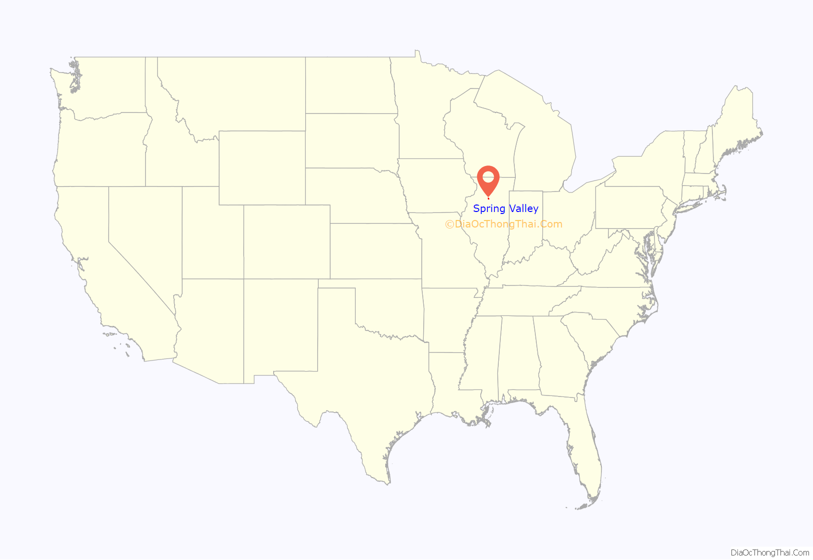
Spring Valley is a city situated on the Illinois River in Bureau County, Illinois, United States. The population was 5,582 at the 2020 census, up from 5,558 in 2010. It is part of the Ottawa Micropolitan Statistical Area.
| Name: | Spring Valley city |
|---|---|
| LSAD Code: | 25 |
| LSAD Description: | city (suffix) |
| State: | Illinois |
| County: | Bureau County |
| Total Area: | 7.40 sq mi (19.17 km²) |
| Land Area: | 7.36 sq mi (19.06 km²) |
| Water Area: | 0.04 sq mi (0.10 km²) |
| Total Population: | 5,582 |
| Population Density: | 750/sq mi (290/km²) |
| Area code: | 815 |
| FIPS code: | 1772156 |
| Website: | spring-valley.il.us |
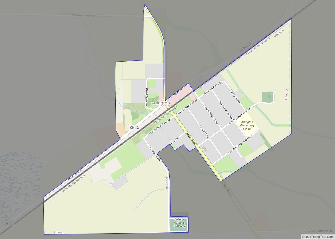
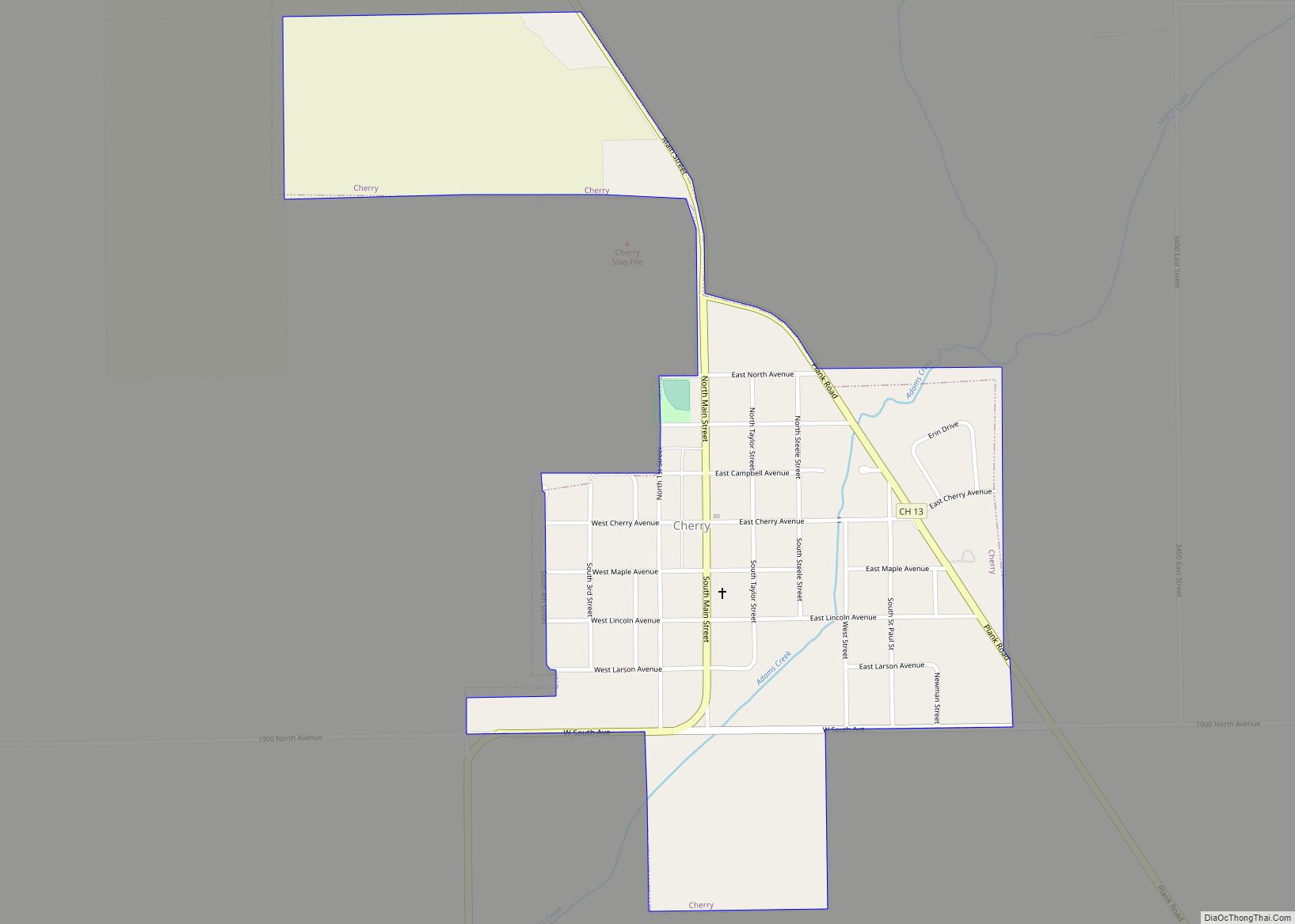
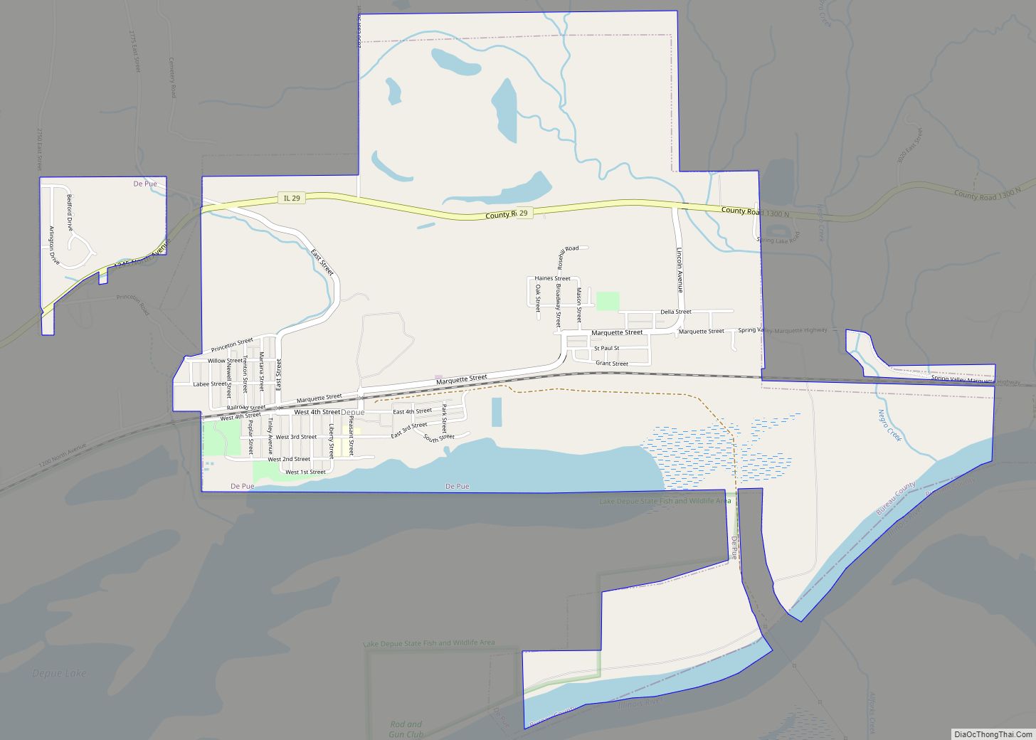
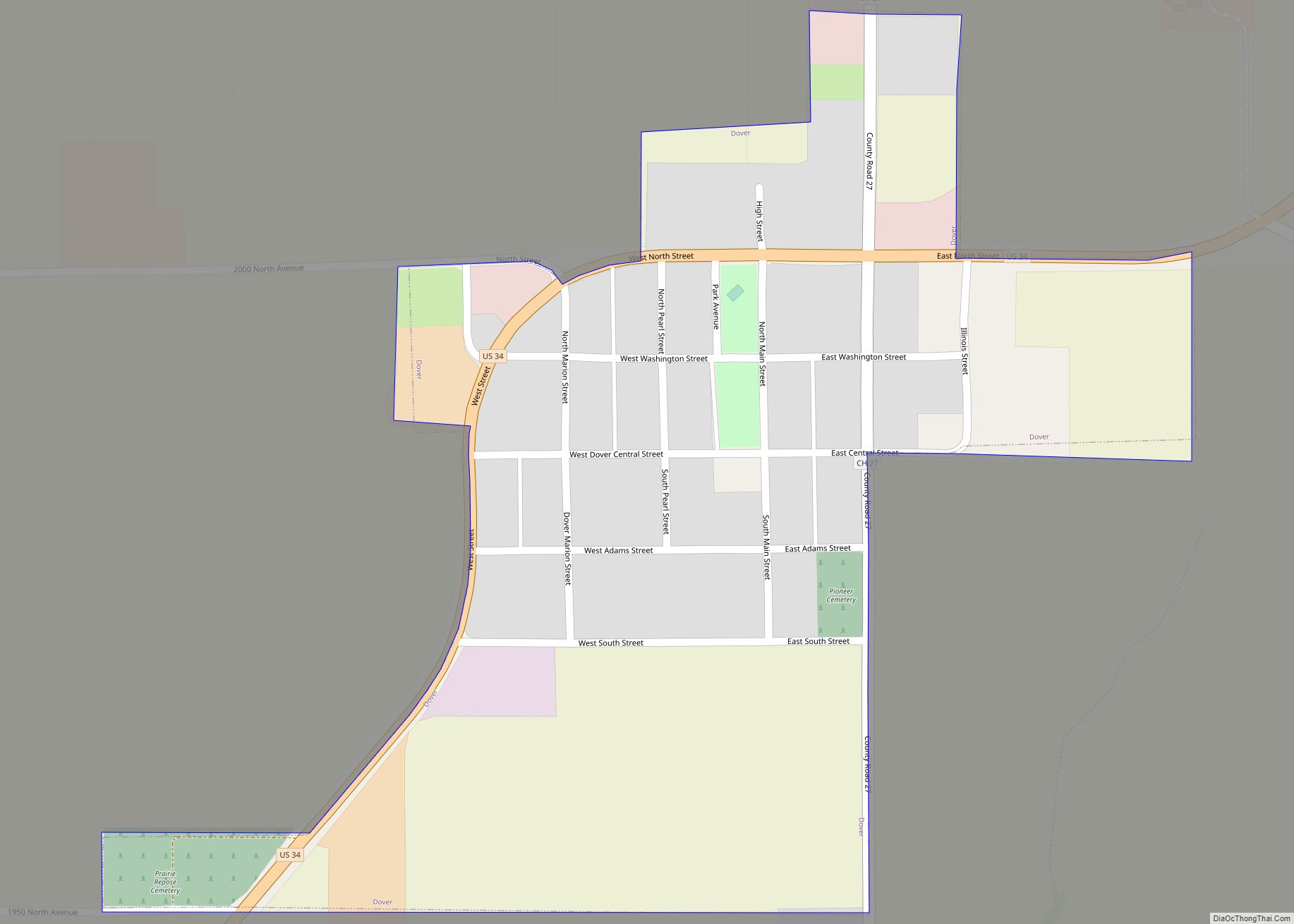
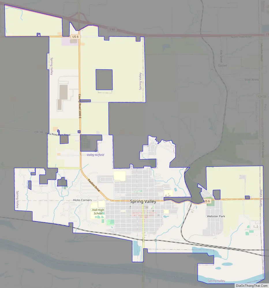
Online Interactive Map
Click on ![]() to view map in "full screen" mode.
to view map in "full screen" mode.
Spring Valley location map. Where is Spring Valley city?

History
Coal
Spring Valley was founded in 1884 in the heart of the coal fields of Northern Illinois for the express purpose of mining of coal. The building of Spring Valley was the enterprise of Henry J. Miller, one of the first settlers of this area, and his son-in-law, Charles J. Devlin. Charles Devlin had lived in Peru, Illinois as the manager of the Union Coal Company in LaSalle. They conceived the idea of establishing a coal metropolis, in the Valley and on the slopes of the bluffs bordering Spring Creek, in the southeastern corner of Bureau County. They acquired the mineral rights of 5,000 acres (20 km) and purchased 500 acres (2.0 km) on which to build the town. They secured the financial aid and cooperation of coal and railroad capitalists, E.N. Saunders of St. Paul, Minnesota, a director of the Chicago and North Western railroad, Mr. Taylor of What Cheer, Iowa, and William L. Scott of Erie, Pennsylvania. Scott was a United States Senator from Pennsylvania during the administration of President Grover Cleveland. Most of these men are remembered in the name of the streets of the town.
Two companies were formed, the Spring Valley Coal Company in partnership with Alexander Campbell, and the Spring Valley Town Site Co. Backed by the almost unlimited resources of the coal barons, these two companies spent over $21⁄2 million in less than four years in the building of the town.
The boring of the mine commenced in 1884 and the town surveyed and platted. Spring Valley did not grow from a crossroads country store or framehouse, it was planned with the hope it would grow to be a large city. Space was set aside for churches, schools and public buildings and broad streets were laid out. St. Paul Street became one of the widest streets in the state and in 1984 made even wider. In the residential section of the city property line, lies 25 feet (7.6 m) from curb and ample room for expansion.
Spring Valley was a boom town, its growth was so rapid that it was called the “Magic City.” In less than four years, by 1888, the Chicago North Western railroad had laid a line from DeKalb, Illinois, four mines had been sunk and the town had 3,000 people.
Violent strikes
There were large-scale violent strikes in the late 1880s. Italian coal miners in the 1890s brought in anarchism, and the violence escalated during the depression of 1893-96. The strikes were failures but the angry miners voted for the Populist ticket in 1894.
In August 1895, Spring Valley experienced the state’s most destructive race riot to date, out of which came major legislation prohibiting companies from bringing in squads of men to replace existing workers. Tension between mine owners and union agitators led to a lockout in 1889. Many Italian immigrants arrived to cross the picket lines but eventually staged their own strike in 1894, encouraging the industry to bring in African Americans to break the strike. Relations between the races rapidly deteriorated, leading to the riot that ended the use of black strike breakers. Governor John Peter Altgeld’s response to the August 4 attack on the black community by displaced Italian miners ultimately revealed his support of fellow immigrants over African Americans. Another riot erupted in 1895 when recent Polish, Lithuanian, Italian, and Belgian immigrants raided the black section of town and burned, looted, and injured 14 blacks. Black victims of the riot took their attackers to court and used their status as citizens to win the case against the new immigrants.
Spring Valley remained a brawling, boisterous place and until the competition from cheaper Southern Illinois coal fields forced the mine to close in late 1927.
Ethnicity
Spring Valley like every other coal town came to know almost every nationality in Europe. These people came from LaSalle, Peru, Braidwood, Braceville and all mining camps of Northern Illinois. The English, Scottish, Irish, Welsh, and Cornish from the Coal fields of Great Britain, from Northern France and Belgium. Polish, and Germans, Swedes and Lithuanians from opposite shores of the Baltic Sea, Slavish peasants from Central Europe and immigrants from sunny Italy. Many arriving here attired in their native dress tagged and ticketed from their port of entry. The town also developed a black section known as the “Location.” In 1905, the Bureau County Republican Newspaper stated that there were 32 distinct nationalities groups in Spring Valley.
Institutions founded
By 1888, two years after the incorporation of the town, February 8, 1886, two churches, the Congregational and the Immaculate Conception, had been built, two schools erected, the Immaculate Conception Parochial and the Lincoln Public School, which includes a two-year high school course, a newspaper (the Spring Valley Gazette), and a public library.
This library, an institution for which all towns wait many years, was established by the “Knights of Labor”, the Coal Miner’s Union in 1885 before the town was a year old, before even a city government was formed. This early interest in education culminated in the establishment of two schools believed to be the first of their kind in the state.
The Hall Township High and Vocational School training in shop, carpentry, printing, drafting, cooking, sewing, typing, shorthand, bookkeeping and banking. This school was constructed in 1914.
Spring Valley Road Map
Spring Valley city Satellite Map

Geography
Spring Valley is located at 41°19′38″N 89°12′3″W / 41.32722°N 89.20083°W / 41.32722; -89.20083 (41.327154, -89.200752).
According to the 2021 census gazetteer files, Spring Valley has a total area of 7.40 square miles (19.17 km), of which 7.36 square miles (19.06 km) (or 99.47%) is land and 0.04 square miles (0.10 km) (or 0.53%) is water.
See also
Map of Illinois State and its subdivision:- Adams
- Alexander
- Bond
- Boone
- Brown
- Bureau
- Calhoun
- Carroll
- Cass
- Champaign
- Christian
- Clark
- Clay
- Clinton
- Coles
- Cook
- Crawford
- Cumberland
- De Kalb
- De Witt
- Douglas
- Dupage
- Edgar
- Edwards
- Effingham
- Fayette
- Ford
- Franklin
- Fulton
- Gallatin
- Greene
- Grundy
- Hamilton
- Hancock
- Hardin
- Henderson
- Henry
- Iroquois
- Jackson
- Jasper
- Jefferson
- Jersey
- Jo Daviess
- Johnson
- Kane
- Kankakee
- Kendall
- Knox
- La Salle
- Lake
- Lake Michigan
- Lawrence
- Lee
- Livingston
- Logan
- Macon
- Macoupin
- Madison
- Marion
- Marshall
- Mason
- Massac
- McDonough
- McHenry
- McLean
- Menard
- Mercer
- Monroe
- Montgomery
- Morgan
- Moultrie
- Ogle
- Peoria
- Perry
- Piatt
- Pike
- Pope
- Pulaski
- Putnam
- Randolph
- Richland
- Rock Island
- Saint Clair
- Saline
- Sangamon
- Schuyler
- Scott
- Shelby
- Stark
- Stephenson
- Tazewell
- Union
- Vermilion
- Wabash
- Warren
- Washington
- Wayne
- White
- Whiteside
- Will
- Williamson
- Winnebago
- Woodford
- Alabama
- Alaska
- Arizona
- Arkansas
- California
- Colorado
- Connecticut
- Delaware
- District of Columbia
- Florida
- Georgia
- Hawaii
- Idaho
- Illinois
- Indiana
- Iowa
- Kansas
- Kentucky
- Louisiana
- Maine
- Maryland
- Massachusetts
- Michigan
- Minnesota
- Mississippi
- Missouri
- Montana
- Nebraska
- Nevada
- New Hampshire
- New Jersey
- New Mexico
- New York
- North Carolina
- North Dakota
- Ohio
- Oklahoma
- Oregon
- Pennsylvania
- Rhode Island
- South Carolina
- South Dakota
- Tennessee
- Texas
- Utah
- Vermont
- Virginia
- Washington
- West Virginia
- Wisconsin
- Wyoming