What Cheer (/hwəˈtʃɪər, hwʌtˈtʃɪər, ˈhwɒtʃɪər, ˈhwættʃɪər/) is a city in Keokuk County, Iowa, United States. It is a former coal town, and from the 1870s to the early 1900s was one of the major coal-producing centers of Iowa. Its greatest recorded population was 3,246, in the 1890 census. The population was 607 in the 2020 census.
| Name: | What Cheer city |
|---|---|
| LSAD Code: | 25 |
| LSAD Description: | city (suffix) |
| State: | Iowa |
| County: | Keokuk County |
| Elevation: | 784 ft (239 m) |
| Total Area: | 1.26 sq mi (3.25 km²) |
| Land Area: | 1.24 sq mi (3.20 km²) |
| Water Area: | 0.02 sq mi (0.05 km²) |
| Total Population: | 607 |
| Population Density: | 490.70/sq mi (189.43/km²) |
| ZIP code: | 50268 |
| Area code: | 641 |
| FIPS code: | 1984900 |
| GNISfeature ID: | 0465964 |
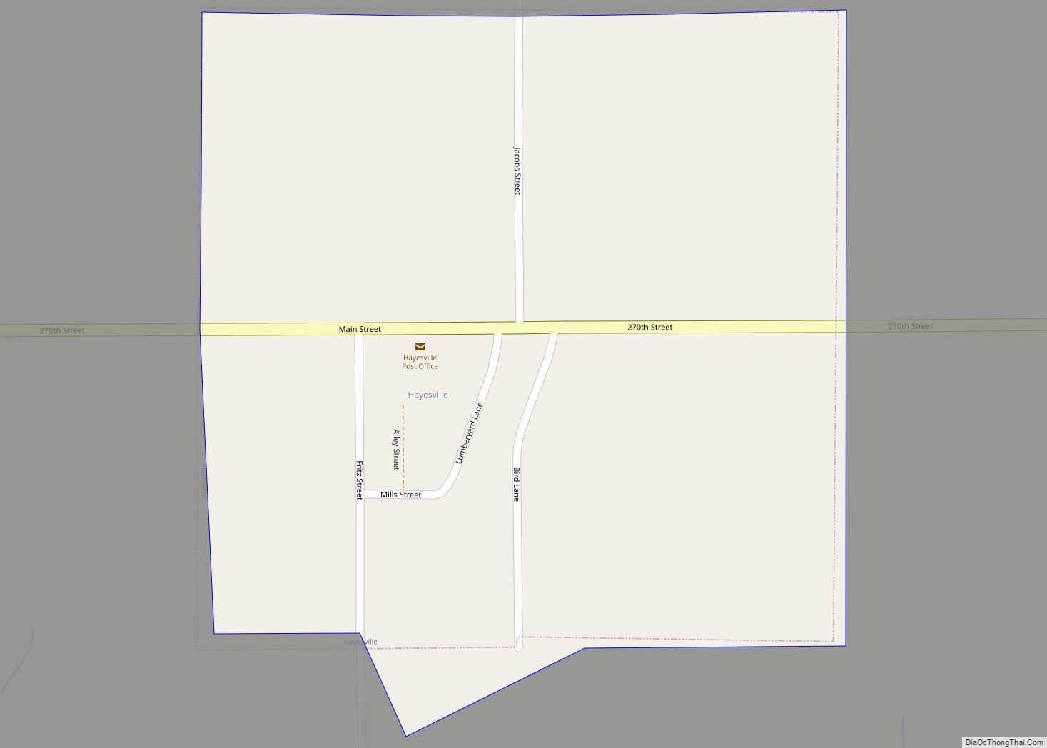
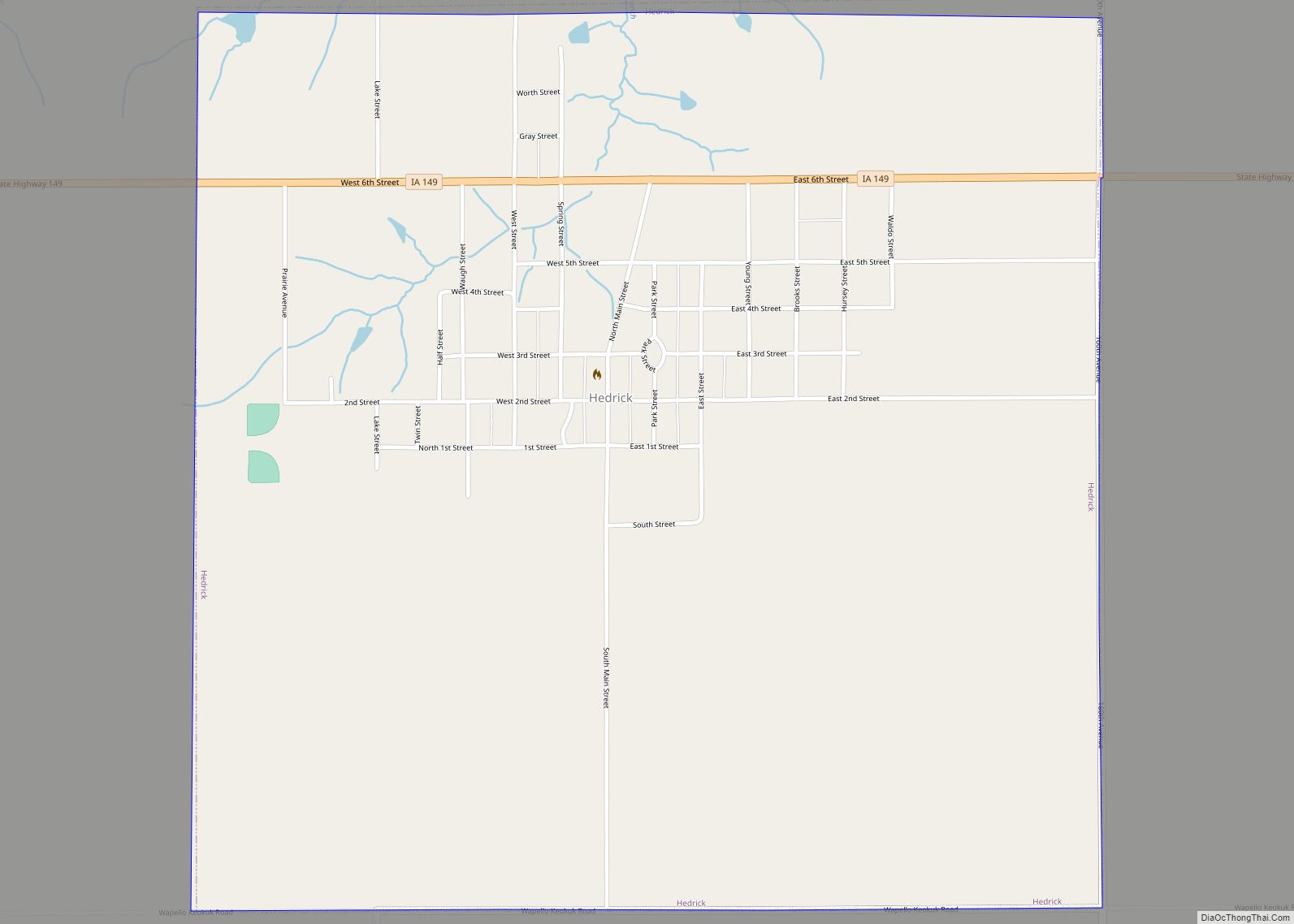
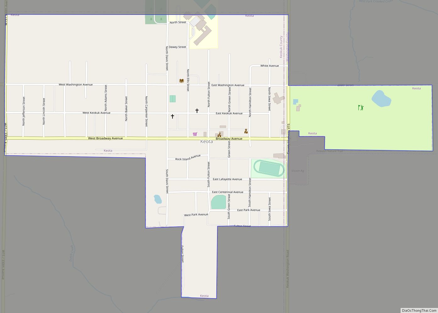
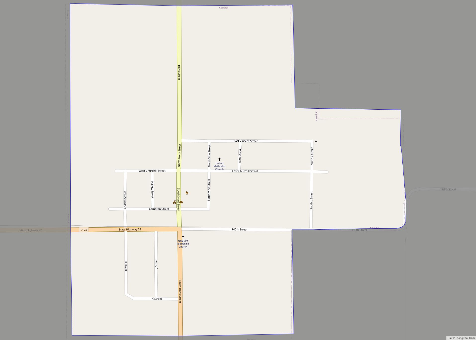
Online Interactive Map
Click on ![]() to view map in "full screen" mode.
to view map in "full screen" mode.
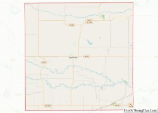
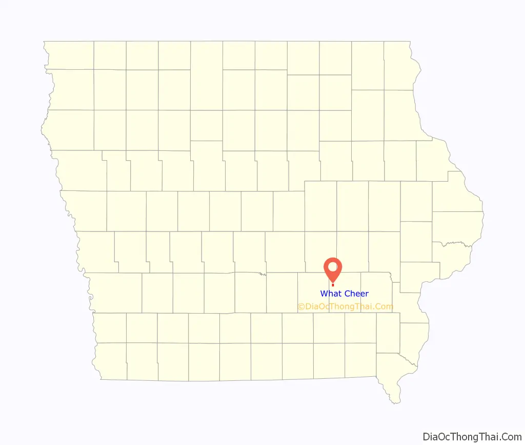
What Cheer location map. Where is What Cheer city?

History
Robert Forsyth, born in Kilmarnock, Scotland, came to America in 1857, and made his way to Rock Island, Illinois, where he arrived penniless. He worked for most of a decade as a coal miner before coming to Petersburg, the future What Cheer. In the 1870s, he began buying coal lands around town, mostly on credit. When the railroad came to town, he leased his land to the coal companies and bought into a local drug store, eventually operating stores in What Cheer, Mystic and Jerome, Iowa. Other Scots from the Kilmarnock region (Ayrshire) also settled in the area. Robert Orr came in 1875 after working in the coal mines of Colchester, Illinois. His son Alexander went on a successful career as a mine owner in Mystic.
The Burlington, Cedar Rapids and Northern Railway (BCR&N) built a 66-mile (106 km) branch to What Cheer in 1879. With the arrival of the railroad, the What Cheer coalfield quickly became one of the most important coal mining centers in Iowa. The Starr Coal Company had over 200 employees and could produce 1,000 tons of coal per day. By 1883, they were operating three mines and took over several others. When, in 1884, the Chicago and North Western Railway built its line through What Cheer to Muchakinock, there was a further expansion of mining in the area.
Local Assembly 1474 of the Knights of Labor was based in What Cheer and had a membership of 65 in 1884. On Oct. 15, 1884, 500 miners in What Cheer went on strike, demanding higher wages. The established wage was 3 cents per bushel, and the miners demanded an additional half cent. The state militia was put on alert, but after 6 weeks, the miners accepted a quarter-cent raise. This strike cut coal production in the What Cheer significantly.
In 1886, the What Cheer Coal Company began to consolidate the local mines, buying up the Starr Coal Company and the Granger Coal Company. In 1887, they employed 1,100 miners, and they continued to operate until 1899. From 1885 to 1901, the Crescent Coal Company was an important local producer.
In 1891, the BCR&N Railroad’s Iowa City Division, serving What Cheer, carried 38,080 tons of coal, by far the most important commodity carried by that line. In 1892, mines along the BCR&N (all of which were in the What Cheer region) loaded 129,316 tons of coal.
On May 1, 1891, the miners of What Cheer and many other mining towns went on strike for the eight-hour day. 1000 men walked off the job in What Cheer, but returned to work defeated on June 16. On August 15, 1896, the miners struck again over several small grievances. The strike lasted 10 to 12 weeks. Local 841 of the United Mine Workers union was organized in What Cheer in 1897, and in 1902, it had 200 members.
The first industrial development in What Cheer was driven by the needs of the coal mines. In 1890, What Cheer was home to three firms making mining drills, Walker & Thompson, Enterprise Manufacturing and the newly formed What Cheer Drill Company. Within the decade, the What Cheer Drill and Miners’ Tool Company was selling equipment in mining districts around the nation. Alexander Walker, originally with Walker & Thompson filed numerous patents on mining equipment, most of which were assigned to the What Cheer Drill and Miners’ Tool Company, later named the What Cheer Tool Company. In 1903, the Starr Manufacturing Company, American Mining Tool Company and the What Cheer Tool Company agreed to a union wage scale with the International Brotherhood of Blacksmiths. At the time, the blacksmiths local 259 had just 17 members.
In 1907, the Volunteer Brick and Tile company was operating its own coal mine to fuel its kilns. The mine had a steam hoist to lift coal 40 feet from a coal seam from 4 to 5 feet thick. The Lea Brothers’ mine in north-central What Cheer also had a steam hoist and still shipped some coal by rail. The remaining mines in the area were all small, using horse-gins to operate their hoists.
By 1909, there were only a few mines left in the county, all producing coal for local consumption in What Cheer. The decline of What Cheer’s mines in the 20th century was reflected in declining union membership. In 1912, Local 841 of the United Mine Workers, based in What Cheer, had only 18 members.
The What Cheer Clay Products Company strip mined local coal into the mid-century, but in their case, coal was a byproduct. Their primary source of clay was the 8 to 12 foot (2.5 to 4 meter) underclay found immediately below the coal. What Cheer Clay Products was organized in 1911. The plant cost $300,000 to build, and was seriously damaged by a fire in 1917. Despite this, by 1920, the company was expanding, purchasing a new Dragline excavator in order to work their clay pit.
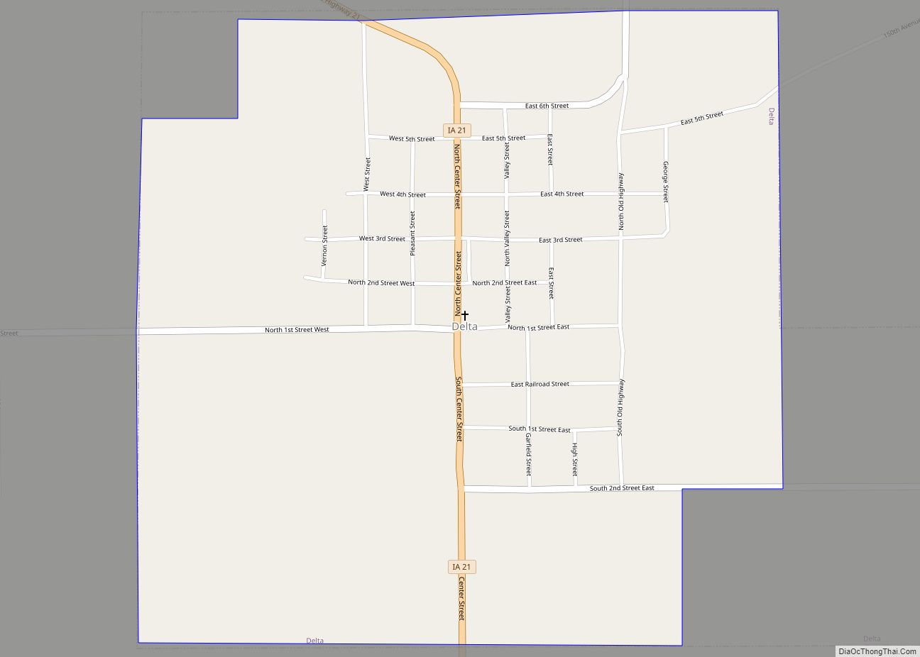
What Cheer Road Map
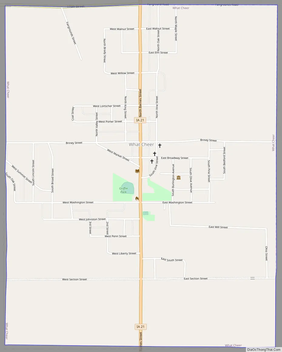
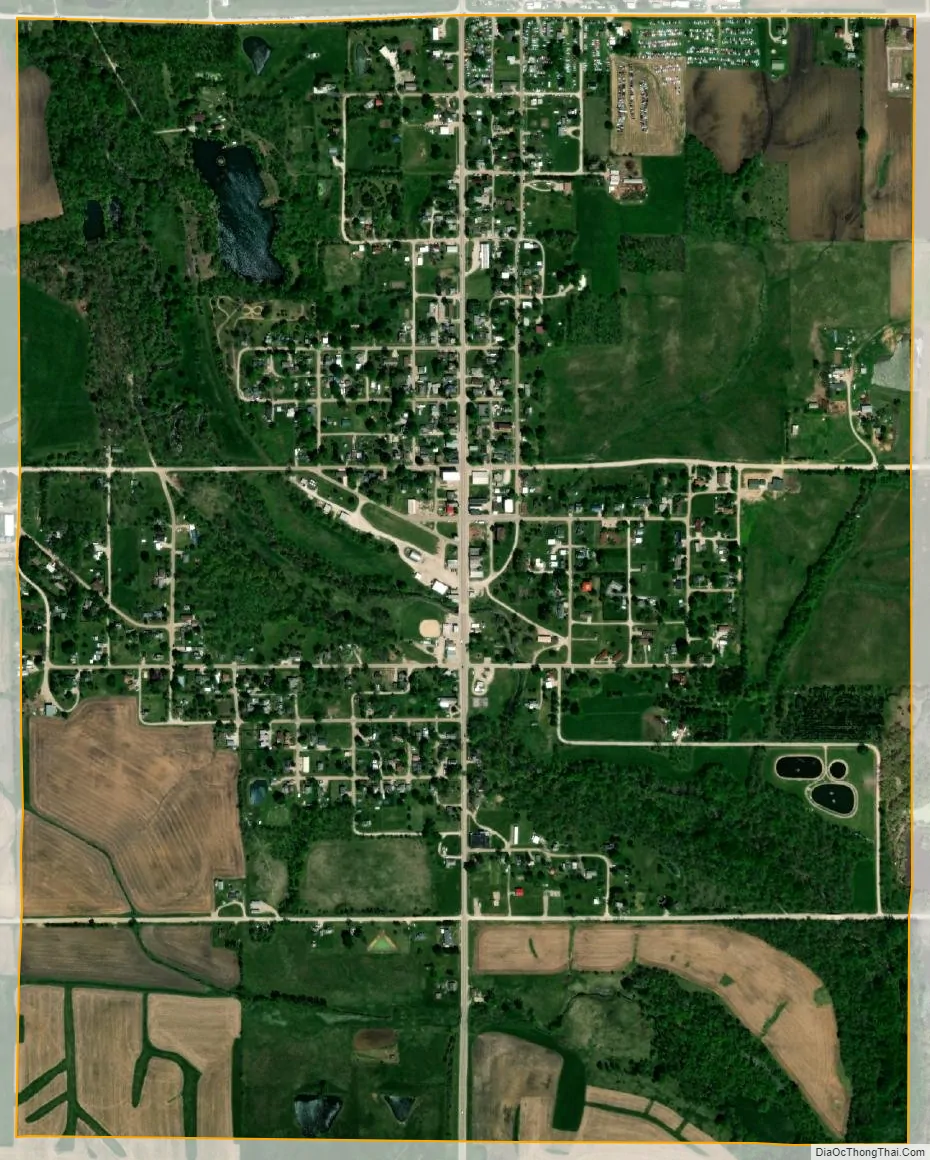
What Cheer city Satellite Map
Geography
The central business district and the larger part of the town is located on the north-east bank of Coal Creek, a tributary of the North fork of the Skunk River. According to the United States Census Bureau, the city has a total area of 1.24 square miles (3.21 km), of which, 1.22 square miles (3.16 km) is land and 0.02 square miles (0.05 km) is water.
See also
Map of Iowa State and its subdivision:- Adair
- Adams
- Allamakee
- Appanoose
- Audubon
- Benton
- Black Hawk
- Boone
- Bremer
- Buchanan
- Buena Vista
- Butler
- Calhoun
- Carroll
- Cass
- Cedar
- Cerro Gordo
- Cherokee
- Chickasaw
- Clarke
- Clay
- Clayton
- Clinton
- Crawford
- Dallas
- Davis
- Decatur
- Delaware
- Des Moines
- Dickinson
- Dubuque
- Emmet
- Fayette
- Floyd
- Franklin
- Fremont
- Greene
- Grundy
- Guthrie
- Hamilton
- Hancock
- Hardin
- Harrison
- Henry
- Howard
- Humboldt
- Ida
- Iowa
- Jackson
- Jasper
- Jefferson
- Johnson
- Jones
- Keokuk
- Kossuth
- Lee
- Linn
- Louisa
- Lucas
- Lyon
- Madison
- Mahaska
- Marion
- Marshall
- Mills
- Mitchell
- Monona
- Monroe
- Montgomery
- Muscatine
- O'Brien
- Osceola
- Page
- Palo Alto
- Plymouth
- Pocahontas
- Polk
- Pottawattamie
- Poweshiek
- Ringgold
- Sac
- Scott
- Shelby
- Sioux
- Story
- Tama
- Taylor
- Union
- Van Buren
- Wapello
- Warren
- Washington
- Wayne
- Webster
- Winnebago
- Winneshiek
- Woodbury
- Worth
- Wright
- Alabama
- Alaska
- Arizona
- Arkansas
- California
- Colorado
- Connecticut
- Delaware
- District of Columbia
- Florida
- Georgia
- Hawaii
- Idaho
- Illinois
- Indiana
- Iowa
- Kansas
- Kentucky
- Louisiana
- Maine
- Maryland
- Massachusetts
- Michigan
- Minnesota
- Mississippi
- Missouri
- Montana
- Nebraska
- Nevada
- New Hampshire
- New Jersey
- New Mexico
- New York
- North Carolina
- North Dakota
- Ohio
- Oklahoma
- Oregon
- Pennsylvania
- Rhode Island
- South Carolina
- South Dakota
- Tennessee
- Texas
- Utah
- Vermont
- Virginia
- Washington
- West Virginia
- Wisconsin
- Wyoming