Stockton is a village in Jo Daviess County, Illinois, United States. The population was 1,862 at the 2010 census, down from 1,926 at the 2000 census.
| Name: | Stockton village |
|---|---|
| LSAD Code: | 47 |
| LSAD Description: | village (suffix) |
| State: | Illinois |
| County: | Jo Daviess County |
| Elevation: | 994 ft (303 m) |
| Total Area: | 1.88 sq mi (4.86 km²) |
| Land Area: | 1.88 sq mi (4.86 km²) |
| Water Area: | 0.00 sq mi (0.00 km²) |
| Total Population: | 1,728 |
| Population Density: | 920.62/sq mi (355.51/km²) |
| Area code: | 815 |
| FIPS code: | 1772780 |
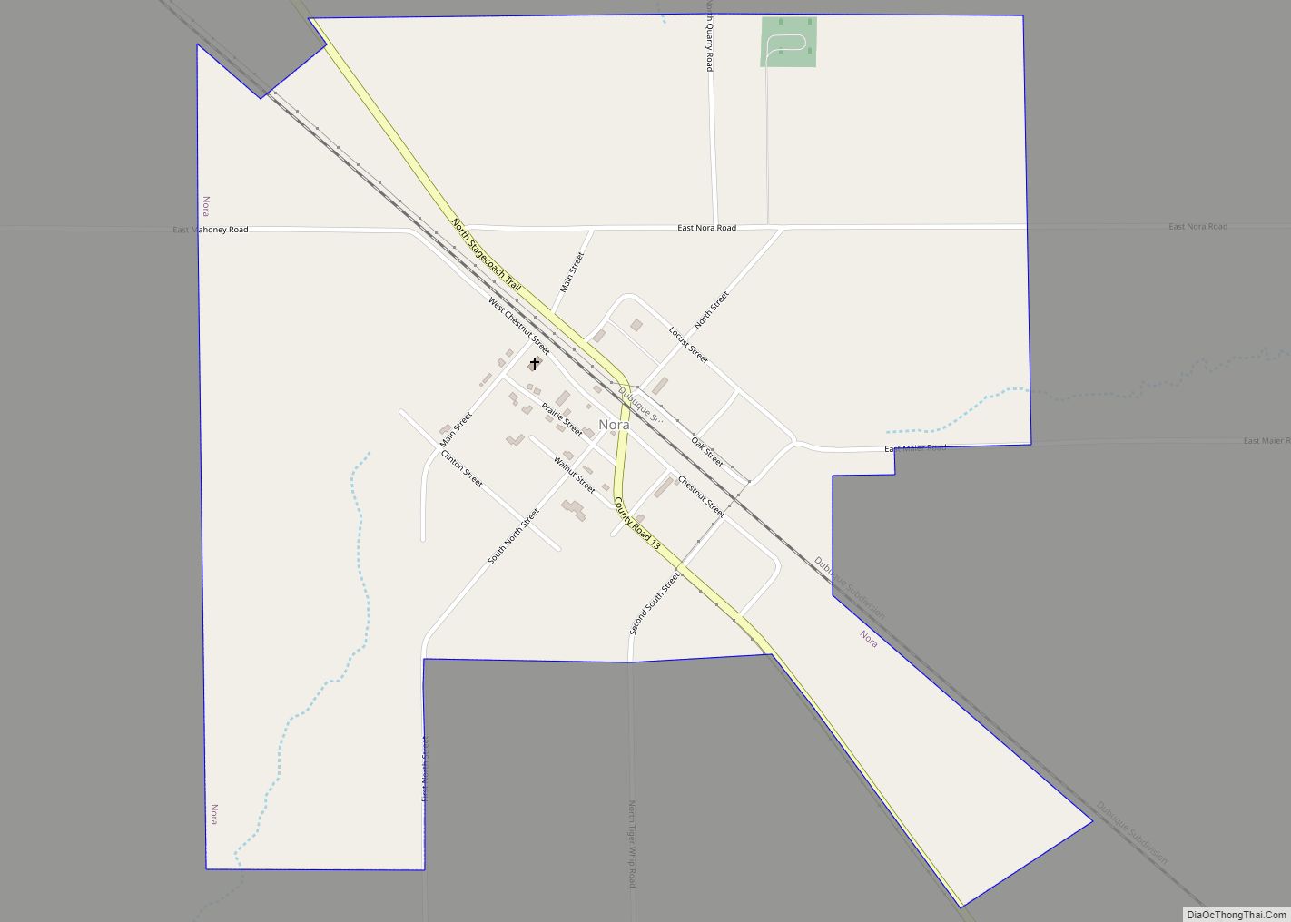
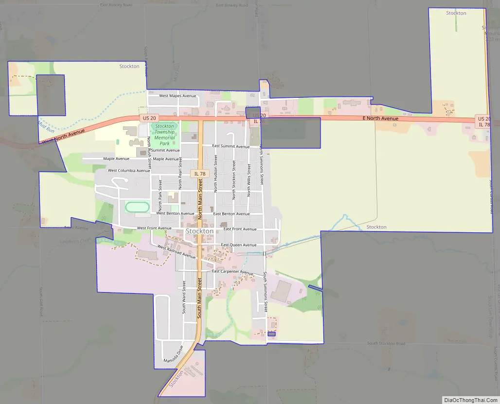
Online Interactive Map
Click on ![]() to view map in "full screen" mode.
to view map in "full screen" mode.
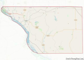
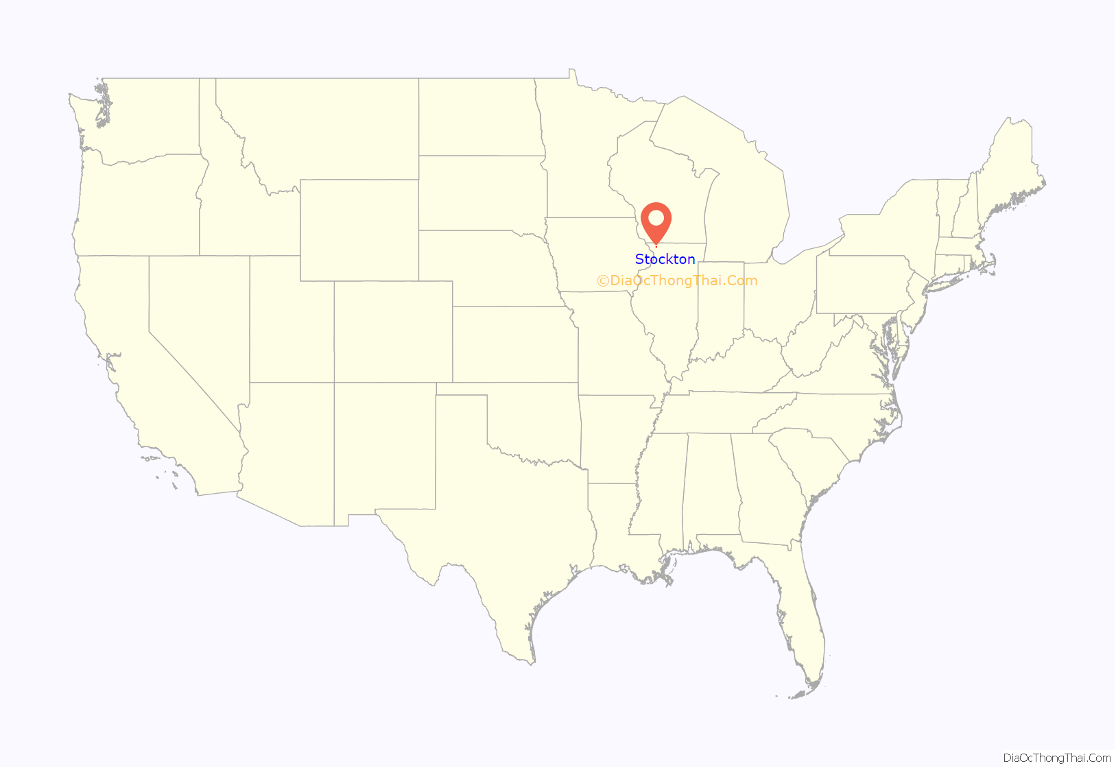
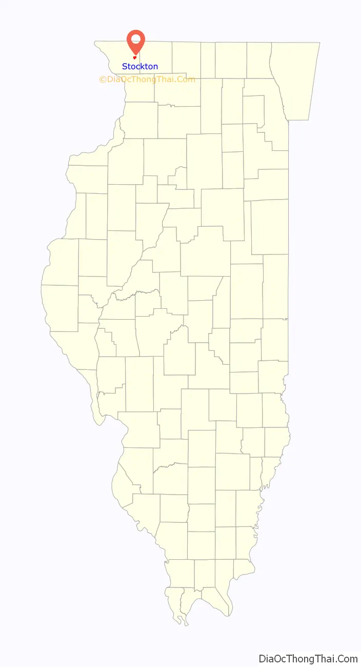
Stockton location map. Where is Stockton village?
History
The village of Stockton is the youngest village in Jo Daviess County. It was established after the Minnesota Northwestern Railroad decided to build a station in Section 2 of Stockton Township in 1886, which through mergers later became named the Chicago Great Western Railway. The railroad tracks were removed in the early 1970s.
What is now Front Street in Stockton was then a dirt road which served as the main thoroughfare to Lena. In April 1887, one Charles Hermann became Stockton’s first business owner.
In 1914, the Kraft Brothers opened a cheese factory in Stockton, and operated it until Kraft sold the facility in 1998. This was the birthplace of the Kraft Corporation and the first cheese plant opened by J.L. Kraft.
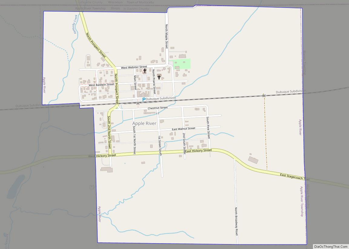
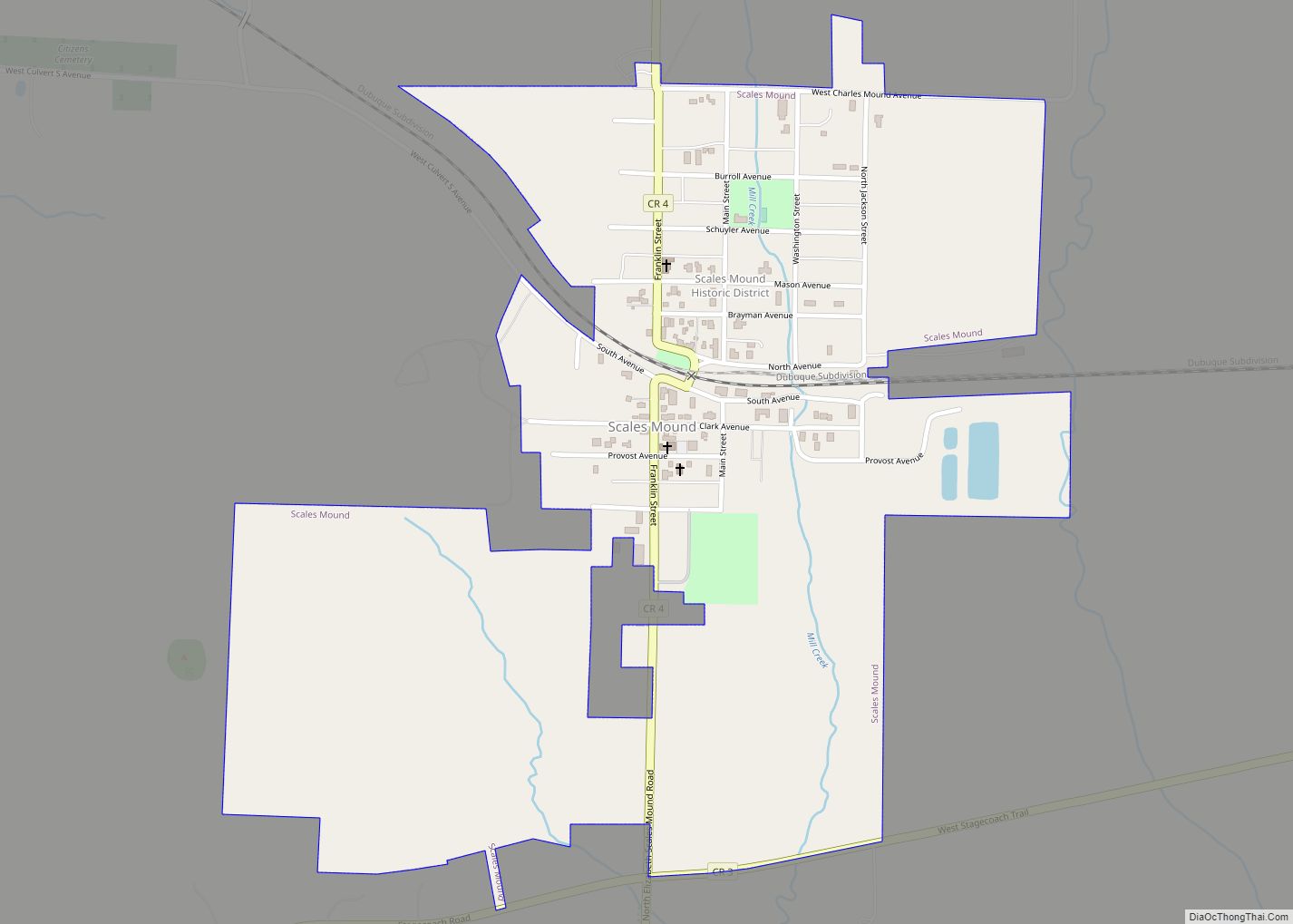
Stockton Road Map
Stockton city Satellite Map

Geography
Stockton is located at 42°21′1″N 90°0′22″W / 42.35028°N 90.00611°W / 42.35028; -90.00611 (42.350357, -90.006127).
According to the 2010 census, Stockton has a total area of 1.6 square miles (4.14 km), all land.
Climate
Major highways
- U.S. Route 20, east towards Freeport and west towards Galena.
- Illinois Route 78, north towards Warren and the Wisconsin state line and south towards Mount Carroll.
See also
Map of Illinois State and its subdivision:- Adams
- Alexander
- Bond
- Boone
- Brown
- Bureau
- Calhoun
- Carroll
- Cass
- Champaign
- Christian
- Clark
- Clay
- Clinton
- Coles
- Cook
- Crawford
- Cumberland
- De Kalb
- De Witt
- Douglas
- Dupage
- Edgar
- Edwards
- Effingham
- Fayette
- Ford
- Franklin
- Fulton
- Gallatin
- Greene
- Grundy
- Hamilton
- Hancock
- Hardin
- Henderson
- Henry
- Iroquois
- Jackson
- Jasper
- Jefferson
- Jersey
- Jo Daviess
- Johnson
- Kane
- Kankakee
- Kendall
- Knox
- La Salle
- Lake
- Lake Michigan
- Lawrence
- Lee
- Livingston
- Logan
- Macon
- Macoupin
- Madison
- Marion
- Marshall
- Mason
- Massac
- McDonough
- McHenry
- McLean
- Menard
- Mercer
- Monroe
- Montgomery
- Morgan
- Moultrie
- Ogle
- Peoria
- Perry
- Piatt
- Pike
- Pope
- Pulaski
- Putnam
- Randolph
- Richland
- Rock Island
- Saint Clair
- Saline
- Sangamon
- Schuyler
- Scott
- Shelby
- Stark
- Stephenson
- Tazewell
- Union
- Vermilion
- Wabash
- Warren
- Washington
- Wayne
- White
- Whiteside
- Will
- Williamson
- Winnebago
- Woodford
- Alabama
- Alaska
- Arizona
- Arkansas
- California
- Colorado
- Connecticut
- Delaware
- District of Columbia
- Florida
- Georgia
- Hawaii
- Idaho
- Illinois
- Indiana
- Iowa
- Kansas
- Kentucky
- Louisiana
- Maine
- Maryland
- Massachusetts
- Michigan
- Minnesota
- Mississippi
- Missouri
- Montana
- Nebraska
- Nevada
- New Hampshire
- New Jersey
- New Mexico
- New York
- North Carolina
- North Dakota
- Ohio
- Oklahoma
- Oregon
- Pennsylvania
- Rhode Island
- South Carolina
- South Dakota
- Tennessee
- Texas
- Utah
- Vermont
- Virginia
- Washington
- West Virginia
- Wisconsin
- Wyoming