Arma is a city in Crawford County, Kansas, United States. As of the 2020 census, the population of the city was 1,407.
| Name: | Arma city |
|---|---|
| LSAD Code: | 25 |
| LSAD Description: | city (suffix) |
| State: | Kansas |
| County: | Crawford County |
| Founded: | 1894 |
| Incorporated: | 1909 |
| Elevation: | 1,014 ft (309 m) |
| Total Area: | 1.16 sq mi (3.00 km²) |
| Land Area: | 1.13 sq mi (2.94 km²) |
| Water Area: | 0.02 sq mi (0.06 km²) |
| Total Population: | 1,407 |
| Population Density: | 1,200/sq mi (470/km²) |
| ZIP code: | 66712 |
| Area code: | 620 |
| FIPS code: | 2002375 |
| Website: | armakansas.org |
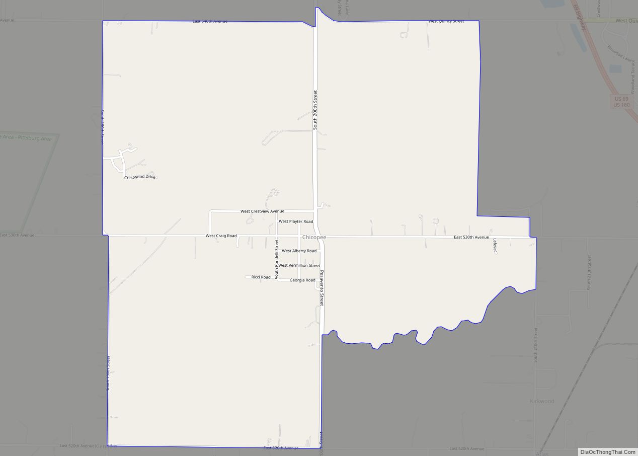
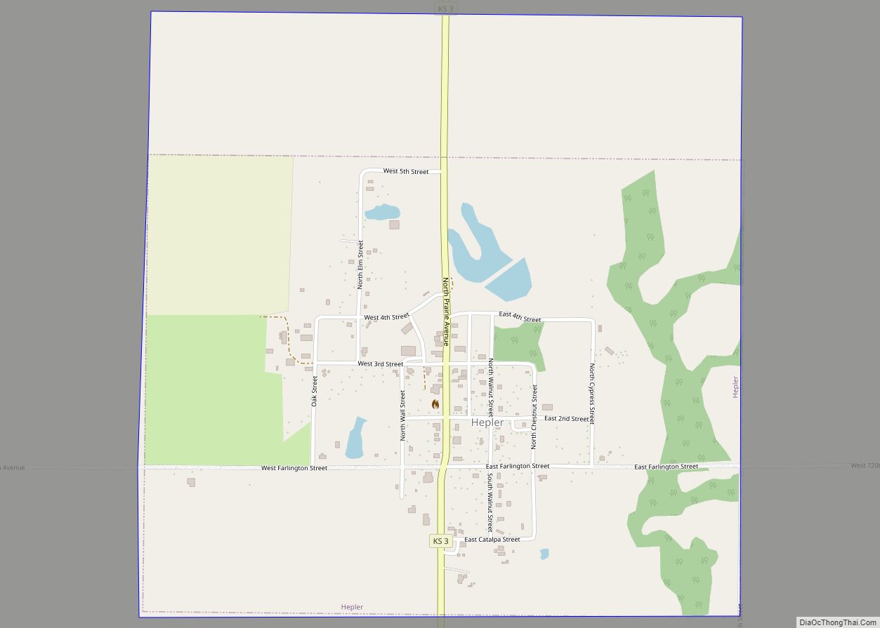
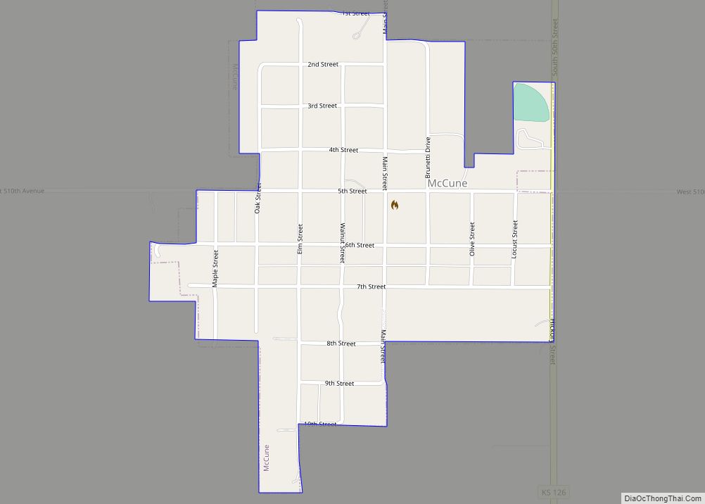
Online Interactive Map
Click on ![]() to view map in "full screen" mode.
to view map in "full screen" mode.
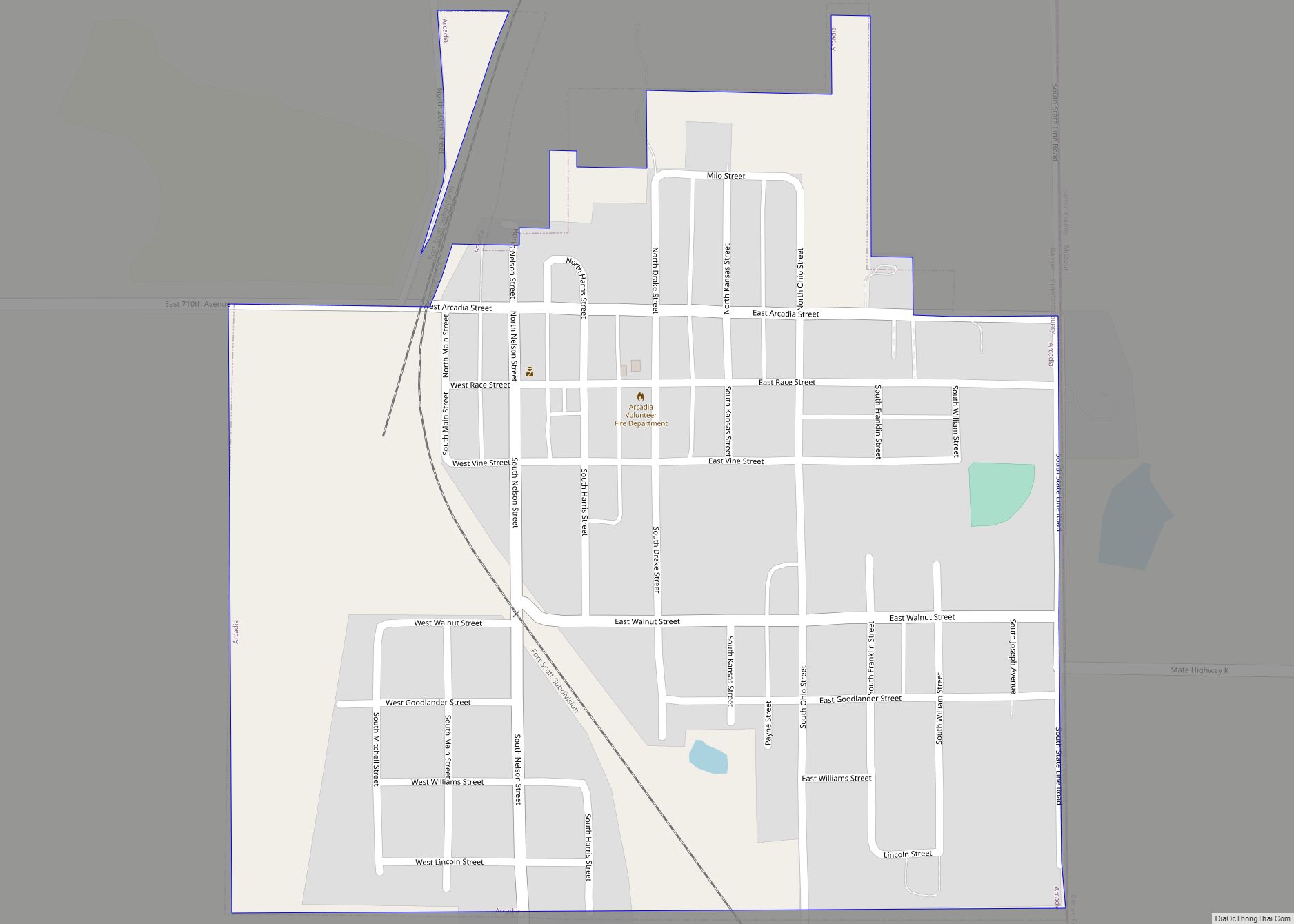
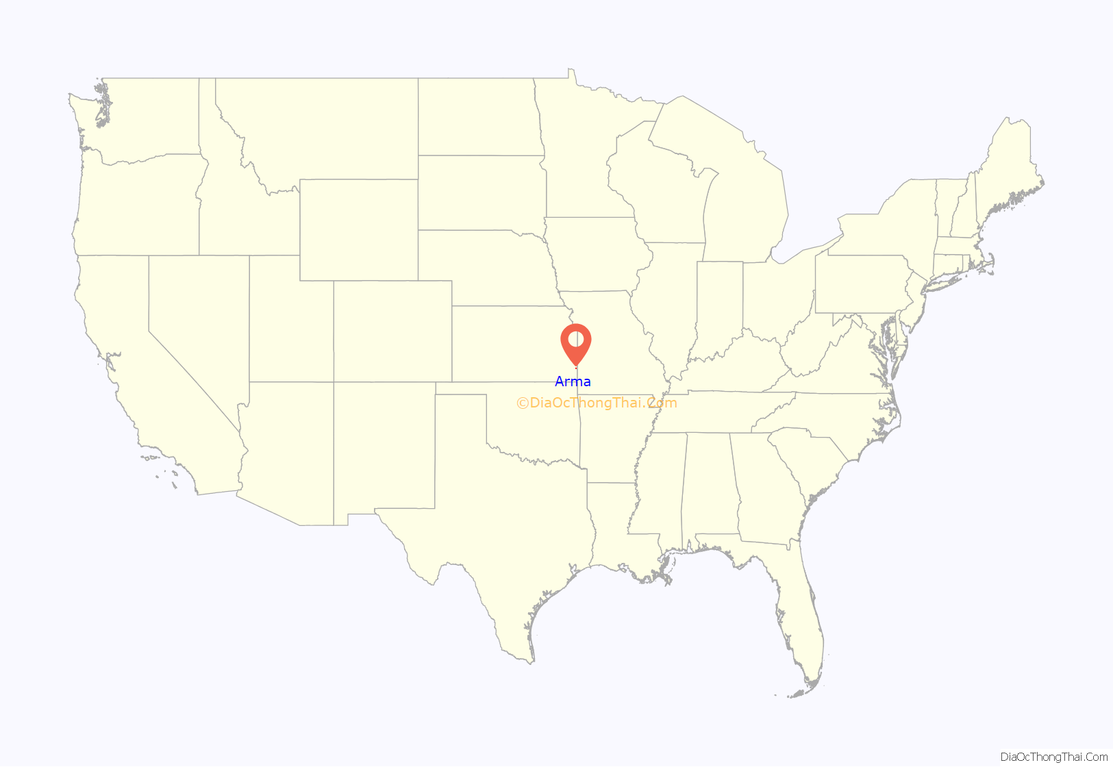
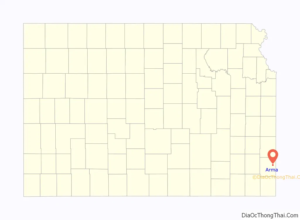
Arma location map. Where is Arma city?
History
Arma was founded in 1894. It was named for W.F. Armacost, an original landowner.
A post office was opened at Arma in 1891, and remained in operation until it was discontinued in 1906.
Arma was a station on the Missouri Pacific Railroad.
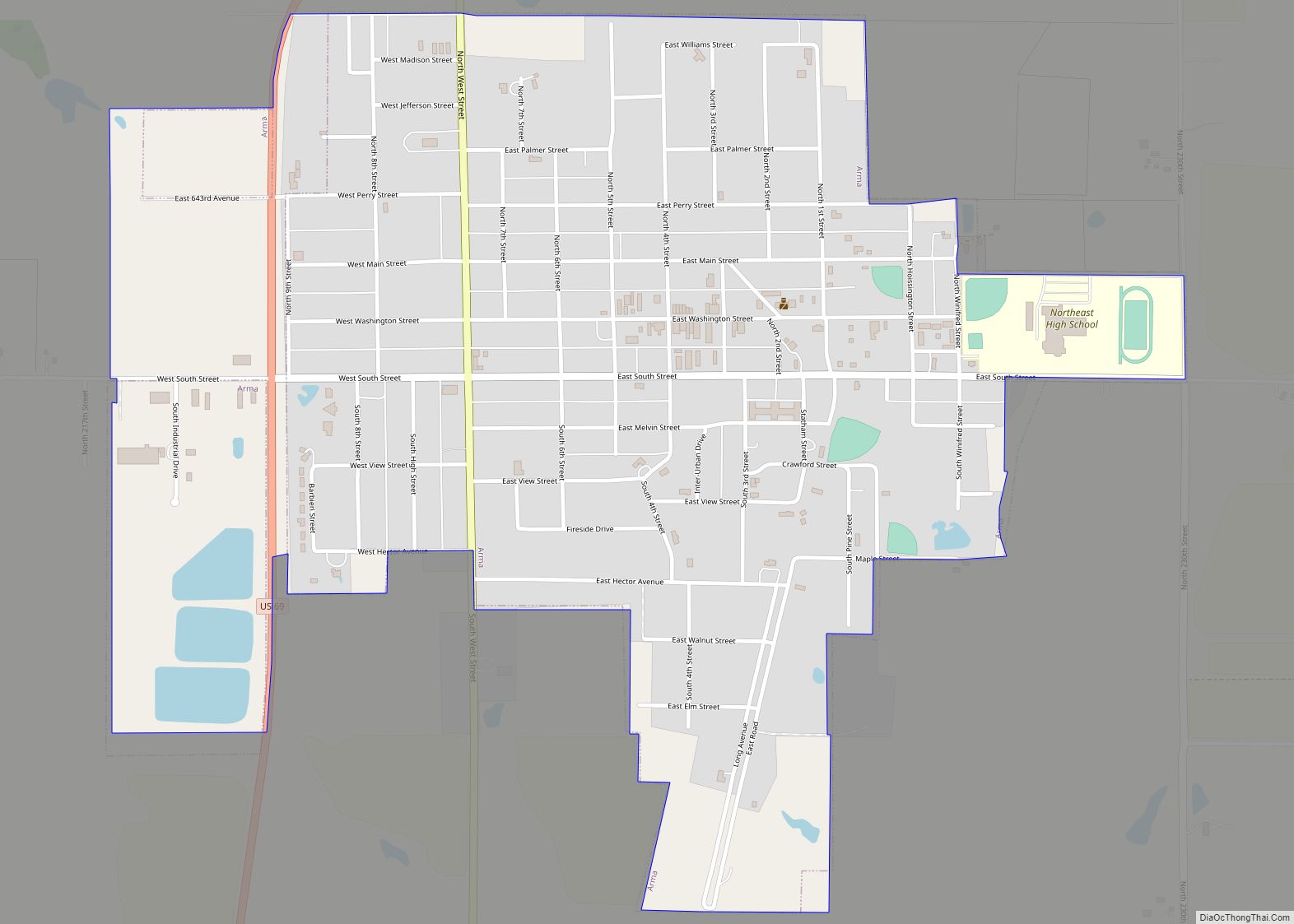
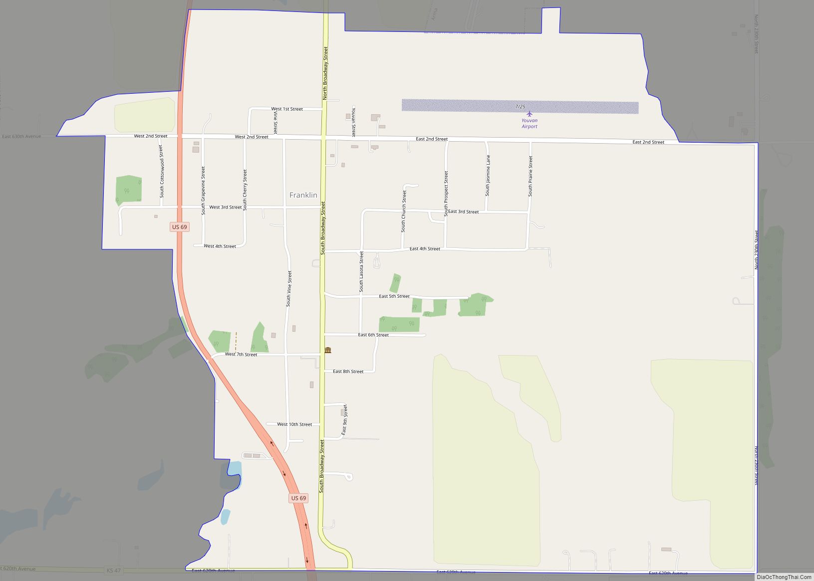
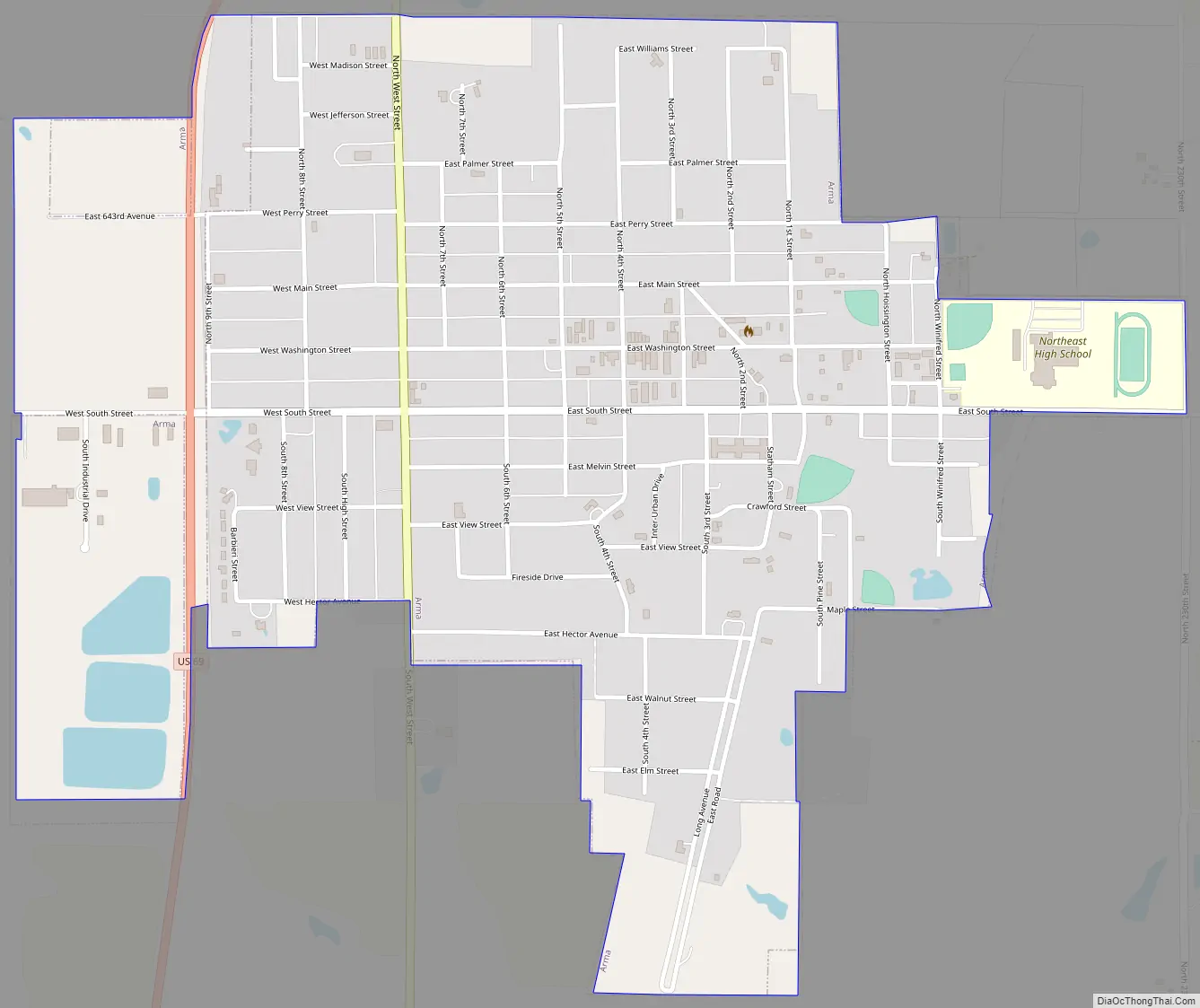
Arma Road Map
Arma city Satellite Map
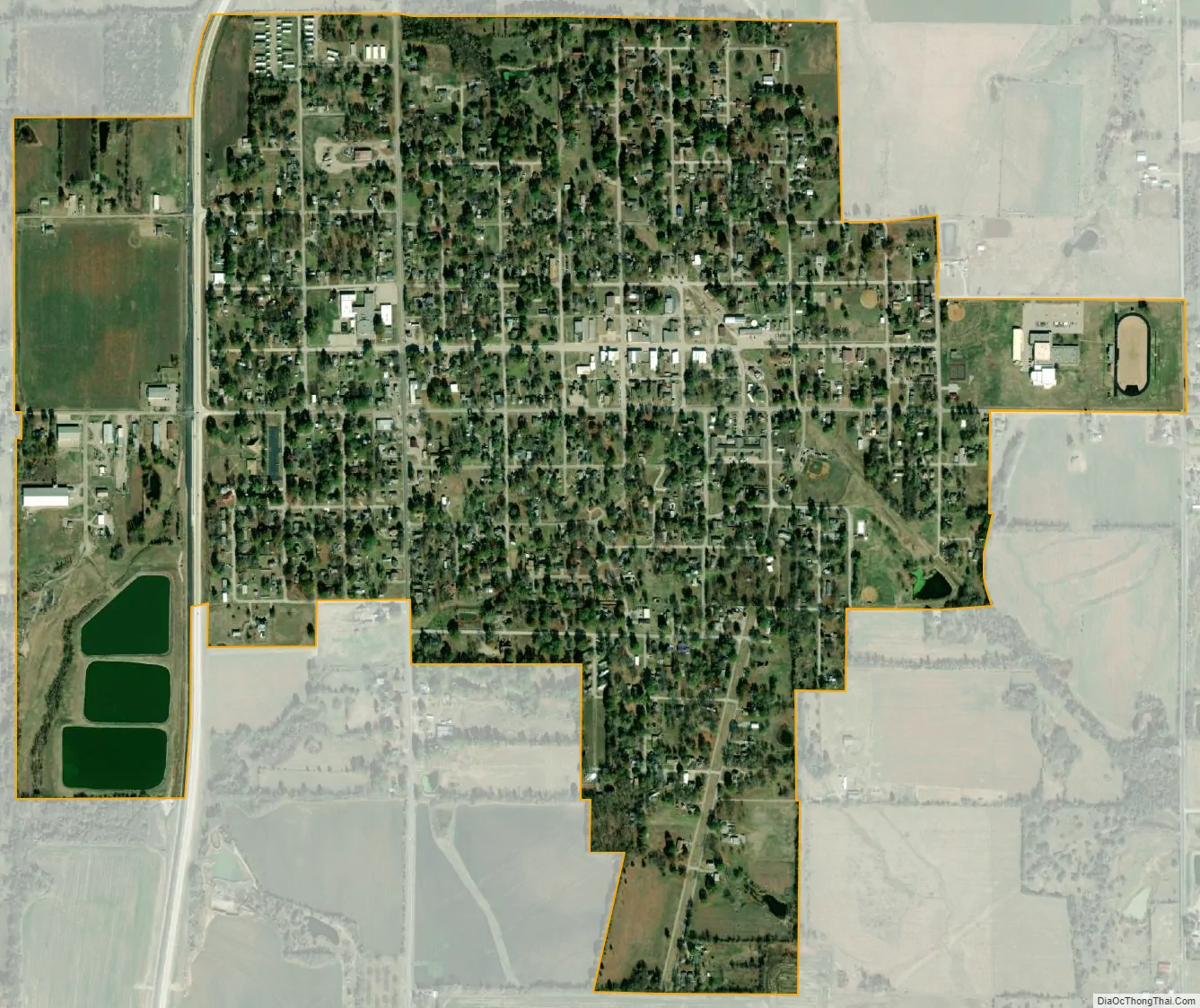
Geography
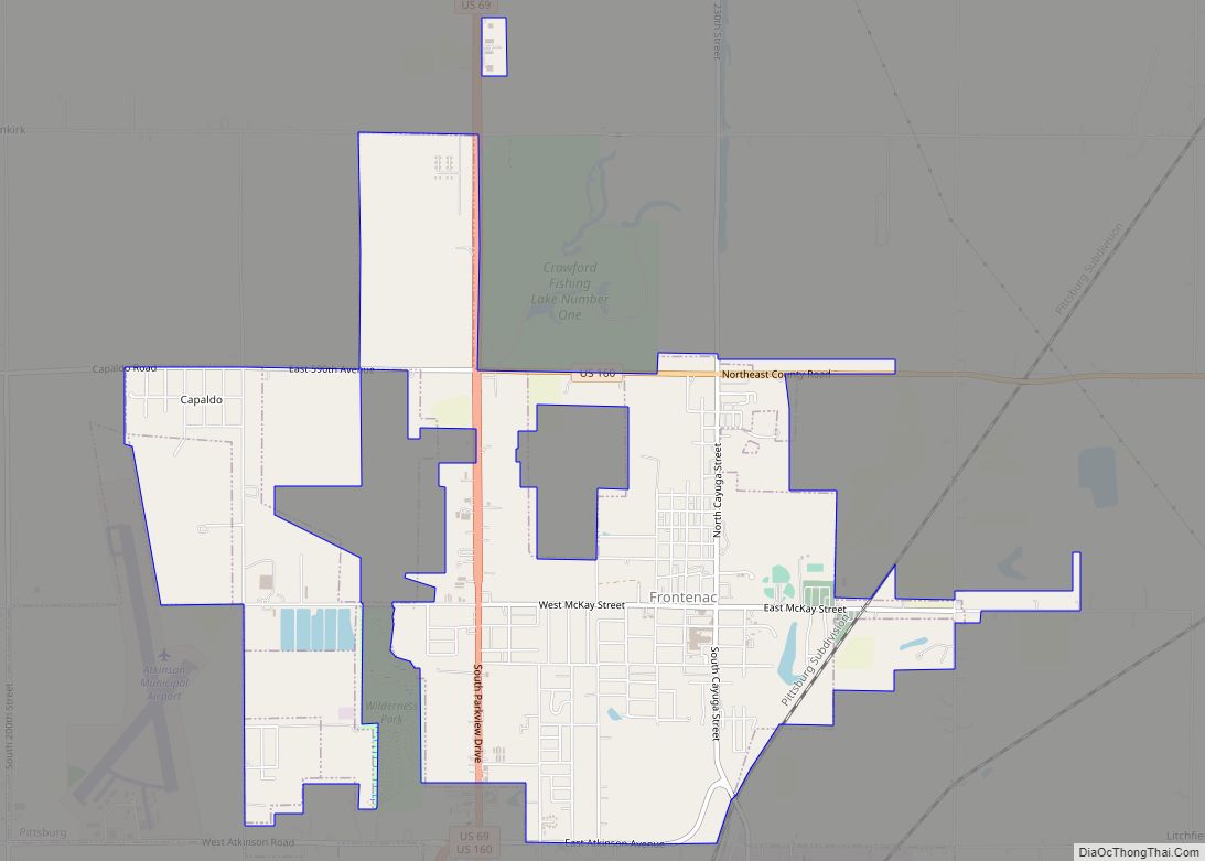
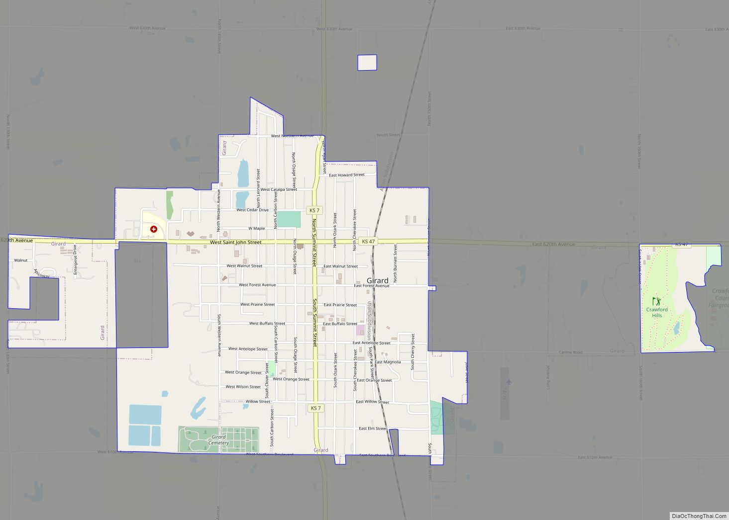
Arma is located at 37°32′37″N 94°42′2″W / 37.54361°N 94.70056°W / 37.54361; -94.70056 (37.543679, −94.700472). According to the United States Census Bureau, the city has a total area of 1.14 square miles (2.95 km), of which, 1.12 square miles (2.90 km) is land and 0.02 square miles (0.05 km) is water. It is located about 6 minutes’ drive north of Frontenac, and about 8 minutes’ drive east of Girard.
See also
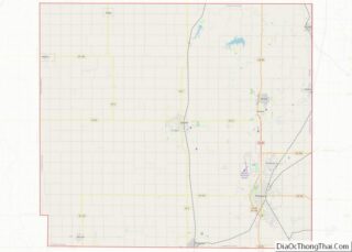
Map of Kansas State and its subdivision:- Allen
- Anderson
- Atchison
- Barber
- Barton
- Bourbon
- Brown
- Butler
- Chase
- Chautauqua
- Cherokee
- Cheyenne
- Clark
- Clay
- Cloud
- Coffey
- Comanche
- Cowley
- Crawford
- Decatur
- Dickinson
- Doniphan
- Douglas
- Edwards
- Elk
- Ellis
- Ellsworth
- Finney
- Ford
- Franklin
- Geary
- Gove
- Graham
- Grant
- Gray
- Greeley
- Greenwood
- Hamilton
- Harper
- Harvey
- Haskell
- Hodgeman
- Jackson
- Jefferson
- Jewell
- Johnson
- Kearny
- Kingman
- Kiowa
- Labette
- Lane
- Leavenworth
- Lincoln
- Linn
- Logan
- Lyon
- Marion
- Marshall
- McPherson
- Meade
- Miami
- Mitchell
- Montgomery
- Morris
- Morton
- Nemaha
- Neosho
- Ness
- Norton
- Osage
- Osborne
- Ottawa
- Pawnee
- Phillips
- Pottawatomie
- Pratt
- Rawlins
- Reno
- Republic
- Rice
- Riley
- Rooks
- Rush
- Russell
- Saline
- Scott
- Sedgwick
- Seward
- Shawnee
- Sheridan
- Sherman
- Smith
- Stafford
- Stanton
- Stevens
- Sumner
- Thomas
- Trego
- Wabaunsee
- Wallace
- Washington
- Wichita
- Wilson
- Woodson
- Wyandotte
- Alabama
- Alaska
- Arizona
- Arkansas
- California
- Colorado
- Connecticut
- Delaware
- District of Columbia
- Florida
- Georgia
- Hawaii
- Idaho
- Illinois
- Indiana
- Iowa
- Kansas
- Kentucky
- Louisiana
- Maine
- Maryland
- Massachusetts
- Michigan
- Minnesota
- Mississippi
- Missouri
- Montana
- Nebraska
- Nevada
- New Hampshire
- New Jersey
- New Mexico
- New York
- North Carolina
- North Dakota
- Ohio
- Oklahoma
- Oregon
- Pennsylvania
- Rhode Island
- South Carolina
- South Dakota
- Tennessee
- Texas
- Utah
- Vermont
- Virginia
- Washington
- West Virginia
- Wisconsin
- Wyoming