Axtell is a city in Marshall County, Kansas, United States. As of the 2020 census, the population of the city was 399.
| Name: | Axtell city |
|---|---|
| LSAD Code: | 25 |
| LSAD Description: | city (suffix) |
| State: | Kansas |
| County: | Marshall County |
| Founded: | 1860s |
| Incorporated: | 1887 |
| Elevation: | 1,365 ft (416 m) |
| Total Area: | 0.53 sq mi (1.37 km²) |
| Land Area: | 0.52 sq mi (1.36 km²) |
| Water Area: | 0.00 sq mi (0.01 km²) |
| Total Population: | 399 |
| Population Density: | 750/sq mi (290/km²) |
| ZIP code: | 66403 |
| Area code: | 785 |
| FIPS code: | 2003600 |
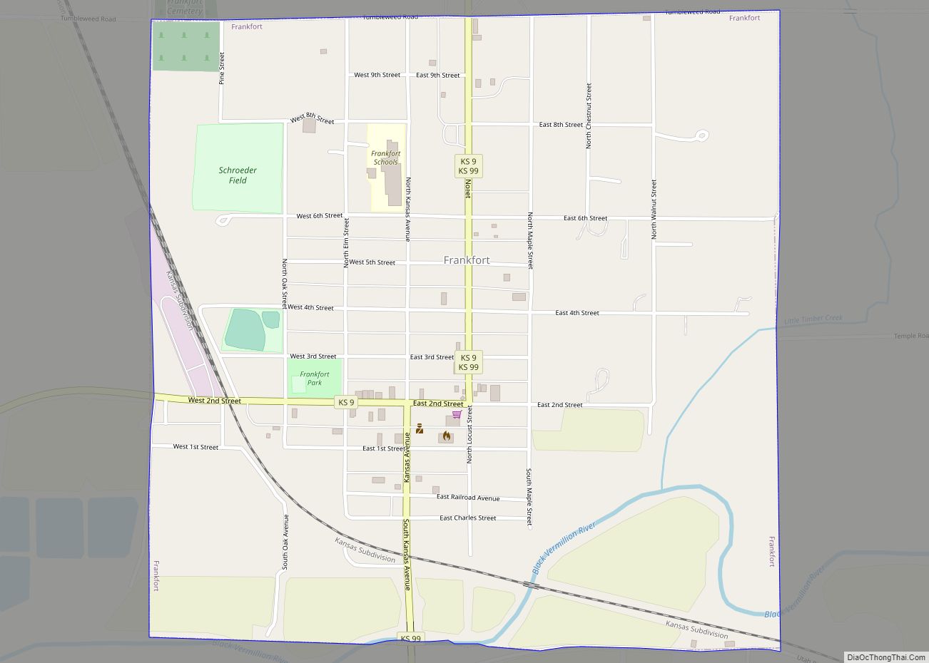
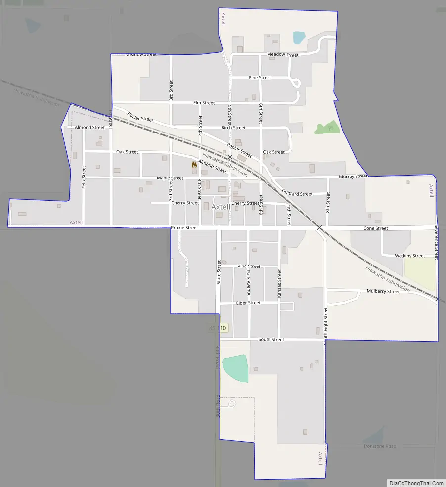
Online Interactive Map
Click on ![]() to view map in "full screen" mode.
to view map in "full screen" mode.
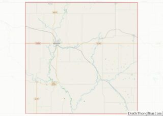
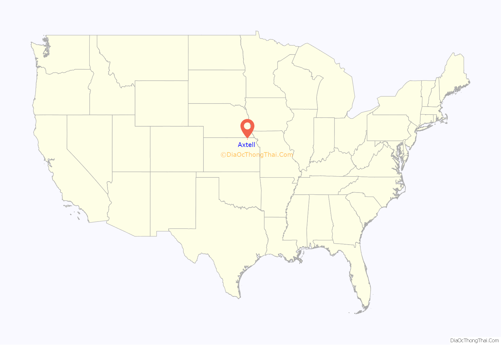
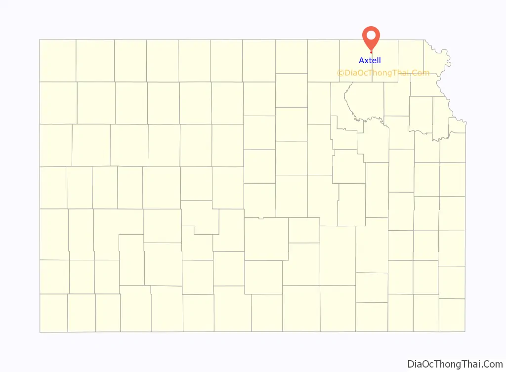
Axtell location map. Where is Axtell city?
History
The first settlements were made at Axtell in the 1860s. The first post office in Axtell was established in December 1871. Axtell was laid out in 1872 when the railroad was extended to that point, and a railroad depot was built that year. It was named for Jesse Axtell, a railroad official.
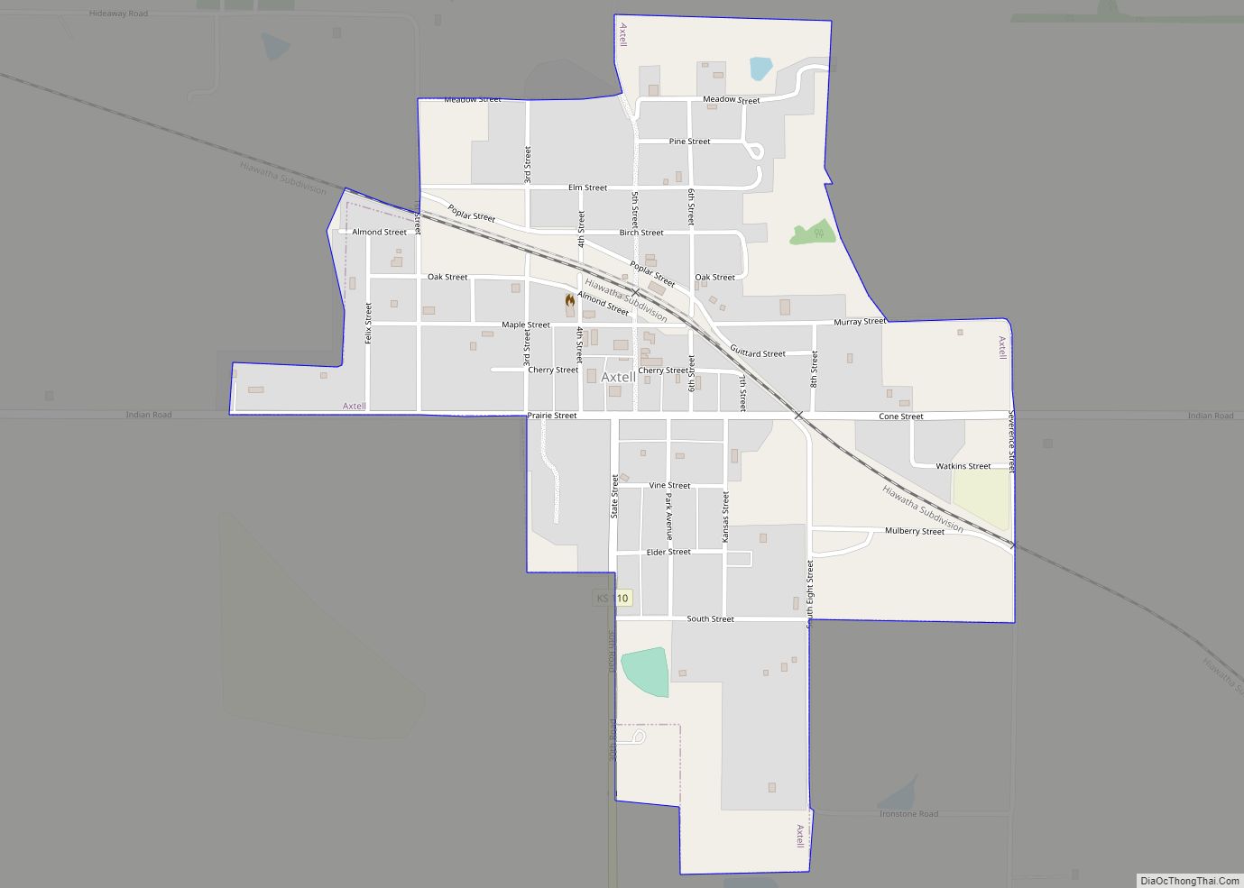
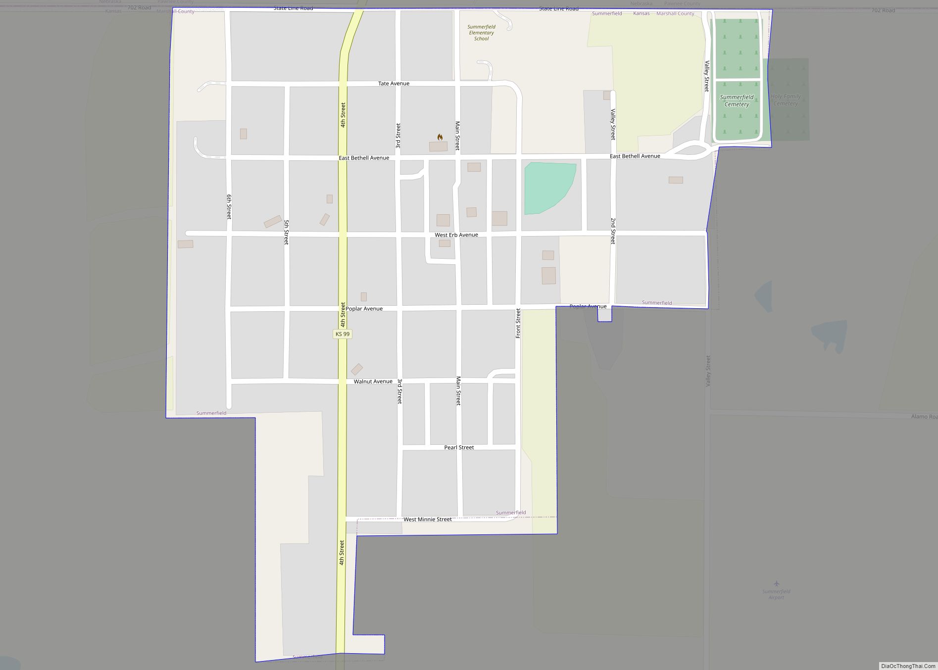
Axtell Road Map
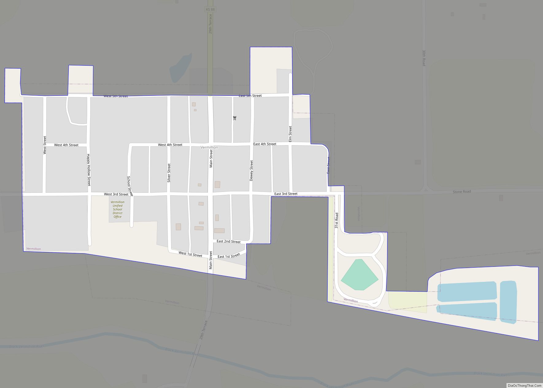
Axtell city Satellite Map

Geography
Axtell is located at 39°52′21″N 96°15′26″W / 39.87250°N 96.25722°W / 39.87250; -96.25722 (39.872447, -96.257361). According to the United States Census Bureau, the city has a total area of 0.51 square miles (1.32 km), all of it land.
Climate
This climatic region is typified by large seasonal temperature differences, with warm to hot (and often humid) summers and cold (sometimes severely cold) winters. According to the Köppen Climate Classification system, Axtell has a humid continental climate, abbreviated “Dfa” on climate maps.
See also
Map of Kansas State and its subdivision:- Allen
- Anderson
- Atchison
- Barber
- Barton
- Bourbon
- Brown
- Butler
- Chase
- Chautauqua
- Cherokee
- Cheyenne
- Clark
- Clay
- Cloud
- Coffey
- Comanche
- Cowley
- Crawford
- Decatur
- Dickinson
- Doniphan
- Douglas
- Edwards
- Elk
- Ellis
- Ellsworth
- Finney
- Ford
- Franklin
- Geary
- Gove
- Graham
- Grant
- Gray
- Greeley
- Greenwood
- Hamilton
- Harper
- Harvey
- Haskell
- Hodgeman
- Jackson
- Jefferson
- Jewell
- Johnson
- Kearny
- Kingman
- Kiowa
- Labette
- Lane
- Leavenworth
- Lincoln
- Linn
- Logan
- Lyon
- Marion
- Marshall
- McPherson
- Meade
- Miami
- Mitchell
- Montgomery
- Morris
- Morton
- Nemaha
- Neosho
- Ness
- Norton
- Osage
- Osborne
- Ottawa
- Pawnee
- Phillips
- Pottawatomie
- Pratt
- Rawlins
- Reno
- Republic
- Rice
- Riley
- Rooks
- Rush
- Russell
- Saline
- Scott
- Sedgwick
- Seward
- Shawnee
- Sheridan
- Sherman
- Smith
- Stafford
- Stanton
- Stevens
- Sumner
- Thomas
- Trego
- Wabaunsee
- Wallace
- Washington
- Wichita
- Wilson
- Woodson
- Wyandotte
- Alabama
- Alaska
- Arizona
- Arkansas
- California
- Colorado
- Connecticut
- Delaware
- District of Columbia
- Florida
- Georgia
- Hawaii
- Idaho
- Illinois
- Indiana
- Iowa
- Kansas
- Kentucky
- Louisiana
- Maine
- Maryland
- Massachusetts
- Michigan
- Minnesota
- Mississippi
- Missouri
- Montana
- Nebraska
- Nevada
- New Hampshire
- New Jersey
- New Mexico
- New York
- North Carolina
- North Dakota
- Ohio
- Oklahoma
- Oregon
- Pennsylvania
- Rhode Island
- South Carolina
- South Dakota
- Tennessee
- Texas
- Utah
- Vermont
- Virginia
- Washington
- West Virginia
- Wisconsin
- Wyoming