Bucklin is a city in Ford County, Kansas, United States. As of the 2020 census, the population of the city was 727.
| Name: | Bucklin city |
|---|---|
| LSAD Code: | 25 |
| LSAD Description: | city (suffix) |
| State: | Kansas |
| County: | Ford County |
| Founded: | 1880s |
| Incorporated: | 1909 (Bucklin) |
| Elevation: | 2,408 ft (734 m) |
| Total Area: | 0.60 sq mi (1.56 km²) |
| Land Area: | 0.57 sq mi (1.49 km²) |
| Water Area: | 0.03 sq mi (0.07 km²) |
| Total Population: | 727 |
| Population Density: | 1,200/sq mi (470/km²) |
| ZIP code: | 67834 |
| Area code: | 620 |
| FIPS code: | 2009000 |
| Website: | bucklinks.com |
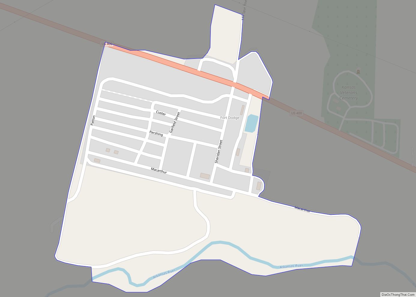
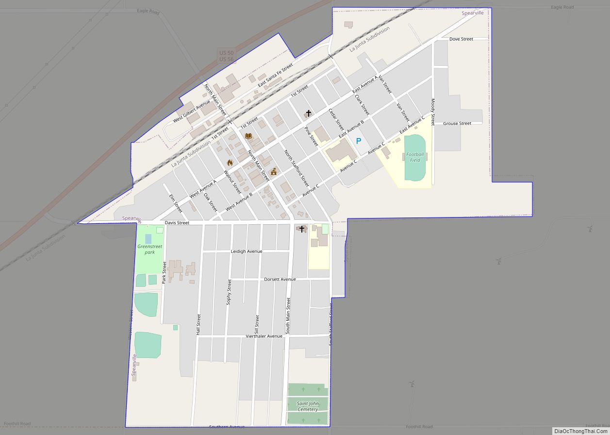
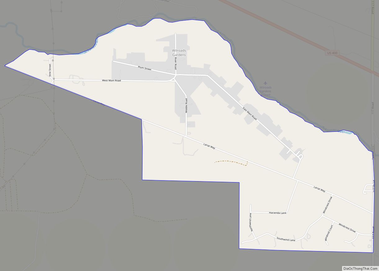
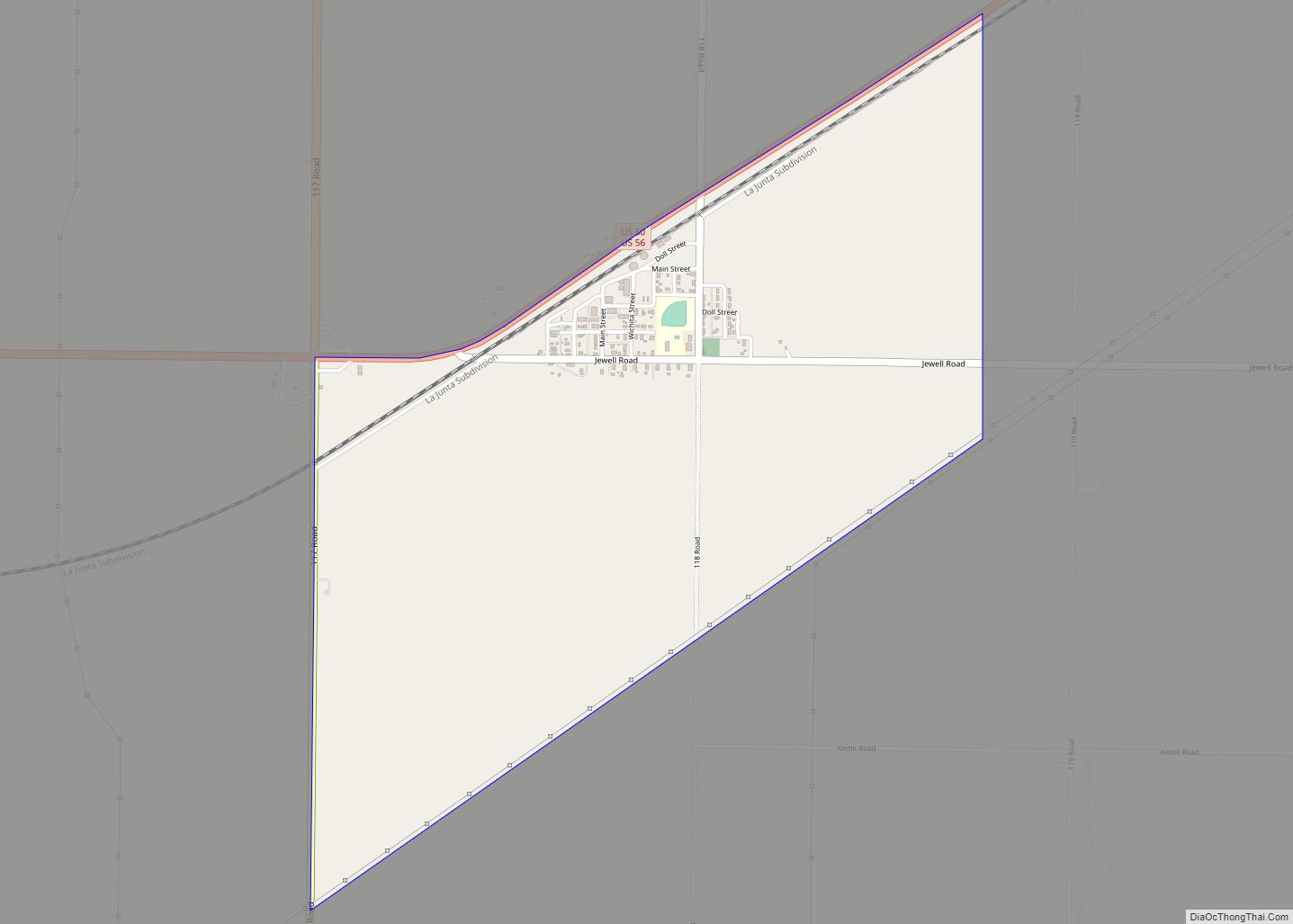
Online Interactive Map
Click on ![]() to view map in "full screen" mode.
to view map in "full screen" mode.
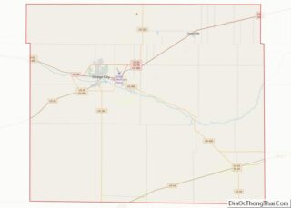
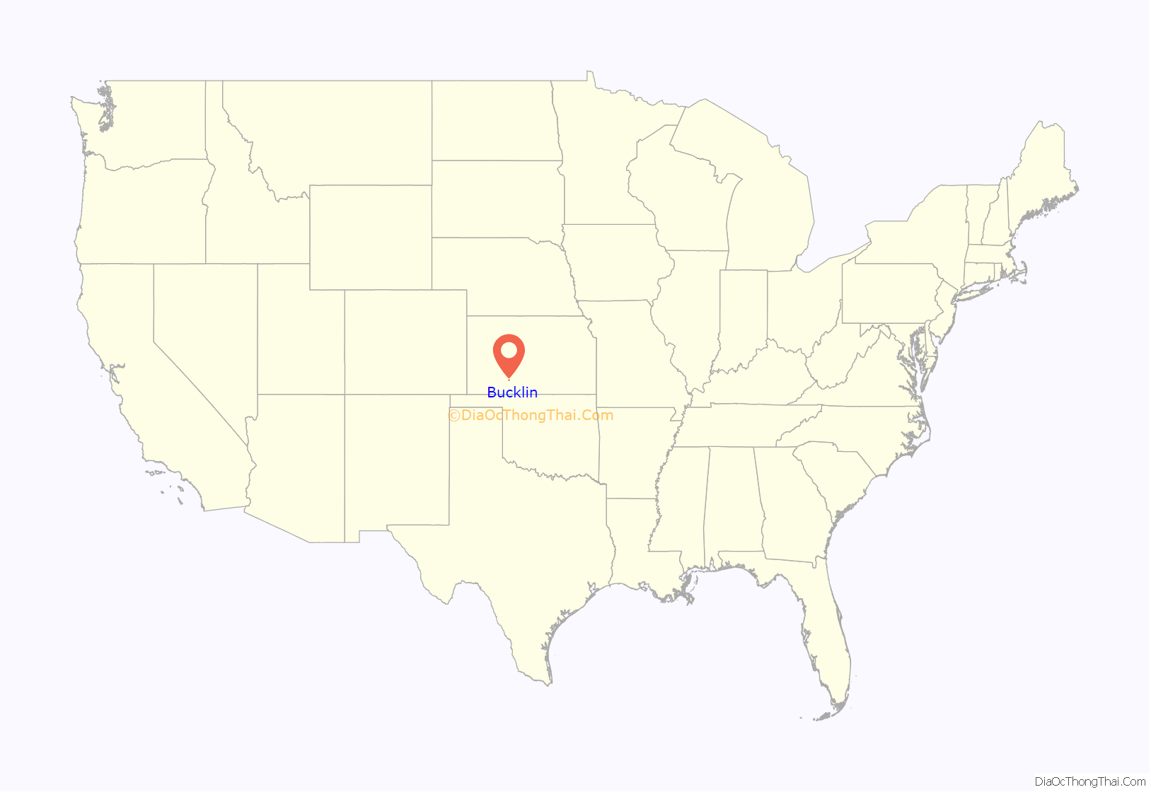
Bucklin location map. Where is Bucklin city?
History
The community was originally called Corbitt when it was laid out about 1885. It was renamed Bucklin in 1887, after Bucklin Township.
Bucklin was incorporated in 1909. It was situated at the junction of two railroads.
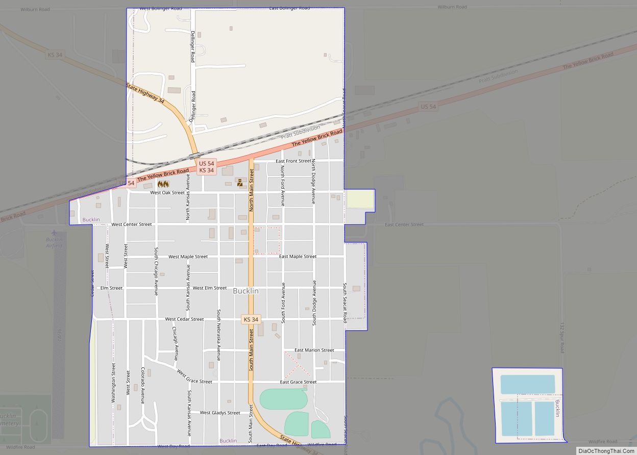
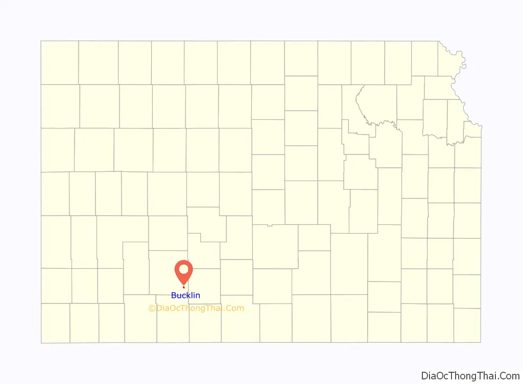
Bucklin Road Map

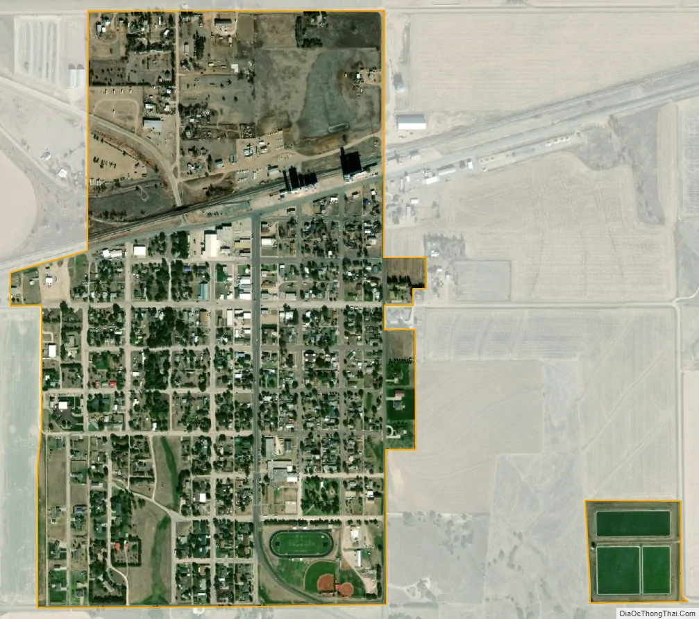
Bucklin city Satellite Map
Geography
Bucklin is located at 37°32′53″N 99°38′6″W / 37.54806°N 99.63500°W / 37.54806; -99.63500 (37.547942, -99.635001). According to the United States Census Bureau, the city has a total area of 0.59 square miles (1.53 km), of which 0.56 square miles (1.45 km) is land and 0.03 square miles (0.08 km) is water.
Climate
The climate in this area is characterized by hot, humid summers and generally mild to cool winters. According to the Köppen Climate Classification system, Bucklin has a humid subtropical climate, abbreviated “Cfa” on climate maps.
See also
Map of Kansas State and its subdivision:- Allen
- Anderson
- Atchison
- Barber
- Barton
- Bourbon
- Brown
- Butler
- Chase
- Chautauqua
- Cherokee
- Cheyenne
- Clark
- Clay
- Cloud
- Coffey
- Comanche
- Cowley
- Crawford
- Decatur
- Dickinson
- Doniphan
- Douglas
- Edwards
- Elk
- Ellis
- Ellsworth
- Finney
- Ford
- Franklin
- Geary
- Gove
- Graham
- Grant
- Gray
- Greeley
- Greenwood
- Hamilton
- Harper
- Harvey
- Haskell
- Hodgeman
- Jackson
- Jefferson
- Jewell
- Johnson
- Kearny
- Kingman
- Kiowa
- Labette
- Lane
- Leavenworth
- Lincoln
- Linn
- Logan
- Lyon
- Marion
- Marshall
- McPherson
- Meade
- Miami
- Mitchell
- Montgomery
- Morris
- Morton
- Nemaha
- Neosho
- Ness
- Norton
- Osage
- Osborne
- Ottawa
- Pawnee
- Phillips
- Pottawatomie
- Pratt
- Rawlins
- Reno
- Republic
- Rice
- Riley
- Rooks
- Rush
- Russell
- Saline
- Scott
- Sedgwick
- Seward
- Shawnee
- Sheridan
- Sherman
- Smith
- Stafford
- Stanton
- Stevens
- Sumner
- Thomas
- Trego
- Wabaunsee
- Wallace
- Washington
- Wichita
- Wilson
- Woodson
- Wyandotte
- Alabama
- Alaska
- Arizona
- Arkansas
- California
- Colorado
- Connecticut
- Delaware
- District of Columbia
- Florida
- Georgia
- Hawaii
- Idaho
- Illinois
- Indiana
- Iowa
- Kansas
- Kentucky
- Louisiana
- Maine
- Maryland
- Massachusetts
- Michigan
- Minnesota
- Mississippi
- Missouri
- Montana
- Nebraska
- Nevada
- New Hampshire
- New Jersey
- New Mexico
- New York
- North Carolina
- North Dakota
- Ohio
- Oklahoma
- Oregon
- Pennsylvania
- Rhode Island
- South Carolina
- South Dakota
- Tennessee
- Texas
- Utah
- Vermont
- Virginia
- Washington
- West Virginia
- Wisconsin
- Wyoming