Buhler is a city in Reno County, Kansas, United States. As of the 2020 census, the population of the city was 1,325.
| Name: | Buhler city |
|---|---|
| LSAD Code: | 25 |
| LSAD Description: | city (suffix) |
| State: | Kansas |
| County: | Reno County |
| Founded: | 1888 |
| Incorporated: | 1913 |
| Elevation: | 1,476 ft (450 m) |
| Total Area: | 0.71 sq mi (1.85 km²) |
| Land Area: | 0.71 sq mi (1.85 km²) |
| Water Area: | 0.00 sq mi (0.00 km²) |
| Total Population: | 1,325 |
| Population Density: | 1,900/sq mi (720/km²) |
| ZIP code: | 67522 |
| Area code: | 620 |
| FIPS code: | 2009200 |
| Website: | buhlerks.org |
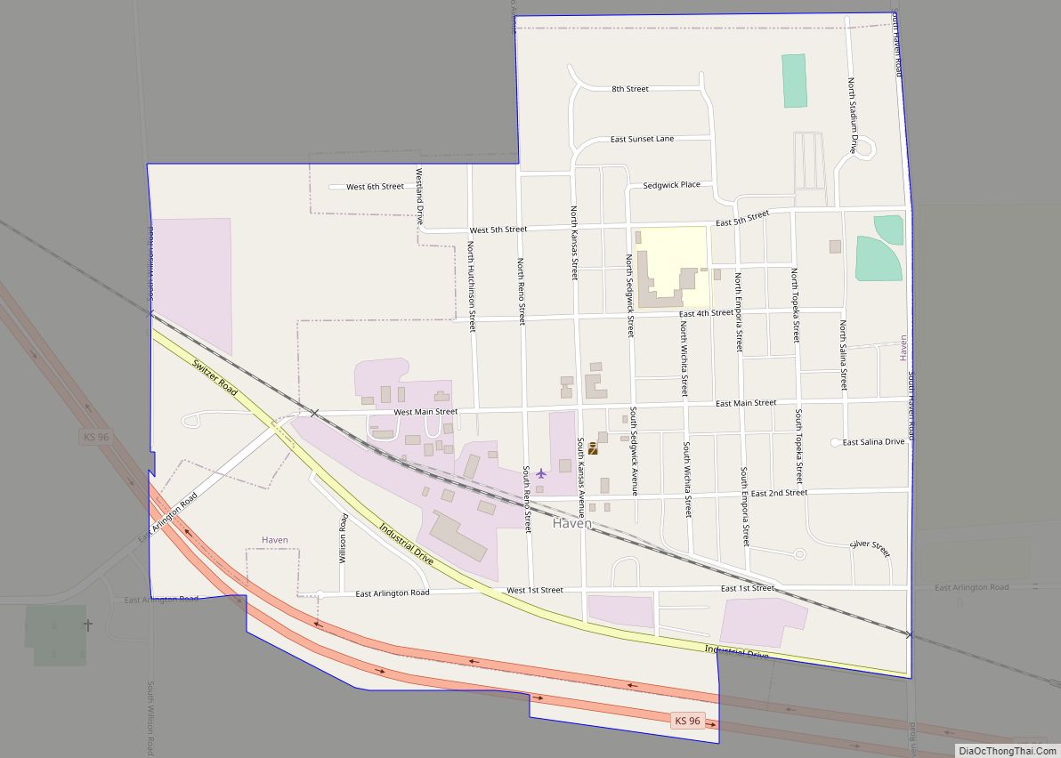
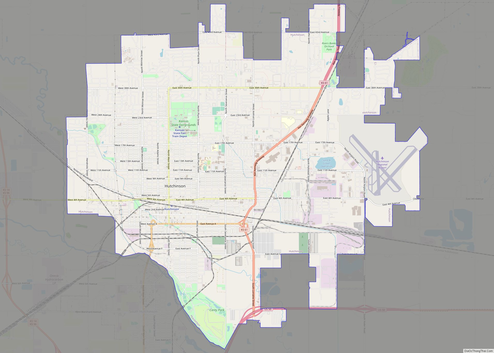
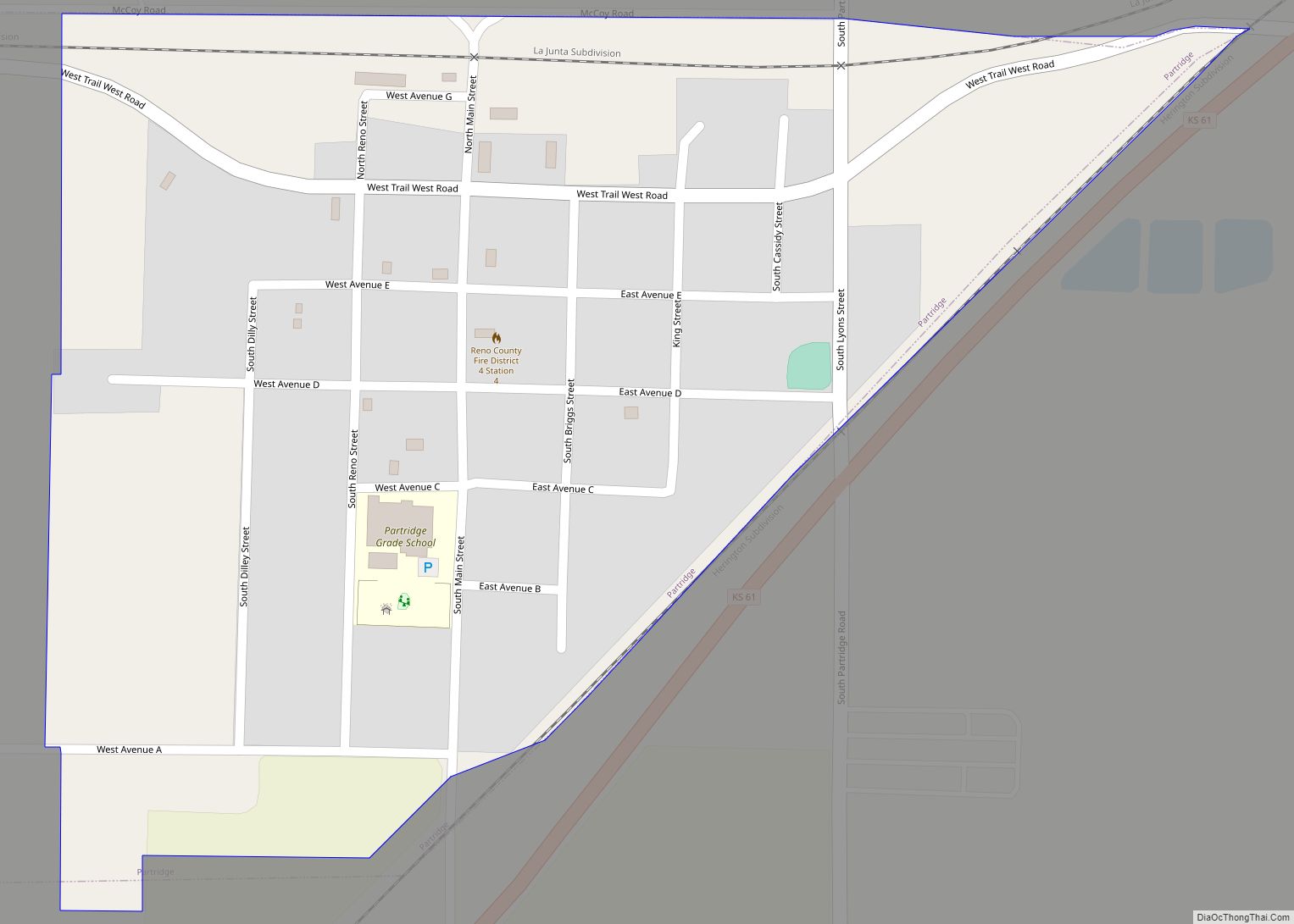
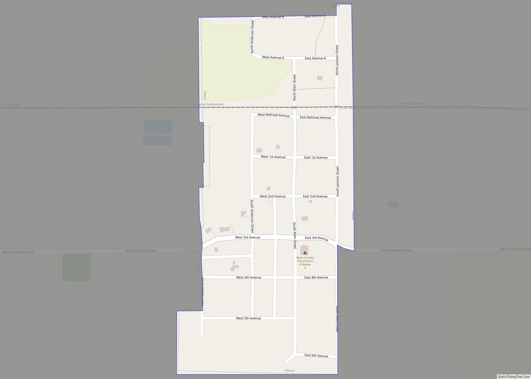
Online Interactive Map
Click on ![]() to view map in "full screen" mode.
to view map in "full screen" mode.
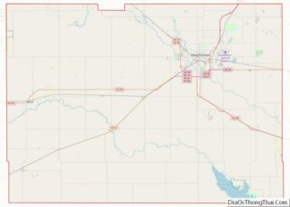
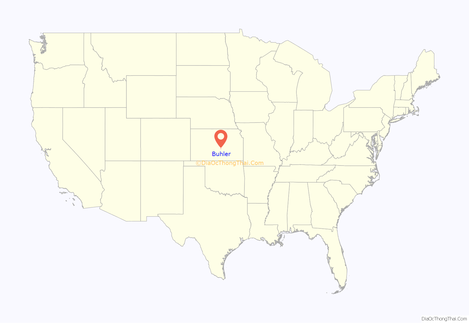
Buhler location map. Where is Buhler city?
History
The first post office in Buhler was established in 1888.
Buhler was primarily inhabited by Mennonite families that had emigrated from Russia during the 1880s.
In September 2012, the City of Buhler received a letter from the Freedom from Religion Foundation regarding a complaint about perceived constitutual violations about the city seal having a cross in it. In November 2012, the city stated that every legal opinion it had received indicated the city has no supportable case in the event that it was sued to legally force us to remove the seal and sign. If the city lost, it would be obligated to pay all the legal fees of the prevailing party. The city decided to hold a contest in January 2013 to redesign the city seal without specific reference to religion.
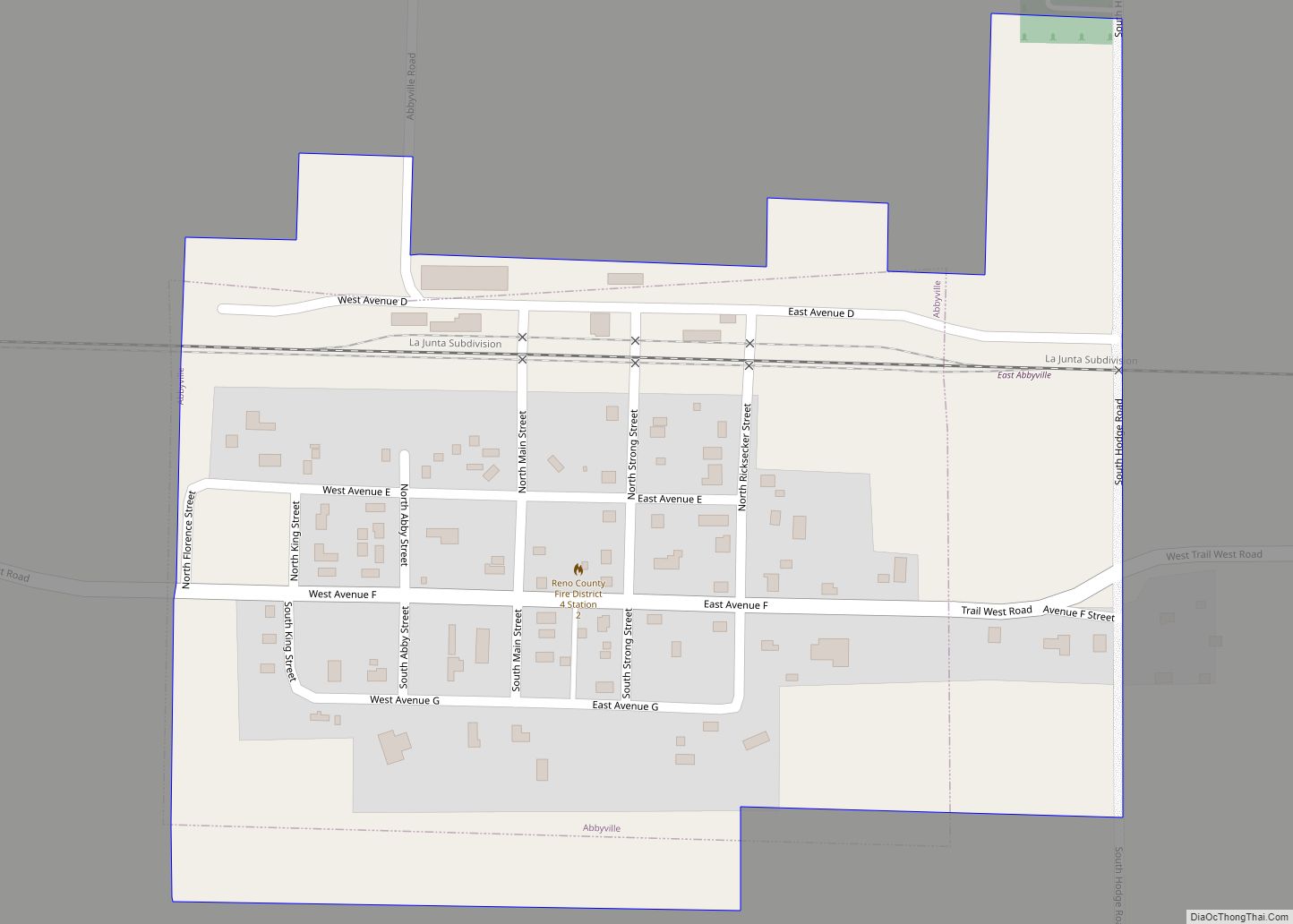
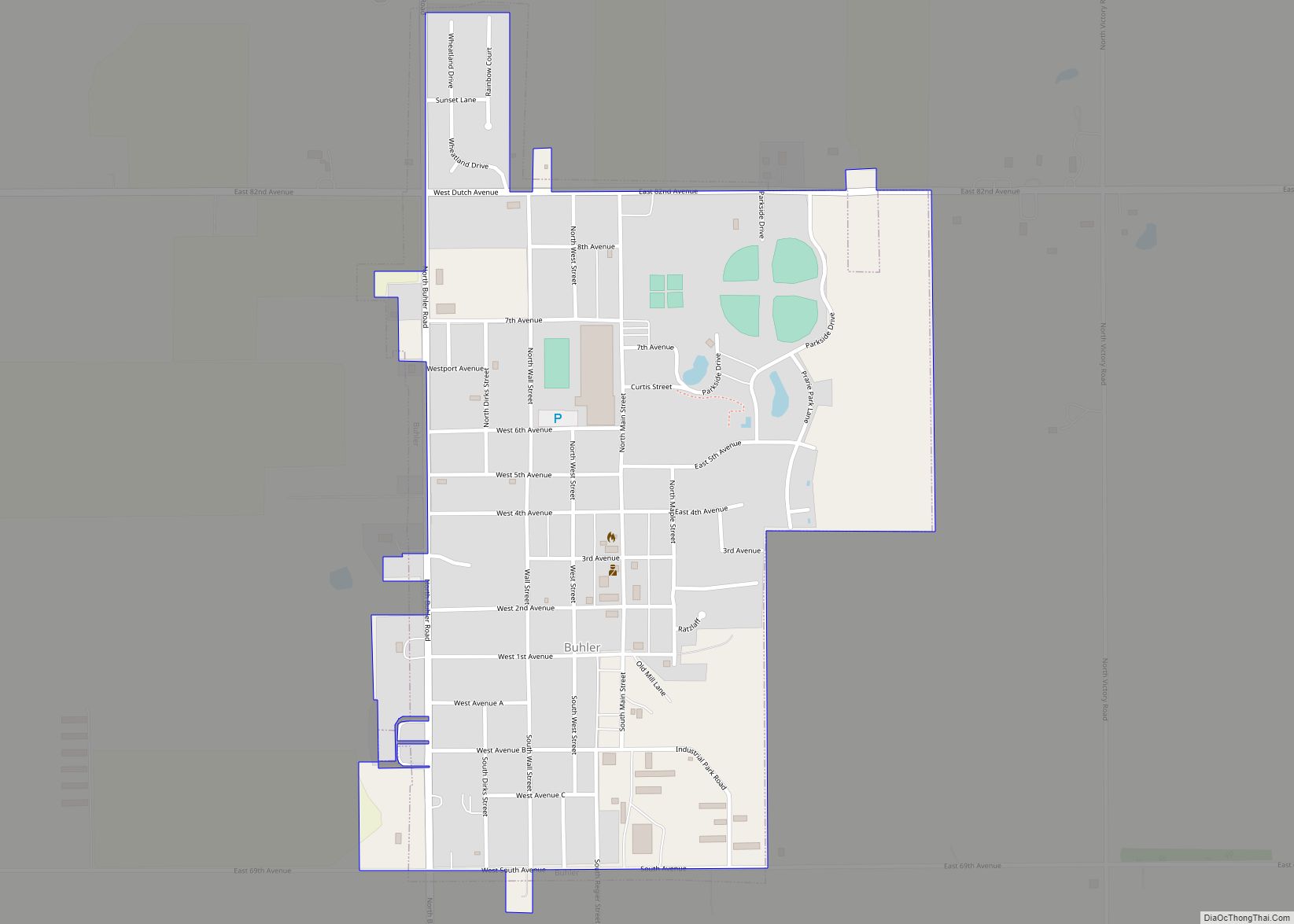
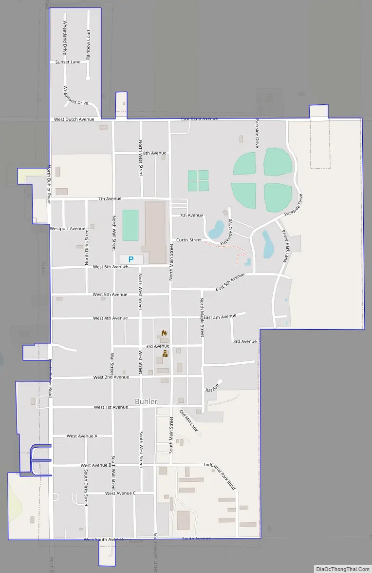
Buhler Road Map
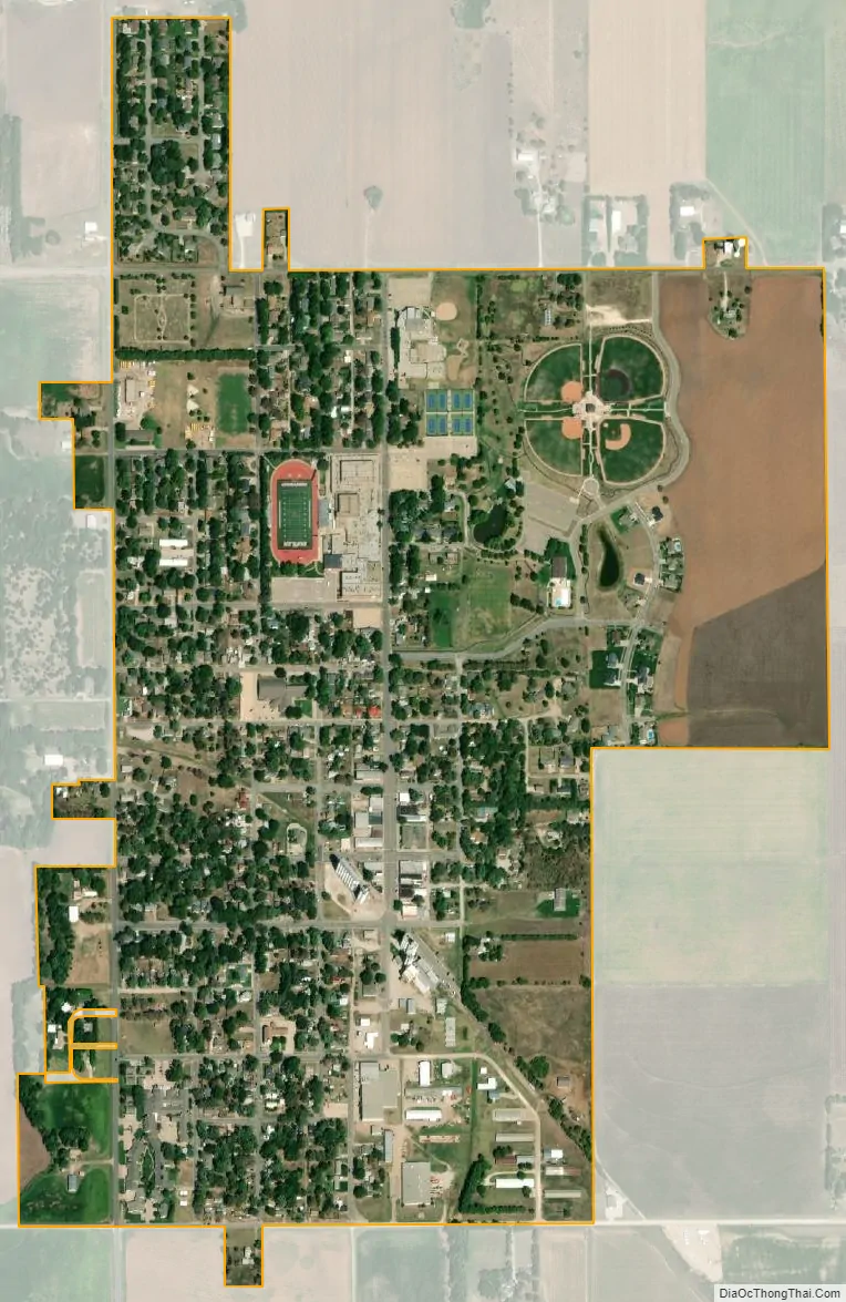
Buhler city Satellite Map
Geography
Buhler is located at 38°8′17″N 97°46′22″W / 38.13806°N 97.77278°W / 38.13806; -97.77278 (38.138147, -97.772891). According to the United States Census Bureau, the city has a total area of 0.72 square miles (1.86 km), all of it land.
See also
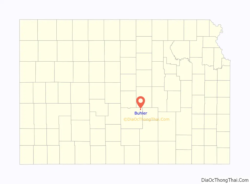
Map of Kansas State and its subdivision:- Allen
- Anderson
- Atchison
- Barber
- Barton
- Bourbon
- Brown
- Butler
- Chase
- Chautauqua
- Cherokee
- Cheyenne
- Clark
- Clay
- Cloud
- Coffey
- Comanche
- Cowley
- Crawford
- Decatur
- Dickinson
- Doniphan
- Douglas
- Edwards
- Elk
- Ellis
- Ellsworth
- Finney
- Ford
- Franklin
- Geary
- Gove
- Graham
- Grant
- Gray
- Greeley
- Greenwood
- Hamilton
- Harper
- Harvey
- Haskell
- Hodgeman
- Jackson
- Jefferson
- Jewell
- Johnson
- Kearny
- Kingman
- Kiowa
- Labette
- Lane
- Leavenworth
- Lincoln
- Linn
- Logan
- Lyon
- Marion
- Marshall
- McPherson
- Meade
- Miami
- Mitchell
- Montgomery
- Morris
- Morton
- Nemaha
- Neosho
- Ness
- Norton
- Osage
- Osborne
- Ottawa
- Pawnee
- Phillips
- Pottawatomie
- Pratt
- Rawlins
- Reno
- Republic
- Rice
- Riley
- Rooks
- Rush
- Russell
- Saline
- Scott
- Sedgwick
- Seward
- Shawnee
- Sheridan
- Sherman
- Smith
- Stafford
- Stanton
- Stevens
- Sumner
- Thomas
- Trego
- Wabaunsee
- Wallace
- Washington
- Wichita
- Wilson
- Woodson
- Wyandotte
- Alabama
- Alaska
- Arizona
- Arkansas
- California
- Colorado
- Connecticut
- Delaware
- District of Columbia
- Florida
- Georgia
- Hawaii
- Idaho
- Illinois
- Indiana
- Iowa
- Kansas
- Kentucky
- Louisiana
- Maine
- Maryland
- Massachusetts
- Michigan
- Minnesota
- Mississippi
- Missouri
- Montana
- Nebraska
- Nevada
- New Hampshire
- New Jersey
- New Mexico
- New York
- North Carolina
- North Dakota
- Ohio
- Oklahoma
- Oregon
- Pennsylvania
- Rhode Island
- South Carolina
- South Dakota
- Tennessee
- Texas
- Utah
- Vermont
- Virginia
- Washington
- West Virginia
- Wisconsin
- Wyoming