Centralia is a city in Nemaha County, Kansas, United States. As of the 2020 census, the population of the city was 485.
| Name: | Centralia city |
|---|---|
| LSAD Code: | 25 |
| LSAD Description: | city (suffix) |
| State: | Kansas |
| County: | Nemaha County |
| Founded: | 1859 |
| Incorporated: | 1882 |
| Elevation: | 1,280 ft (390 m) |
| Total Area: | 0.45 sq mi (1.17 km²) |
| Land Area: | 0.45 sq mi (1.17 km²) |
| Water Area: | 0.00 sq mi (0.00 km²) |
| Total Population: | 485 |
| Population Density: | 1,100/sq mi (410/km²) |
| ZIP code: | 66415 |
| Area code: | 785 |
| FIPS code: | 2012425 |
| Website: | cityofcentraliaks.org |
Online Interactive Map
Click on ![]() to view map in "full screen" mode.
to view map in "full screen" mode.
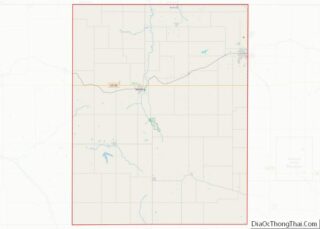
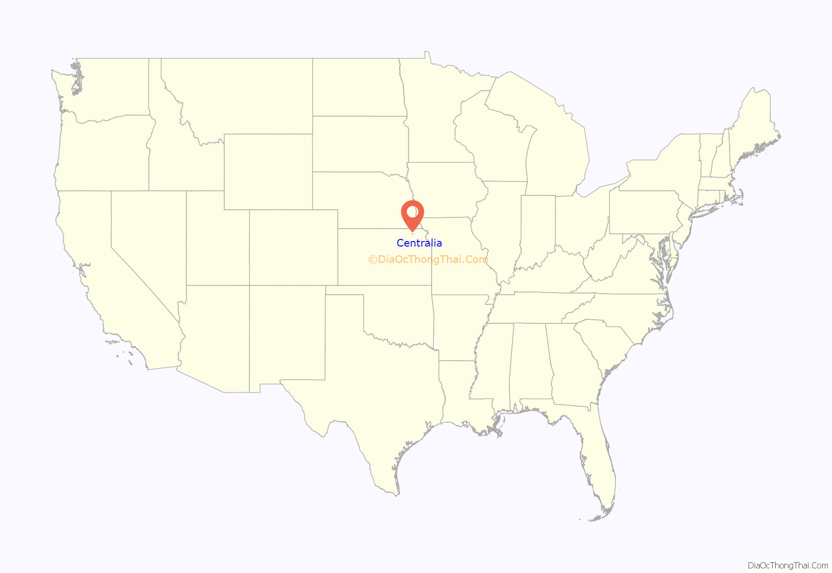
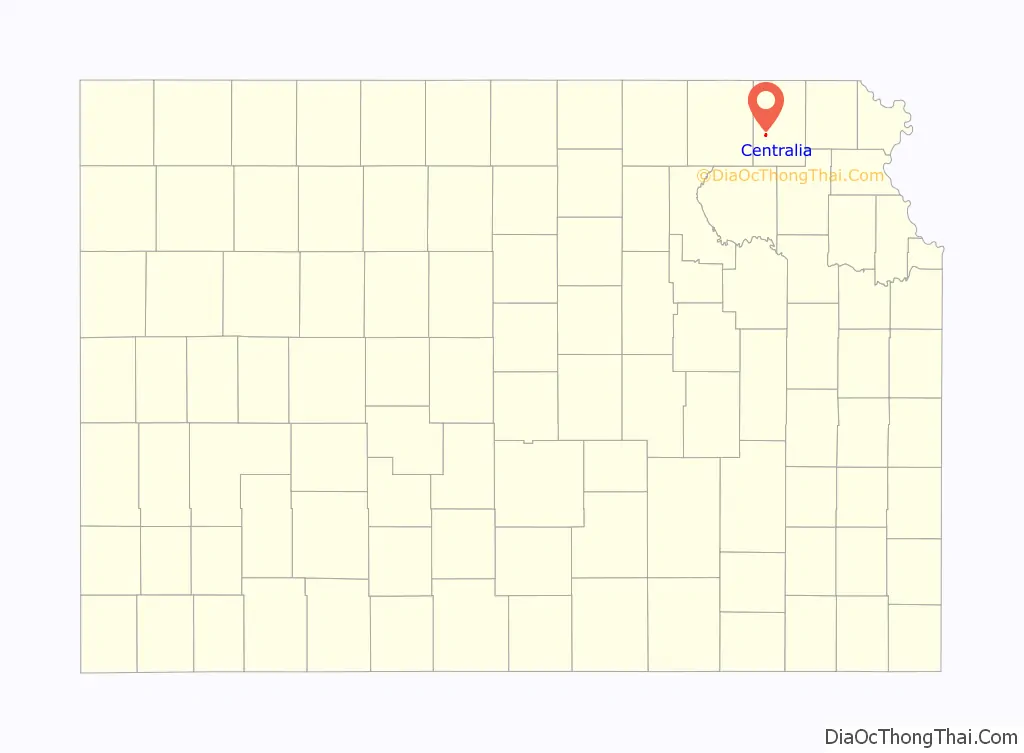
Centralia location map. Where is Centralia city?
History
Centralia was founded in 1859, one mile north of the present town. When a railroad was built through the territory in 1867, Centralia was moved to the site. Centralia was incorporated in 1882. One of the early residents of Centralia was Floyd Perry Baker, a Kansas politician and newspaper editor, who moved there with his family from Andrew County, Missouri around 1860.
In 1901, Centralia was the scene of violent conflicts between whites and African Americans. By this time, Centralia had a sundown town policy forbidding blacks from living in the area.
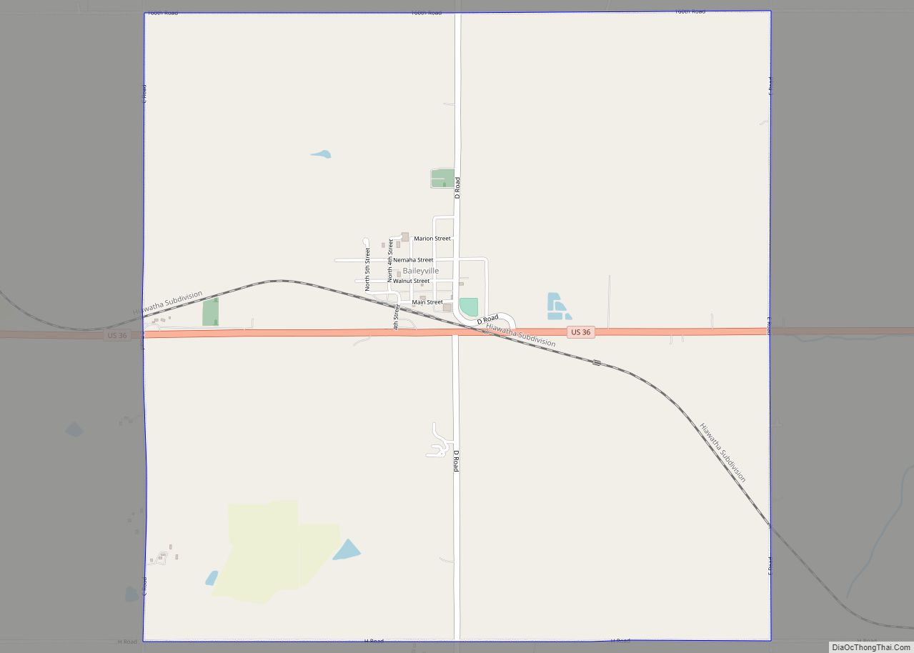
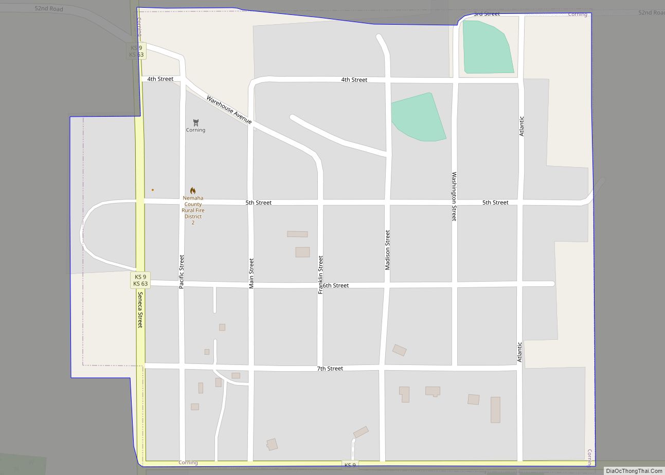
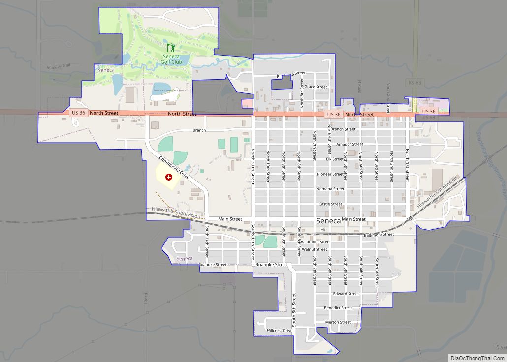
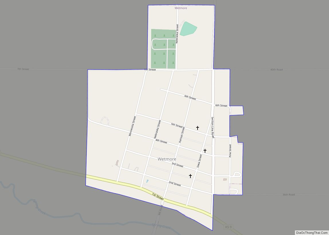
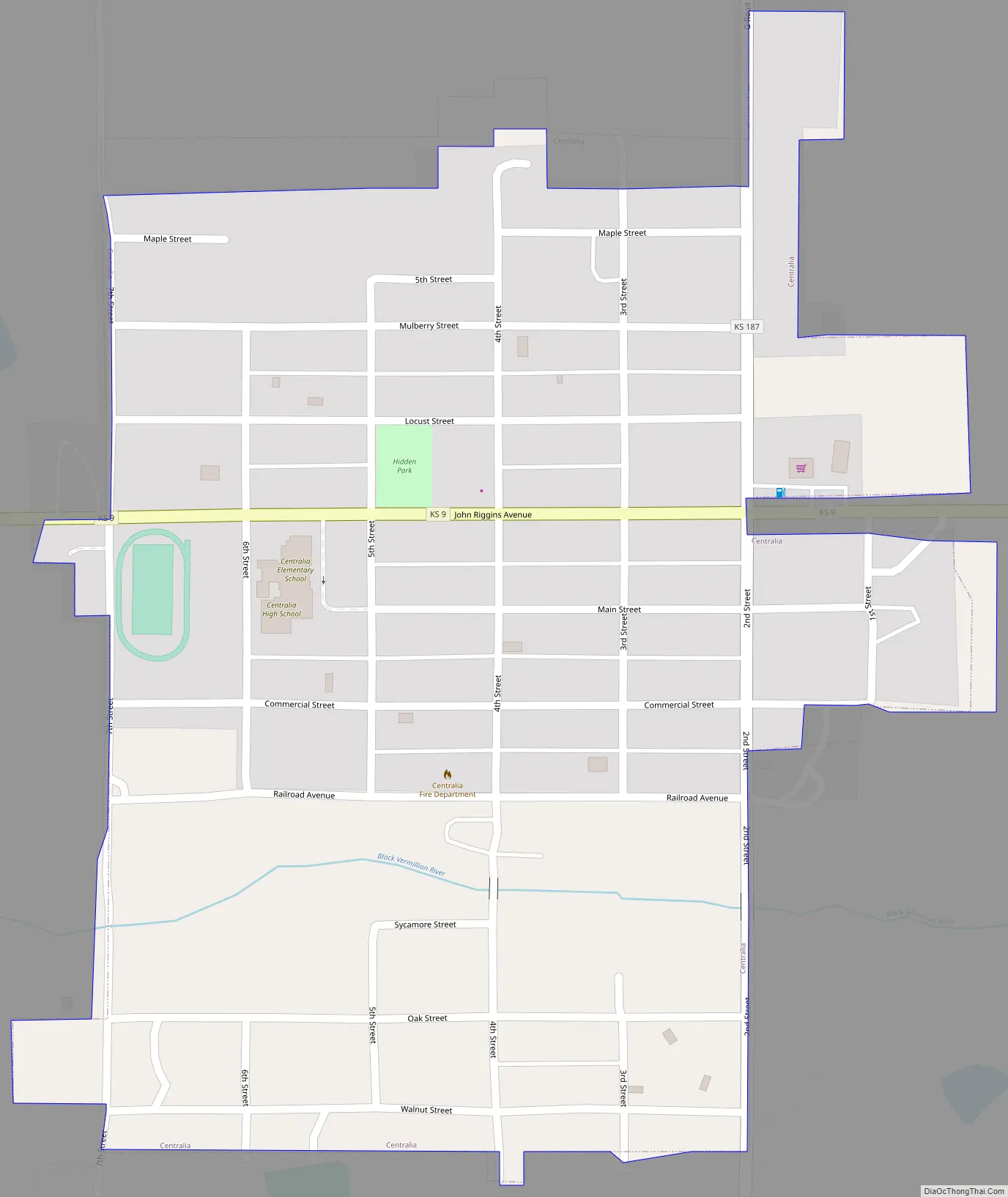
Centralia Road Map
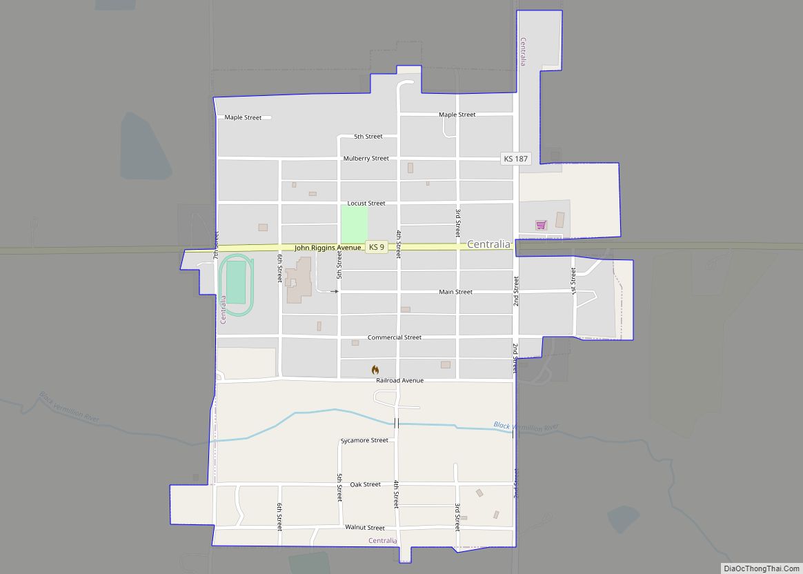
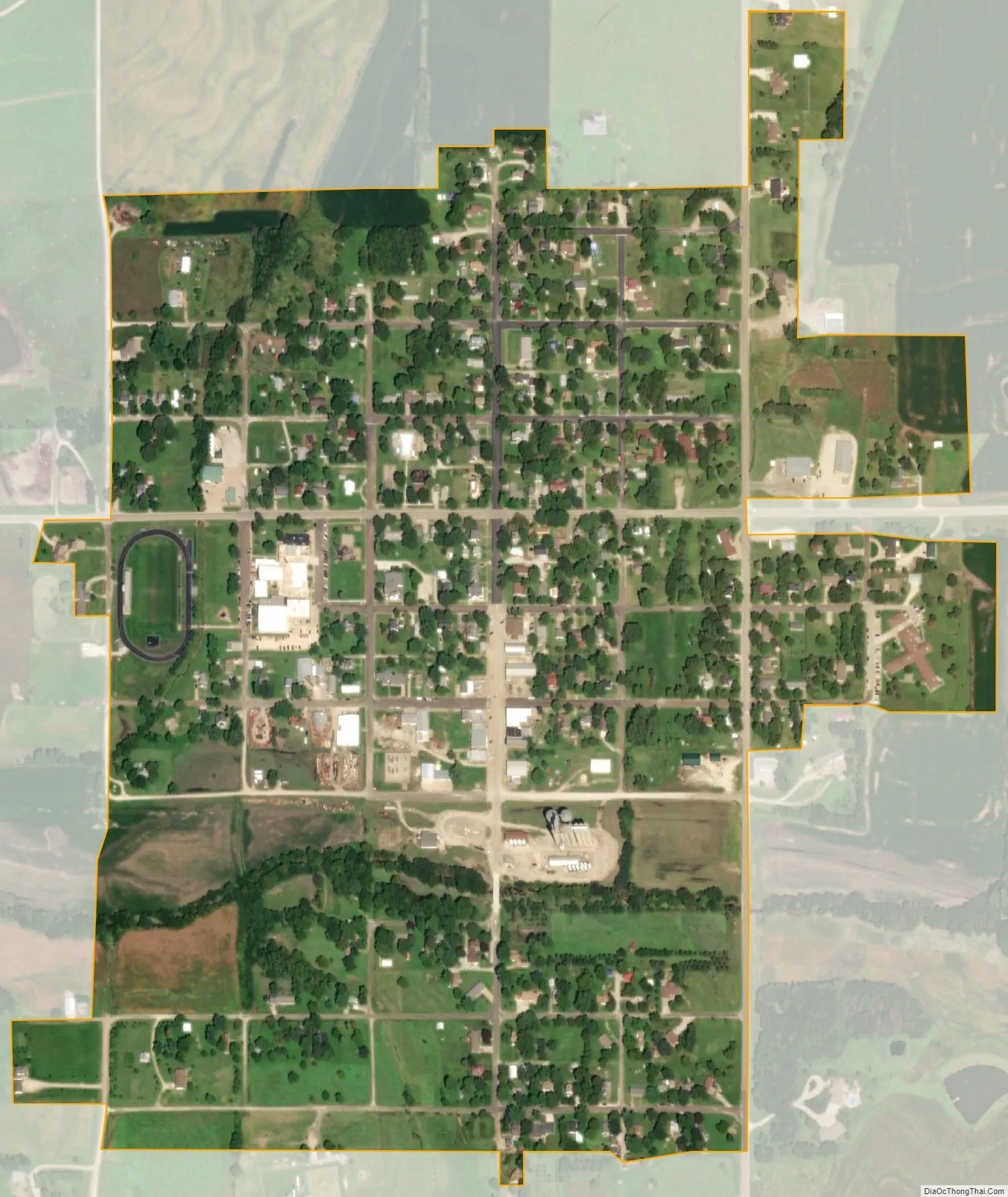
Centralia city Satellite Map
Geography
Centralia is located at 39°43′27″N 96°7′52″W / 39.72417°N 96.13111°W / 39.72417; -96.13111 (39.724032, -96.131079). According to the United States Census Bureau, the city has a total area of 0.47 square miles (1.22 km), all land.
Climate
This climatic region is typified by large seasonal temperature differences, with warm to hot (and often humid) summers and cold (sometimes severely cold) winters. According to the Köppen Climate Classification system, Centralia has a humid continental climate, abbreviated “Dfa” on climate maps.
See also
Map of Kansas State and its subdivision:- Allen
- Anderson
- Atchison
- Barber
- Barton
- Bourbon
- Brown
- Butler
- Chase
- Chautauqua
- Cherokee
- Cheyenne
- Clark
- Clay
- Cloud
- Coffey
- Comanche
- Cowley
- Crawford
- Decatur
- Dickinson
- Doniphan
- Douglas
- Edwards
- Elk
- Ellis
- Ellsworth
- Finney
- Ford
- Franklin
- Geary
- Gove
- Graham
- Grant
- Gray
- Greeley
- Greenwood
- Hamilton
- Harper
- Harvey
- Haskell
- Hodgeman
- Jackson
- Jefferson
- Jewell
- Johnson
- Kearny
- Kingman
- Kiowa
- Labette
- Lane
- Leavenworth
- Lincoln
- Linn
- Logan
- Lyon
- Marion
- Marshall
- McPherson
- Meade
- Miami
- Mitchell
- Montgomery
- Morris
- Morton
- Nemaha
- Neosho
- Ness
- Norton
- Osage
- Osborne
- Ottawa
- Pawnee
- Phillips
- Pottawatomie
- Pratt
- Rawlins
- Reno
- Republic
- Rice
- Riley
- Rooks
- Rush
- Russell
- Saline
- Scott
- Sedgwick
- Seward
- Shawnee
- Sheridan
- Sherman
- Smith
- Stafford
- Stanton
- Stevens
- Sumner
- Thomas
- Trego
- Wabaunsee
- Wallace
- Washington
- Wichita
- Wilson
- Woodson
- Wyandotte
- Alabama
- Alaska
- Arizona
- Arkansas
- California
- Colorado
- Connecticut
- Delaware
- District of Columbia
- Florida
- Georgia
- Hawaii
- Idaho
- Illinois
- Indiana
- Iowa
- Kansas
- Kentucky
- Louisiana
- Maine
- Maryland
- Massachusetts
- Michigan
- Minnesota
- Mississippi
- Missouri
- Montana
- Nebraska
- Nevada
- New Hampshire
- New Jersey
- New Mexico
- New York
- North Carolina
- North Dakota
- Ohio
- Oklahoma
- Oregon
- Pennsylvania
- Rhode Island
- South Carolina
- South Dakota
- Tennessee
- Texas
- Utah
- Vermont
- Virginia
- Washington
- West Virginia
- Wisconsin
- Wyoming