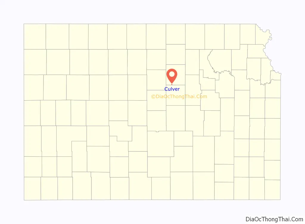
Culver is a city in Ottawa County, Kansas, United States. As of the 2020 census, the population of the city was 114. It is located northwest of Salina at the intersection of 90th Road and Aspen Road, next to an abandoned railroad.
| Name: | Culver city |
|---|---|
| LSAD Code: | 25 |
| LSAD Description: | city (suffix) |
| State: | Kansas |
| County: | Ottawa County |
| Founded: | 1870s |
| Incorporated: | 1909 |
| Elevation: | 1,260 ft (380 m) |
| Total Area: | 0.14 sq mi (0.35 km²) |
| Land Area: | 0.14 sq mi (0.35 km²) |
| Water Area: | 0.00 sq mi (0.00 km²) |
| Total Population: | 114 |
| Population Density: | 810/sq mi (330/km²) |
| ZIP code: | 67484 |
| Area code: | 785 |
| FIPS code: | 2016700 |
| Website: | cityofculverkansas.org |
Online Interactive Map
Click on ![]() to view map in "full screen" mode.
to view map in "full screen" mode.
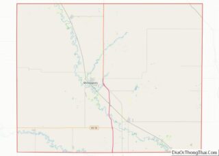
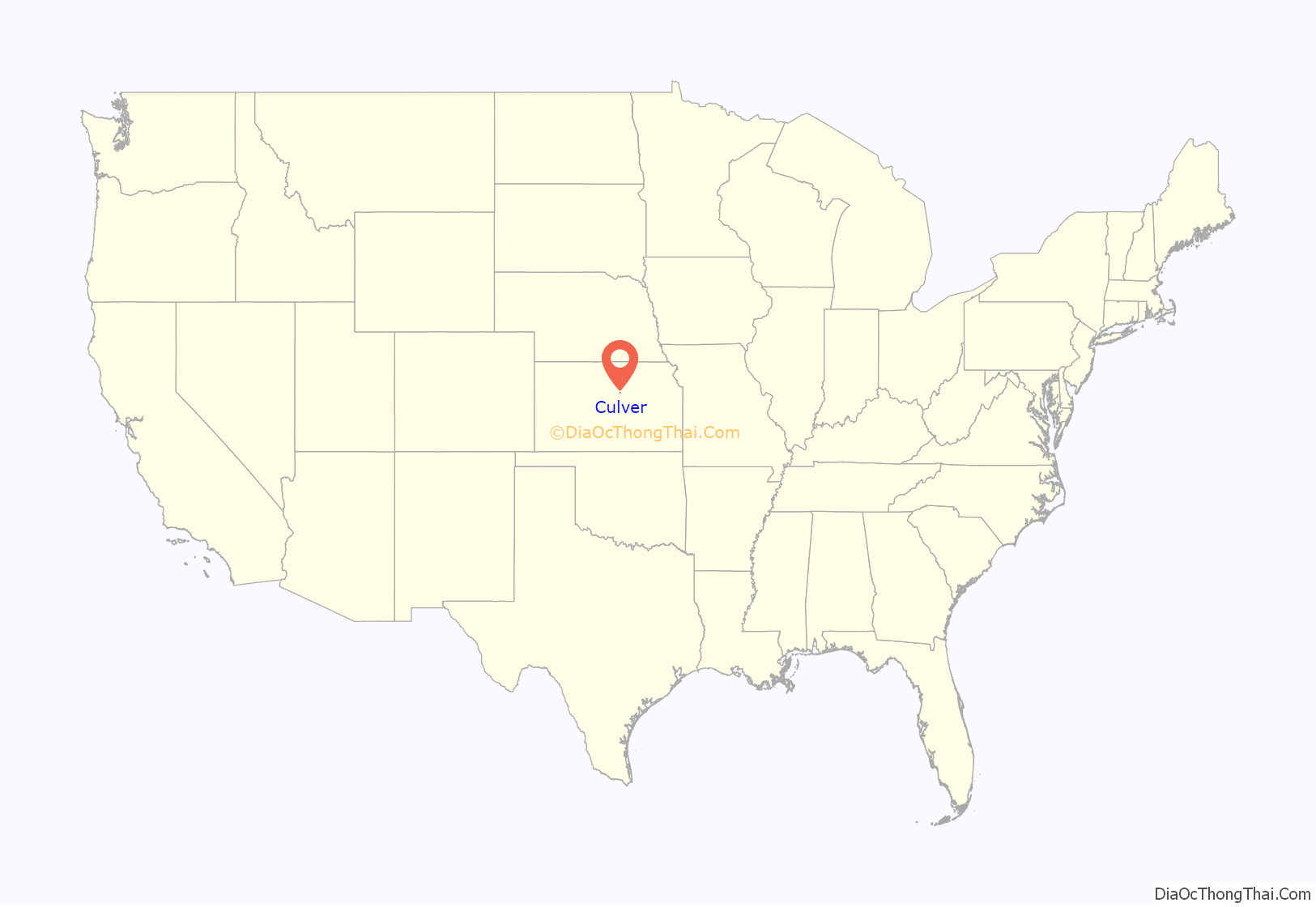
Culver location map. Where is Culver city?
History
Culver was laid out in about 1878. It was named after George Washington Culver who was living in Ottawa County, Kansas in August 1868 when he was recruited to be a scout for Col. George Forsyth, following the first Spillman-Bacon Creek Indian raid. At daybreak on September 17, 1868 Forsyth’s band of 50 civilian scouts was attacked by about 1,000 of Roman Nose’s dog soldier warriors in northeastern Colorado Territory. This was known as Beecher Island. They took cover on a small sandy island in the middle of the Arickaree fork of the Republican river about 17 miles south of present-day Wray, Colorado. The next three days were spent fighting and by the time the fighting ended, the scouts were out of rations and living on horse and mule meat. About half of the scouts were wounded at the outbreak of the fighting. Culver was one of five scouts killed or mortally wounded. Culver was buried at the battleground, later moved to Fort Wallace Cemetery and eventually to Fort Leavenworth National Cemetery. Before Beecher Island, during the Civil war he served as 2nd Lt, Co E, Second Colorado Cavalry. Following the Civil War, he worked for a time as a watchmaker in Junction City, Kansas, and shortly before his death was elected to public office in Ottawa County, Kansas. The town and township of Culver were named in honor of him.
A post office was opened at Culver in 1873 and remained in operation until it was discontinued in 1984.,
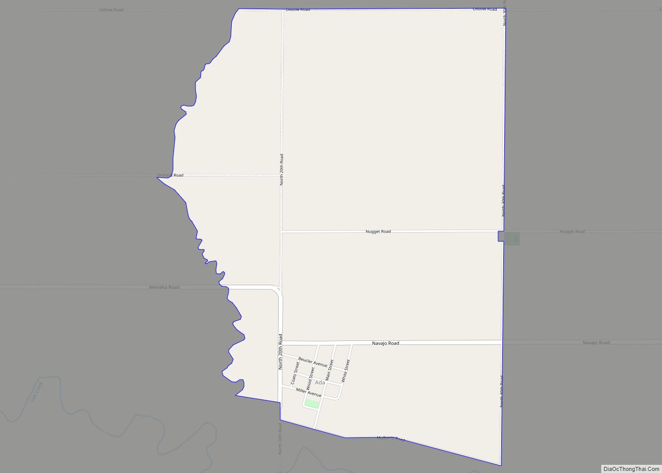
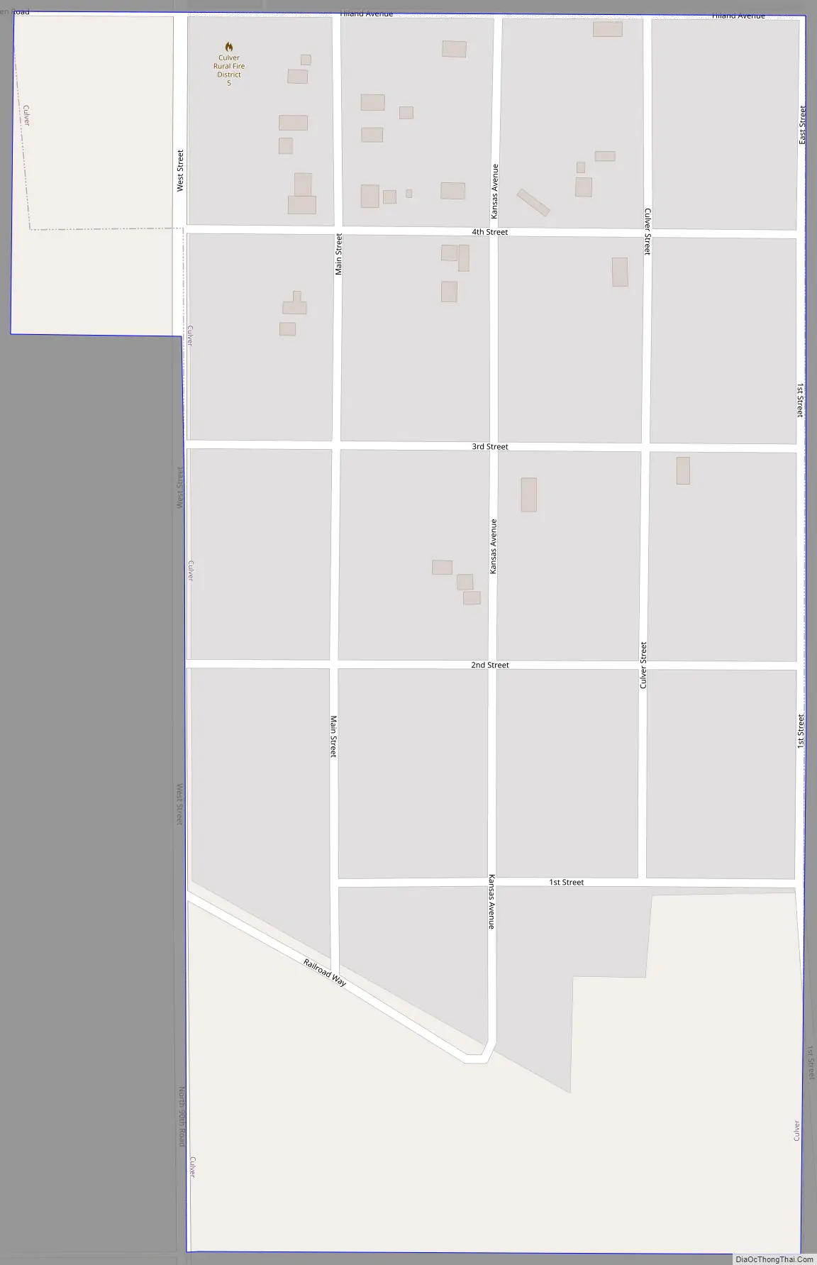
Culver Road Map
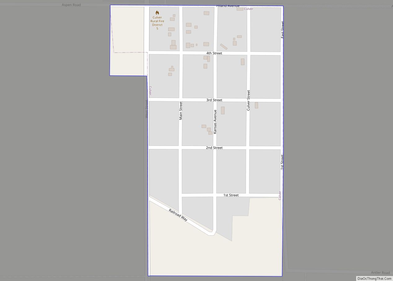
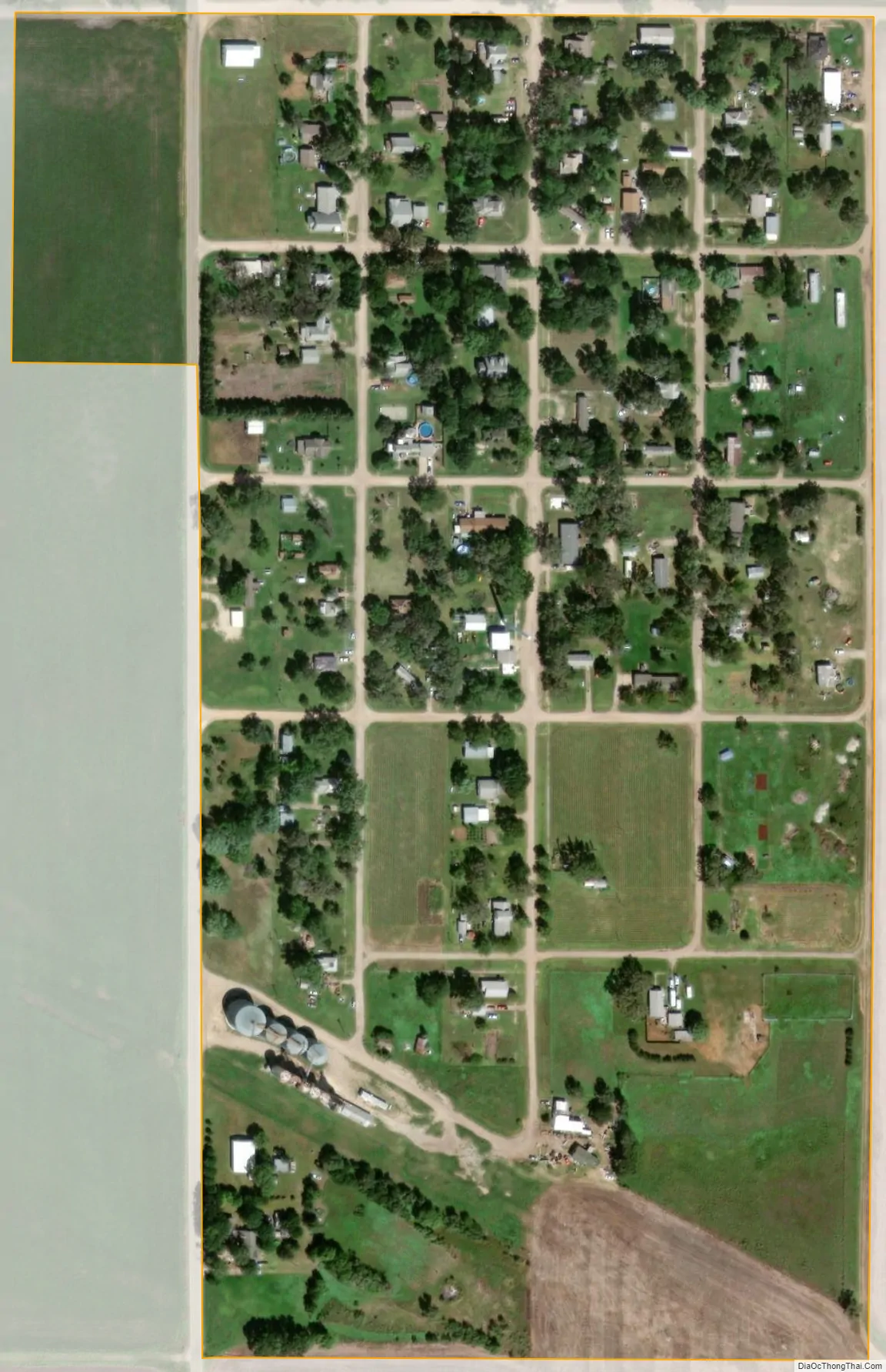
Culver city Satellite Map
Geography
Culver is located at 38°58′10″N 97°45′35″W / 38.96944°N 97.75972°W / 38.96944; -97.75972 (38.969581, -97.759657). According to the United States Census Bureau, the city has a total area of 0.15 square miles (0.39 km), all of it land.
See also
Map of Kansas State and its subdivision:- Allen
- Anderson
- Atchison
- Barber
- Barton
- Bourbon
- Brown
- Butler
- Chase
- Chautauqua
- Cherokee
- Cheyenne
- Clark
- Clay
- Cloud
- Coffey
- Comanche
- Cowley
- Crawford
- Decatur
- Dickinson
- Doniphan
- Douglas
- Edwards
- Elk
- Ellis
- Ellsworth
- Finney
- Ford
- Franklin
- Geary
- Gove
- Graham
- Grant
- Gray
- Greeley
- Greenwood
- Hamilton
- Harper
- Harvey
- Haskell
- Hodgeman
- Jackson
- Jefferson
- Jewell
- Johnson
- Kearny
- Kingman
- Kiowa
- Labette
- Lane
- Leavenworth
- Lincoln
- Linn
- Logan
- Lyon
- Marion
- Marshall
- McPherson
- Meade
- Miami
- Mitchell
- Montgomery
- Morris
- Morton
- Nemaha
- Neosho
- Ness
- Norton
- Osage
- Osborne
- Ottawa
- Pawnee
- Phillips
- Pottawatomie
- Pratt
- Rawlins
- Reno
- Republic
- Rice
- Riley
- Rooks
- Rush
- Russell
- Saline
- Scott
- Sedgwick
- Seward
- Shawnee
- Sheridan
- Sherman
- Smith
- Stafford
- Stanton
- Stevens
- Sumner
- Thomas
- Trego
- Wabaunsee
- Wallace
- Washington
- Wichita
- Wilson
- Woodson
- Wyandotte
- Alabama
- Alaska
- Arizona
- Arkansas
- California
- Colorado
- Connecticut
- Delaware
- District of Columbia
- Florida
- Georgia
- Hawaii
- Idaho
- Illinois
- Indiana
- Iowa
- Kansas
- Kentucky
- Louisiana
- Maine
- Maryland
- Massachusetts
- Michigan
- Minnesota
- Mississippi
- Missouri
- Montana
- Nebraska
- Nevada
- New Hampshire
- New Jersey
- New Mexico
- New York
- North Carolina
- North Dakota
- Ohio
- Oklahoma
- Oregon
- Pennsylvania
- Rhode Island
- South Carolina
- South Dakota
- Tennessee
- Texas
- Utah
- Vermont
- Virginia
- Washington
- West Virginia
- Wisconsin
- Wyoming