Detroit is an unincorporated community in Dickinson County, Kansas, United States. As of the 2020 census, the population of the city was 102.
| Name: | Detroit CDP |
|---|---|
| LSAD Code: | 57 |
| LSAD Description: | CDP (suffix) |
| State: | Kansas |
| County: | Dickinson County |
| Elevation: | 1,139 ft (347 m) |
| Total Area: | 0.34 sq mi (0.89 km²) |
| Land Area: | 0.34 sq mi (0.89 km²) |
| Water Area: | 0.0 sq mi (0.0 km²) |
| Total Population: | 102 |
| Population Density: | 300/sq mi (110/km²) |
| Area code: | 785 |
| FIPS code: | 2017875 |
Online Interactive Map
Click on ![]() to view map in "full screen" mode.
to view map in "full screen" mode.
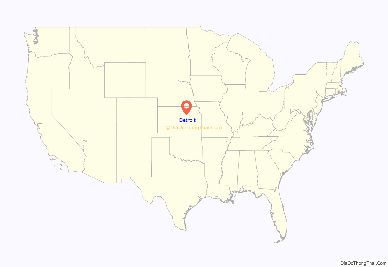
Detroit location map. Where is Detroit CDP?
History
The community was named after Detroit, Michigan. In the early years of the county, Detroit was once strongly considered to be the county seat because Abilene was considered to be “too wild” of a town to serve as a center of government. However, Abilene became the county seat and Detroit ceased to grow from that point forward.
A post office was opened in Detroit in 1866, and remained in operation until it was discontinued in 1961.
Detroit was a station on the Union Pacific Railroad.
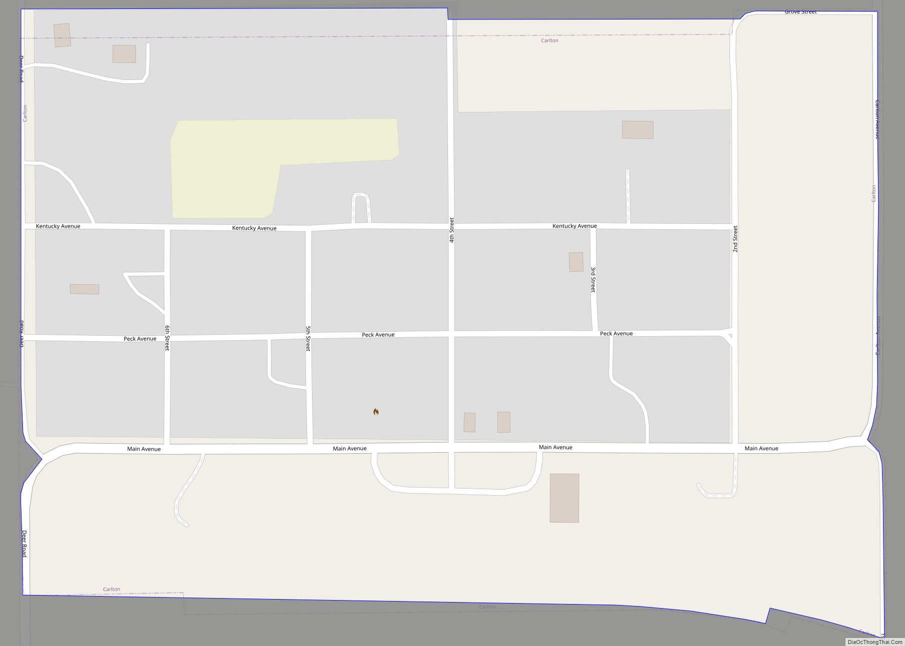
Detroit Road Map
Detroit city Satellite Map
Geography
Detroit is located halfway between Abilene and Chapman, 2 miles (3 km) north of Enterprise. The town is at an elevation of 1,147 feet (350 m) above sea level.
Detroit is a “square” town, two blocks long and two blocks wide. The three north-south streets are Main, Middle, and School. The three east-west streets are First, Second, and Third. There are no more streets in Detroit. All six streets are unpaved.
See also
Map of Kansas State and its subdivision:- Allen
- Anderson
- Atchison
- Barber
- Barton
- Bourbon
- Brown
- Butler
- Chase
- Chautauqua
- Cherokee
- Cheyenne
- Clark
- Clay
- Cloud
- Coffey
- Comanche
- Cowley
- Crawford
- Decatur
- Dickinson
- Doniphan
- Douglas
- Edwards
- Elk
- Ellis
- Ellsworth
- Finney
- Ford
- Franklin
- Geary
- Gove
- Graham
- Grant
- Gray
- Greeley
- Greenwood
- Hamilton
- Harper
- Harvey
- Haskell
- Hodgeman
- Jackson
- Jefferson
- Jewell
- Johnson
- Kearny
- Kingman
- Kiowa
- Labette
- Lane
- Leavenworth
- Lincoln
- Linn
- Logan
- Lyon
- Marion
- Marshall
- McPherson
- Meade
- Miami
- Mitchell
- Montgomery
- Morris
- Morton
- Nemaha
- Neosho
- Ness
- Norton
- Osage
- Osborne
- Ottawa
- Pawnee
- Phillips
- Pottawatomie
- Pratt
- Rawlins
- Reno
- Republic
- Rice
- Riley
- Rooks
- Rush
- Russell
- Saline
- Scott
- Sedgwick
- Seward
- Shawnee
- Sheridan
- Sherman
- Smith
- Stafford
- Stanton
- Stevens
- Sumner
- Thomas
- Trego
- Wabaunsee
- Wallace
- Washington
- Wichita
- Wilson
- Woodson
- Wyandotte
- Alabama
- Alaska
- Arizona
- Arkansas
- California
- Colorado
- Connecticut
- Delaware
- District of Columbia
- Florida
- Georgia
- Hawaii
- Idaho
- Illinois
- Indiana
- Iowa
- Kansas
- Kentucky
- Louisiana
- Maine
- Maryland
- Massachusetts
- Michigan
- Minnesota
- Mississippi
- Missouri
- Montana
- Nebraska
- Nevada
- New Hampshire
- New Jersey
- New Mexico
- New York
- North Carolina
- North Dakota
- Ohio
- Oklahoma
- Oregon
- Pennsylvania
- Rhode Island
- South Carolina
- South Dakota
- Tennessee
- Texas
- Utah
- Vermont
- Virginia
- Washington
- West Virginia
- Wisconsin
- Wyoming
