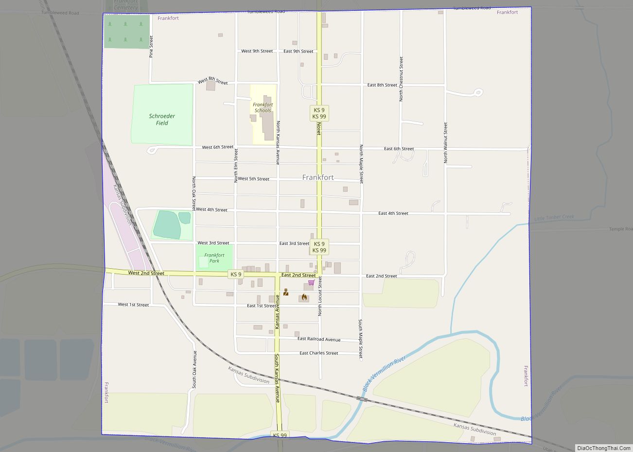
Frankfort is a city in Marshall County, Kansas, United States. As of the 2020 census, the population of the city was 730.
| Name: | Frankfort city |
|---|---|
| LSAD Code: | 25 |
| LSAD Description: | city (suffix) |
| State: | Kansas |
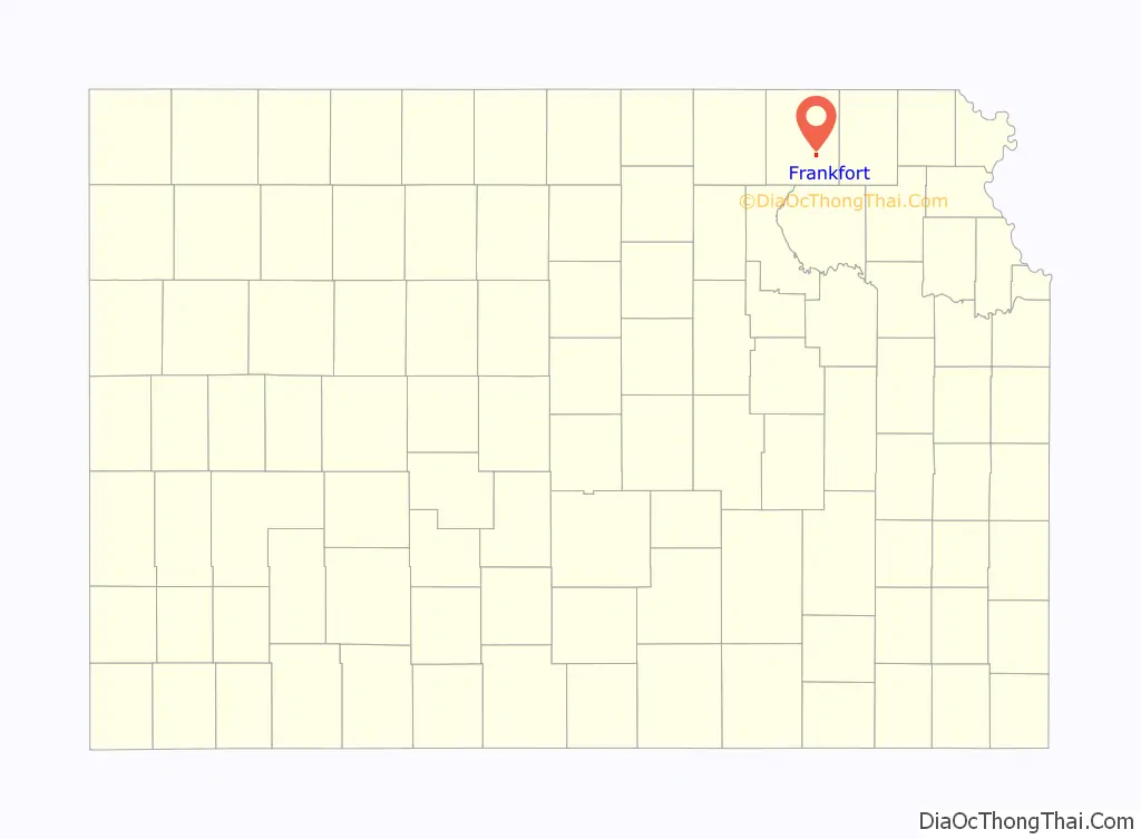
| County: | Marshall County |
| Incorporated: | 1875 |
| Elevation: | 1,158 ft (353 m) |
| Total Area: | 1.01 sq mi (2.62 km²) |
| Land Area: | 1.01 sq mi (2.61 km²) |
| Water Area: | 0.01 sq mi (0.01 km²) |
| Total Population: | 730 |
| Population Density: | 720/sq mi (280/km²) |
| ZIP code: | 66427 |
| Area code: | 785 |
| FIPS code: | 2024275 |
| Website: | cityoffrankfort.org |
Online Interactive Map
Click on ![]() to view map in "full screen" mode.
to view map in "full screen" mode.
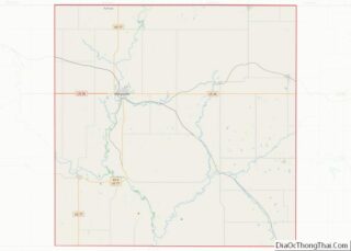
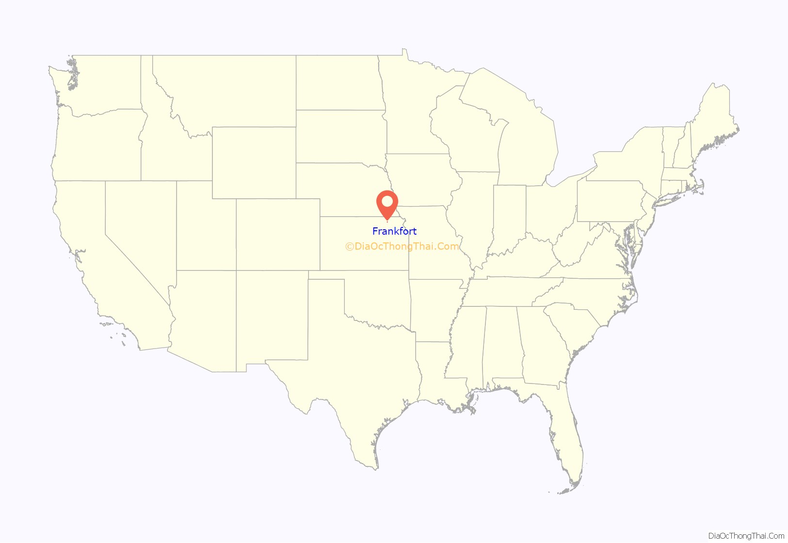
Frankfort location map. Where is Frankfort city?
History
Frankfort was laid out in 1867 when the Central Branch Union Pacific Railroad was built through the area. The nearby post office of Nottingham, established in 1857, moved roughly a half-mile northwest to meet the railroad. It was named for Frank Schmidt, a member of the town company. Frankfort was incorporated as a city of the third class in 1875.
The town lost 32 men during World War II, more per capita than any other community in the USA.
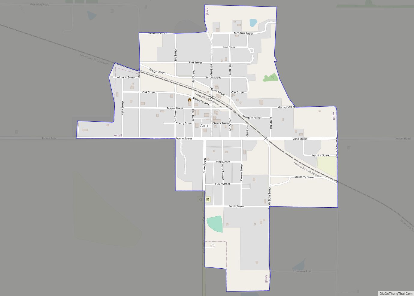
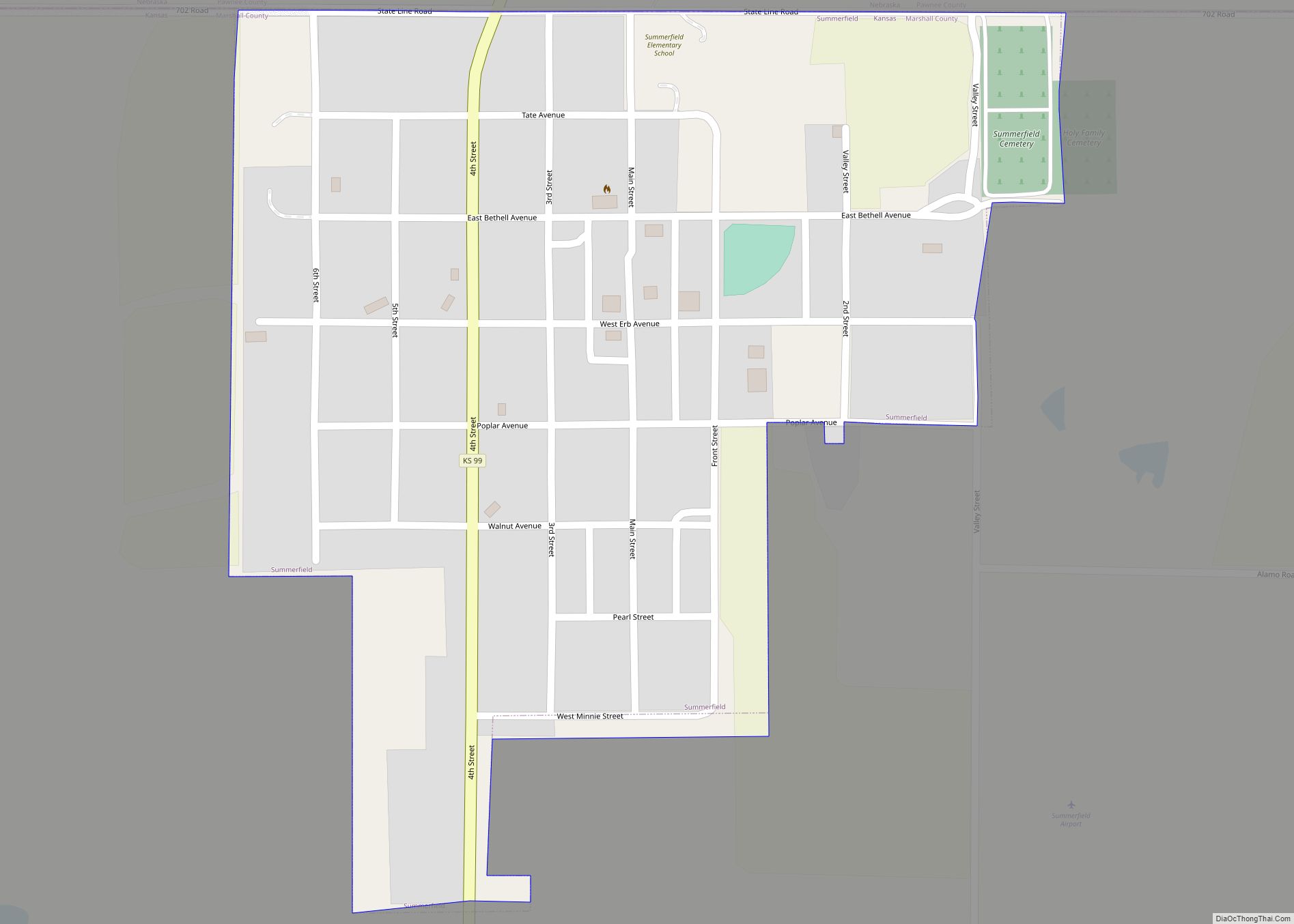
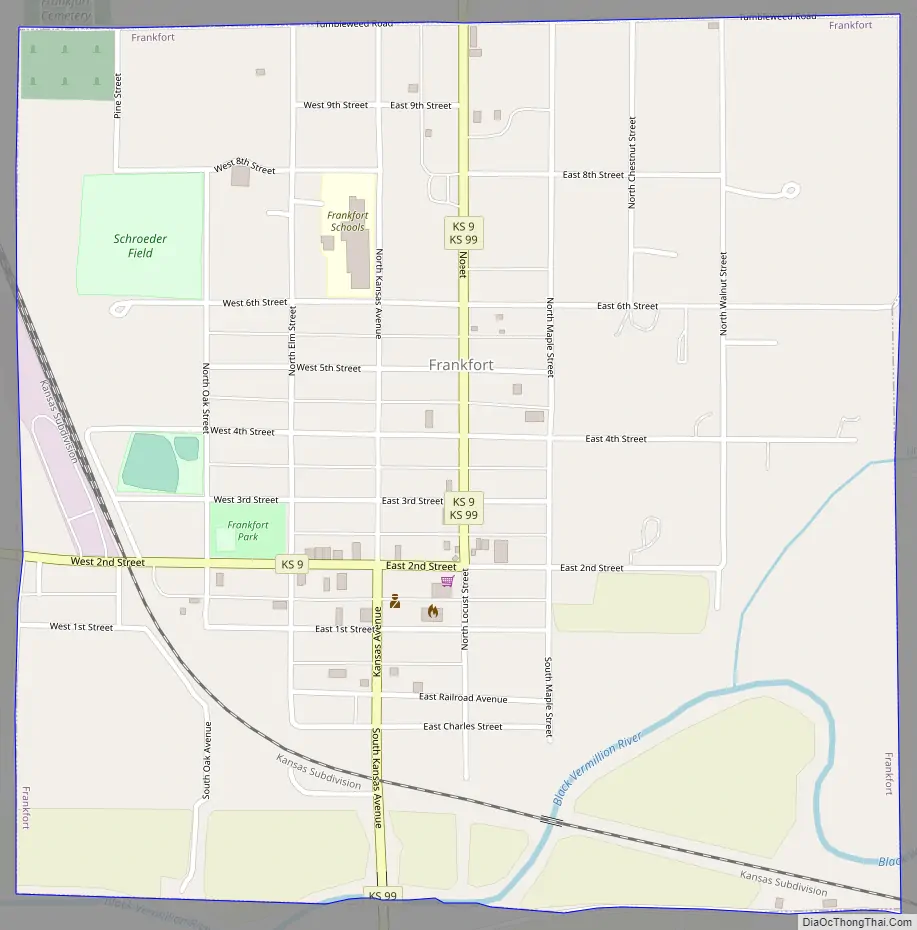
Frankfort Road Map
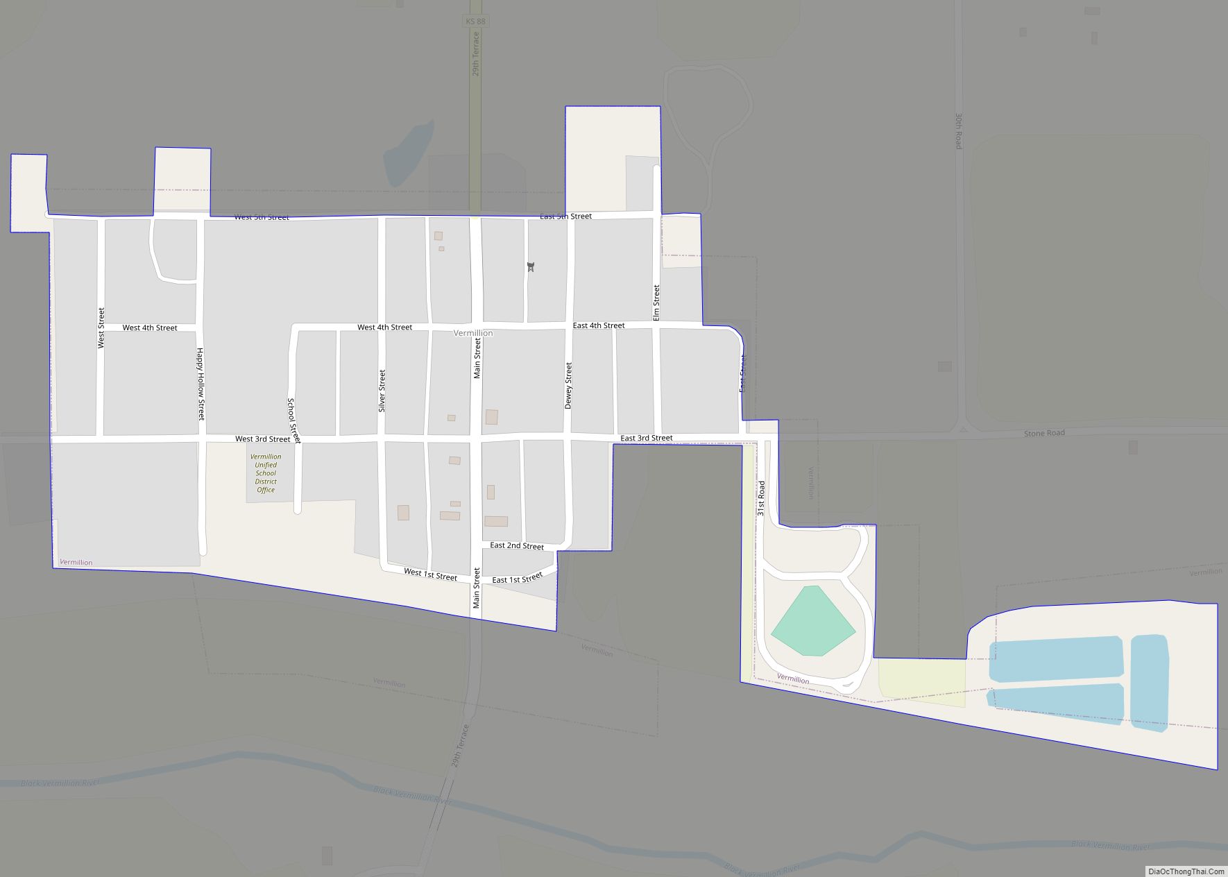
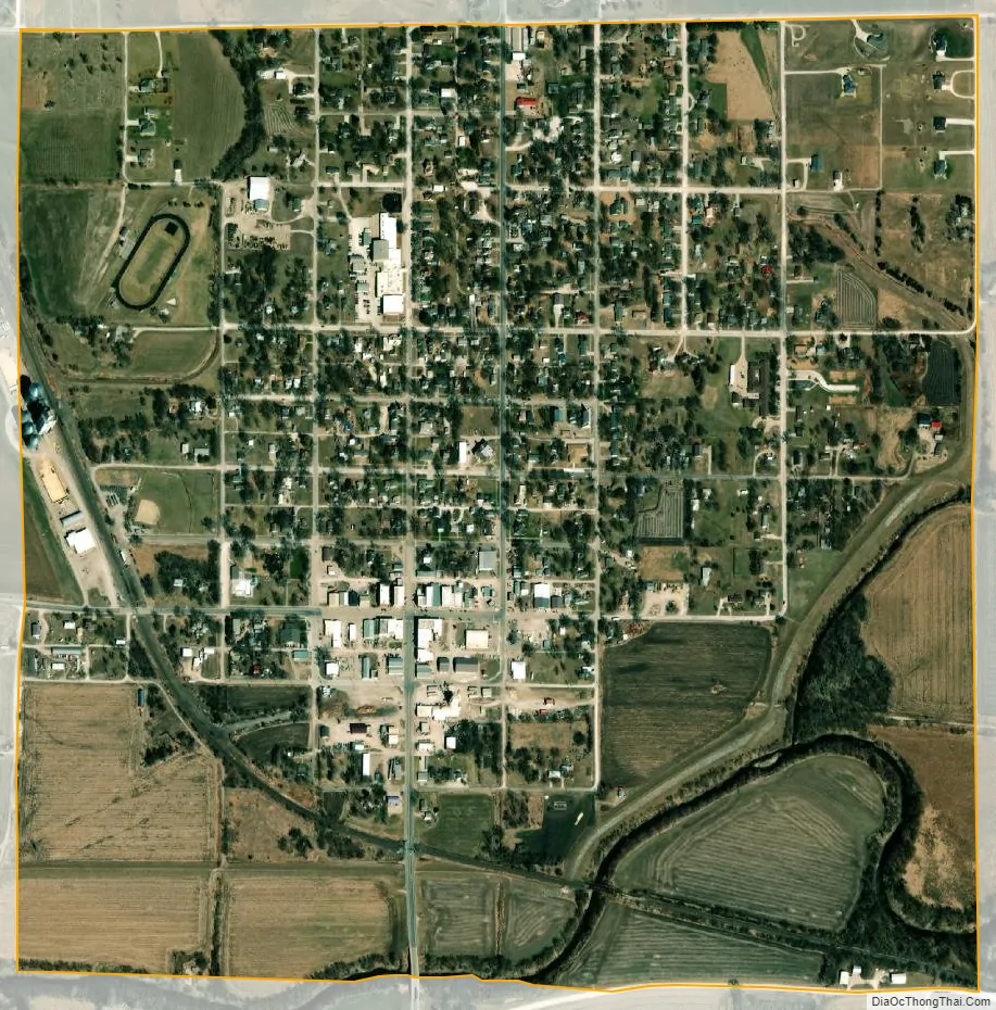
Frankfort city Satellite Map
Geography
Frankfort is located at 39°42′14″N 96°25′5″W / 39.70389°N 96.41806°W / 39.70389; -96.41806 (39.703810, -96.417925). According to the United States Census Bureau, the city has a total area of 1.02 square miles (2.64 km), of which, 1.01 square miles (2.62 km) is land and 0.01 square miles (0.03 km) is water.
See also
Map of Kansas State and its subdivision:- Allen
- Anderson
- Atchison
- Barber
- Barton
- Bourbon
- Brown
- Butler
- Chase
- Chautauqua
- Cherokee
- Cheyenne
- Clark
- Clay
- Cloud
- Coffey
- Comanche
- Cowley
- Crawford
- Decatur
- Dickinson
- Doniphan
- Douglas
- Edwards
- Elk
- Ellis
- Ellsworth
- Finney
- Ford
- Franklin
- Geary
- Gove
- Graham
- Grant
- Gray
- Greeley
- Greenwood
- Hamilton
- Harper
- Harvey
- Haskell
- Hodgeman
- Jackson
- Jefferson
- Jewell
- Johnson
- Kearny
- Kingman
- Kiowa
- Labette
- Lane
- Leavenworth
- Lincoln
- Linn
- Logan
- Lyon
- Marion
- Marshall
- McPherson
- Meade
- Miami
- Mitchell
- Montgomery
- Morris
- Morton
- Nemaha
- Neosho
- Ness
- Norton
- Osage
- Osborne
- Ottawa
- Pawnee
- Phillips
- Pottawatomie
- Pratt
- Rawlins
- Reno
- Republic
- Rice
- Riley
- Rooks
- Rush
- Russell
- Saline
- Scott
- Sedgwick
- Seward
- Shawnee
- Sheridan
- Sherman
- Smith
- Stafford
- Stanton
- Stevens
- Sumner
- Thomas
- Trego
- Wabaunsee
- Wallace
- Washington
- Wichita
- Wilson
- Woodson
- Wyandotte
- Alabama
- Alaska
- Arizona
- Arkansas
- California
- Colorado
- Connecticut
- Delaware
- District of Columbia
- Florida
- Georgia
- Hawaii
- Idaho
- Illinois
- Indiana
- Iowa
- Kansas
- Kentucky
- Louisiana
- Maine
- Maryland
- Massachusetts
- Michigan
- Minnesota
- Mississippi
- Missouri
- Montana
- Nebraska
- Nevada
- New Hampshire
- New Jersey
- New Mexico
- New York
- North Carolina
- North Dakota
- Ohio
- Oklahoma
- Oregon
- Pennsylvania
- Rhode Island
- South Carolina
- South Dakota
- Tennessee
- Texas
- Utah
- Vermont
- Virginia
- Washington
- West Virginia
- Wisconsin
- Wyoming