Goff is a city in Nemaha County, Kansas, United States. As of the 2020 census, the population of the city was 106.
| Name: | Goff city |
|---|---|
| LSAD Code: | 25 |
| LSAD Description: | city (suffix) |
| State: | Kansas |
| County: | Nemaha County |
| Founded: | 1880 |
| Incorporated: | 1887 |
| Elevation: | 1,221 ft (372 m) |
| Total Area: | 0.21 sq mi (0.53 km²) |
| Land Area: | 0.21 sq mi (0.53 km²) |
| Water Area: | 0.00 sq mi (0.00 km²) |
| Total Population: | 106 |
| Population Density: | 500/sq mi (200/km²) |
| ZIP code: | 66428 |
| Area code: | 785 |
| FIPS code: | 2026775 |
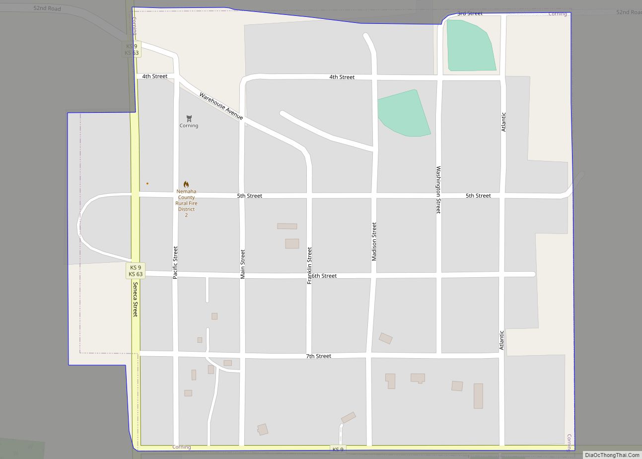
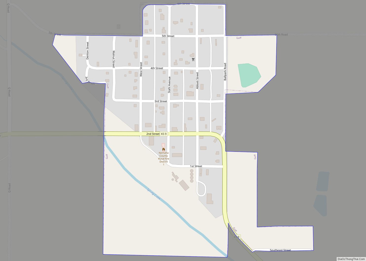
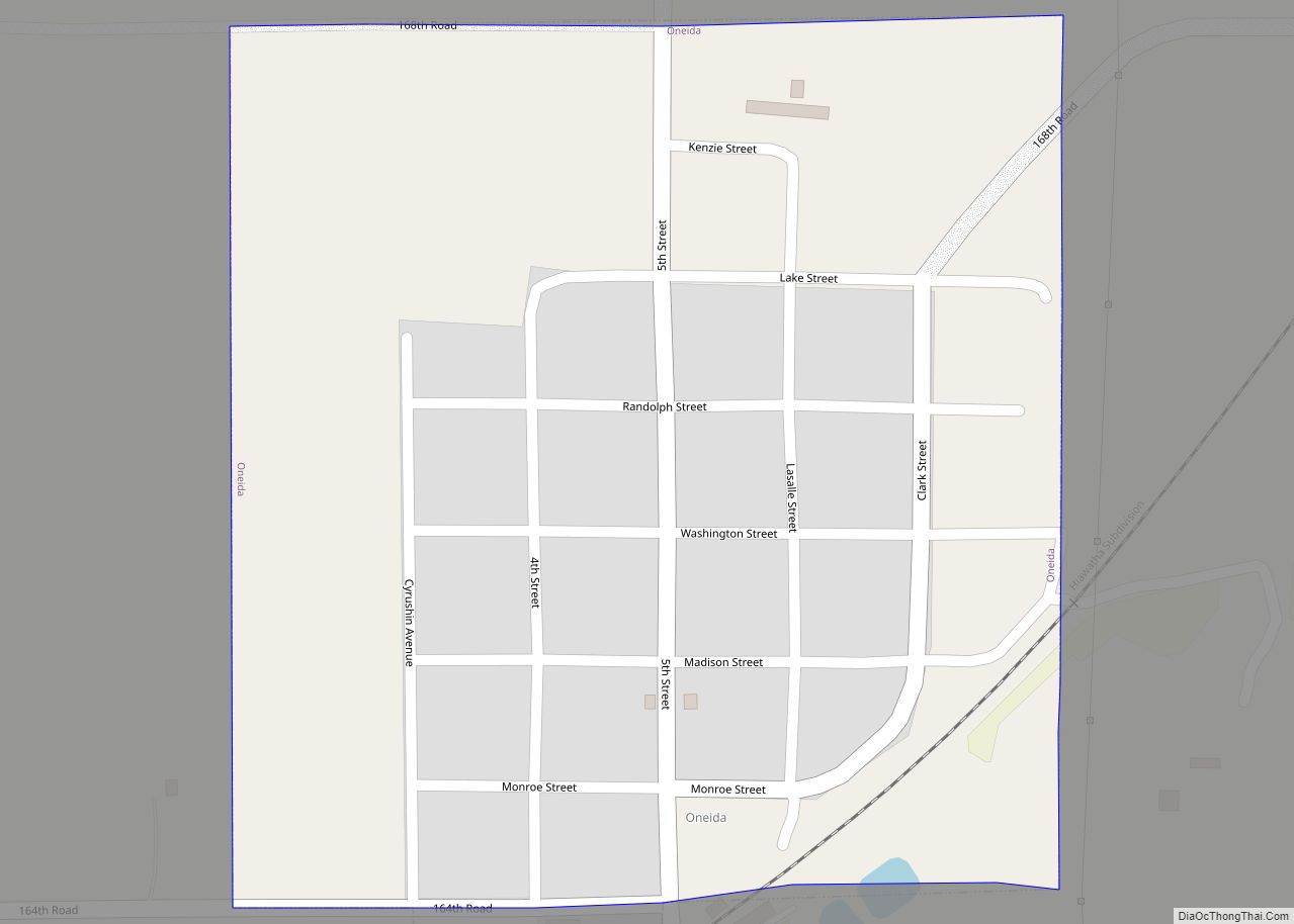
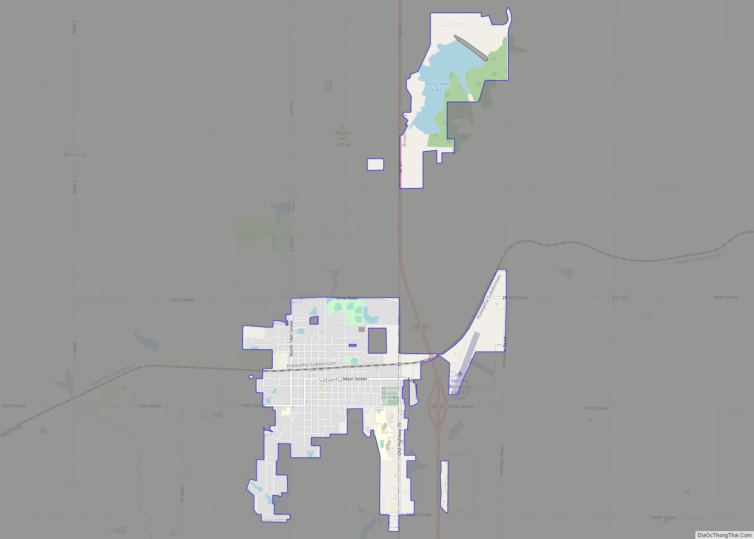
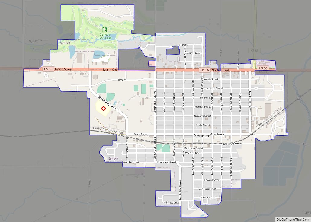
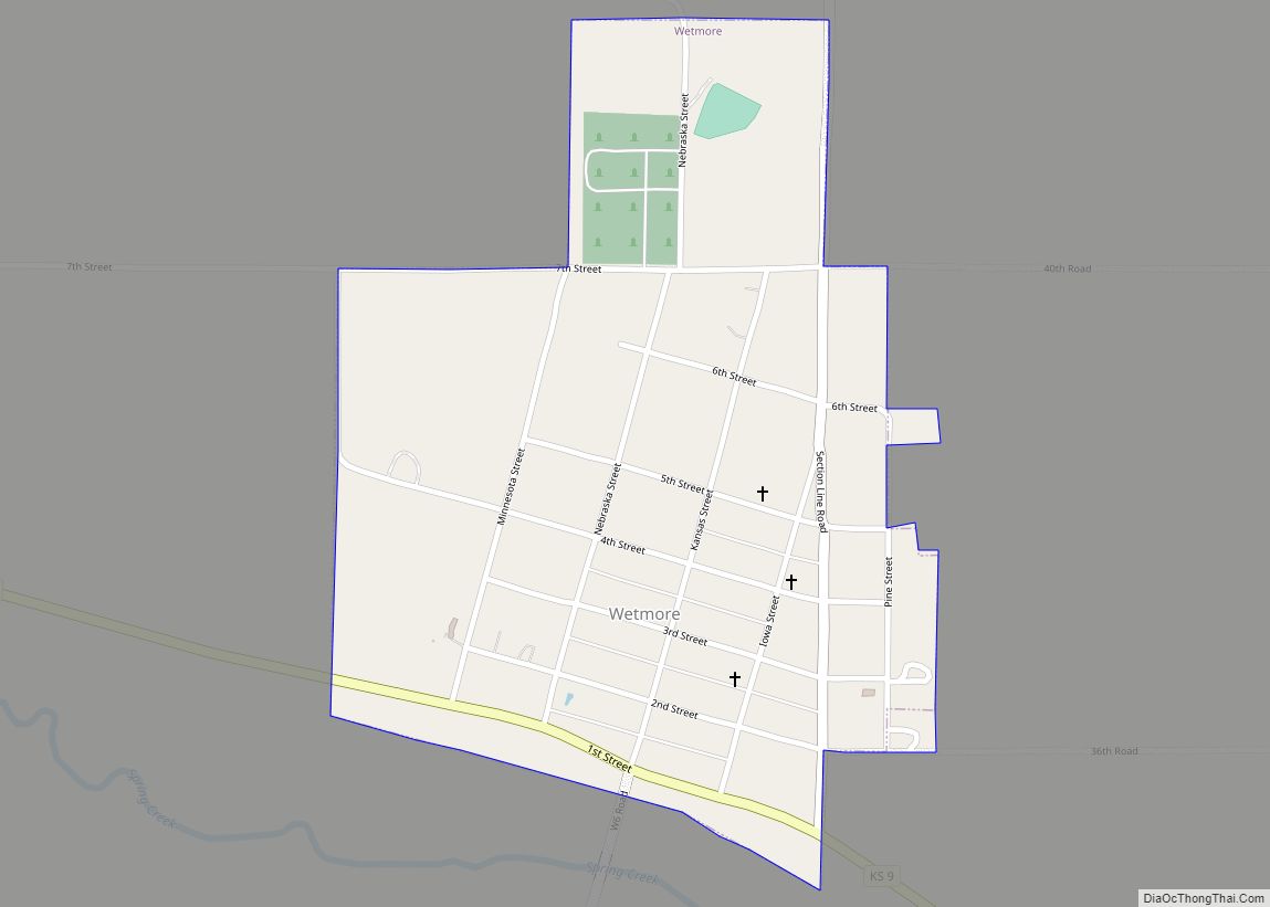
Online Interactive Map
Click on ![]() to view map in "full screen" mode.
to view map in "full screen" mode.
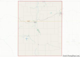
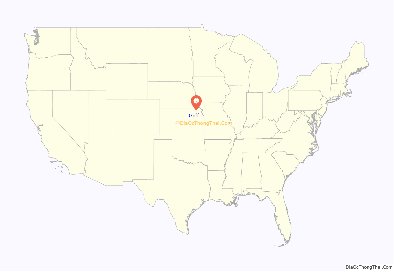
Goff location map. Where is Goff city?
History
Goff had its start in the year 1880 by the building of the railroad through that territory. It was named for Edward H. Goff, an official of the Central Branch Union Pacific Railroad.
The name of the post office was officially spelled Goff’s from 1880 until 1894.
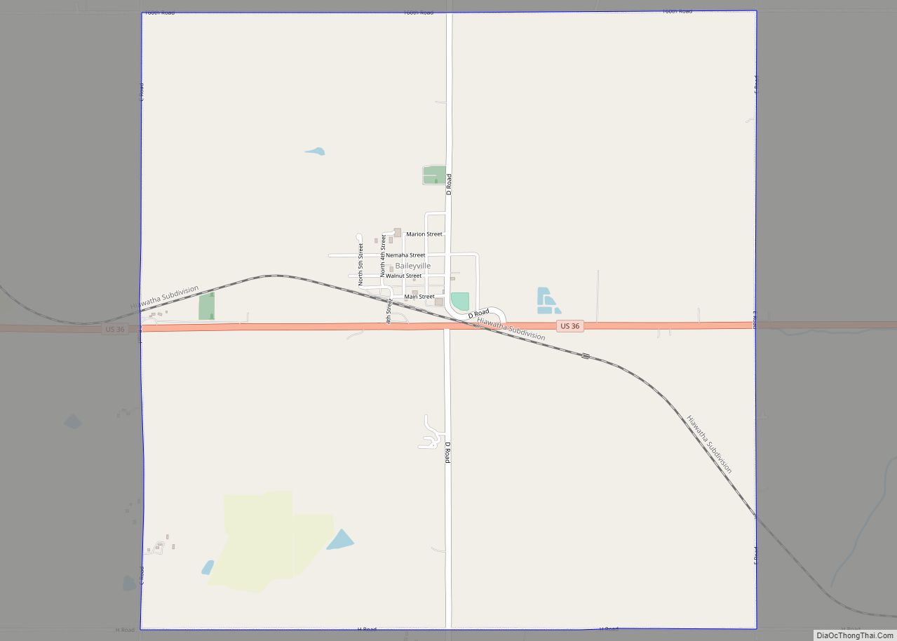
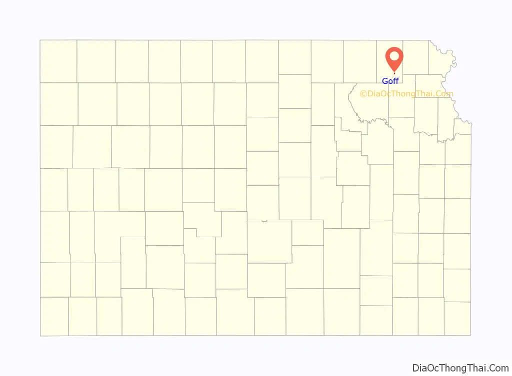
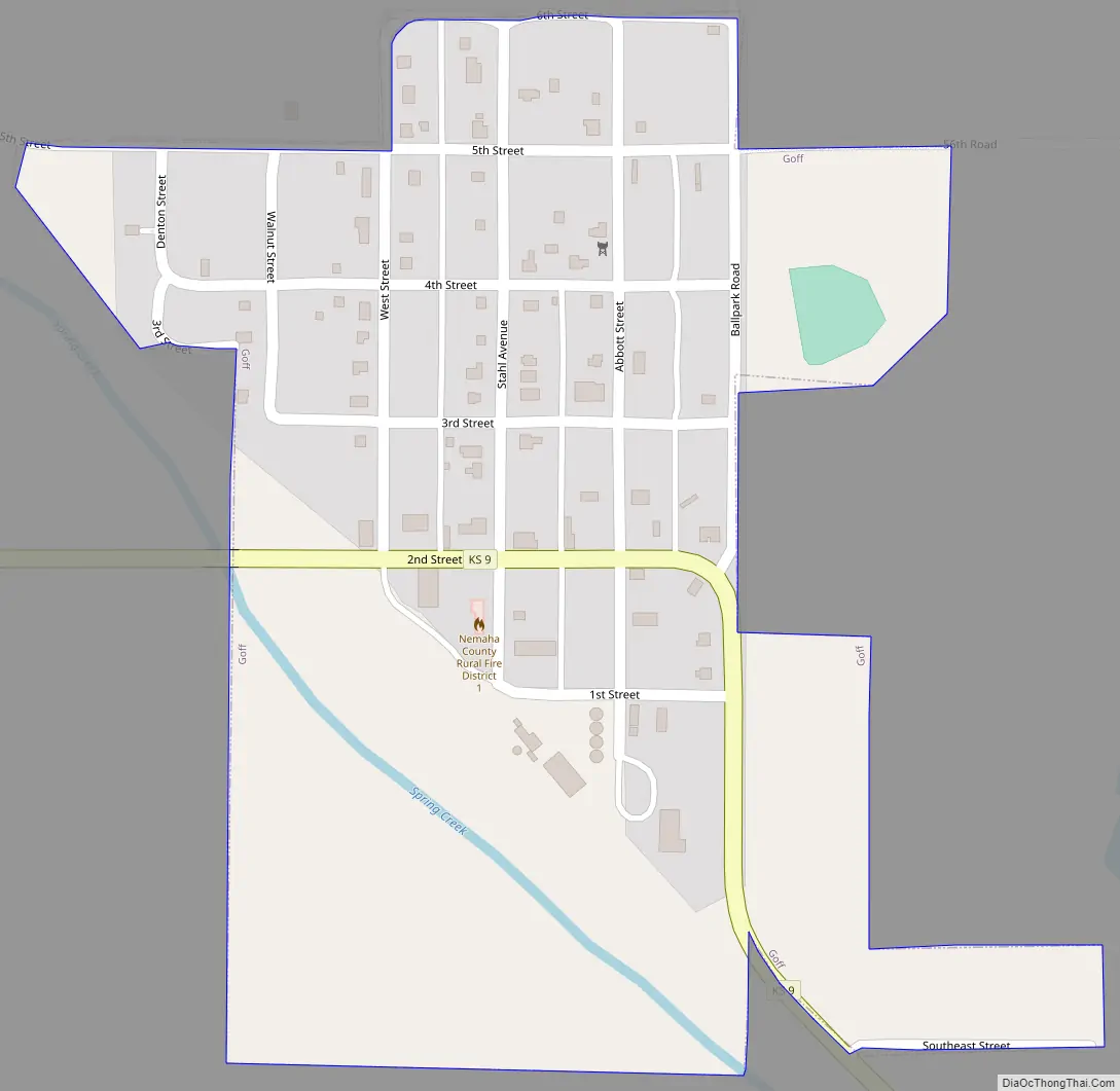
Goff Road Map
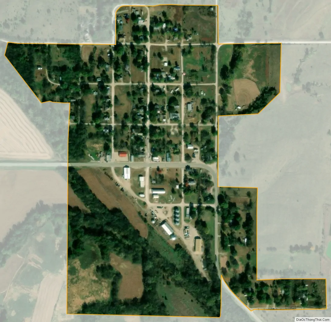
Goff city Satellite Map
Geography
Goff is located at 39°39′57″N 95°55′54″W / 39.66583°N 95.93167°W / 39.66583; -95.93167 (39.665867, -95.931546). According to the United States Census Bureau, the city has a total area of 0.21 square miles (0.54 km), all of it land.
See also
Map of Kansas State and its subdivision:- Allen
- Anderson
- Atchison
- Barber
- Barton
- Bourbon
- Brown
- Butler
- Chase
- Chautauqua
- Cherokee
- Cheyenne
- Clark
- Clay
- Cloud
- Coffey
- Comanche
- Cowley
- Crawford
- Decatur
- Dickinson
- Doniphan
- Douglas
- Edwards
- Elk
- Ellis
- Ellsworth
- Finney
- Ford
- Franklin
- Geary
- Gove
- Graham
- Grant
- Gray
- Greeley
- Greenwood
- Hamilton
- Harper
- Harvey
- Haskell
- Hodgeman
- Jackson
- Jefferson
- Jewell
- Johnson
- Kearny
- Kingman
- Kiowa
- Labette
- Lane
- Leavenworth
- Lincoln
- Linn
- Logan
- Lyon
- Marion
- Marshall
- McPherson
- Meade
- Miami
- Mitchell
- Montgomery
- Morris
- Morton
- Nemaha
- Neosho
- Ness
- Norton
- Osage
- Osborne
- Ottawa
- Pawnee
- Phillips
- Pottawatomie
- Pratt
- Rawlins
- Reno
- Republic
- Rice
- Riley
- Rooks
- Rush
- Russell
- Saline
- Scott
- Sedgwick
- Seward
- Shawnee
- Sheridan
- Sherman
- Smith
- Stafford
- Stanton
- Stevens
- Sumner
- Thomas
- Trego
- Wabaunsee
- Wallace
- Washington
- Wichita
- Wilson
- Woodson
- Wyandotte
- Alabama
- Alaska
- Arizona
- Arkansas
- California
- Colorado
- Connecticut
- Delaware
- District of Columbia
- Florida
- Georgia
- Hawaii
- Idaho
- Illinois
- Indiana
- Iowa
- Kansas
- Kentucky
- Louisiana
- Maine
- Maryland
- Massachusetts
- Michigan
- Minnesota
- Mississippi
- Missouri
- Montana
- Nebraska
- Nevada
- New Hampshire
- New Jersey
- New Mexico
- New York
- North Carolina
- North Dakota
- Ohio
- Oklahoma
- Oregon
- Pennsylvania
- Rhode Island
- South Carolina
- South Dakota
- Tennessee
- Texas
- Utah
- Vermont
- Virginia
- Washington
- West Virginia
- Wisconsin
- Wyoming