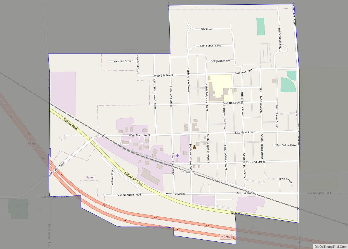
Haven is a city in Reno County, Kansas, United States. As of the 2020 census, the population of the city was 1,170.
| Name: | Haven city |
|---|---|
| LSAD Code: | 25 |
| LSAD Description: | city (suffix) |
| State: | Kansas |
| County: | Reno County |
| Founded: | 1880s |
| Incorporated: | 1901 |
| Elevation: | 1,480 ft (450 m) |
| Total Area: | 0.78 sq mi (2.01 km²) |
| Land Area: | 0.78 sq mi (2.01 km²) |
| Water Area: | 0.00 sq mi (0.00 km²) |
| Total Population: | 1,170 |
| Population Density: | 1,500/sq mi (580/km²) |
| ZIP code: | 67543 |
| Area code: | 620 |
| FIPS code: | 2030725 |
| Website: | havencityhall.org |
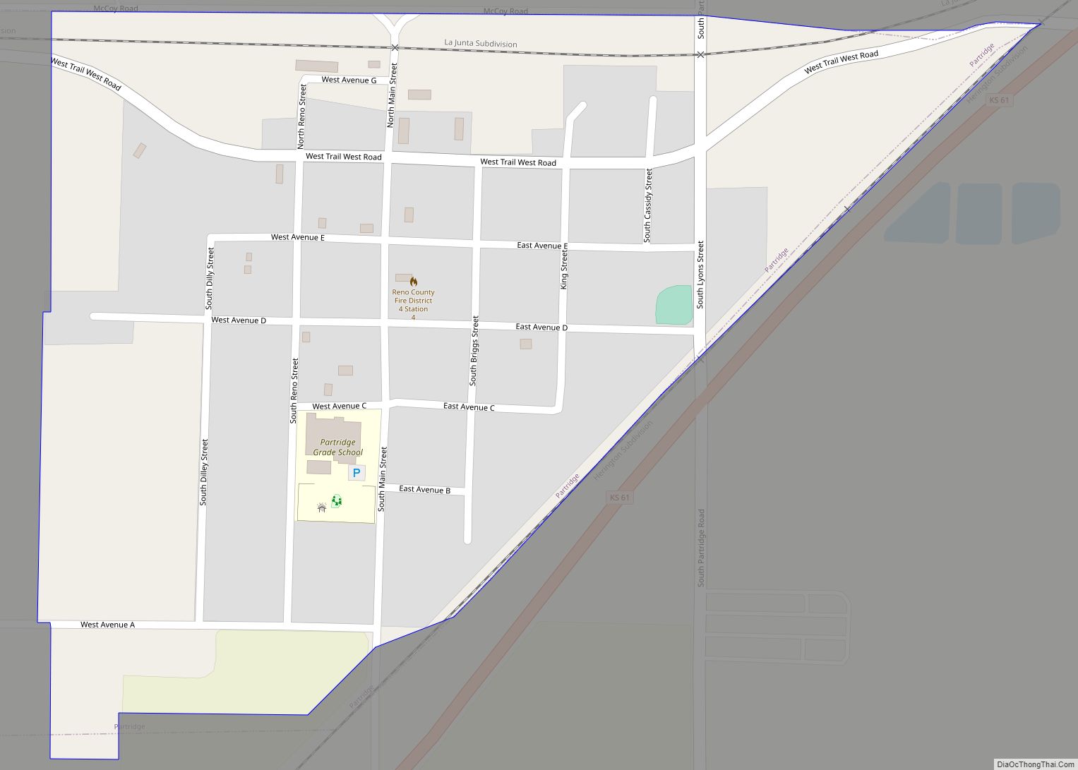
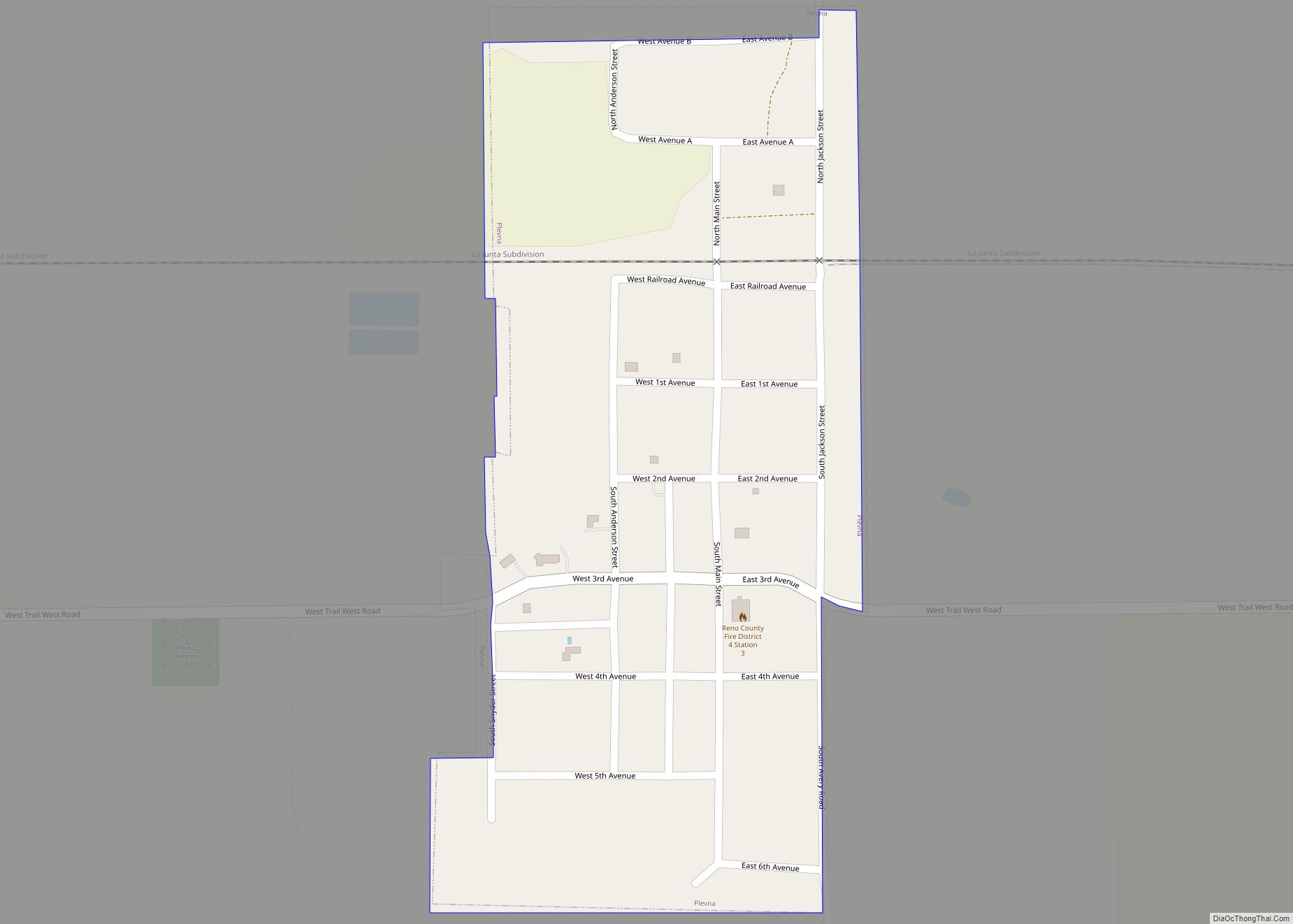
Online Interactive Map
Click on ![]() to view map in "full screen" mode.
to view map in "full screen" mode.
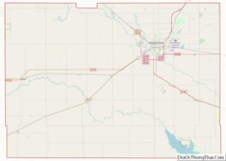
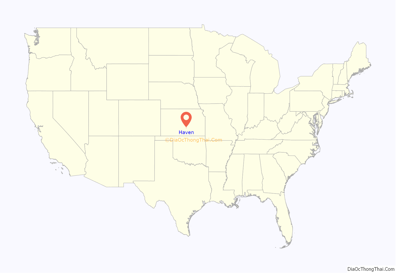
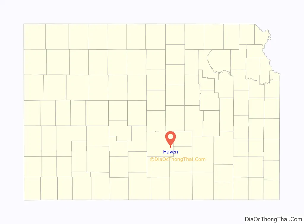
Haven location map. Where is Haven city?
History
Haven was laid out in 1886, and incorporated as a city in 1901. The first post office in Haven was established in 1873.
The local high school football team was on the winning side of a lopsided football game against another school from across the county in Sylvia. Played in 1927 with a final score of 256–0, the game produced multiple national and state high school records. As of 2016, the state records include: Total points scored, points by both teams, widest margin, widest shutout, most touchdowns (38), and most rushing touchdowns (30). Also, Haven student Elvin McCoy holds state records for both individual points per game with 90 and individual touchdowns scored per game with 13. The introduction of the mercy rule means that many of these records will likely never be broken.
In 2022, the mayor and council unanimously voted to remove “In God We Trust” decals from the city’s police vehicles
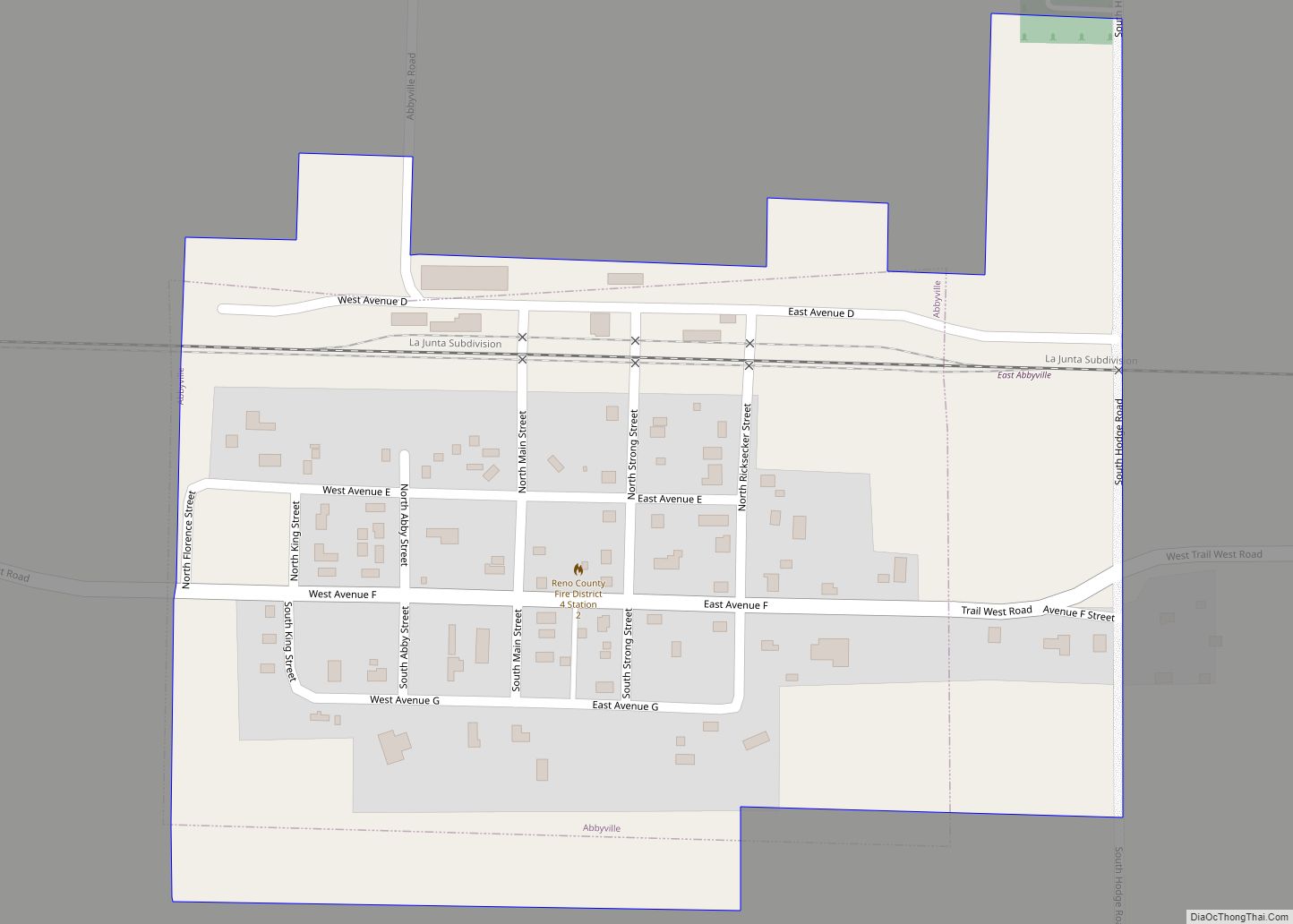
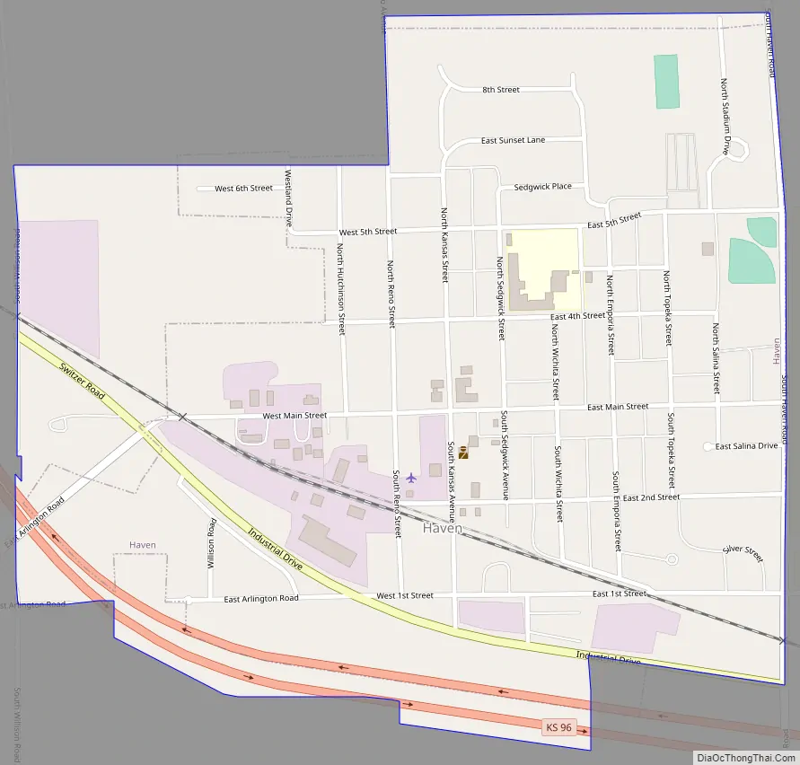
Haven Road Map
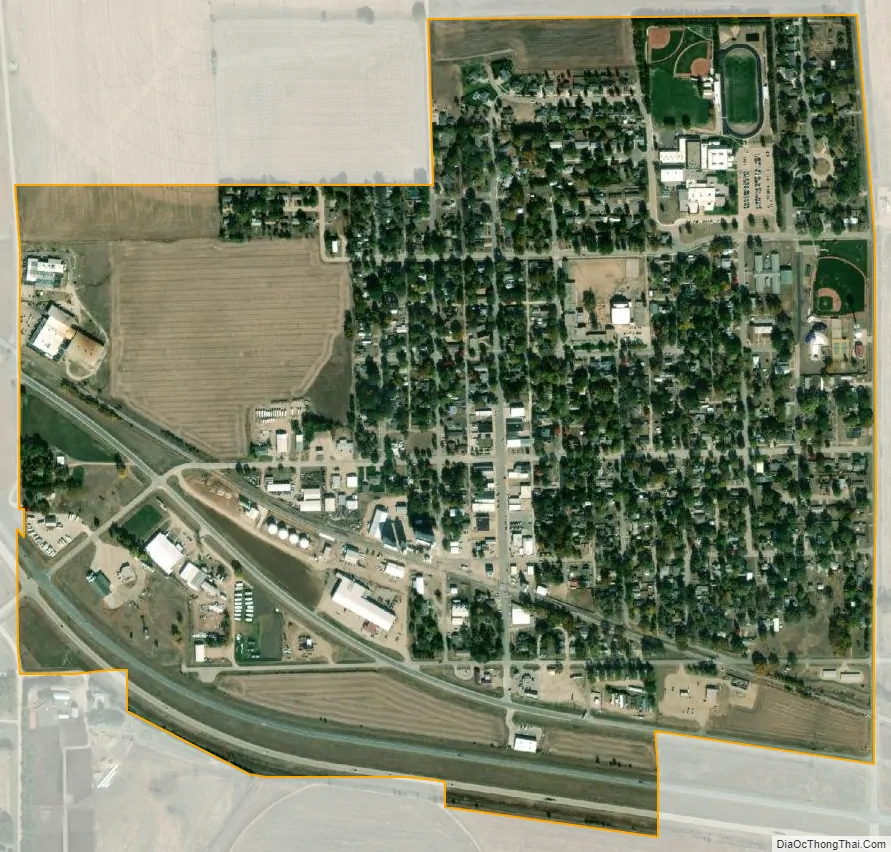
Haven city Satellite Map
Geography
Haven is located at 37°54′8″N 97°46′51″W / 37.90222°N 97.78083°W / 37.90222; -97.78083 (37.902306, -97.780957). According to the United States Census Bureau, the city has a total area of 0.63 square miles (1.63 km), all of it land.
See also
Map of Kansas State and its subdivision:- Allen
- Anderson
- Atchison
- Barber
- Barton
- Bourbon
- Brown
- Butler
- Chase
- Chautauqua
- Cherokee
- Cheyenne
- Clark
- Clay
- Cloud
- Coffey
- Comanche
- Cowley
- Crawford
- Decatur
- Dickinson
- Doniphan
- Douglas
- Edwards
- Elk
- Ellis
- Ellsworth
- Finney
- Ford
- Franklin
- Geary
- Gove
- Graham
- Grant
- Gray
- Greeley
- Greenwood
- Hamilton
- Harper
- Harvey
- Haskell
- Hodgeman
- Jackson
- Jefferson
- Jewell
- Johnson
- Kearny
- Kingman
- Kiowa
- Labette
- Lane
- Leavenworth
- Lincoln
- Linn
- Logan
- Lyon
- Marion
- Marshall
- McPherson
- Meade
- Miami
- Mitchell
- Montgomery
- Morris
- Morton
- Nemaha
- Neosho
- Ness
- Norton
- Osage
- Osborne
- Ottawa
- Pawnee
- Phillips
- Pottawatomie
- Pratt
- Rawlins
- Reno
- Republic
- Rice
- Riley
- Rooks
- Rush
- Russell
- Saline
- Scott
- Sedgwick
- Seward
- Shawnee
- Sheridan
- Sherman
- Smith
- Stafford
- Stanton
- Stevens
- Sumner
- Thomas
- Trego
- Wabaunsee
- Wallace
- Washington
- Wichita
- Wilson
- Woodson
- Wyandotte
- Alabama
- Alaska
- Arizona
- Arkansas
- California
- Colorado
- Connecticut
- Delaware
- District of Columbia
- Florida
- Georgia
- Hawaii
- Idaho
- Illinois
- Indiana
- Iowa
- Kansas
- Kentucky
- Louisiana
- Maine
- Maryland
- Massachusetts
- Michigan
- Minnesota
- Mississippi
- Missouri
- Montana
- Nebraska
- Nevada
- New Hampshire
- New Jersey
- New Mexico
- New York
- North Carolina
- North Dakota
- Ohio
- Oklahoma
- Oregon
- Pennsylvania
- Rhode Island
- South Carolina
- South Dakota
- Tennessee
- Texas
- Utah
- Vermont
- Virginia
- Washington
- West Virginia
- Wisconsin
- Wyoming