Healy is an unincorporated community in Lane County, Kansas, United States. As of the 2020 census, the population of the community and nearby areas was 195.
| Name: | Healy CDP |
|---|---|
| LSAD Code: | 57 |
| LSAD Description: | CDP (suffix) |
| State: | Kansas |
| County: | Lane County |
| Founded: | 1880s |
| Elevation: | 2,858 ft (871 m) |
| Total Area: | 3.46 sq mi (8.96 km²) |
| Land Area: | 3.46 sq mi (8.96 km²) |
| Water Area: | 0.0 sq mi (0.0 km²) |
| Total Population: | 195 |
| Population Density: | 56/sq mi (22/km²) |
| ZIP code: | 67850 |
| Area code: | 620 |
| FIPS code: | 2031200 |
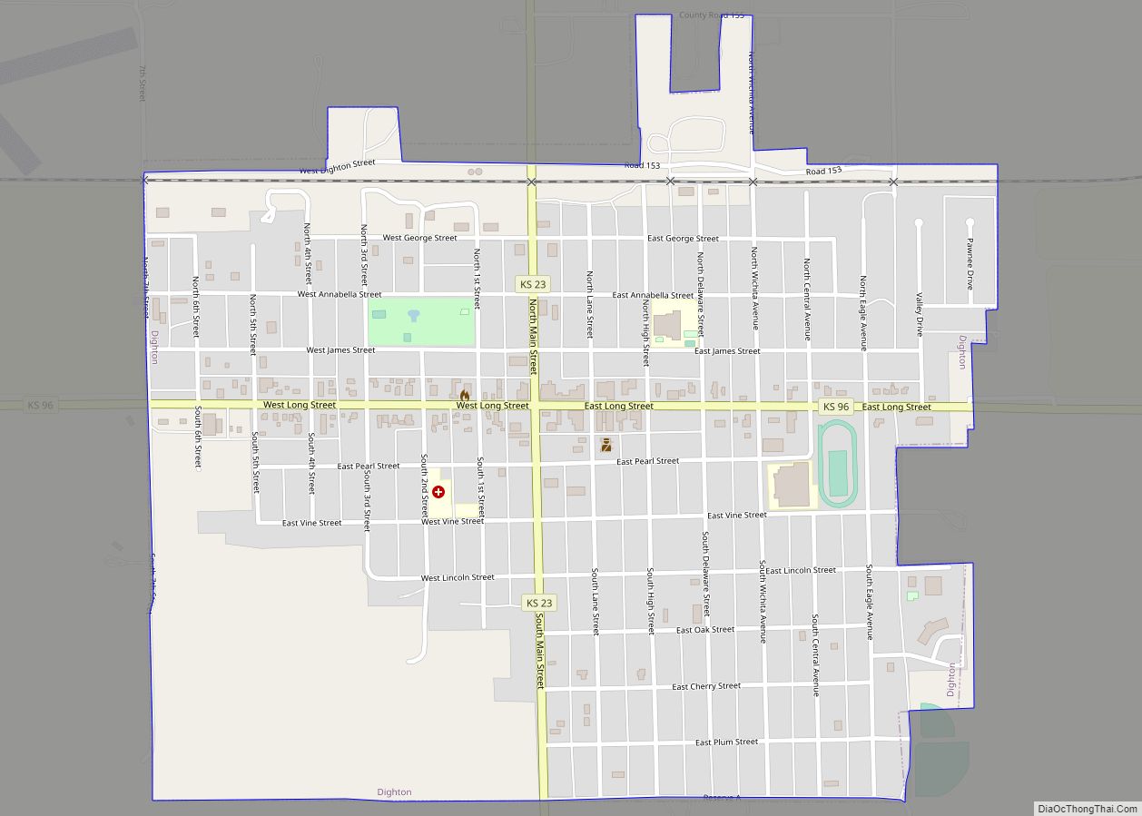
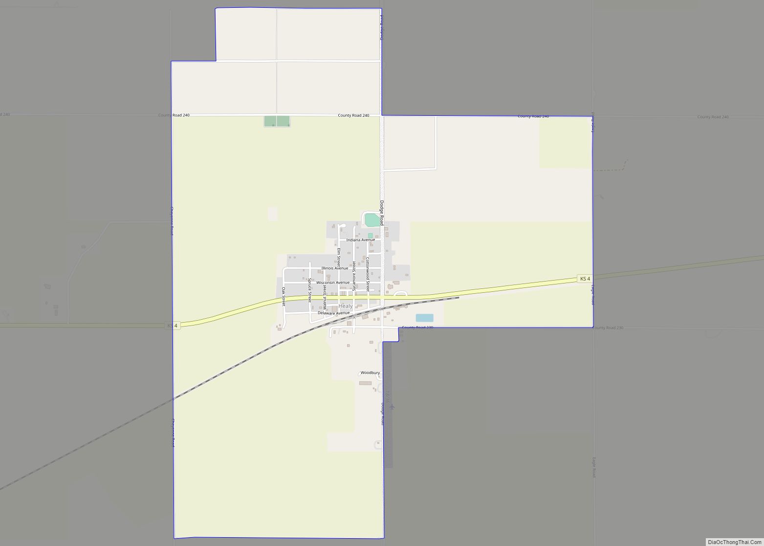
Online Interactive Map
Click on ![]() to view map in "full screen" mode.
to view map in "full screen" mode.
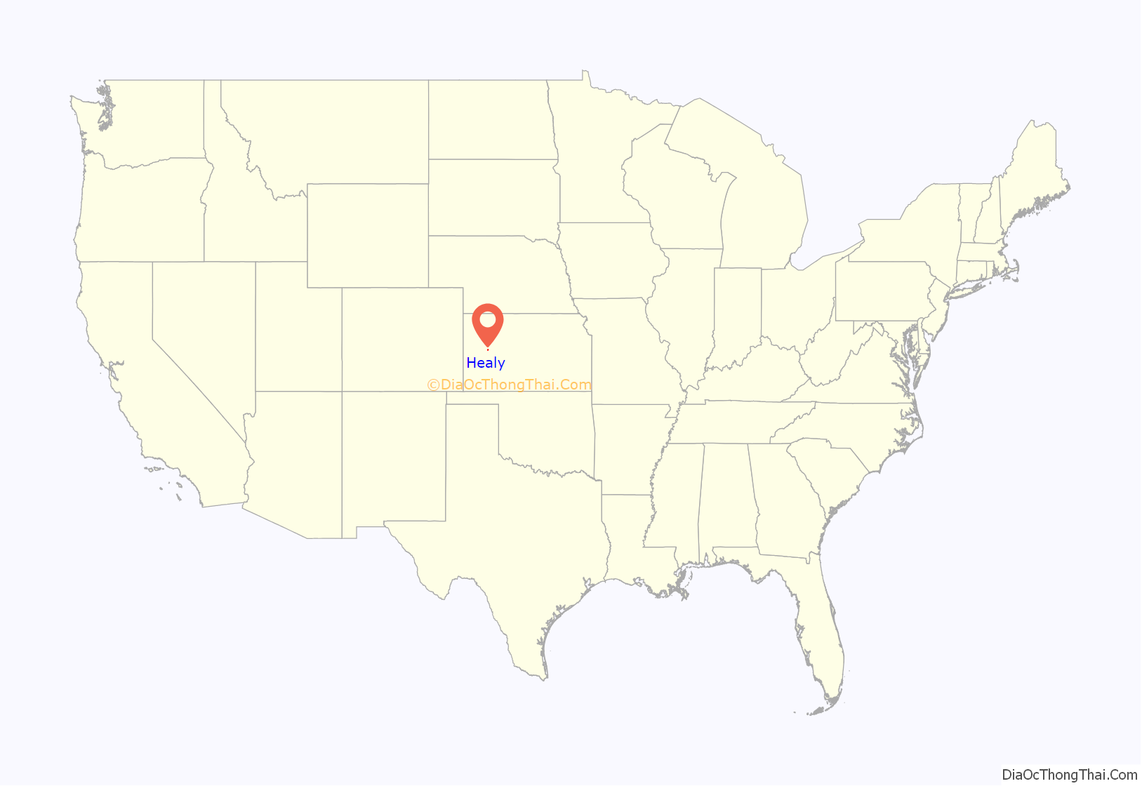
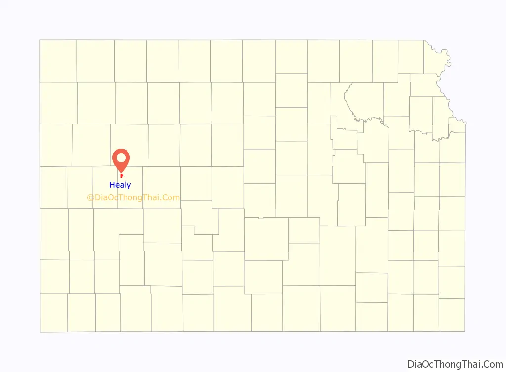
Healy location map. Where is Healy CDP?
History
Healy originated as a station and shipping point on the Missouri Pacific Railroad. The first post office in Healy was established in 1887.
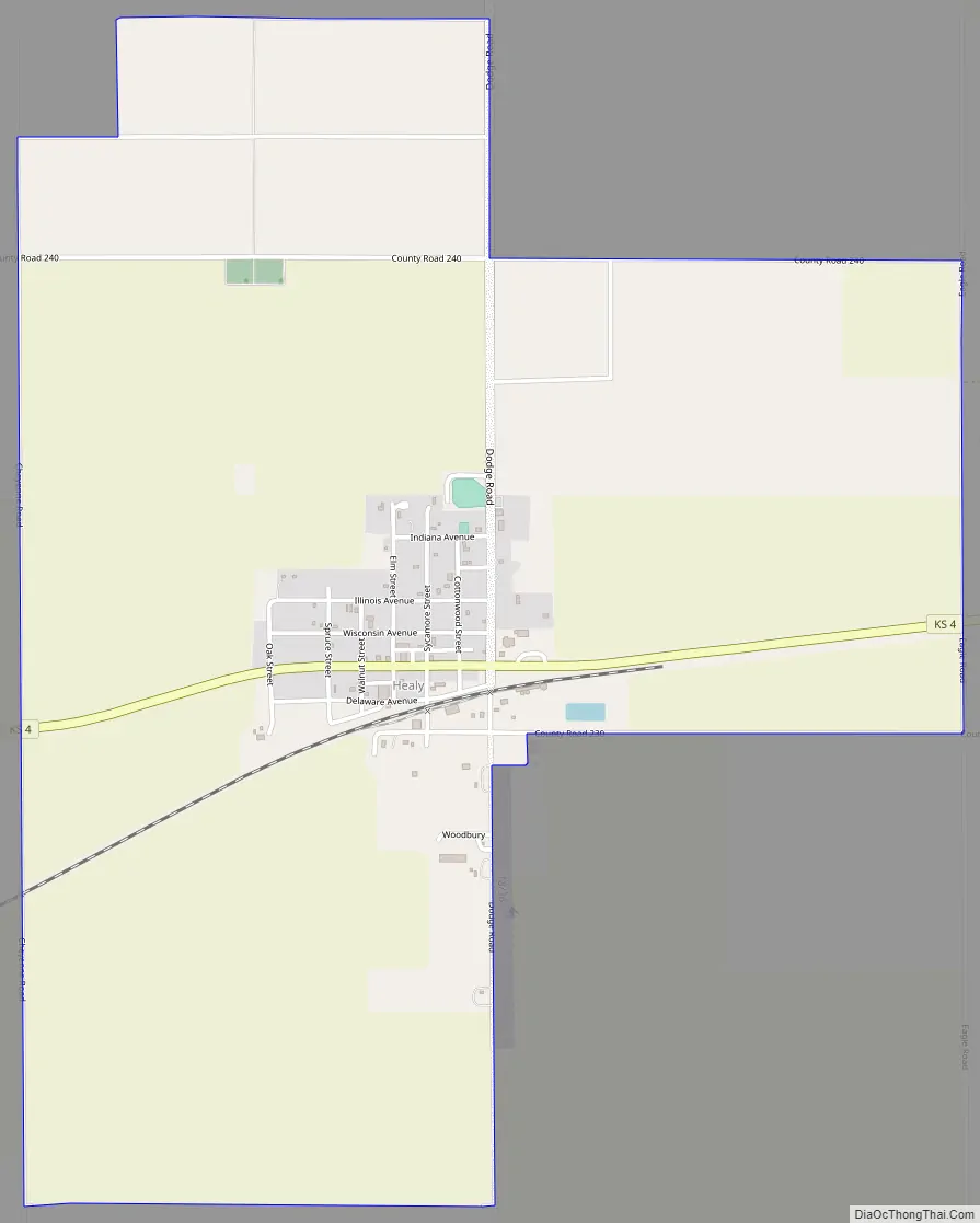
Healy Road Map
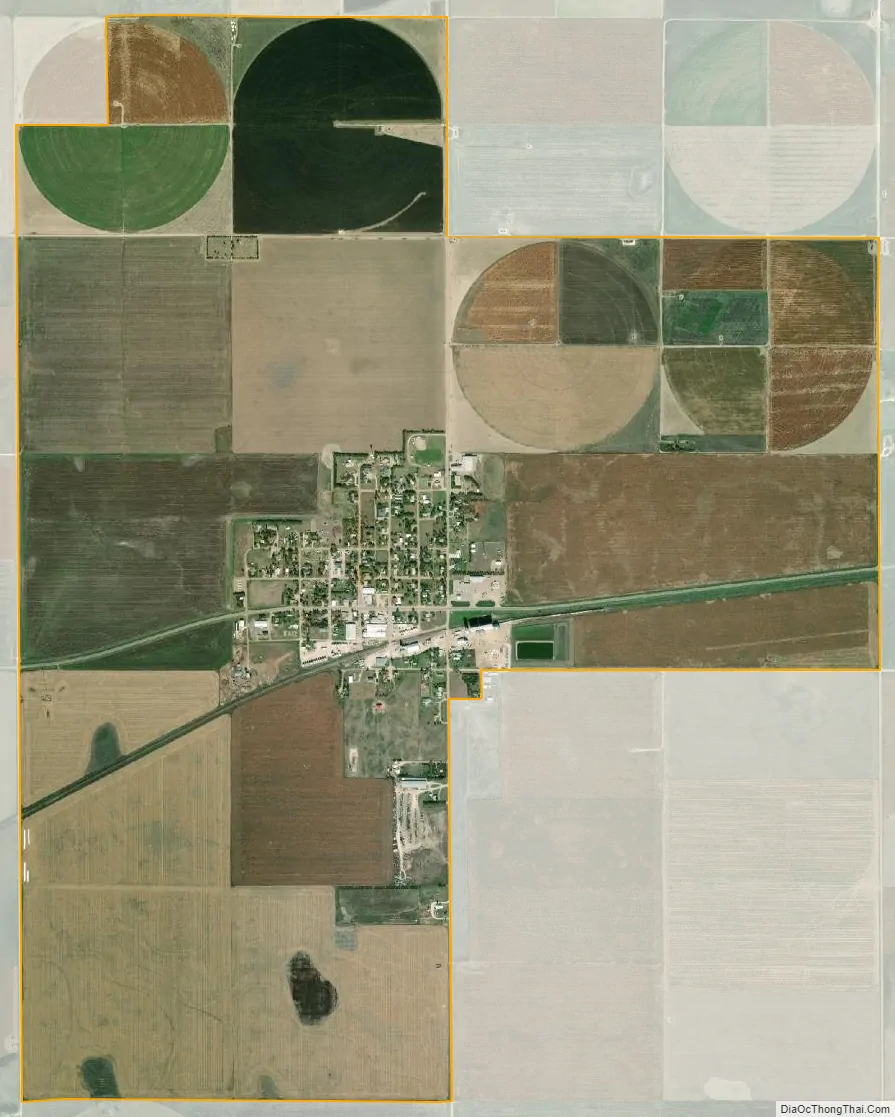
Healy city Satellite Map
Geography
Healy is located in Cheyenne Township on K-4, 16 miles (26 km) east of the highway’s western end at U.S. Route 83 and 9 miles (14 km) west of Shields. Via K-4 and K-23, Healy is 17 miles (27 km) northwest of Dighton, the Lane county seat.
According to the U.S. Census Bureau, the Healy census-designated place (CDP) has an area of 3.5 square miles (9.0 km), all of it land.
Climate
According to the Köppen Climate Classification system, Healy has a semi-arid climate, abbreviated “BSk” on climate maps.
See also
Map of Kansas State and its subdivision:- Allen
- Anderson
- Atchison
- Barber
- Barton
- Bourbon
- Brown
- Butler
- Chase
- Chautauqua
- Cherokee
- Cheyenne
- Clark
- Clay
- Cloud
- Coffey
- Comanche
- Cowley
- Crawford
- Decatur
- Dickinson
- Doniphan
- Douglas
- Edwards
- Elk
- Ellis
- Ellsworth
- Finney
- Ford
- Franklin
- Geary
- Gove
- Graham
- Grant
- Gray
- Greeley
- Greenwood
- Hamilton
- Harper
- Harvey
- Haskell
- Hodgeman
- Jackson
- Jefferson
- Jewell
- Johnson
- Kearny
- Kingman
- Kiowa
- Labette
- Lane
- Leavenworth
- Lincoln
- Linn
- Logan
- Lyon
- Marion
- Marshall
- McPherson
- Meade
- Miami
- Mitchell
- Montgomery
- Morris
- Morton
- Nemaha
- Neosho
- Ness
- Norton
- Osage
- Osborne
- Ottawa
- Pawnee
- Phillips
- Pottawatomie
- Pratt
- Rawlins
- Reno
- Republic
- Rice
- Riley
- Rooks
- Rush
- Russell
- Saline
- Scott
- Sedgwick
- Seward
- Shawnee
- Sheridan
- Sherman
- Smith
- Stafford
- Stanton
- Stevens
- Sumner
- Thomas
- Trego
- Wabaunsee
- Wallace
- Washington
- Wichita
- Wilson
- Woodson
- Wyandotte
- Alabama
- Alaska
- Arizona
- Arkansas
- California
- Colorado
- Connecticut
- Delaware
- District of Columbia
- Florida
- Georgia
- Hawaii
- Idaho
- Illinois
- Indiana
- Iowa
- Kansas
- Kentucky
- Louisiana
- Maine
- Maryland
- Massachusetts
- Michigan
- Minnesota
- Mississippi
- Missouri
- Montana
- Nebraska
- Nevada
- New Hampshire
- New Jersey
- New Mexico
- New York
- North Carolina
- North Dakota
- Ohio
- Oklahoma
- Oregon
- Pennsylvania
- Rhode Island
- South Carolina
- South Dakota
- Tennessee
- Texas
- Utah
- Vermont
- Virginia
- Washington
- West Virginia
- Wisconsin
- Wyoming