Holyrood is a city in Ellsworth County, Kansas, United States. As of the 2020 census, the population of the city was 403.
| Name: | Holyrood city |
|---|---|
| LSAD Code: | 25 |
| LSAD Description: | city (suffix) |
| State: | Kansas |
| County: | Ellsworth County |
| Founded: | 1874 |
| Incorporated: | 1901 |
| Elevation: | 1,808 ft (551 m) |
| Total Area: | 0.44 sq mi (1.13 km²) |
| Land Area: | 0.43 sq mi (1.11 km²) |
| Water Area: | 0.01 sq mi (0.02 km²) |
| Total Population: | 403 |
| Population Density: | 920/sq mi (360/km²) |
| Area code: | 785 |
| FIPS code: | 2032850 |
| Website: | holyroodkansas.com |
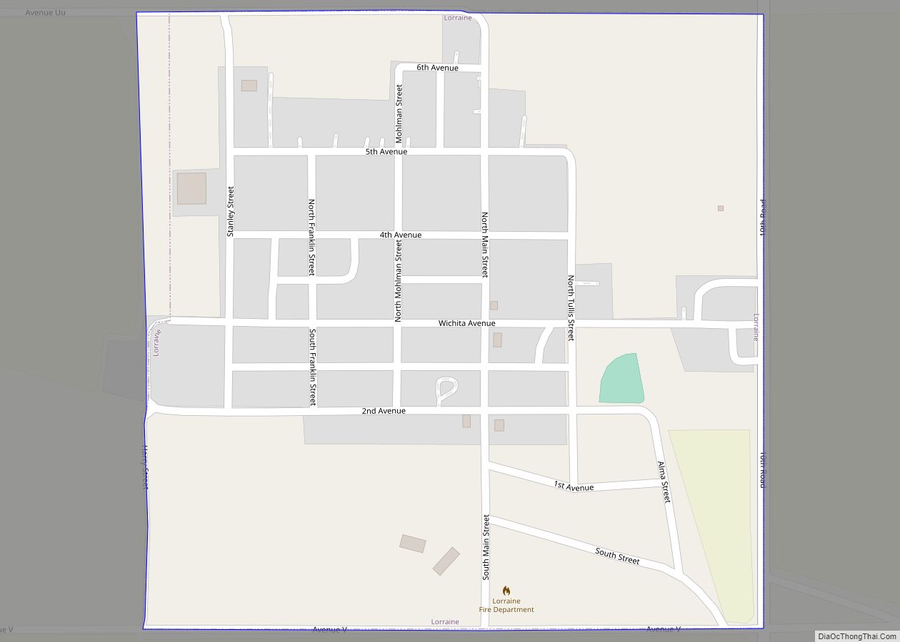
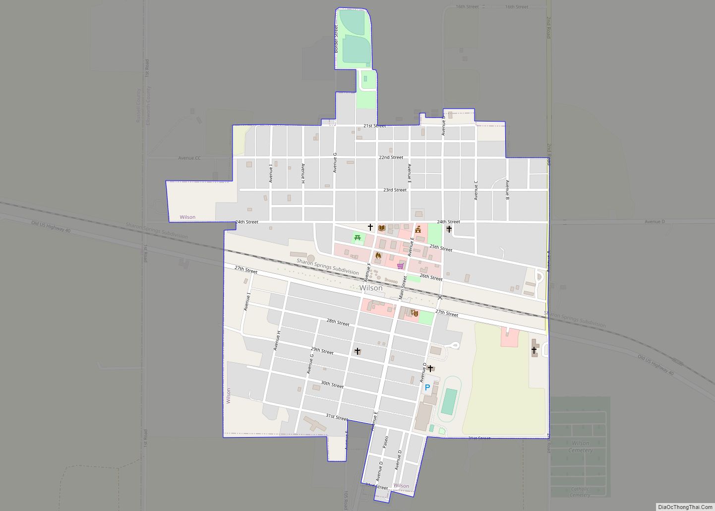
Online Interactive Map
Click on ![]() to view map in "full screen" mode.
to view map in "full screen" mode.
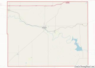
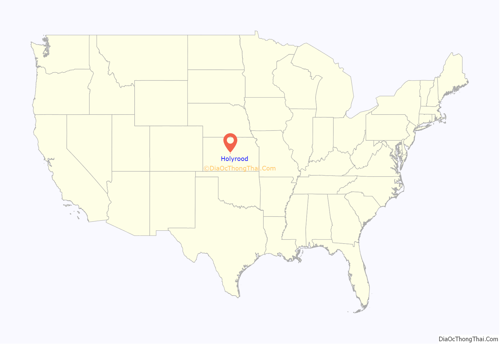
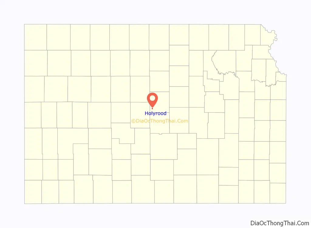
Holyrood location map. Where is Holyrood city?
History
Holyrood was founded in 1874 and was established as a city in 1886. The original site of Holyrood was a half-mile south of Holyrood’s present site. When settlers first moved into the area, dugout houses were the home of choice. The first settlers of Holyrood were Irish, but they were soon followed by people of German and Czech Origin. Some of the first names to appear in the area were Phelan, Corrigan, Schepmann, and Siemsen as noted in the St. Peter Lutheran Church’s earliest records.
The first post office in Holyrood was established in June 1874, but the name of the post office was spelled Hollyrood. The name was changed on July 26, 1898. The first postmaster was John Corrigan who served for over four years. Corrigan hailed from Holyrood, Ontario, Canada. The name of Holyrood originally comes from Holyrood Abbey, today known as the Abbey and Palace of Holyroodhouse, in Edinburgh, Scotland. Through Corrigan, the town can directly trace its name to the town of Holyrood, Ontario, Canada, a town settled by Scottish people.
During the first several decades of Holyrood’s existence, church worship was held in the homes of local farmers, funerals were at the home of the deceased, and marriages were performed in the home of the bride’s parents. In 1883, the first church of Holyrood was organized: the St. Peter’s Lutheran Church. The first building for the Lutheran congregation was built one mile southeast of Holyrood. In 1908, the parsonage was moved into town.
To meet the needs of the Catholic settlers, St. Mary’s Catholic Church was constructed. Date of construction is given as both 1886 and 1889. The Church was originally called The Church of the Holy Rood (Cross), but the name was later changed.
Next came the St. Paul’s Evangelical church. Land for this church was bought on March 27, 1892, and constructing of the church was finished in September 1892. The church served its purpose for 35 years until it was dismantled and a new brick church was constructed in its place. The church was later renamed the United Church of Christ.
The first official school of Holyrood opened its doors in 1895 and catered to first through ninth grade. Before then, school was held in the homes of settlers or at the Lutheran Church. In 1906, a new school was constructed followed by another new elementary school in 1930. Holyrood High School was established in 1920.
Holyrood has had two local newspapers: The Holyrood Banner and the Holyrood Gazette. One of the most well known columns in the Holyrood Gazette was written by Leonard Sekavec and was known as “Sek’s Appeal.” The columns written by Sekavec had not only been printed in the Gazette, but also had been quoted in other newspapers including ones from New York and Los Angeles. Sekavec wrote the column for forty years and was also the editor of the Holyrood Gazette.
The city’s current slogan is “A Little City with Lots of Pride.”
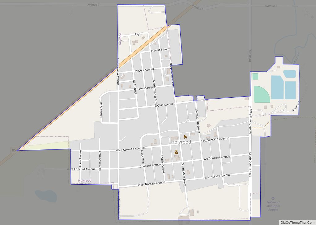
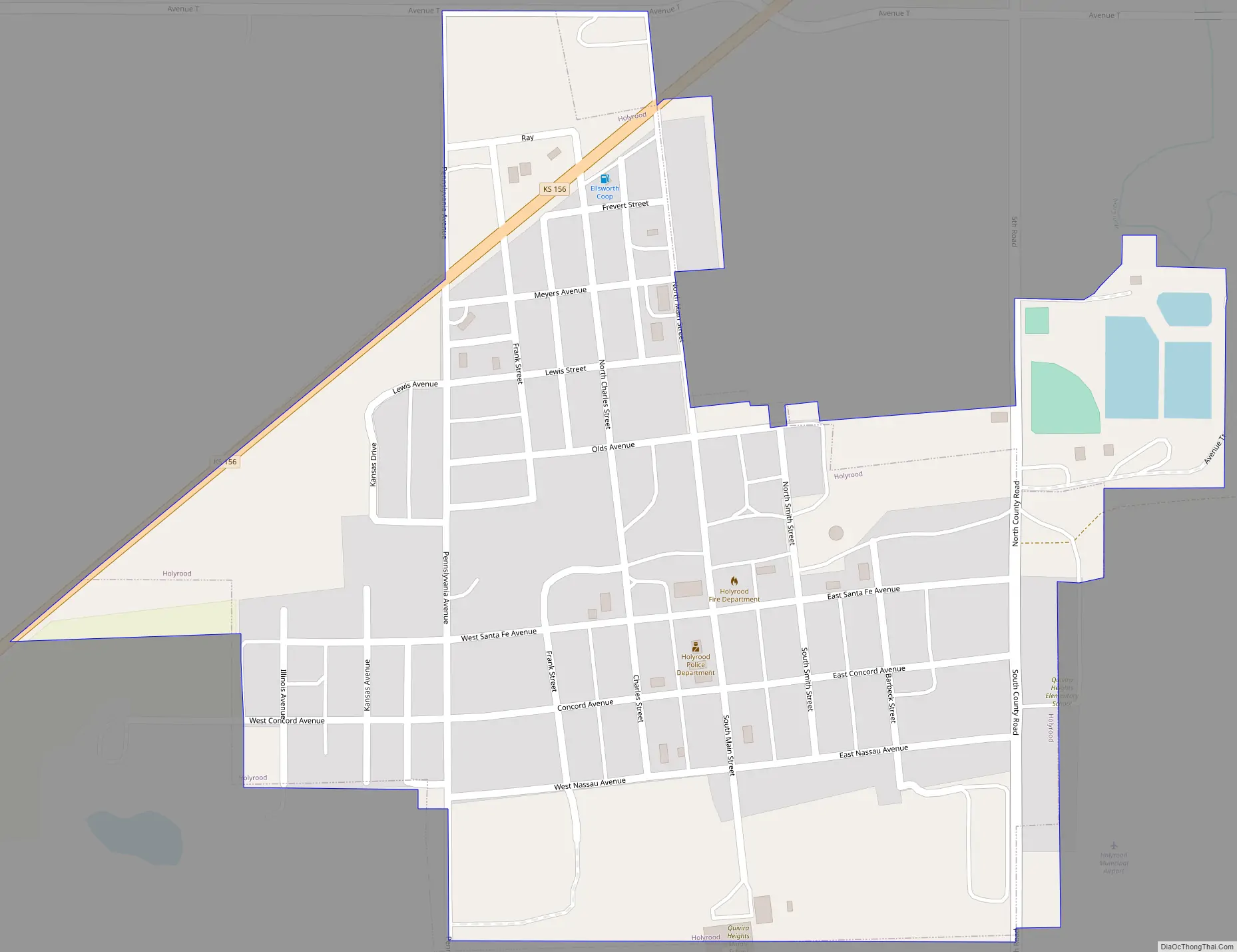
Holyrood Road Map
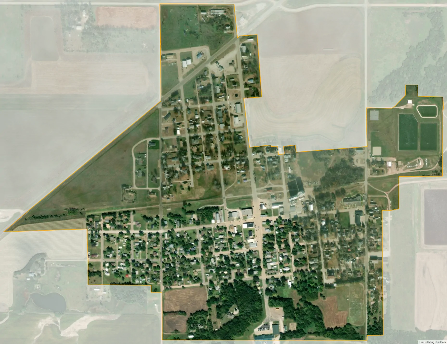
Holyrood city Satellite Map
Geography
Holyrood is located at 38°35′15″N 98°24′43″W / 38.58750°N 98.41194°W / 38.58750; -98.41194 (38.587543, -98.412050). According to the United States Census Bureau, the city has a total area of 0.43 square miles (1.11 km), of which, 0.42 square miles (1.09 km) is land and 0.01 square miles (0.03 km) is water.
See also
Map of Kansas State and its subdivision:- Allen
- Anderson
- Atchison
- Barber
- Barton
- Bourbon
- Brown
- Butler
- Chase
- Chautauqua
- Cherokee
- Cheyenne
- Clark
- Clay
- Cloud
- Coffey
- Comanche
- Cowley
- Crawford
- Decatur
- Dickinson
- Doniphan
- Douglas
- Edwards
- Elk
- Ellis
- Ellsworth
- Finney
- Ford
- Franklin
- Geary
- Gove
- Graham
- Grant
- Gray
- Greeley
- Greenwood
- Hamilton
- Harper
- Harvey
- Haskell
- Hodgeman
- Jackson
- Jefferson
- Jewell
- Johnson
- Kearny
- Kingman
- Kiowa
- Labette
- Lane
- Leavenworth
- Lincoln
- Linn
- Logan
- Lyon
- Marion
- Marshall
- McPherson
- Meade
- Miami
- Mitchell
- Montgomery
- Morris
- Morton
- Nemaha
- Neosho
- Ness
- Norton
- Osage
- Osborne
- Ottawa
- Pawnee
- Phillips
- Pottawatomie
- Pratt
- Rawlins
- Reno
- Republic
- Rice
- Riley
- Rooks
- Rush
- Russell
- Saline
- Scott
- Sedgwick
- Seward
- Shawnee
- Sheridan
- Sherman
- Smith
- Stafford
- Stanton
- Stevens
- Sumner
- Thomas
- Trego
- Wabaunsee
- Wallace
- Washington
- Wichita
- Wilson
- Woodson
- Wyandotte
- Alabama
- Alaska
- Arizona
- Arkansas
- California
- Colorado
- Connecticut
- Delaware
- District of Columbia
- Florida
- Georgia
- Hawaii
- Idaho
- Illinois
- Indiana
- Iowa
- Kansas
- Kentucky
- Louisiana
- Maine
- Maryland
- Massachusetts
- Michigan
- Minnesota
- Mississippi
- Missouri
- Montana
- Nebraska
- Nevada
- New Hampshire
- New Jersey
- New Mexico
- New York
- North Carolina
- North Dakota
- Ohio
- Oklahoma
- Oregon
- Pennsylvania
- Rhode Island
- South Carolina
- South Dakota
- Tennessee
- Texas
- Utah
- Vermont
- Virginia
- Washington
- West Virginia
- Wisconsin
- Wyoming