Jamestown is a city in Cloud County, Kansas, United States. As of the 2020 census, the population of the city was 237.
| Name: | Jamestown city |
|---|---|
| LSAD Code: | 25 |
| LSAD Description: | city (suffix) |
| State: | Kansas |
| County: | Cloud County |
| Founded: | 1878 |
| Incorporated: | 1883 |
| Elevation: | 1,437 ft (438 m) |
| Total Area: | 0.29 sq mi (0.76 km²) |
| Land Area: | 0.29 sq mi (0.76 km²) |
| Water Area: | 0.00 sq mi (0.00 km²) |
| Total Population: | 237 |
| Population Density: | 820/sq mi (310/km²) |
| ZIP code: | 66948 |
| Area code: | 785 |
| FIPS code: | 2034975 |
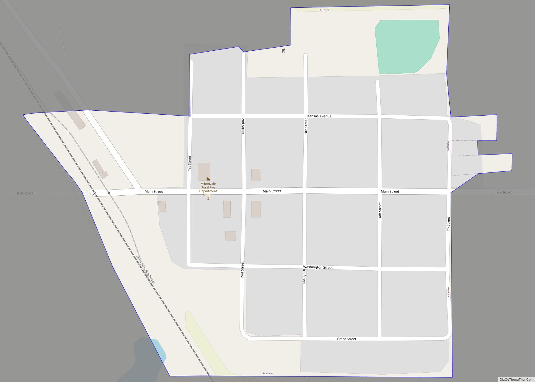
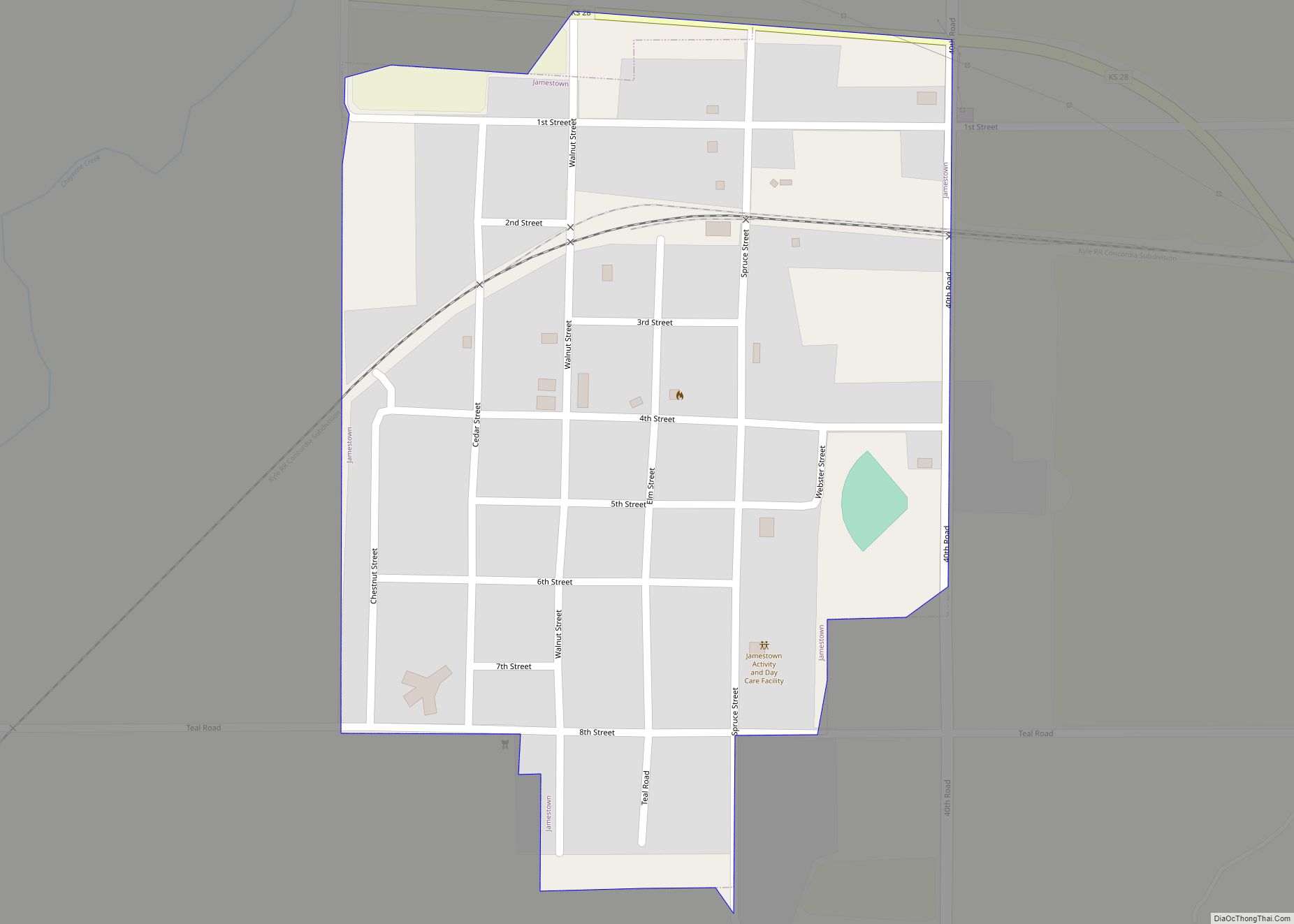
Online Interactive Map
Click on ![]() to view map in "full screen" mode.
to view map in "full screen" mode.
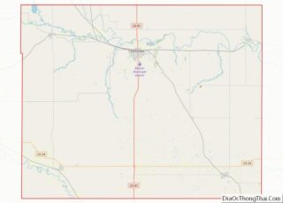
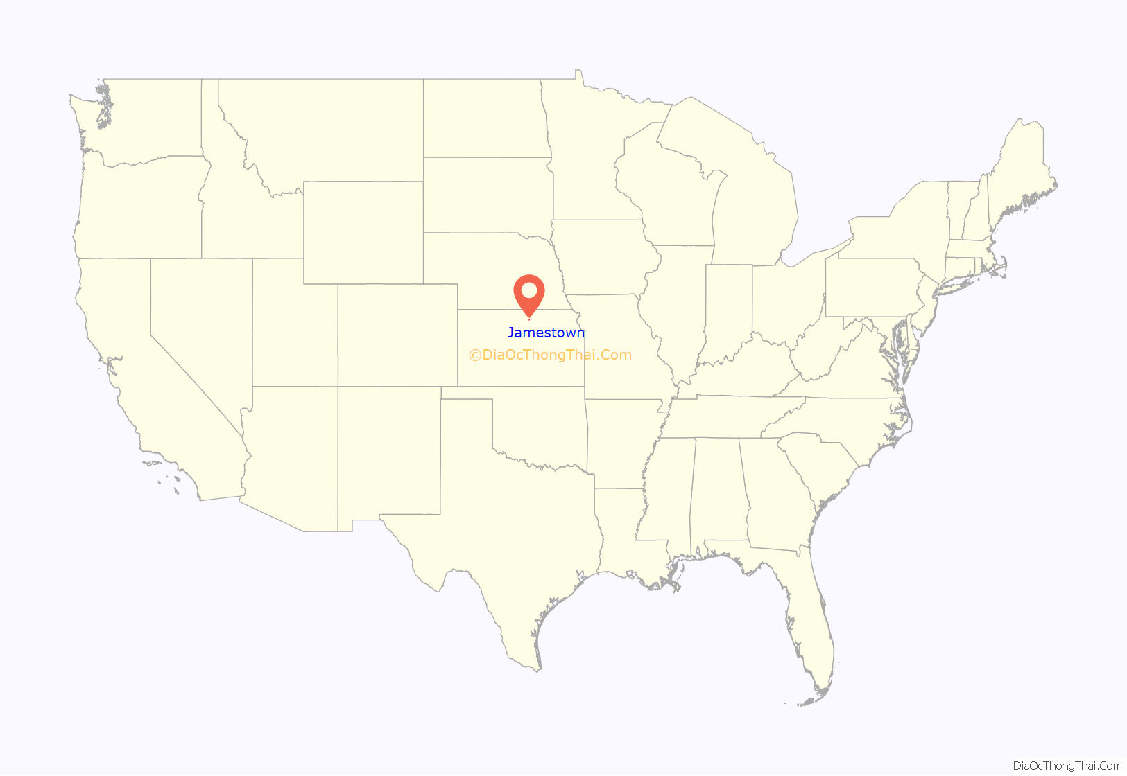
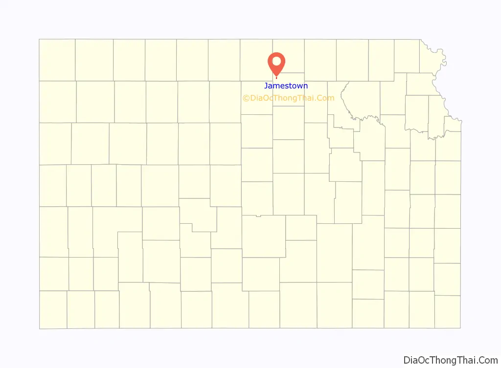
Jamestown location map. Where is Jamestown city?
History
Jamestown was founded in 1878, and was incorporated as a city in 1883. It was named for either Senator James Pomeroy, or James P. Pomeroy, a railroad official. A post office was opened in Alva (an extinct town) in 1871, but it was moved to Jamestown in 1878. The town located itself on the Missouri Pacific Railroad.
1911 fire
In 1911 the entire downtown business district was destroyed by a fire. Few records remain of that fire, but the townspeople subsequently rebuilt the downtown commercial district. Three towns in the area had devastating downtown fires on the same night: Jamestown, Courtland, and Glasco. Damage was reported to amount to $500,000 at the time.
2000 fire
History repeated itself on January 28, 2000 when another fire consumed several buildings on Main Street and spread to the city hall. And again, history repeated itself as the town rebuilt. Mayor Judy Hill stated, “A fire like that can destroy a small town, but instead it ignited a community spirit here.” In a few days, Jamestown was having town meetings to make plans for the future.
Rebuilding town
The funeral home in Jamestown was selected as the temporary city office and meeting place. More than 50 people (out of a population of 307 at the time) came to town meetings there and the citizens organized into several committees to begin work.
Today, Jamestown has a new community center with daycare facilities and a thriving downtown activities center with a health clinic, public library, and several businesses.
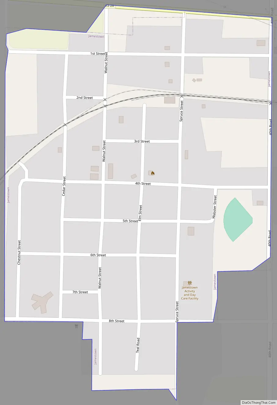
Jamestown Road Map
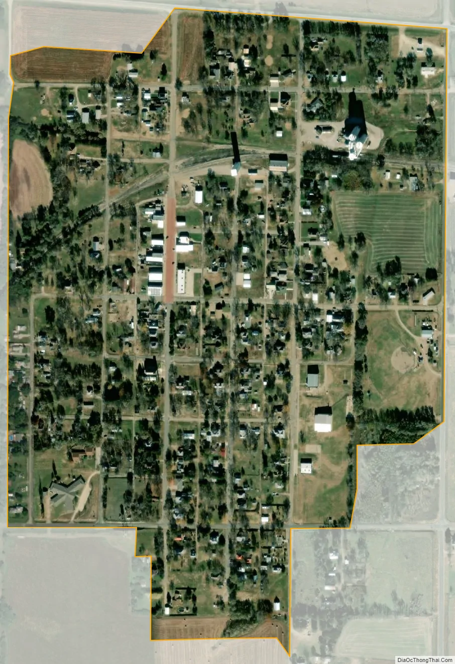
Jamestown city Satellite Map
Geography
Jamestown is located at 39°36′0″N 97°51′42″W / 39.60000°N 97.86167°W / 39.60000; -97.86167 (39.600031, -97.861759). According to the United States Census Bureau, the city has a total area of 0.29 square miles (0.75 km), all of it land.
See also
Map of Kansas State and its subdivision:- Allen
- Anderson
- Atchison
- Barber
- Barton
- Bourbon
- Brown
- Butler
- Chase
- Chautauqua
- Cherokee
- Cheyenne
- Clark
- Clay
- Cloud
- Coffey
- Comanche
- Cowley
- Crawford
- Decatur
- Dickinson
- Doniphan
- Douglas
- Edwards
- Elk
- Ellis
- Ellsworth
- Finney
- Ford
- Franklin
- Geary
- Gove
- Graham
- Grant
- Gray
- Greeley
- Greenwood
- Hamilton
- Harper
- Harvey
- Haskell
- Hodgeman
- Jackson
- Jefferson
- Jewell
- Johnson
- Kearny
- Kingman
- Kiowa
- Labette
- Lane
- Leavenworth
- Lincoln
- Linn
- Logan
- Lyon
- Marion
- Marshall
- McPherson
- Meade
- Miami
- Mitchell
- Montgomery
- Morris
- Morton
- Nemaha
- Neosho
- Ness
- Norton
- Osage
- Osborne
- Ottawa
- Pawnee
- Phillips
- Pottawatomie
- Pratt
- Rawlins
- Reno
- Republic
- Rice
- Riley
- Rooks
- Rush
- Russell
- Saline
- Scott
- Sedgwick
- Seward
- Shawnee
- Sheridan
- Sherman
- Smith
- Stafford
- Stanton
- Stevens
- Sumner
- Thomas
- Trego
- Wabaunsee
- Wallace
- Washington
- Wichita
- Wilson
- Woodson
- Wyandotte
- Alabama
- Alaska
- Arizona
- Arkansas
- California
- Colorado
- Connecticut
- Delaware
- District of Columbia
- Florida
- Georgia
- Hawaii
- Idaho
- Illinois
- Indiana
- Iowa
- Kansas
- Kentucky
- Louisiana
- Maine
- Maryland
- Massachusetts
- Michigan
- Minnesota
- Mississippi
- Missouri
- Montana
- Nebraska
- Nevada
- New Hampshire
- New Jersey
- New Mexico
- New York
- North Carolina
- North Dakota
- Ohio
- Oklahoma
- Oregon
- Pennsylvania
- Rhode Island
- South Carolina
- South Dakota
- Tennessee
- Texas
- Utah
- Vermont
- Virginia
- Washington
- West Virginia
- Wisconsin
- Wyoming