Kanorado is a city in Sherman County, Kansas, United States. The name is a portmanteau of Kansas and Colorado, because it is near the state line. As of the 2020 census, the population of the city was 153.
| Name: | Kanorado city |
|---|---|
| LSAD Code: | 25 |
| LSAD Description: | city (suffix) |
| State: | Kansas |
| County: | Sherman County |
| Founded: | 1880s |
| Incorporated: | 1920 |
| Elevation: | 3,908 ft (1,191 m) |
| Total Area: | 0.26 sq mi (0.68 km²) |
| Land Area: | 0.26 sq mi (0.68 km²) |
| Water Area: | 0.00 sq mi (0.00 km²) |
| Total Population: | 153 |
| Population Density: | 590/sq mi (230/km²) |
| ZIP code: | 67741 |
| Area code: | 785 |
| FIPS code: | 2035975 |
| Website: | cityofkanorado.com |
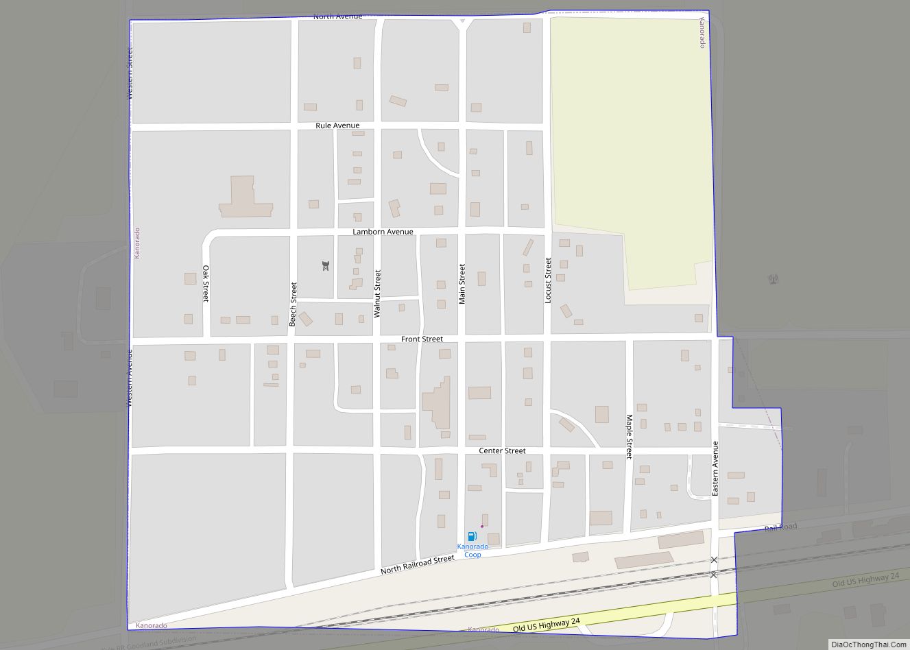
Online Interactive Map
Click on ![]() to view map in "full screen" mode.
to view map in "full screen" mode.
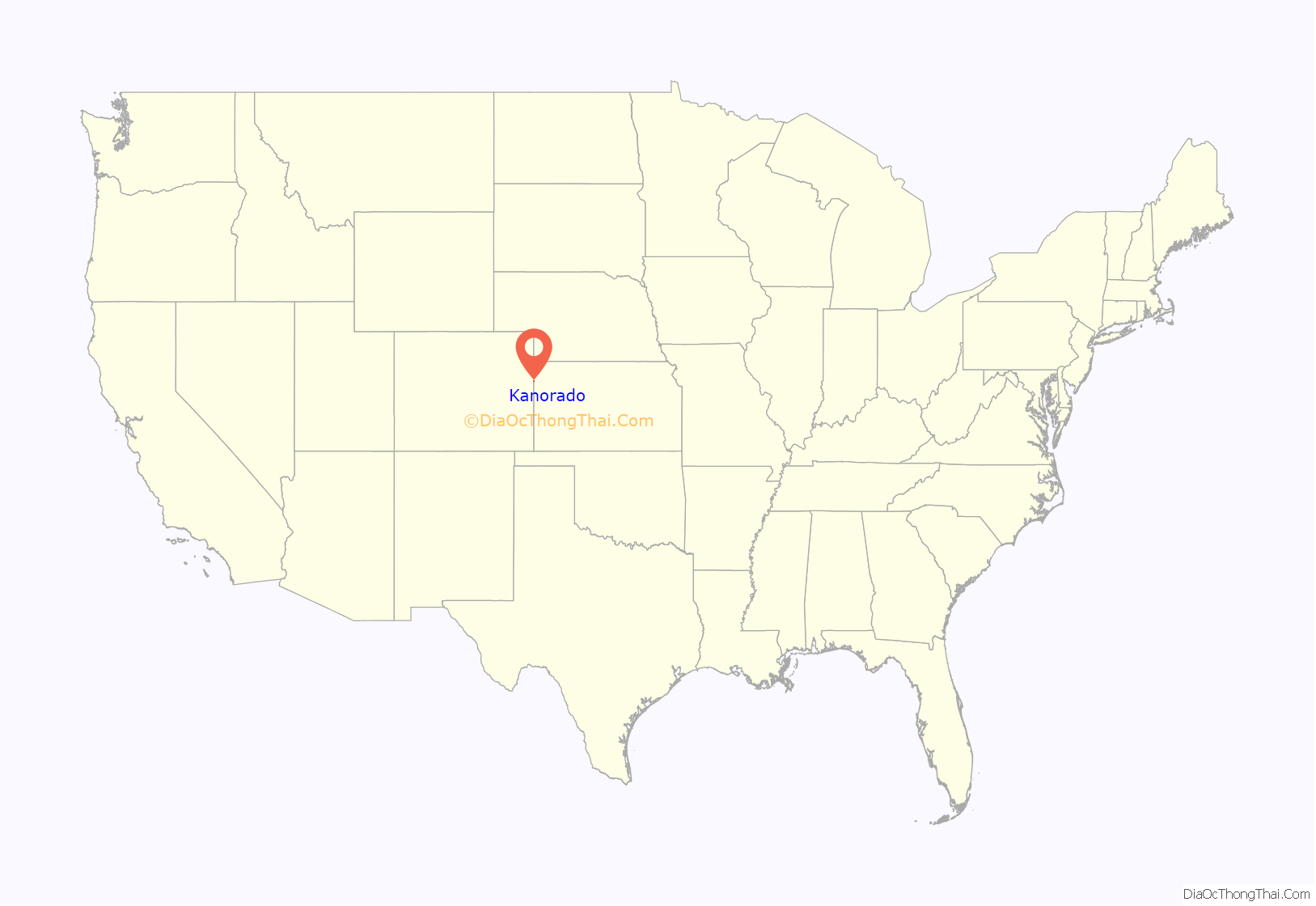
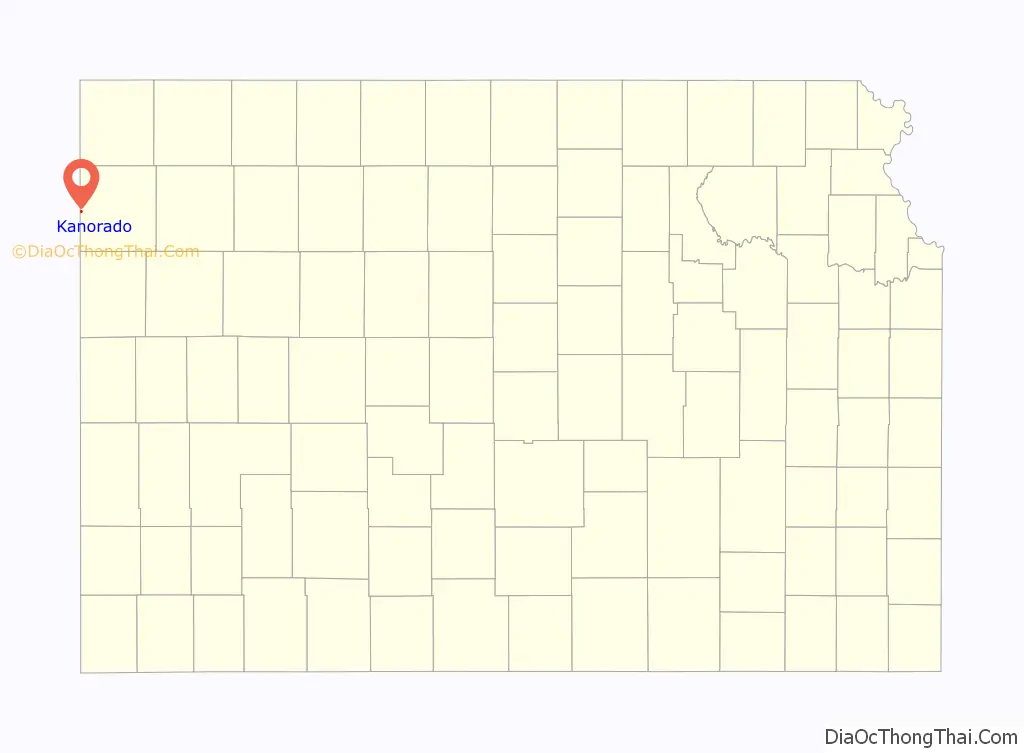
Kanorado location map. Where is Kanorado city?
History
The first post office in the community was established in 1889, but the post office was called Lamborn until 1903.
On February 10, 2016 the House of Representatives of the State of Kansas passed a Resolution (Res.#6033) designating the City of Kanorado as the Top City of Kansas. This is due to it being the highest city elevation in the State of Kansas at 3,907 feet.
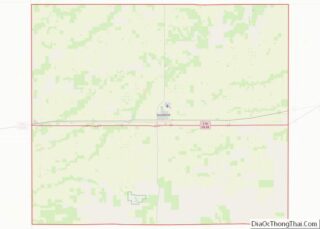
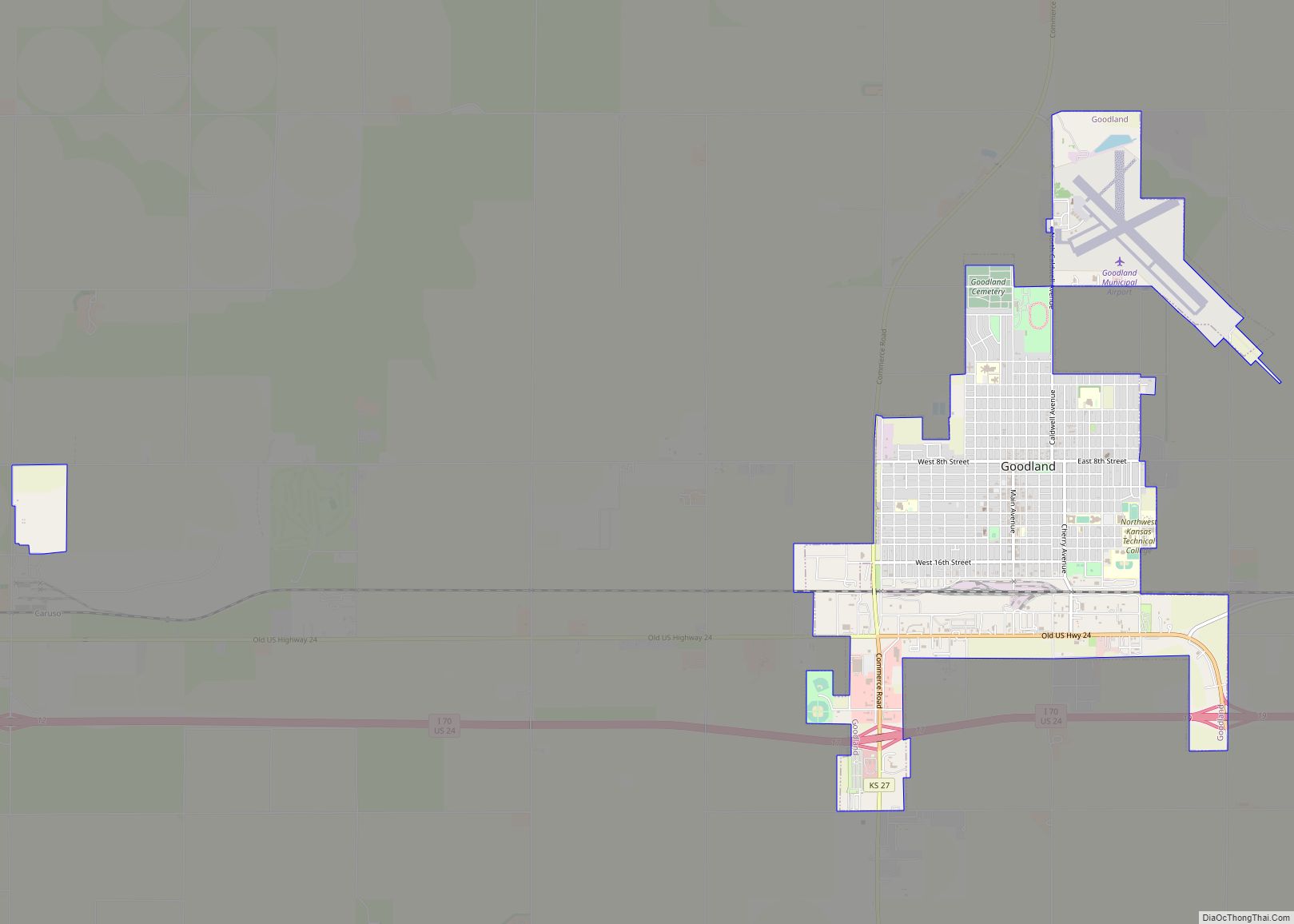
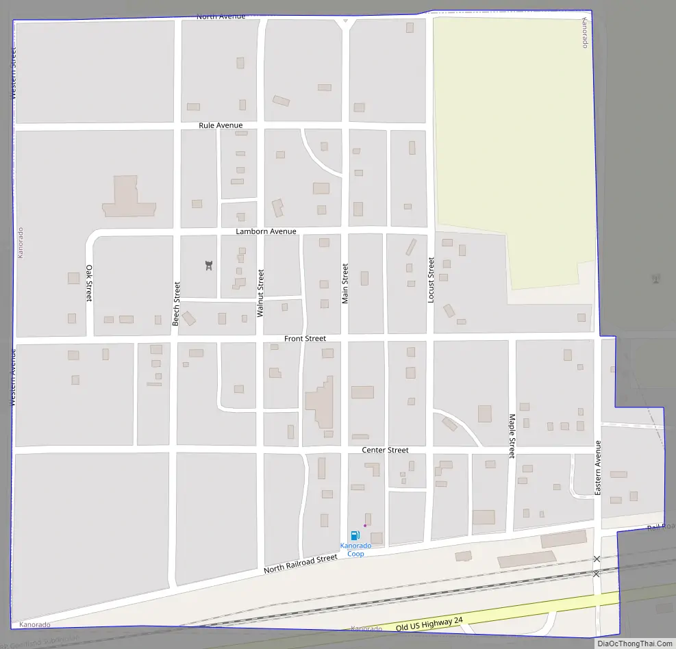
Kanorado Road Map
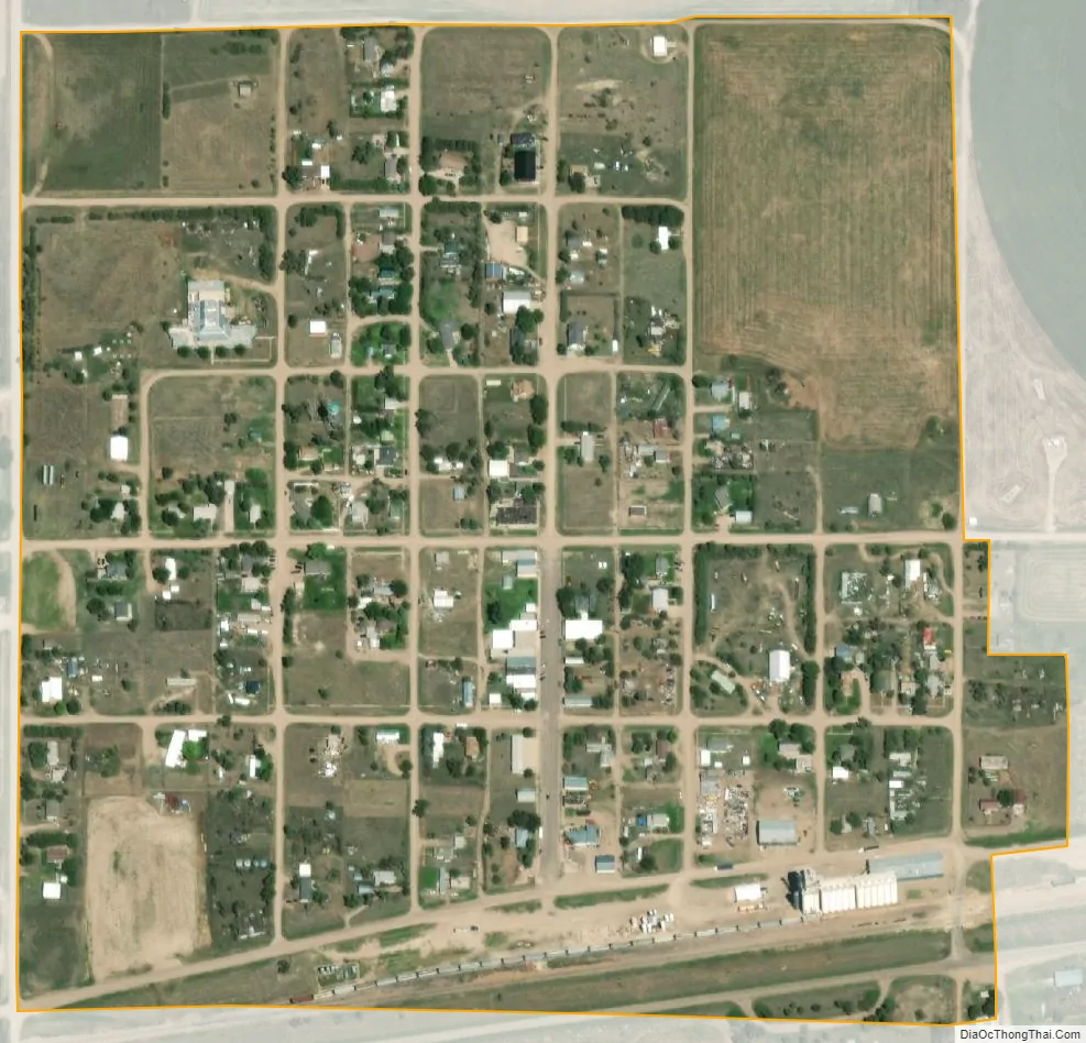
Kanorado city Satellite Map
Geography
Kanorado is located at 39°19′59″N 102°2′17″W / 39.33306°N 102.03806°W / 39.33306; -102.03806 (39.3330542, -102.0379596). It is Exit 1 off of Interstate 70 in Kansas. According to the United States Census Bureau, the city has a total area of 0.26 square miles (0.67 km), all land. Kanorado is located in Sherman County.
In 1873 Cutler’s History of the State of Kansas book, it characterized the county as “very level land and almost treeless. Beaver Creek, Little Beaver and both forks of the Sappa River, rise in this county, and the North Fork of the Smoky Hill, passes from Colorado into the south part of the county, and out of it into Wallace.” In the main, farming is by irrigation.
See also
Map of Kansas State and its subdivision:- Allen
- Anderson
- Atchison
- Barber
- Barton
- Bourbon
- Brown
- Butler
- Chase
- Chautauqua
- Cherokee
- Cheyenne
- Clark
- Clay
- Cloud
- Coffey
- Comanche
- Cowley
- Crawford
- Decatur
- Dickinson
- Doniphan
- Douglas
- Edwards
- Elk
- Ellis
- Ellsworth
- Finney
- Ford
- Franklin
- Geary
- Gove
- Graham
- Grant
- Gray
- Greeley
- Greenwood
- Hamilton
- Harper
- Harvey
- Haskell
- Hodgeman
- Jackson
- Jefferson
- Jewell
- Johnson
- Kearny
- Kingman
- Kiowa
- Labette
- Lane
- Leavenworth
- Lincoln
- Linn
- Logan
- Lyon
- Marion
- Marshall
- McPherson
- Meade
- Miami
- Mitchell
- Montgomery
- Morris
- Morton
- Nemaha
- Neosho
- Ness
- Norton
- Osage
- Osborne
- Ottawa
- Pawnee
- Phillips
- Pottawatomie
- Pratt
- Rawlins
- Reno
- Republic
- Rice
- Riley
- Rooks
- Rush
- Russell
- Saline
- Scott
- Sedgwick
- Seward
- Shawnee
- Sheridan
- Sherman
- Smith
- Stafford
- Stanton
- Stevens
- Sumner
- Thomas
- Trego
- Wabaunsee
- Wallace
- Washington
- Wichita
- Wilson
- Woodson
- Wyandotte
- Alabama
- Alaska
- Arizona
- Arkansas
- California
- Colorado
- Connecticut
- Delaware
- District of Columbia
- Florida
- Georgia
- Hawaii
- Idaho
- Illinois
- Indiana
- Iowa
- Kansas
- Kentucky
- Louisiana
- Maine
- Maryland
- Massachusetts
- Michigan
- Minnesota
- Mississippi
- Missouri
- Montana
- Nebraska
- Nevada
- New Hampshire
- New Jersey
- New Mexico
- New York
- North Carolina
- North Dakota
- Ohio
- Oklahoma
- Oregon
- Pennsylvania
- Rhode Island
- South Carolina
- South Dakota
- Tennessee
- Texas
- Utah
- Vermont
- Virginia
- Washington
- West Virginia
- Wisconsin
- Wyoming