Kensington is a city in Smith County, Kansas, United States. As of the 2020 census, the population of the city was 399.
| Name: | Kensington city |
|---|---|
| LSAD Code: | 25 |
| LSAD Description: | city (suffix) |
| State: | Kansas |
| County: | Smith County |
| Founded: | 1887 |
| Incorporated: | 1900 |
| Elevation: | 1,778 ft (542 m) |
| Total Area: | 0.34 sq mi (0.87 km²) |
| Land Area: | 0.34 sq mi (0.87 km²) |
| Water Area: | 0.00 sq mi (0.00 km²) |
| Total Population: | 399 |
| Population Density: | 1,200/sq mi (460/km²) |
| ZIP code: | 66951 |
| Area code: | 785 |
| FIPS code: | 2036550 |
| Website: | kensingtonks.net |
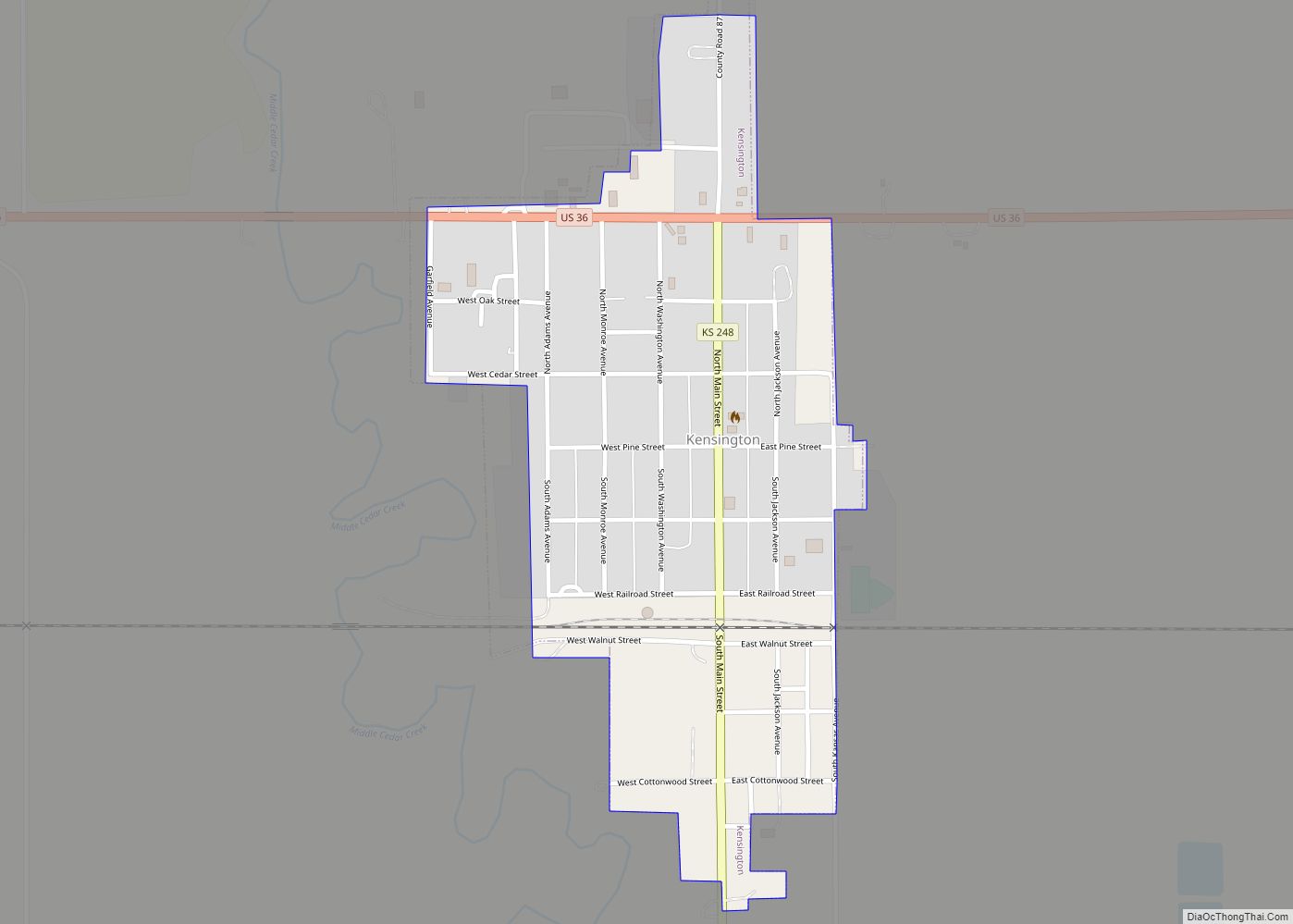
Online Interactive Map
Click on ![]() to view map in "full screen" mode.
to view map in "full screen" mode.
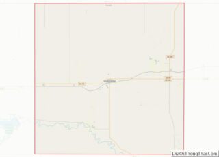
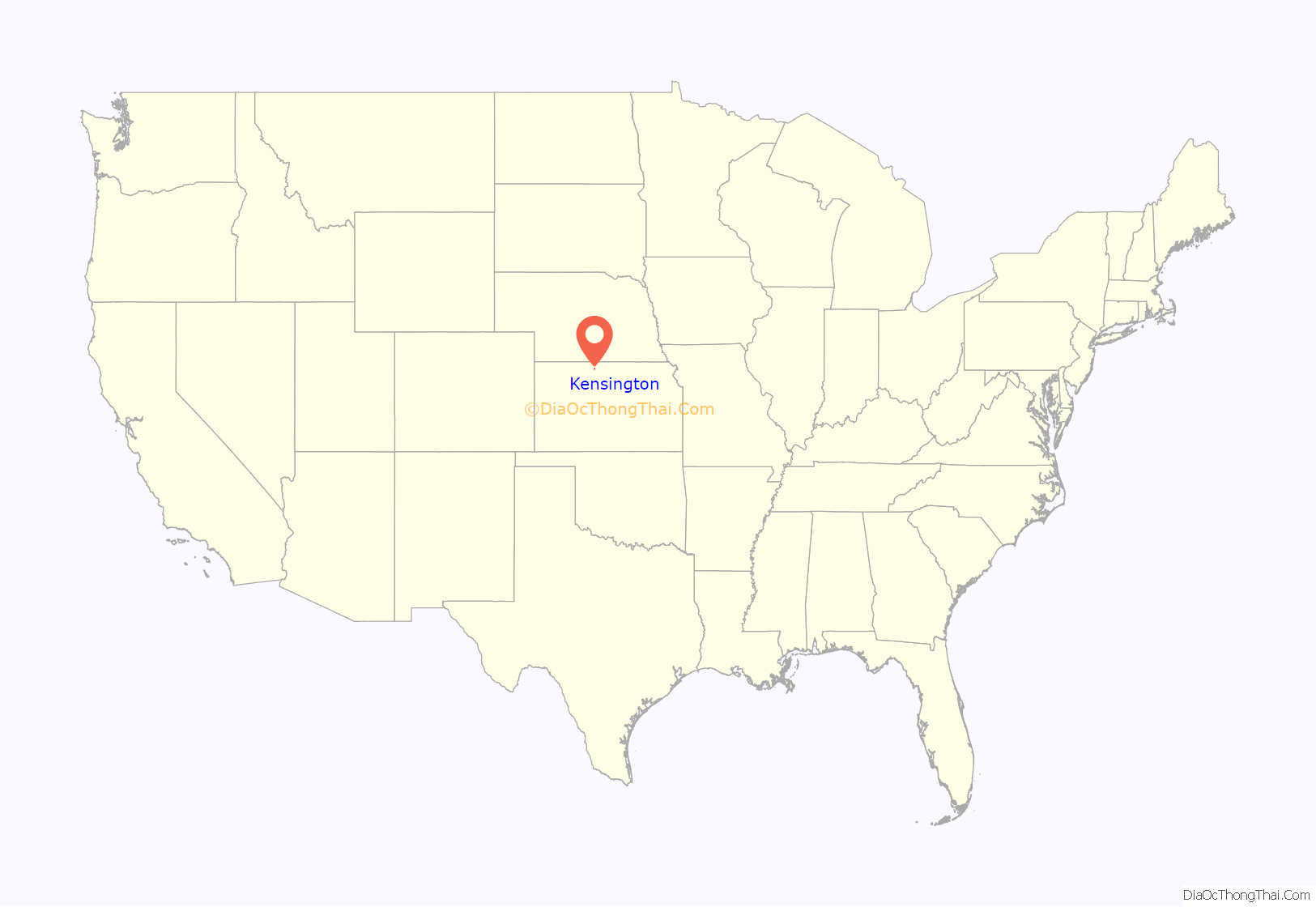
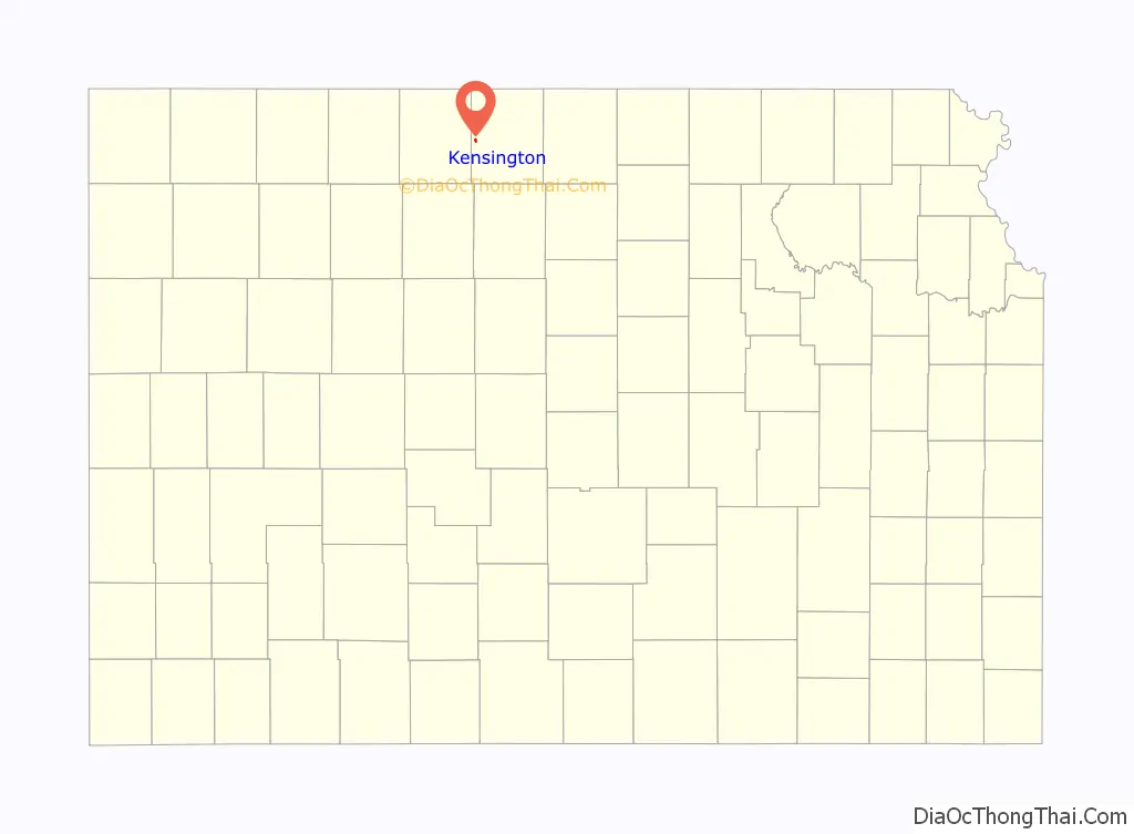
Kensington location map. Where is Kensington city?
History
Kensington was founded circa 1887. It was incorporated as a city in 1900.
Kensington was considered a discordant community in 1892. Many of the husbands and wives lived apart from each other and the society was deemed “broken apart on the account of it”.
Kensington was located on the Chicago, Rock Island and Pacific Railroad.
The first post office in Kensington was established in January 1888.
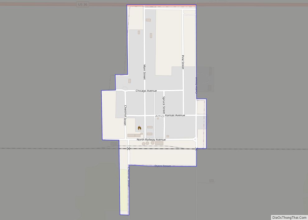
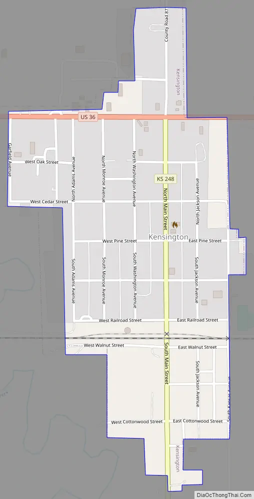
Kensington Road Map
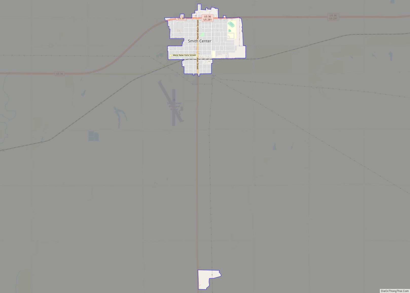
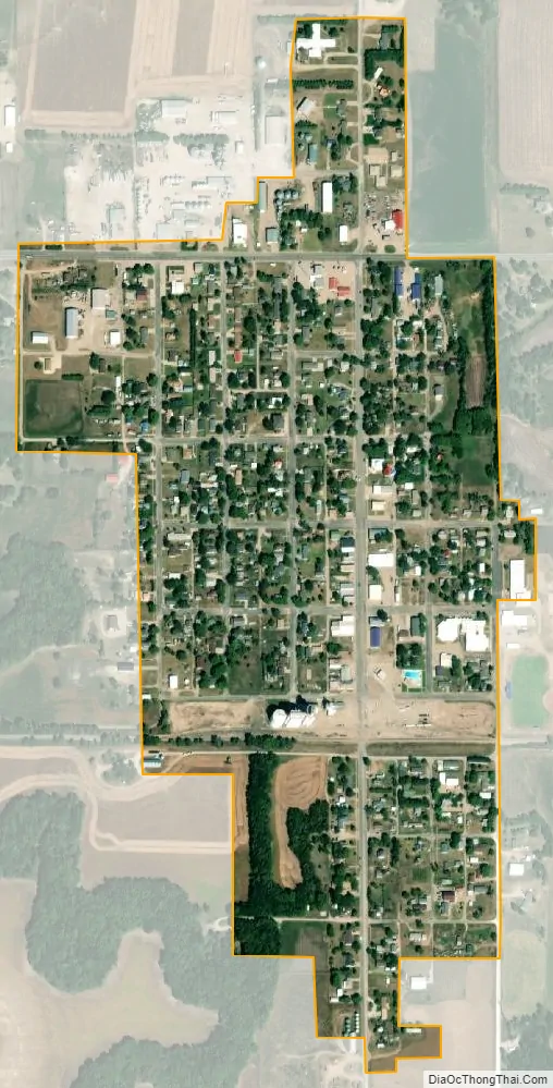
Kensington city Satellite Map
Geography
Kensington is located at 39°45′58″N 99°1′56″W / 39.76611°N 99.03222°W / 39.76611; -99.03222 (39.766110, -99.032308). According to the United States Census Bureau, the city has a total area of 0.36 square miles (0.93 km), all land.
See also
Map of Kansas State and its subdivision:- Allen
- Anderson
- Atchison
- Barber
- Barton
- Bourbon
- Brown
- Butler
- Chase
- Chautauqua
- Cherokee
- Cheyenne
- Clark
- Clay
- Cloud
- Coffey
- Comanche
- Cowley
- Crawford
- Decatur
- Dickinson
- Doniphan
- Douglas
- Edwards
- Elk
- Ellis
- Ellsworth
- Finney
- Ford
- Franklin
- Geary
- Gove
- Graham
- Grant
- Gray
- Greeley
- Greenwood
- Hamilton
- Harper
- Harvey
- Haskell
- Hodgeman
- Jackson
- Jefferson
- Jewell
- Johnson
- Kearny
- Kingman
- Kiowa
- Labette
- Lane
- Leavenworth
- Lincoln
- Linn
- Logan
- Lyon
- Marion
- Marshall
- McPherson
- Meade
- Miami
- Mitchell
- Montgomery
- Morris
- Morton
- Nemaha
- Neosho
- Ness
- Norton
- Osage
- Osborne
- Ottawa
- Pawnee
- Phillips
- Pottawatomie
- Pratt
- Rawlins
- Reno
- Republic
- Rice
- Riley
- Rooks
- Rush
- Russell
- Saline
- Scott
- Sedgwick
- Seward
- Shawnee
- Sheridan
- Sherman
- Smith
- Stafford
- Stanton
- Stevens
- Sumner
- Thomas
- Trego
- Wabaunsee
- Wallace
- Washington
- Wichita
- Wilson
- Woodson
- Wyandotte
- Alabama
- Alaska
- Arizona
- Arkansas
- California
- Colorado
- Connecticut
- Delaware
- District of Columbia
- Florida
- Georgia
- Hawaii
- Idaho
- Illinois
- Indiana
- Iowa
- Kansas
- Kentucky
- Louisiana
- Maine
- Maryland
- Massachusetts
- Michigan
- Minnesota
- Mississippi
- Missouri
- Montana
- Nebraska
- Nevada
- New Hampshire
- New Jersey
- New Mexico
- New York
- North Carolina
- North Dakota
- Ohio
- Oklahoma
- Oregon
- Pennsylvania
- Rhode Island
- South Carolina
- South Dakota
- Tennessee
- Texas
- Utah
- Vermont
- Virginia
- Washington
- West Virginia
- Wisconsin
- Wyoming