Kinsley is a city in and the county seat of Edwards County, Kansas, United States. As of the 2020 census, the population of the city was 1,456.
| Name: | Kinsley city |
|---|---|
| LSAD Code: | 25 |
| LSAD Description: | city (suffix) |
| State: | Kansas |
| County: | Edwards County |
| Founded: | 1870s |
| Incorporated: | 1878 |
| Elevation: | 2,169 ft (661 m) |
| Total Area: | 1.30 sq mi (3.36 km²) |
| Land Area: | 1.30 sq mi (3.36 km²) |
| Water Area: | 0.00 sq mi (0.00 km²) |
| Total Population: | 1,456 |
| Population Density: | 1,100/sq mi (430/km²) |
| ZIP code: | 67547 |
| Area code: | 620 |
| FIPS code: | 2037075 |
| Website: | kinsleyks.com |
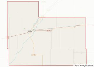
Online Interactive Map
Click on ![]() to view map in "full screen" mode.
to view map in "full screen" mode.
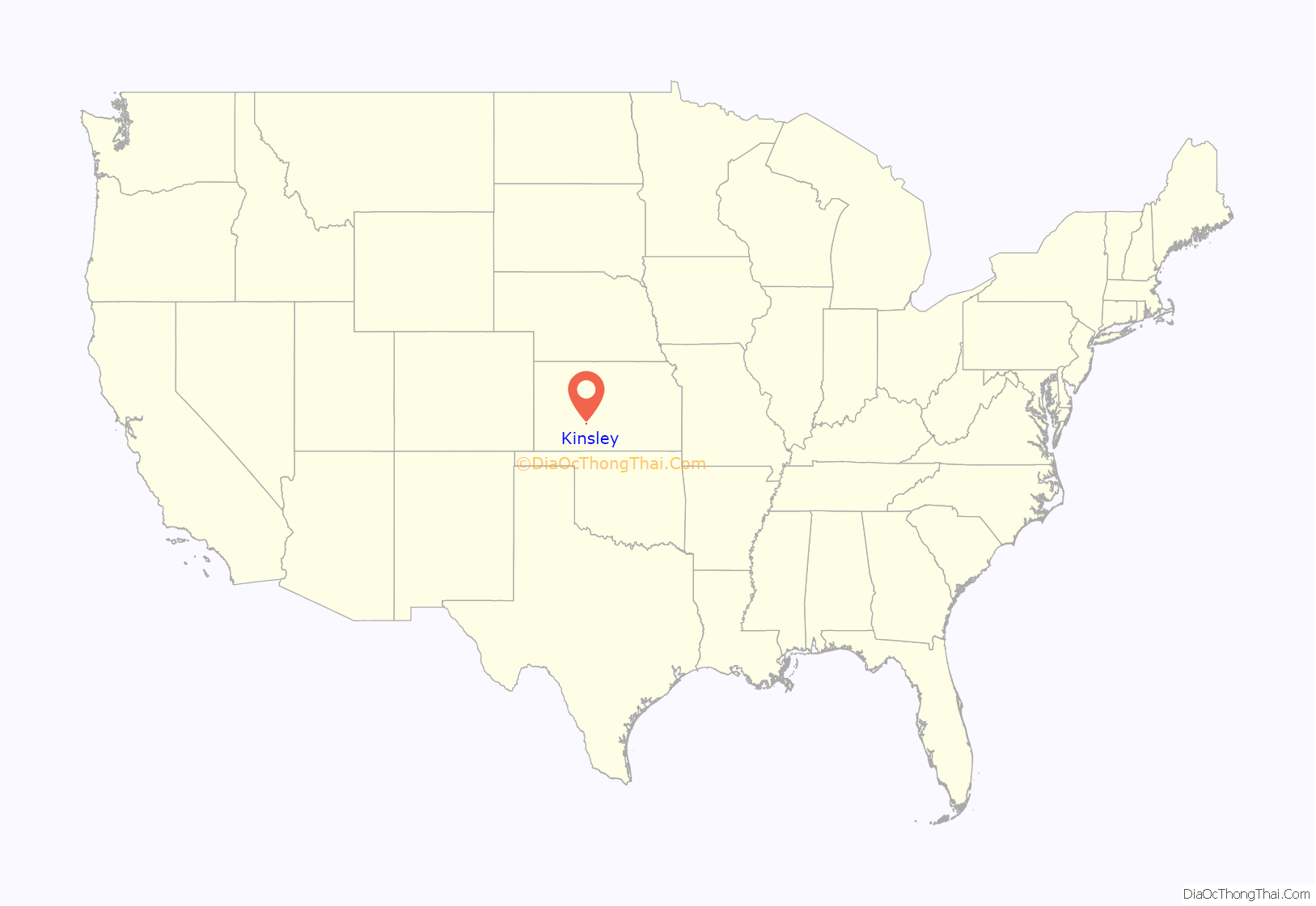
Kinsley location map. Where is Kinsley city?
History
Kinsley was originally called Petersburg, and under the latter name laid out in 1873. It was later renamed Peter’s City, and finally the name Kinsley was adopted honoring E.W. Kinsley, a capitalist from Boston.
The first post office in Kinsley was established under the name Peters in April 1873. The post office was renamed Kinsley in January, 1874.
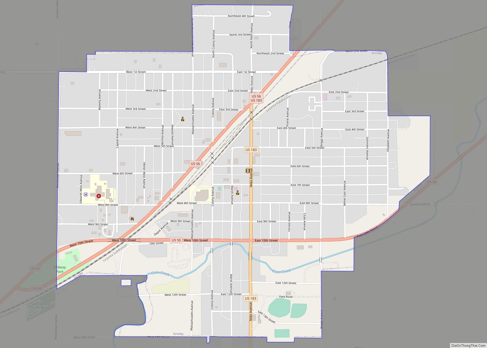
Kinsley Road Map
Kinsley city Satellite Map
Geography
Kinsley is located at 37°55′20″N 99°24′42″W / 37.92222°N 99.41167°W / 37.92222; -99.41167 (37.922354, -99.411531). According to the United States Census Bureau, the city has a total area of 1.29 square miles (3.34 km), all of it land.
Kinsley is approximately 35 miles (56 km) east of Dodge City.
Climate
The climate in this area is characterized by hot, humid summers and generally mild to cool winters. According to the Köppen Climate Classification system, Kinsley has a humid subtropical climate, abbreviated “Cfa” on climate maps.
See also
Map of Kansas State and its subdivision:- Allen
- Anderson
- Atchison
- Barber
- Barton
- Bourbon
- Brown
- Butler
- Chase
- Chautauqua
- Cherokee
- Cheyenne
- Clark
- Clay
- Cloud
- Coffey
- Comanche
- Cowley
- Crawford
- Decatur
- Dickinson
- Doniphan
- Douglas
- Edwards
- Elk
- Ellis
- Ellsworth
- Finney
- Ford
- Franklin
- Geary
- Gove
- Graham
- Grant
- Gray
- Greeley
- Greenwood
- Hamilton
- Harper
- Harvey
- Haskell
- Hodgeman
- Jackson
- Jefferson
- Jewell
- Johnson
- Kearny
- Kingman
- Kiowa
- Labette
- Lane
- Leavenworth
- Lincoln
- Linn
- Logan
- Lyon
- Marion
- Marshall
- McPherson
- Meade
- Miami
- Mitchell
- Montgomery
- Morris
- Morton
- Nemaha
- Neosho
- Ness
- Norton
- Osage
- Osborne
- Ottawa
- Pawnee
- Phillips
- Pottawatomie
- Pratt
- Rawlins
- Reno
- Republic
- Rice
- Riley
- Rooks
- Rush
- Russell
- Saline
- Scott
- Sedgwick
- Seward
- Shawnee
- Sheridan
- Sherman
- Smith
- Stafford
- Stanton
- Stevens
- Sumner
- Thomas
- Trego
- Wabaunsee
- Wallace
- Washington
- Wichita
- Wilson
- Woodson
- Wyandotte
- Alabama
- Alaska
- Arizona
- Arkansas
- California
- Colorado
- Connecticut
- Delaware
- District of Columbia
- Florida
- Georgia
- Hawaii
- Idaho
- Illinois
- Indiana
- Iowa
- Kansas
- Kentucky
- Louisiana
- Maine
- Maryland
- Massachusetts
- Michigan
- Minnesota
- Mississippi
- Missouri
- Montana
- Nebraska
- Nevada
- New Hampshire
- New Jersey
- New Mexico
- New York
- North Carolina
- North Dakota
- Ohio
- Oklahoma
- Oregon
- Pennsylvania
- Rhode Island
- South Carolina
- South Dakota
- Tennessee
- Texas
- Utah
- Vermont
- Virginia
- Washington
- West Virginia
- Wisconsin
- Wyoming
