Kirwin is a city in Phillips County, Kansas, United States. As of the 2020 census, the population of the city was 139.
| Name: | Kirwin city |
|---|---|
| LSAD Code: | 25 |
| LSAD Description: | city (suffix) |
| State: | Kansas |
| County: | Phillips County |
| Founded: | 1869 |
| Incorporated: | 1877 |
| Elevation: | 1,700 ft (500 m) |
| Total Area: | 0.92 sq mi (2.37 km²) |
| Land Area: | 0.92 sq mi (2.37 km²) |
| Water Area: | 0.00 sq mi (0.00 km²) |
| Total Population: | 139 |
| Population Density: | 150/sq mi (59/km²) |
| ZIP code: | 67644 |
| Area code: | 785 |
| FIPS code: | 2037275 |
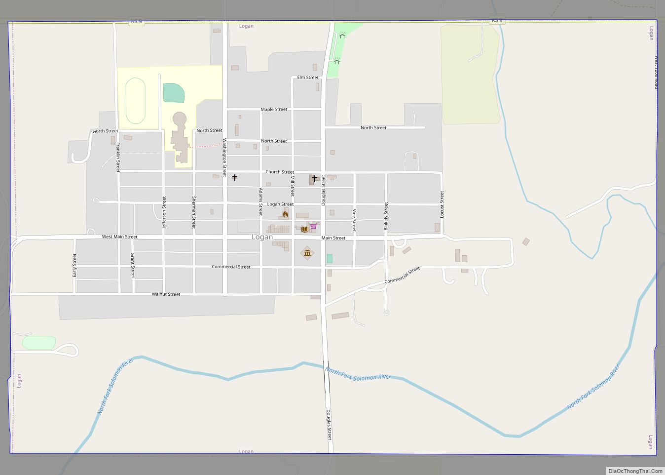
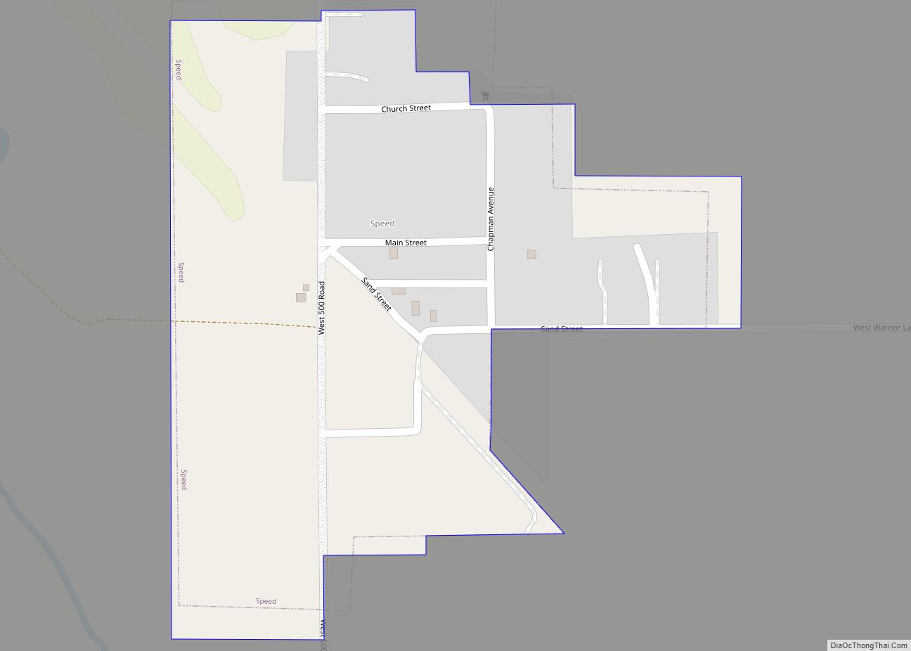
Online Interactive Map
Click on ![]() to view map in "full screen" mode.
to view map in "full screen" mode.
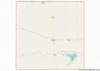
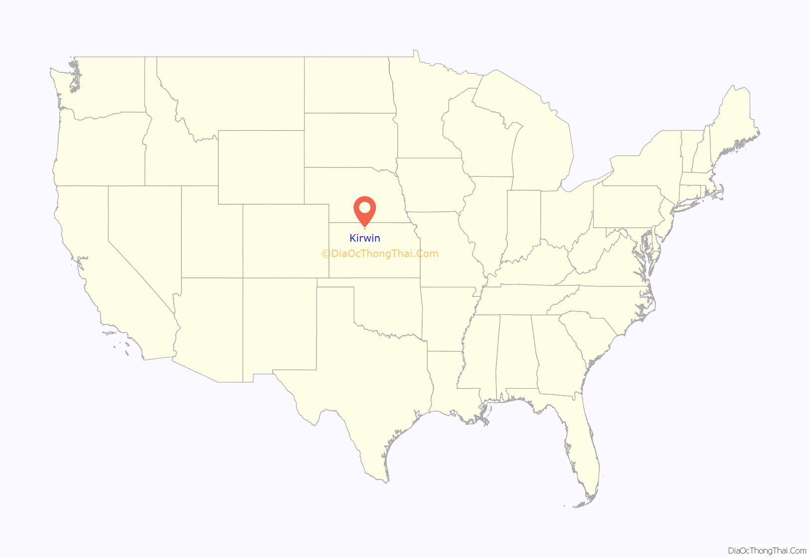
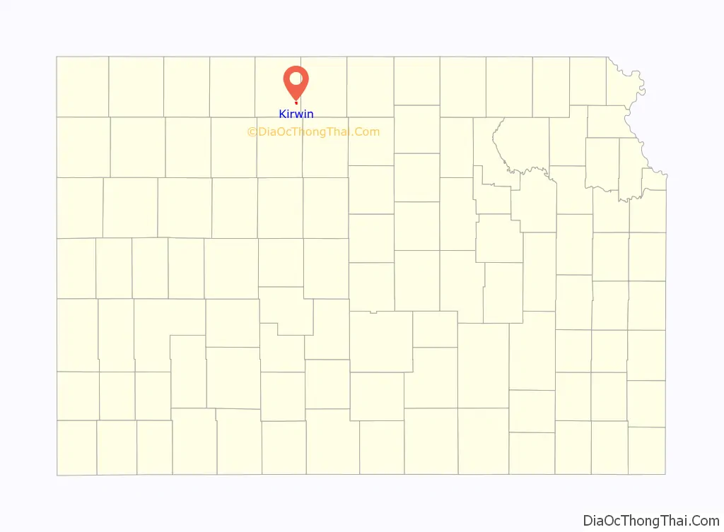
Kirwin location map. Where is Kirwin city?
History
Kirwin was founded in 1869. It was named for Col. John Kirwin, who commanded a stockade at the town site. Kirwin was incorporated as a city in 1880.
Kirwin was located on the Missouri Pacific Railroad.
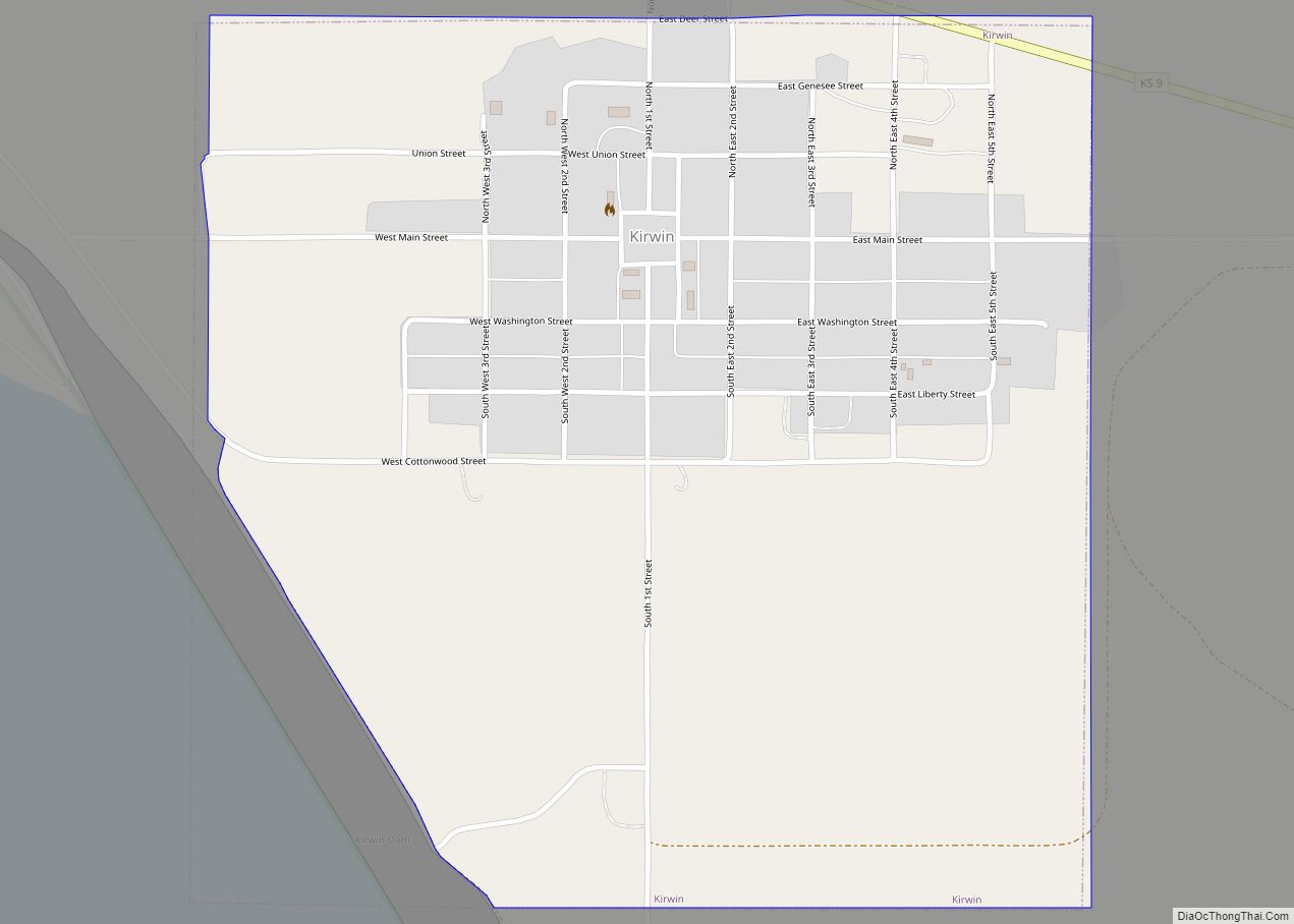
Kirwin Road Map
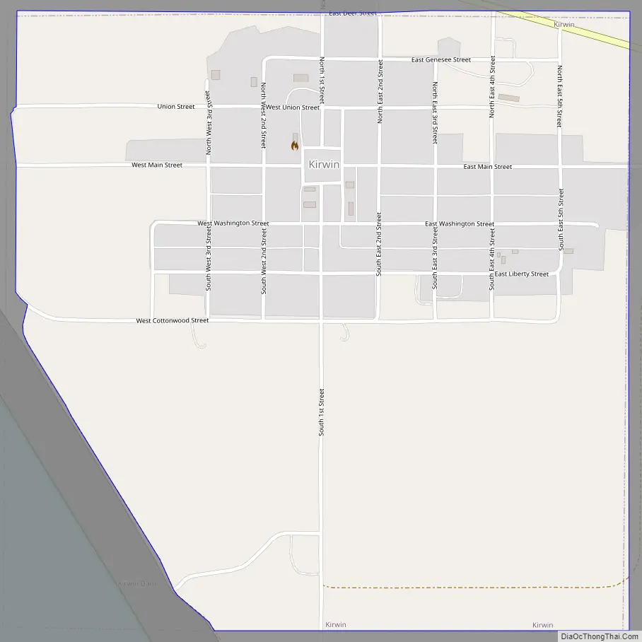
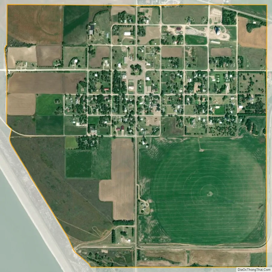
Kirwin city Satellite Map
Geography
Kirwin is located at 39°40′19″N 99°7′19″W / 39.67194°N 99.12194°W / 39.67194; -99.12194 (39.672052, −99.121931). According to the United States Census Bureau, the city has a total area of 0.99 square miles (2.56 km), of which 0.96 square miles (2.49 km) is land and 0.03 square miles (0.08 km) is water.
See also
Map of Kansas State and its subdivision:- Allen
- Anderson
- Atchison
- Barber
- Barton
- Bourbon
- Brown
- Butler
- Chase
- Chautauqua
- Cherokee
- Cheyenne
- Clark
- Clay
- Cloud
- Coffey
- Comanche
- Cowley
- Crawford
- Decatur
- Dickinson
- Doniphan
- Douglas
- Edwards
- Elk
- Ellis
- Ellsworth
- Finney
- Ford
- Franklin
- Geary
- Gove
- Graham
- Grant
- Gray
- Greeley
- Greenwood
- Hamilton
- Harper
- Harvey
- Haskell
- Hodgeman
- Jackson
- Jefferson
- Jewell
- Johnson
- Kearny
- Kingman
- Kiowa
- Labette
- Lane
- Leavenworth
- Lincoln
- Linn
- Logan
- Lyon
- Marion
- Marshall
- McPherson
- Meade
- Miami
- Mitchell
- Montgomery
- Morris
- Morton
- Nemaha
- Neosho
- Ness
- Norton
- Osage
- Osborne
- Ottawa
- Pawnee
- Phillips
- Pottawatomie
- Pratt
- Rawlins
- Reno
- Republic
- Rice
- Riley
- Rooks
- Rush
- Russell
- Saline
- Scott
- Sedgwick
- Seward
- Shawnee
- Sheridan
- Sherman
- Smith
- Stafford
- Stanton
- Stevens
- Sumner
- Thomas
- Trego
- Wabaunsee
- Wallace
- Washington
- Wichita
- Wilson
- Woodson
- Wyandotte
- Alabama
- Alaska
- Arizona
- Arkansas
- California
- Colorado
- Connecticut
- Delaware
- District of Columbia
- Florida
- Georgia
- Hawaii
- Idaho
- Illinois
- Indiana
- Iowa
- Kansas
- Kentucky
- Louisiana
- Maine
- Maryland
- Massachusetts
- Michigan
- Minnesota
- Mississippi
- Missouri
- Montana
- Nebraska
- Nevada
- New Hampshire
- New Jersey
- New Mexico
- New York
- North Carolina
- North Dakota
- Ohio
- Oklahoma
- Oregon
- Pennsylvania
- Rhode Island
- South Carolina
- South Dakota
- Tennessee
- Texas
- Utah
- Vermont
- Virginia
- Washington
- West Virginia
- Wisconsin
- Wyoming