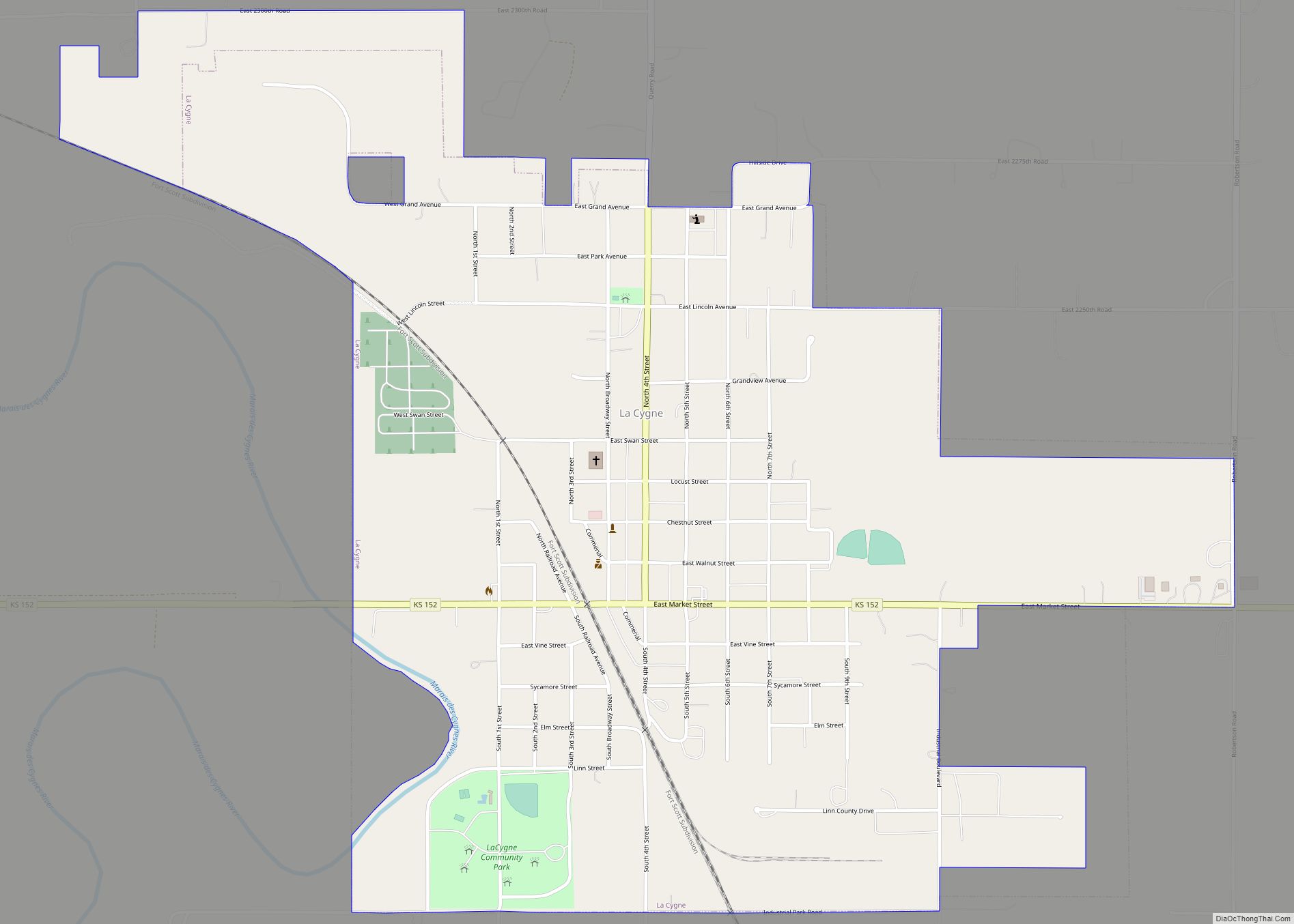
La Cygne (pronounced /leɪ ˈsiːn/ lay SEEN) is a city in Linn County, Kansas, United States, and situated along the Marais des Cygnes River. As of the 2020 census, the population of the city was 1,050. The city is named after the Marais des Cygnes River which is a French translation of an Osage appellation meaning “marsh of the swans”.
| Name: | La Cygne city |
|---|---|
| LSAD Code: | 25 |
| LSAD Description: | city (suffix) |
| State: | Kansas |
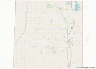
| County: | Linn County |
| Founded: | 1869 |
| Incorporated: | 1870 |
| Elevation: | 837 ft (255 m) |
| Total Area: | 1.55 sq mi (4.01 km²) |
| Land Area: | 1.53 sq mi (3.96 km²) |
| Water Area: | 0.02 sq mi (0.05 km²) |
| Total Population: | 1,050 |
| Population Density: | 680/sq mi (260/km²) |
| ZIP code: | 66040 |
| Area code: | 913 |
| FIPS code: | 2037575 |
| Website: | cityoflacygne.org |
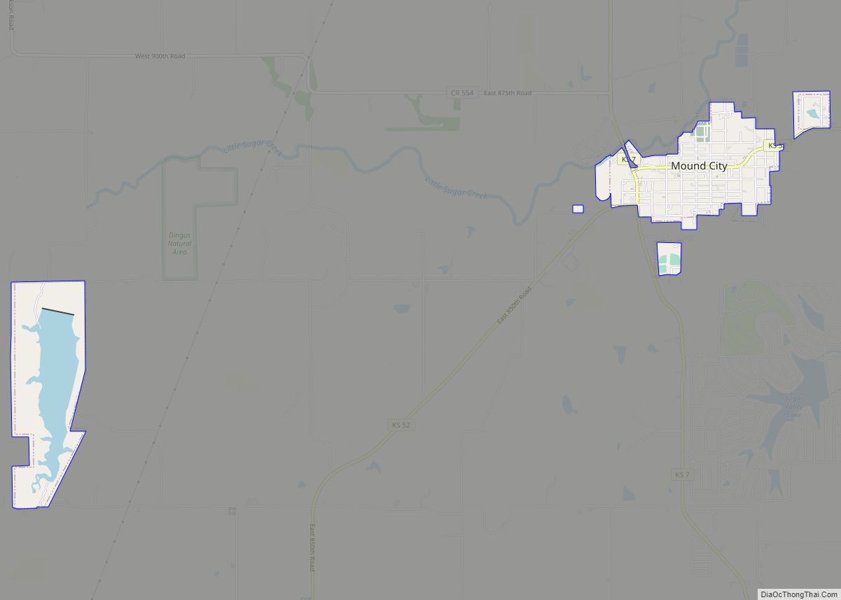
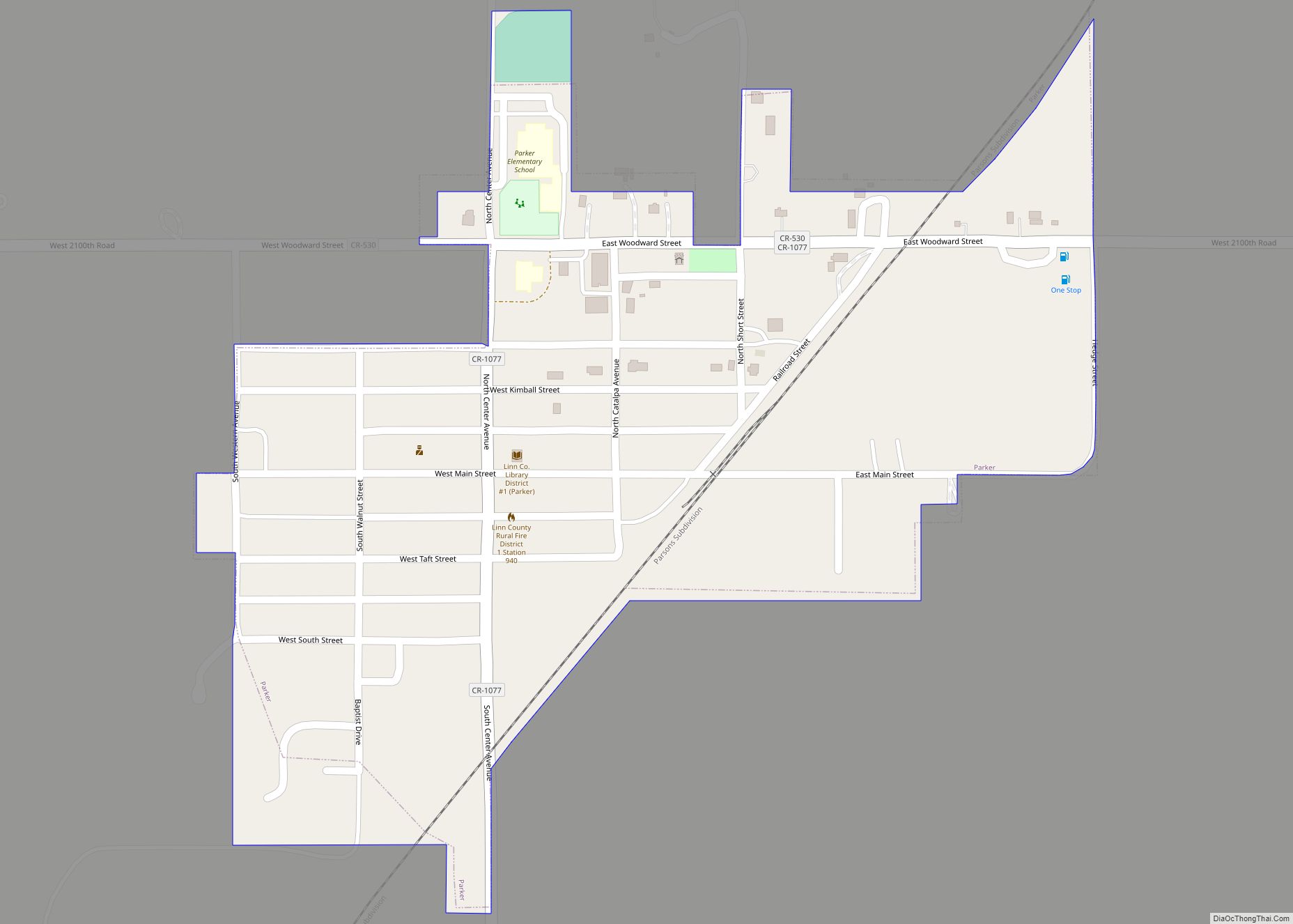
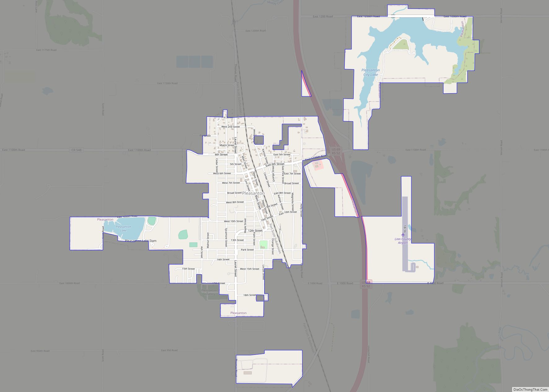
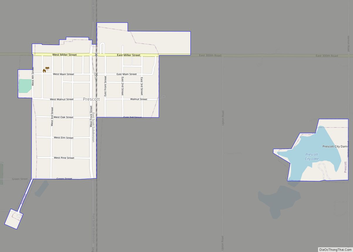
Online Interactive Map
Click on ![]() to view map in "full screen" mode.
to view map in "full screen" mode.
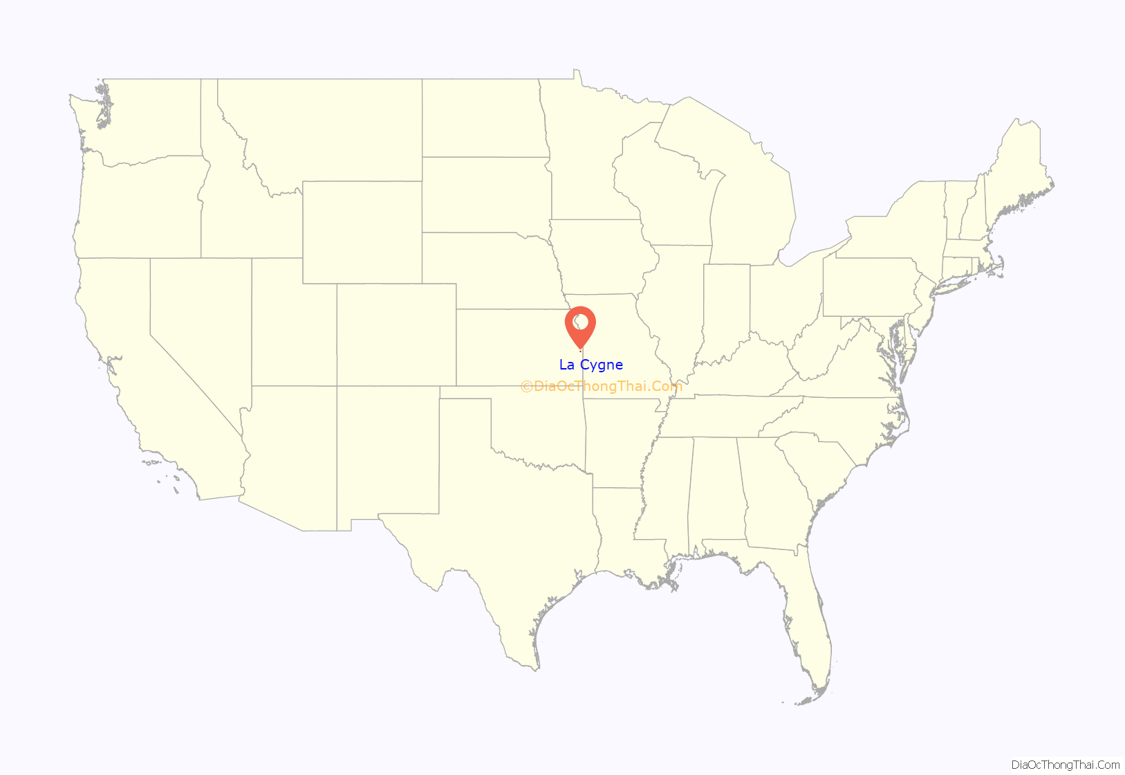
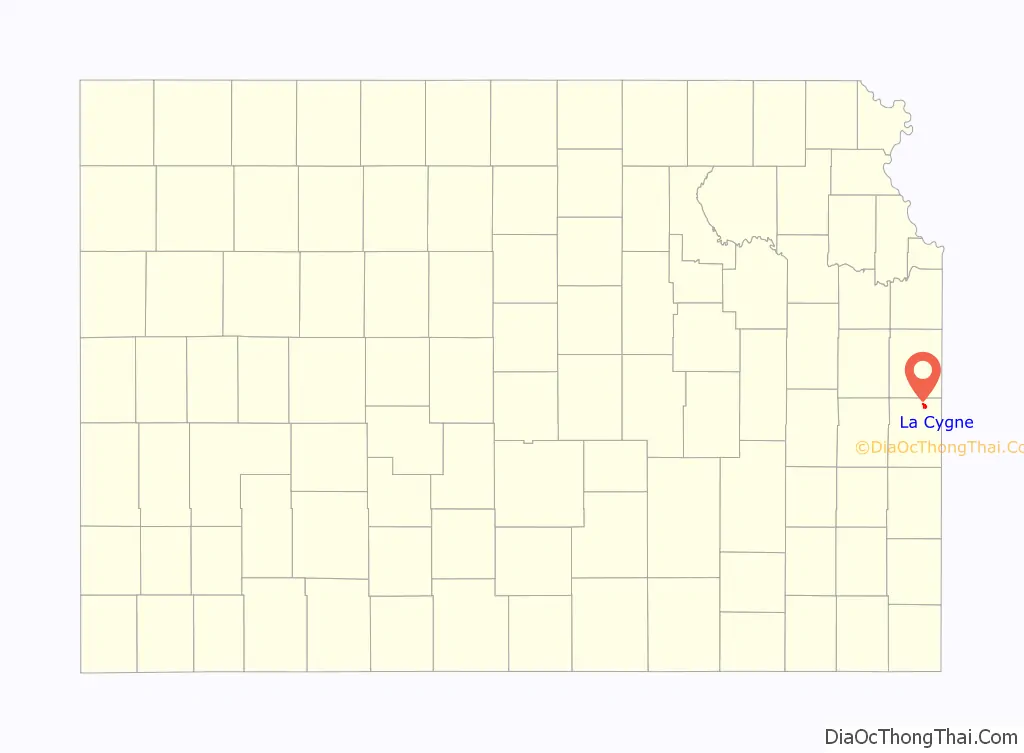
La Cygne location map. Where is La Cygne city?
History
La Cygne was founded in 1869 as soon as the people were assured of the building of a track for the Missouri River, Ft. Scott & Gulf Railroad. A town company was organized and purchased 1,400 acres (5.7 km) of land, but had only 140 acres (0.57 km) laid out as a town site. La Cygne was incorporated on January 14, 1870, and a board of trustees was appointed. In the fall of that year the town had grown so that it had inhabitants enough to organize as a city of the third class, and F. A. Foote was elected the first mayor. The first school was taught in 1869 in Cady’s hall. It was a private subscription school and was kept open until 1870, when the public school house was built. It was a commodious two-story brick building containing the graded and high schools. The Methodist church organized in 1870 and soon after built a house of worship. The Presbyterian church was organized the same year but had no building for a year afterward.
At an early date La Cygne became a manufacturing point. A flour mill was built in 1870; a bank was started in 1871; the La Cygne organ factory was another early commercial enterprise, but it did not flourish. In 1881 a coal mine was opened, after which it became an important point for the industry. The first newspaper in the town was the Weekly Journal, which first appeared in June 1870.
The suspicious death of Alonzo Brooks in 2004 was featured in the fourth episode “No Ride Home” of the fifteenth season of Unsolved Mysteries TV series in 2020.
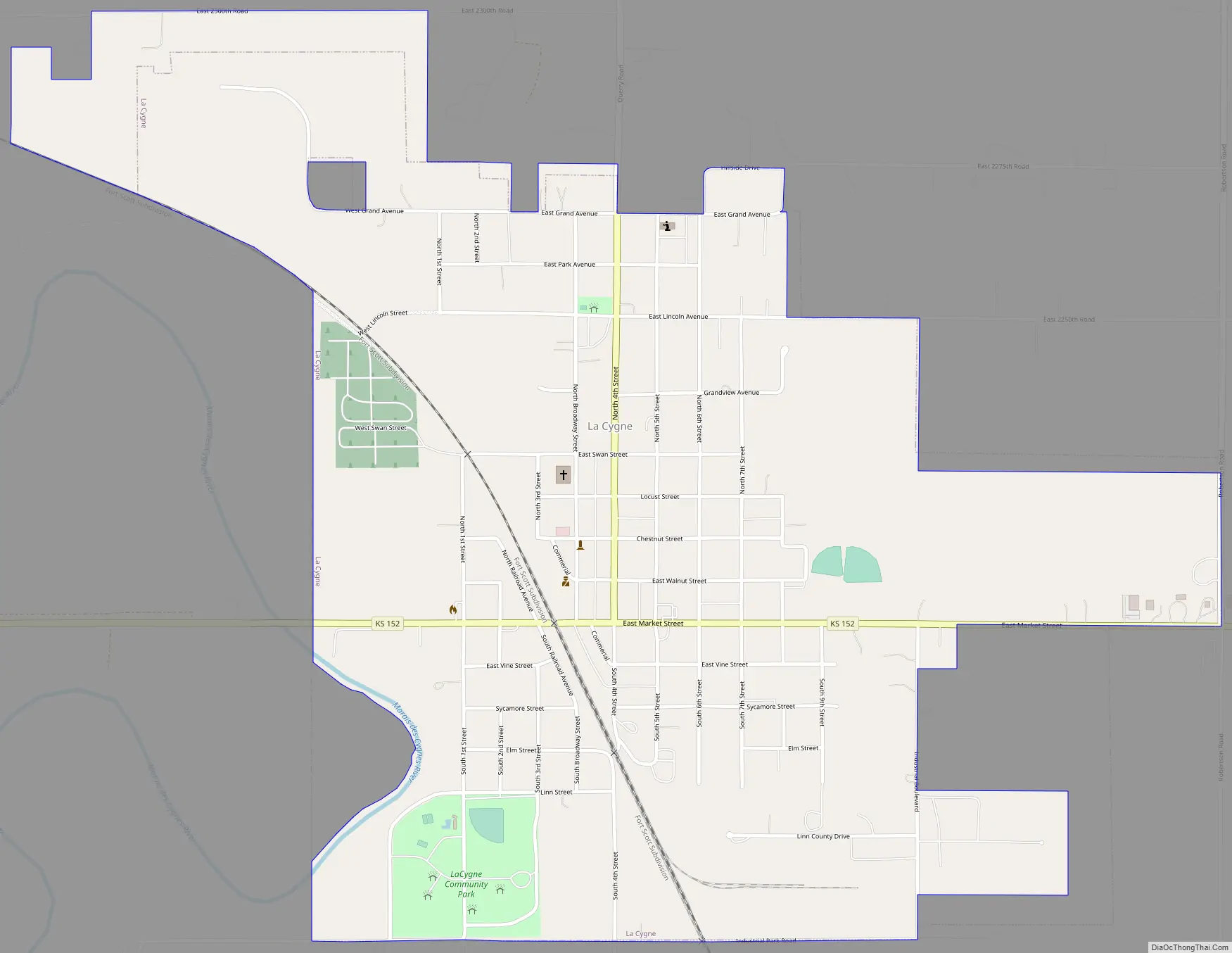
La Cygne Road Map
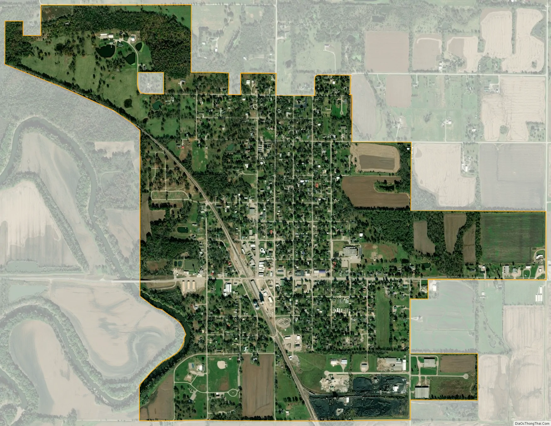
La Cygne city Satellite Map
Geography
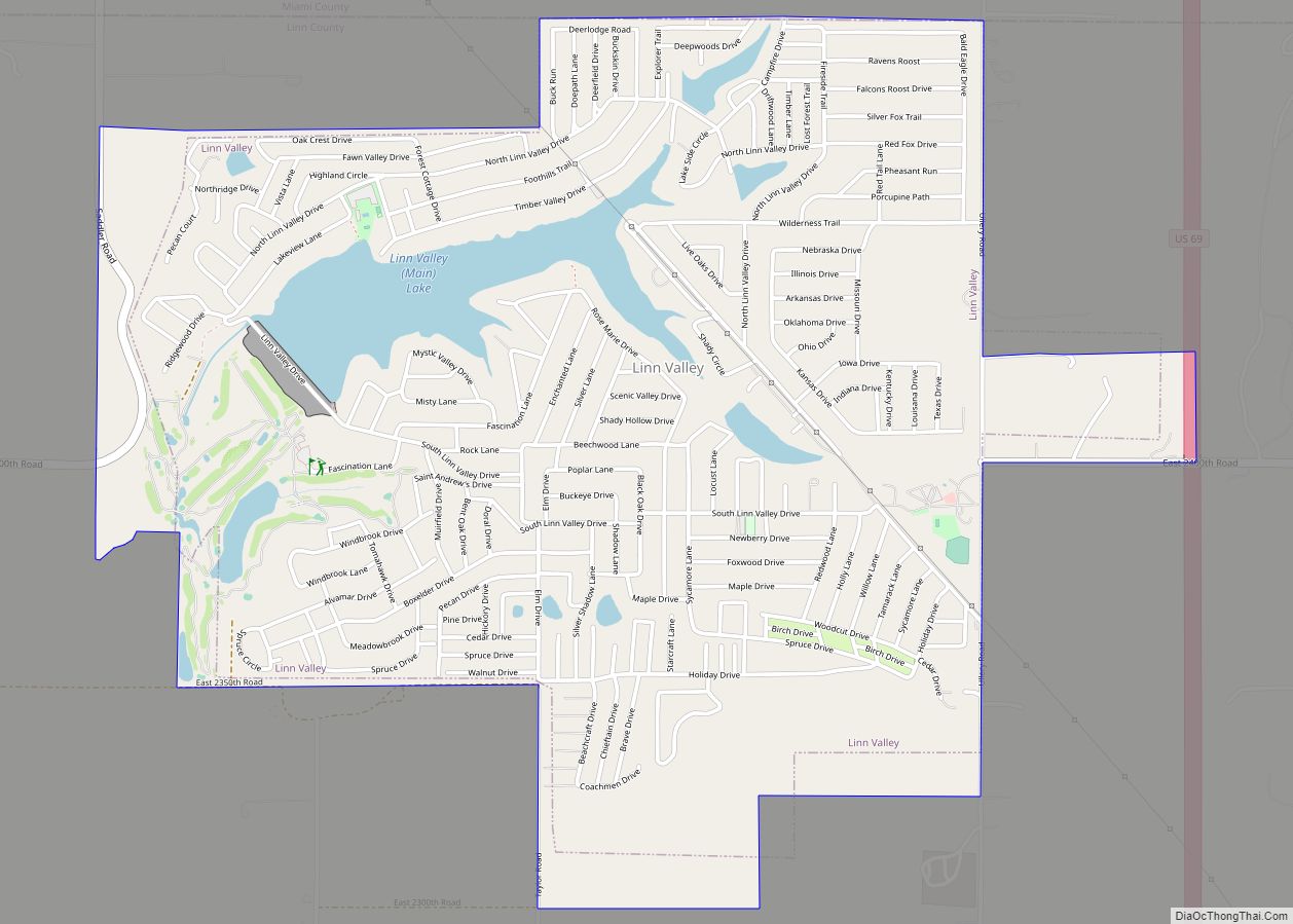
La Cygne is situated on the east bank of the Marais des Cygnes River and only a few miles southwest of the city of Linn Valley. It is four miles (6 km) west of U.S. Route 69 on K-152; La Cygne Lake is east of US-69. A track for BNSF Railway passes through the city. According to the United States Census Bureau, the city has a total area of 1.53 square miles (3.96 km), of which, 1.51 square miles (3.91 km) is land and 0.02 square miles (0.05 km) is water.
Climate
The climate in this area is characterized by hot, humid summers and generally mild to cool winters. According to the Köppen Climate Classification system, La Cygne has a humid subtropical climate, abbreviated “Cfa” on climate maps.
See also
Map of Kansas State and its subdivision:- Allen
- Anderson
- Atchison
- Barber
- Barton
- Bourbon
- Brown
- Butler
- Chase
- Chautauqua
- Cherokee
- Cheyenne
- Clark
- Clay
- Cloud
- Coffey
- Comanche
- Cowley
- Crawford
- Decatur
- Dickinson
- Doniphan
- Douglas
- Edwards
- Elk
- Ellis
- Ellsworth
- Finney
- Ford
- Franklin
- Geary
- Gove
- Graham
- Grant
- Gray
- Greeley
- Greenwood
- Hamilton
- Harper
- Harvey
- Haskell
- Hodgeman
- Jackson
- Jefferson
- Jewell
- Johnson
- Kearny
- Kingman
- Kiowa
- Labette
- Lane
- Leavenworth
- Lincoln
- Linn
- Logan
- Lyon
- Marion
- Marshall
- McPherson
- Meade
- Miami
- Mitchell
- Montgomery
- Morris
- Morton
- Nemaha
- Neosho
- Ness
- Norton
- Osage
- Osborne
- Ottawa
- Pawnee
- Phillips
- Pottawatomie
- Pratt
- Rawlins
- Reno
- Republic
- Rice
- Riley
- Rooks
- Rush
- Russell
- Saline
- Scott
- Sedgwick
- Seward
- Shawnee
- Sheridan
- Sherman
- Smith
- Stafford
- Stanton
- Stevens
- Sumner
- Thomas
- Trego
- Wabaunsee
- Wallace
- Washington
- Wichita
- Wilson
- Woodson
- Wyandotte
- Alabama
- Alaska
- Arizona
- Arkansas
- California
- Colorado
- Connecticut
- Delaware
- District of Columbia
- Florida
- Georgia
- Hawaii
- Idaho
- Illinois
- Indiana
- Iowa
- Kansas
- Kentucky
- Louisiana
- Maine
- Maryland
- Massachusetts
- Michigan
- Minnesota
- Mississippi
- Missouri
- Montana
- Nebraska
- Nevada
- New Hampshire
- New Jersey
- New Mexico
- New York
- North Carolina
- North Dakota
- Ohio
- Oklahoma
- Oregon
- Pennsylvania
- Rhode Island
- South Carolina
- South Dakota
- Tennessee
- Texas
- Utah
- Vermont
- Virginia
- Washington
- West Virginia
- Wisconsin
- Wyoming