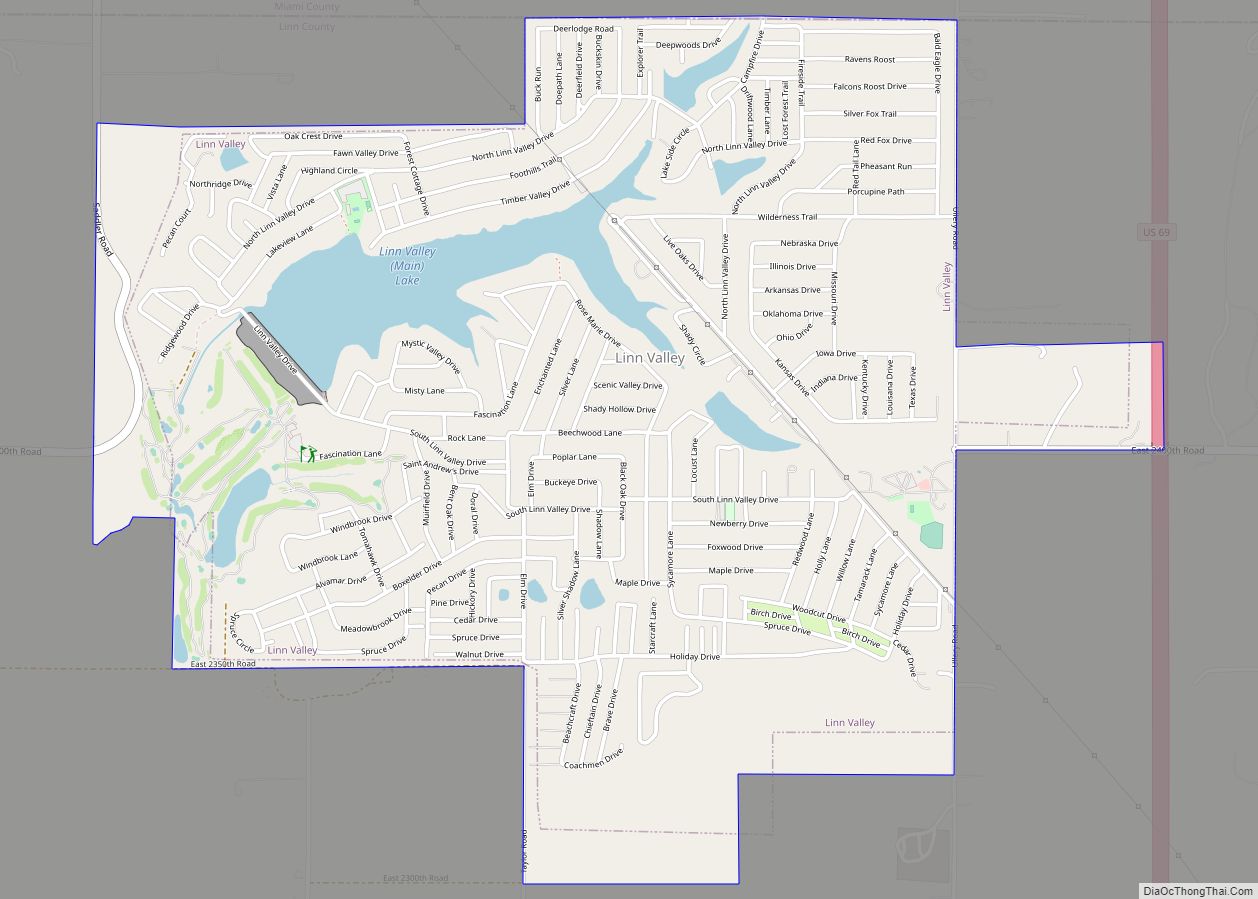
Linn Valley is a city in Linn County, Kansas, United States. As of the 2020 census, the population of the city was 956.
| Name: | Linn Valley city |
|---|---|
| LSAD Code: | 25 |
| LSAD Description: | city (suffix) |
| State: | Kansas |
| County: | Linn County |
| Founded: | 1970s |
| Incorporated: | 1998 |
| Elevation: | 899 ft (274 m) |
| Total Area: | 3.21 sq mi (8.32 km²) |
| Land Area: | 2.96 sq mi (7.66 km²) |
| Water Area: | 0.25 sq mi (0.65 km²) |
| Total Population: | 956 |
| Population Density: | 300/sq mi (110/km²) |
| ZIP code: | 66040 |
| Area code: | 913 |
| FIPS code: | 2041465 |
| Website: | cityoflinnvalley.com |
Online Interactive Map
Click on ![]() to view map in "full screen" mode.
to view map in "full screen" mode.
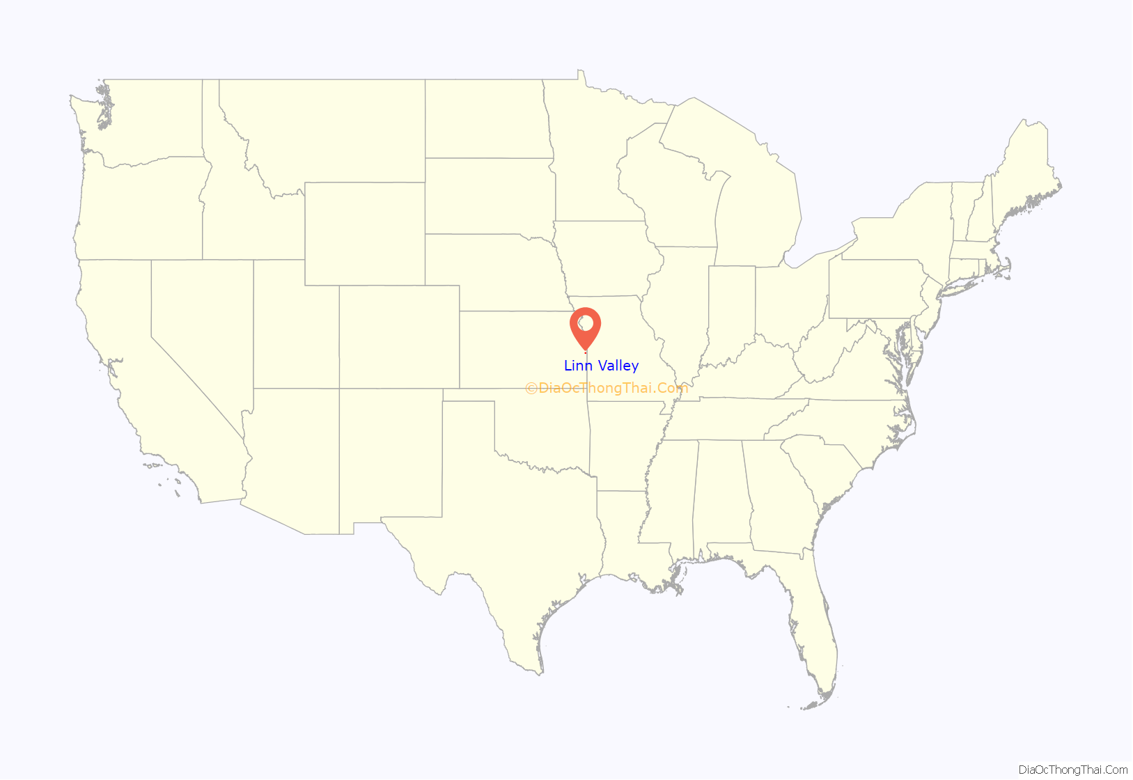
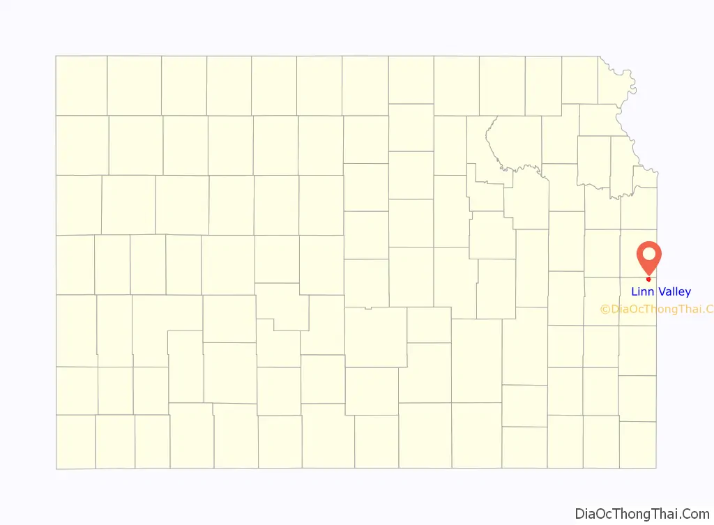
Linn Valley location map. Where is Linn Valley city?
History
Linn Valley had its start in the 1970s as a planned community centered around a lake. It was incorporated as a city in 1998.
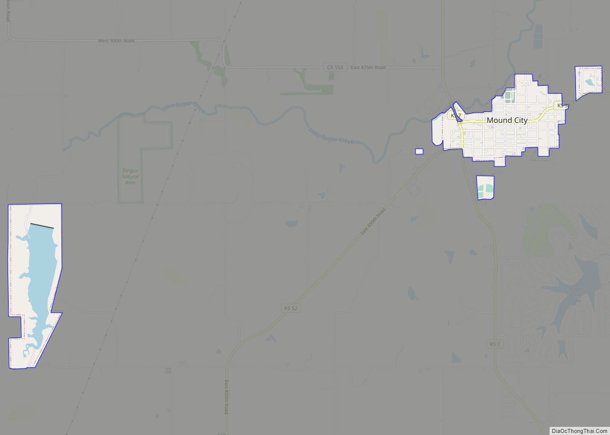
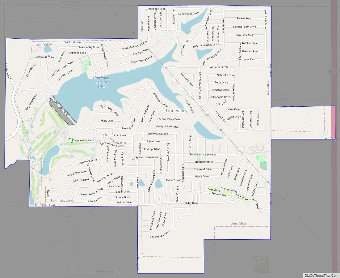
Linn Valley Road Map
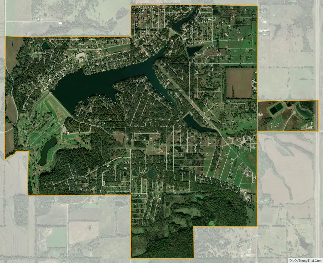
Linn Valley city Satellite Map
Geography
According to the United States Census Bureau, the city has a total area of 2.97 square miles (7.69 km), of which, 2.72 square miles (7.04 km) is land and 0.25 square miles (0.65 km) is water. All but about 200 acres (0.81 km) of the City is within the private closed community of Linn Valley Lakes.
See also
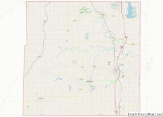
Map of Kansas State and its subdivision:- Allen
- Anderson
- Atchison
- Barber
- Barton
- Bourbon
- Brown
- Butler
- Chase
- Chautauqua
- Cherokee
- Cheyenne
- Clark
- Clay
- Cloud
- Coffey
- Comanche
- Cowley
- Crawford
- Decatur
- Dickinson
- Doniphan
- Douglas
- Edwards
- Elk
- Ellis
- Ellsworth
- Finney
- Ford
- Franklin
- Geary
- Gove
- Graham
- Grant
- Gray
- Greeley
- Greenwood
- Hamilton
- Harper
- Harvey
- Haskell
- Hodgeman
- Jackson
- Jefferson
- Jewell
- Johnson
- Kearny
- Kingman
- Kiowa
- Labette
- Lane
- Leavenworth
- Lincoln
- Linn
- Logan
- Lyon
- Marion
- Marshall
- McPherson
- Meade
- Miami
- Mitchell
- Montgomery
- Morris
- Morton
- Nemaha
- Neosho
- Ness
- Norton
- Osage
- Osborne
- Ottawa
- Pawnee
- Phillips
- Pottawatomie
- Pratt
- Rawlins
- Reno
- Republic
- Rice
- Riley
- Rooks
- Rush
- Russell
- Saline
- Scott
- Sedgwick
- Seward
- Shawnee
- Sheridan
- Sherman
- Smith
- Stafford
- Stanton
- Stevens
- Sumner
- Thomas
- Trego
- Wabaunsee
- Wallace
- Washington
- Wichita
- Wilson
- Woodson
- Wyandotte
- Alabama
- Alaska
- Arizona
- Arkansas
- California
- Colorado
- Connecticut
- Delaware
- District of Columbia
- Florida
- Georgia
- Hawaii
- Idaho
- Illinois
- Indiana
- Iowa
- Kansas
- Kentucky
- Louisiana
- Maine
- Maryland
- Massachusetts
- Michigan
- Minnesota
- Mississippi
- Missouri
- Montana
- Nebraska
- Nevada
- New Hampshire
- New Jersey
- New Mexico
- New York
- North Carolina
- North Dakota
- Ohio
- Oklahoma
- Oregon
- Pennsylvania
- Rhode Island
- South Carolina
- South Dakota
- Tennessee
- Texas
- Utah
- Vermont
- Virginia
- Washington
- West Virginia
- Wisconsin
- Wyoming