Neosho Rapids is a city in Lyon County, Kansas, United States. As of the 2020 census, the population of the city was 229.
| Name: | Neosho Rapids city |
|---|---|
| LSAD Code: | 25 |
| LSAD Description: | city (suffix) |
| State: | Kansas |
| County: | Lyon County |
| Incorporated: | 1923 |
| Elevation: | 1,093 ft (333 m) |
| Total Area: | 0.51 sq mi (1.32 km²) |
| Land Area: | 0.51 sq mi (1.31 km²) |
| Water Area: | 0.01 sq mi (0.02 km²) |
| Total Population: | 229 |
| Population Density: | 450/sq mi (170/km²) |
| ZIP code: | 66864 |
| Area code: | 620 |
| FIPS code: | 2049875 |
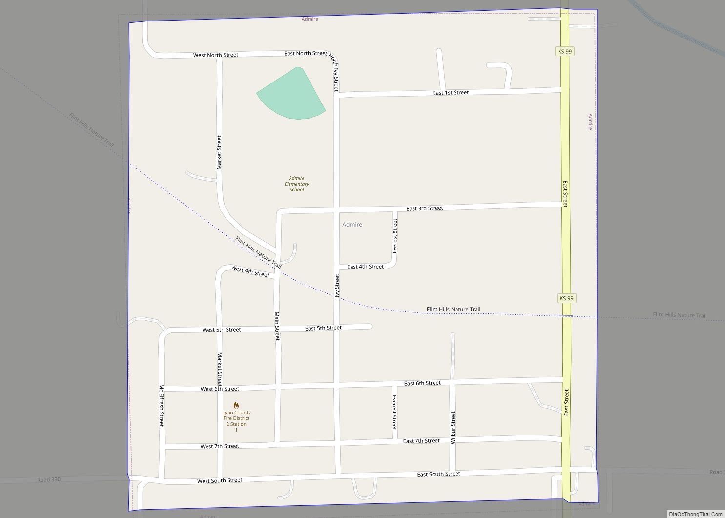
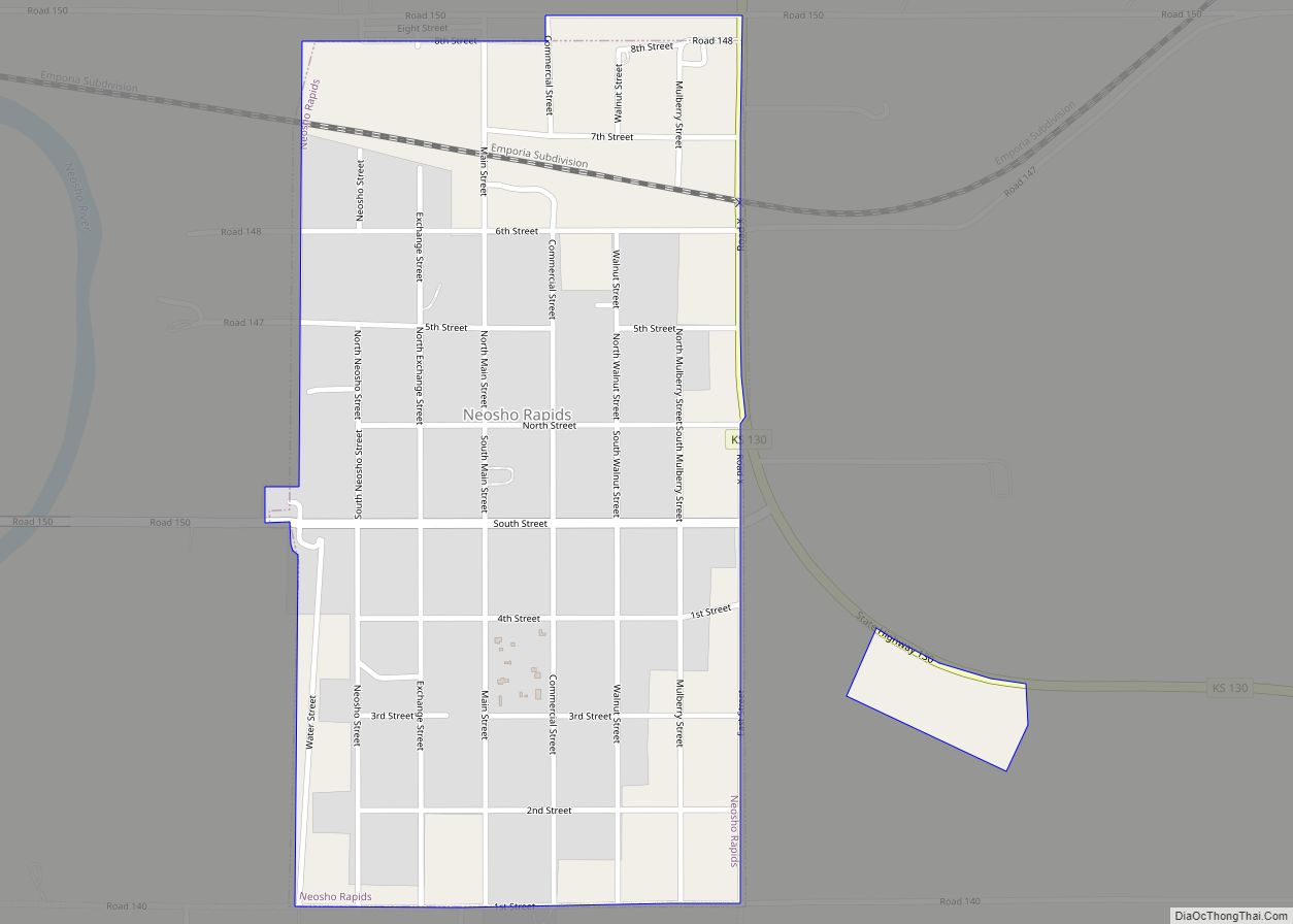
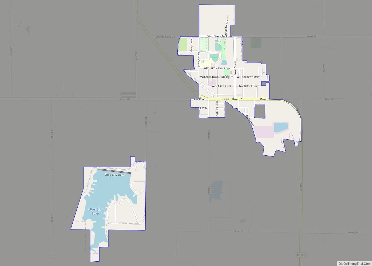
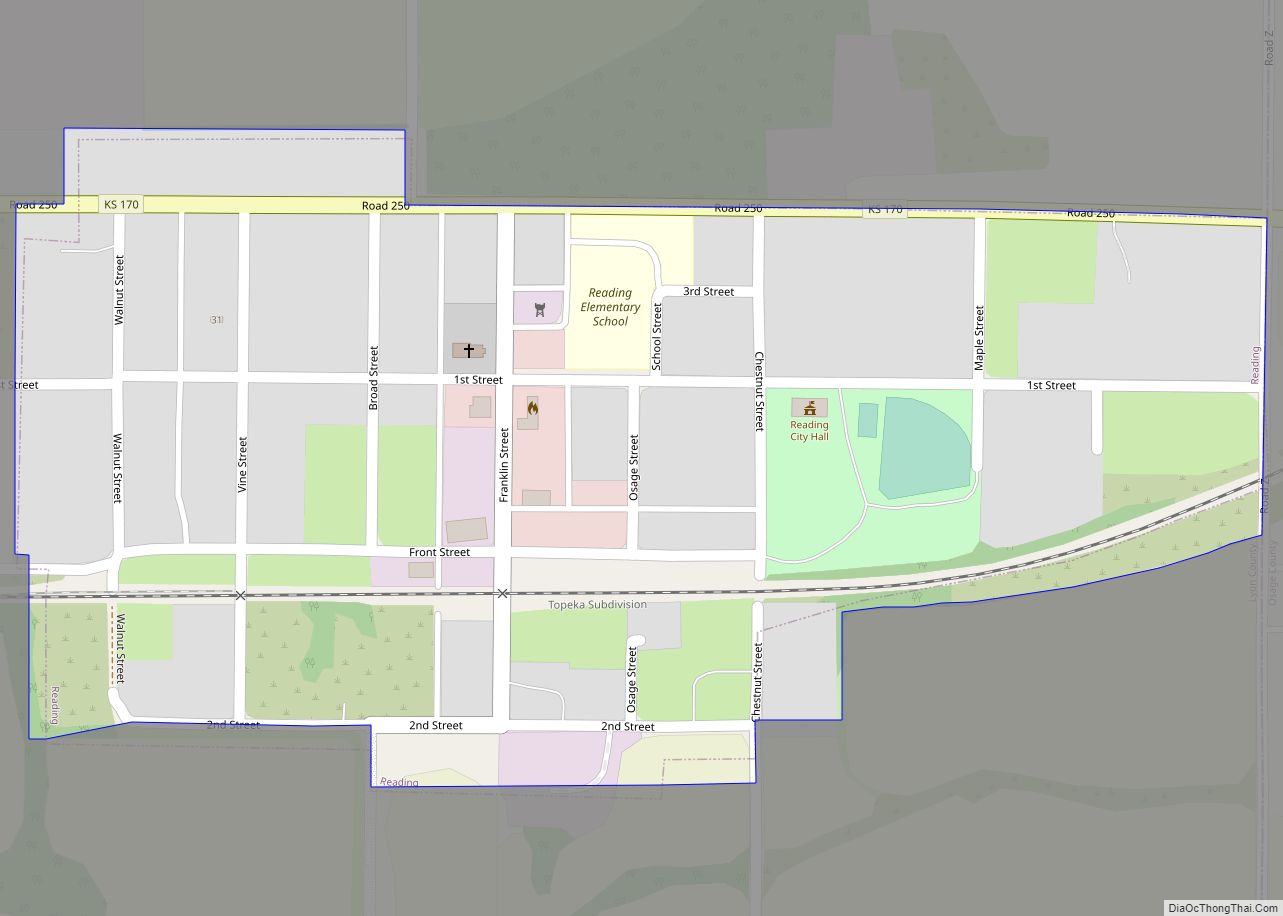
Online Interactive Map
Click on ![]() to view map in "full screen" mode.
to view map in "full screen" mode.
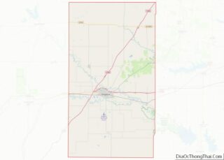
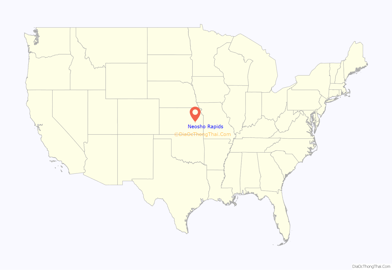
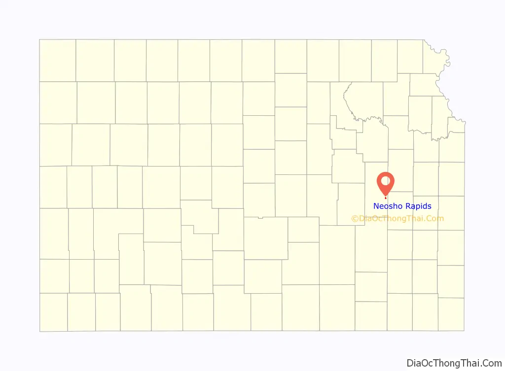
Neosho Rapids location map. Where is Neosho Rapids city?
History
Neosho Rapids was previously called Italia then Florence, and was laid out in 1855. It was named Neosho Rapids in 1857 from the whitewater on the Neosho River.
LIFE magazine did a 5-page feature article in the December 24, 1945, issue of servicemen coming home to the town for their first Christmas after WWII.
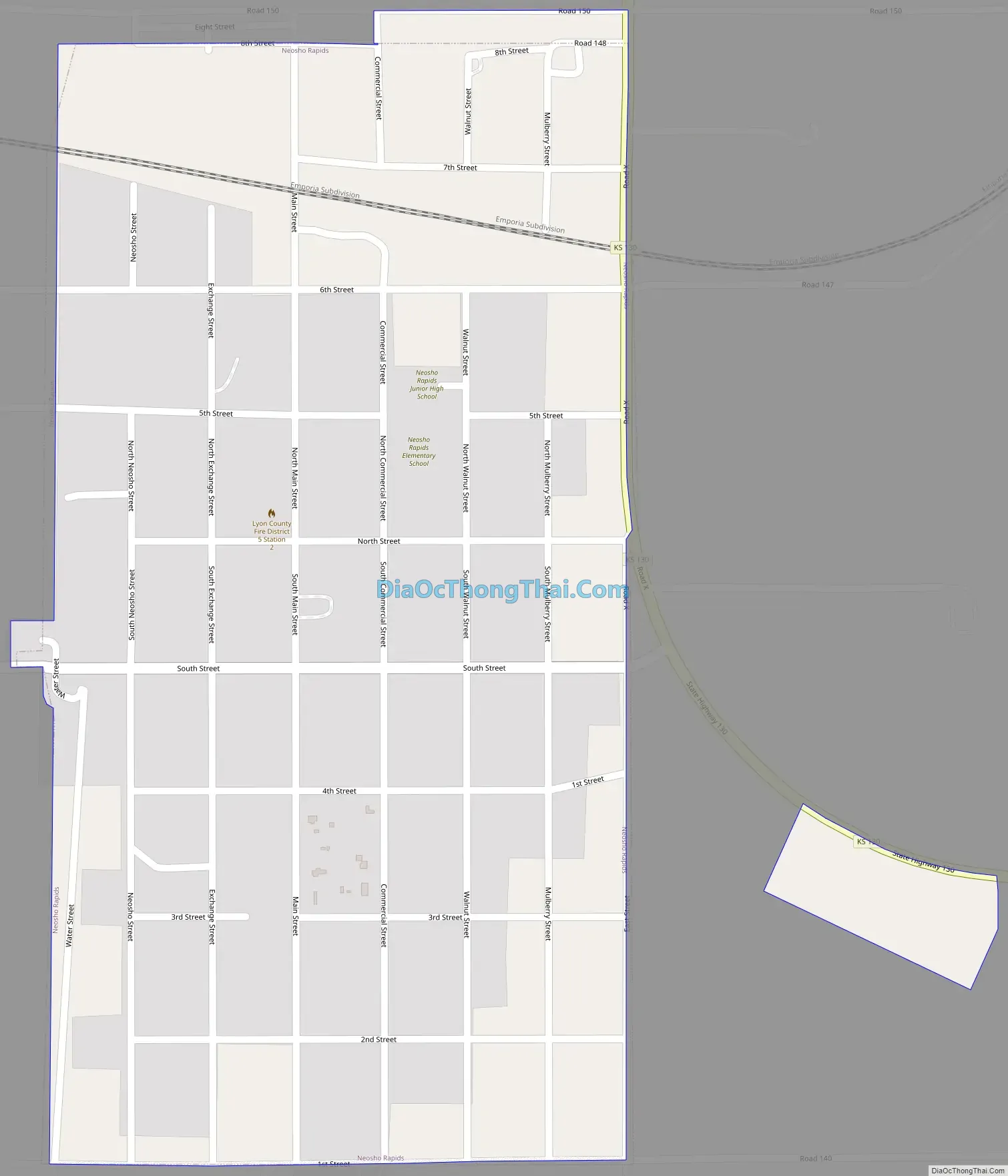
Neosho Rapids Road Map
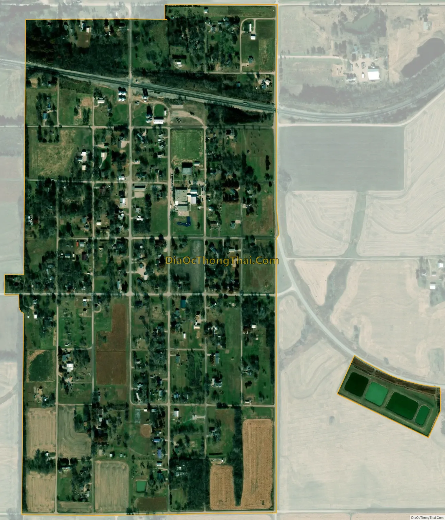
Neosho Rapids city Satellite Map
Geography
Neosho Rapids is located at 38°22′7″N 95°59′31″W / 38.36861°N 95.99194°W / 38.36861; -95.99194 (38.368716, -95.991901). According to the United States Census Bureau, the city has a total area of 0.51 square miles (1.32 km), of which 0.50 square miles (1.29 km) is land and 0.01 square miles (0.03 km) is water.
Climate
The climate in this area is characterized by hot, humid summers and generally mild to cool winters. According to the Köppen Climate Classification system, Neosho Rapids has a humid subtropical climate, abbreviated “Cfa” on climate maps.
See also
Map of Kansas State and its subdivision:- Allen
- Anderson
- Atchison
- Barber
- Barton
- Bourbon
- Brown
- Butler
- Chase
- Chautauqua
- Cherokee
- Cheyenne
- Clark
- Clay
- Cloud
- Coffey
- Comanche
- Cowley
- Crawford
- Decatur
- Dickinson
- Doniphan
- Douglas
- Edwards
- Elk
- Ellis
- Ellsworth
- Finney
- Ford
- Franklin
- Geary
- Gove
- Graham
- Grant
- Gray
- Greeley
- Greenwood
- Hamilton
- Harper
- Harvey
- Haskell
- Hodgeman
- Jackson
- Jefferson
- Jewell
- Johnson
- Kearny
- Kingman
- Kiowa
- Labette
- Lane
- Leavenworth
- Lincoln
- Linn
- Logan
- Lyon
- Marion
- Marshall
- McPherson
- Meade
- Miami
- Mitchell
- Montgomery
- Morris
- Morton
- Nemaha
- Neosho
- Ness
- Norton
- Osage
- Osborne
- Ottawa
- Pawnee
- Phillips
- Pottawatomie
- Pratt
- Rawlins
- Reno
- Republic
- Rice
- Riley
- Rooks
- Rush
- Russell
- Saline
- Scott
- Sedgwick
- Seward
- Shawnee
- Sheridan
- Sherman
- Smith
- Stafford
- Stanton
- Stevens
- Sumner
- Thomas
- Trego
- Wabaunsee
- Wallace
- Washington
- Wichita
- Wilson
- Woodson
- Wyandotte
- Alabama
- Alaska
- Arizona
- Arkansas
- California
- Colorado
- Connecticut
- Delaware
- District of Columbia
- Florida
- Georgia
- Hawaii
- Idaho
- Illinois
- Indiana
- Iowa
- Kansas
- Kentucky
- Louisiana
- Maine
- Maryland
- Massachusetts
- Michigan
- Minnesota
- Mississippi
- Missouri
- Montana
- Nebraska
- Nevada
- New Hampshire
- New Jersey
- New Mexico
- New York
- North Carolina
- North Dakota
- Ohio
- Oklahoma
- Oregon
- Pennsylvania
- Rhode Island
- South Carolina
- South Dakota
- Tennessee
- Texas
- Utah
- Vermont
- Virginia
- Washington
- West Virginia
- Wisconsin
- Wyoming