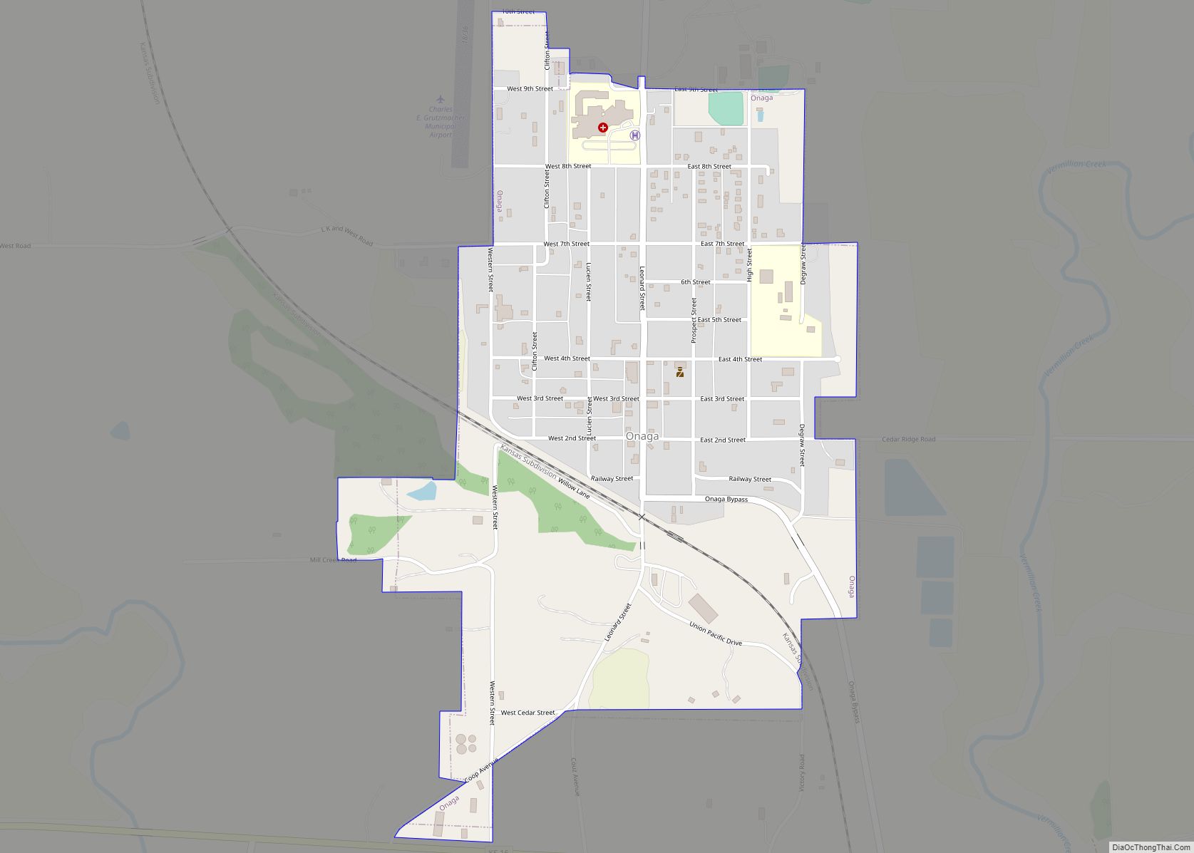
Onaga is a city in Pottawatomie County, Kansas, United States. As of the 2020 census, the population of the city was 679.
| Name: | Onaga city |
|---|---|
| LSAD Code: | 25 |
| LSAD Description: | city (suffix) |
| State: | Kansas |
| County: | Pottawatomie County |
| Incorporated: | by 1881, 1926 |
| Elevation: | 1,099 ft (335 m) |
| Total Area: | 0.66 sq mi (1.70 km²) |
| Land Area: | 0.66 sq mi (1.70 km²) |
| Water Area: | 0.00 sq mi (0.00 km²) |
| Total Population: | 679 |
| Population Density: | 1,000/sq mi (400/km²) |
| ZIP code: | 66521 |
| Area code: | 785 |
| FIPS code: | 2052875 |
| Website: | cityofonaga.com |
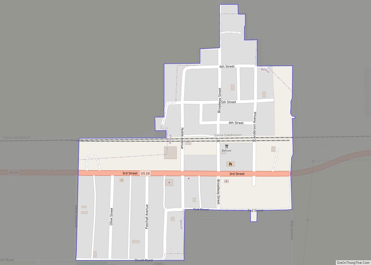
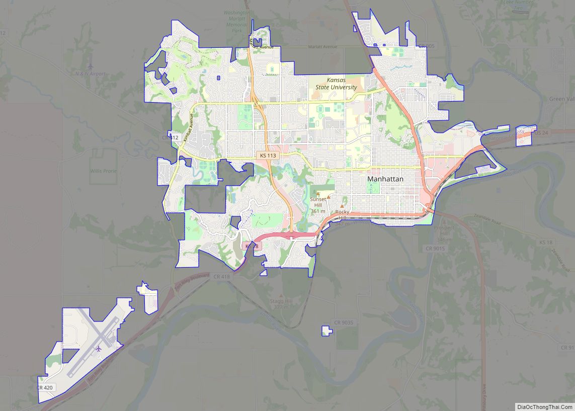
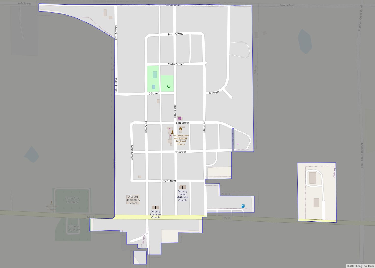
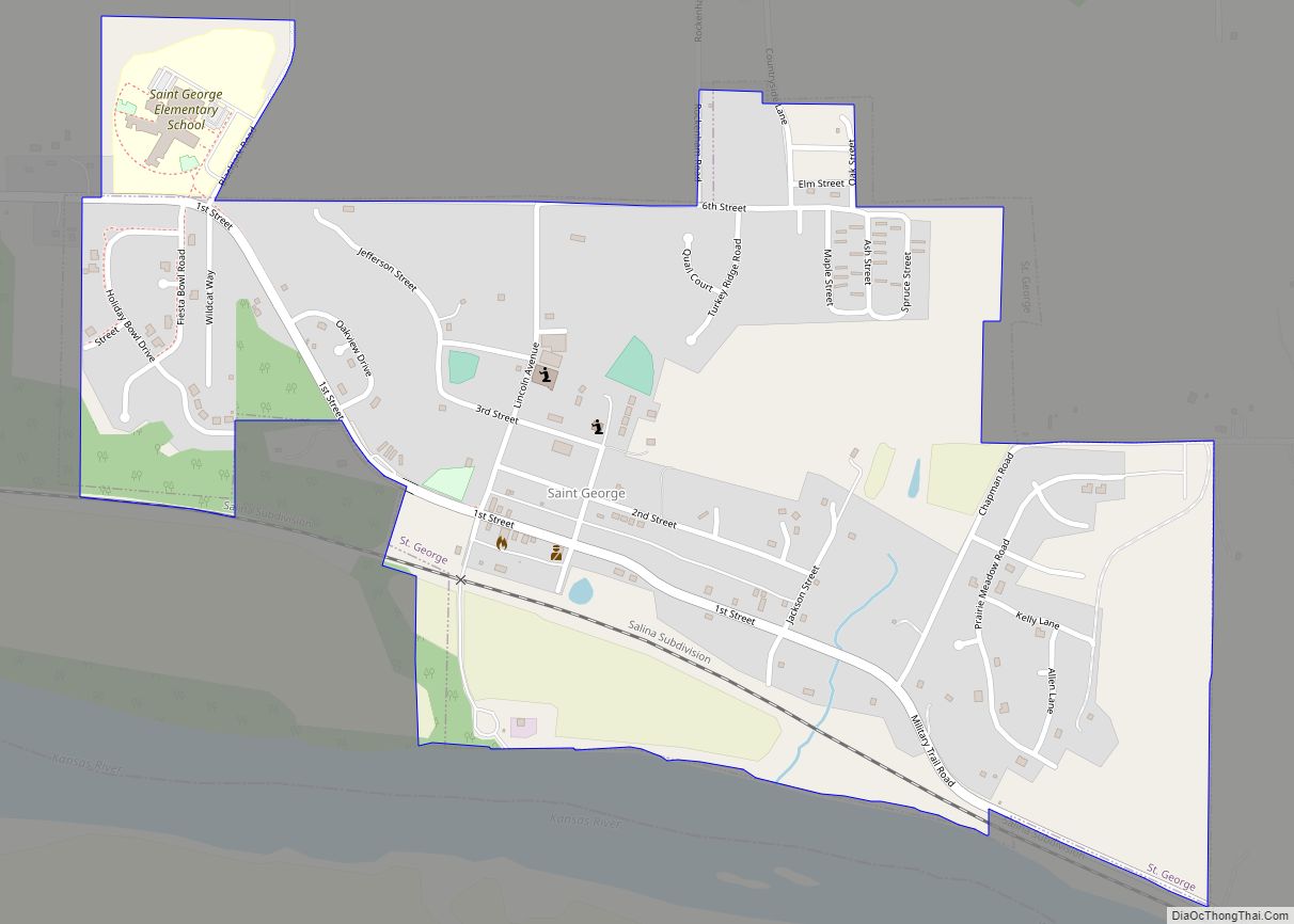
Online Interactive Map
Click on ![]() to view map in "full screen" mode.
to view map in "full screen" mode.
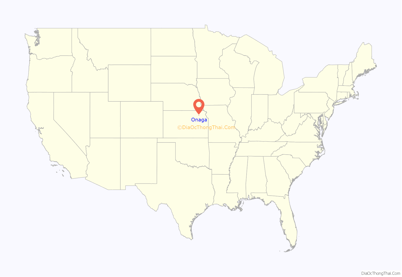
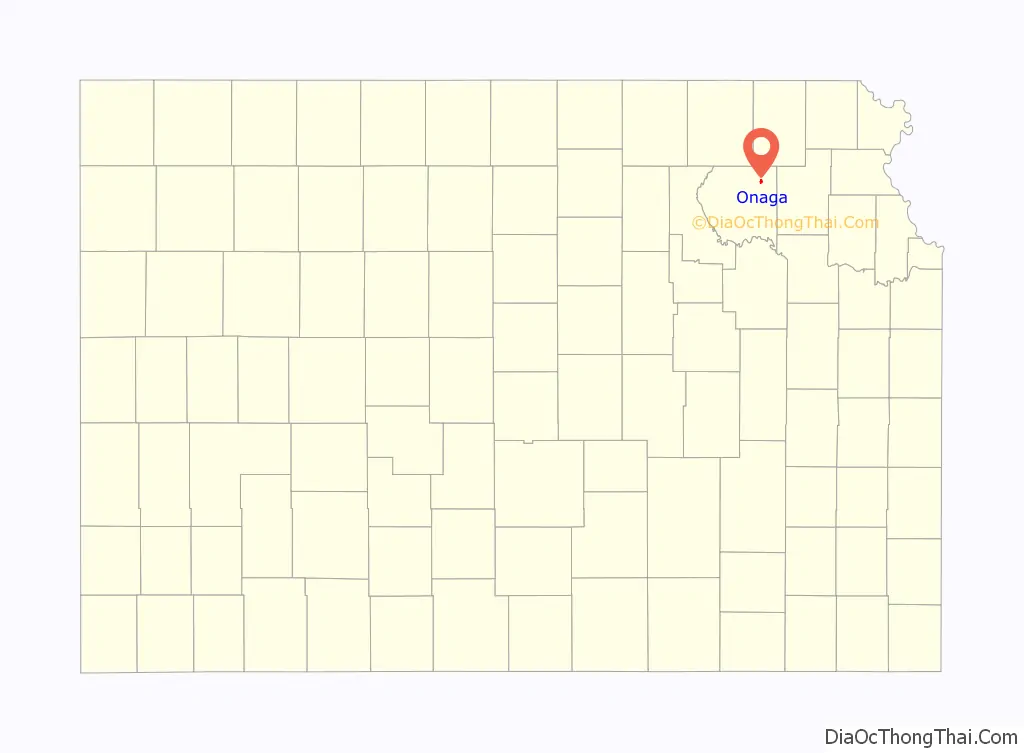
Onaga location map. Where is Onaga city?
History
Onaga was platted in 1877 by the railroad. Onaga is derived from a Potawatomi personal Indian name (Onago) and was given by Paul E. Havens, President of the Kansas Central Railroad.
The first post office in Onaga was established in December 1877. Onaga originally incorporated as a city by 1881 and reincorporated in 1926.
Onaga Road Map
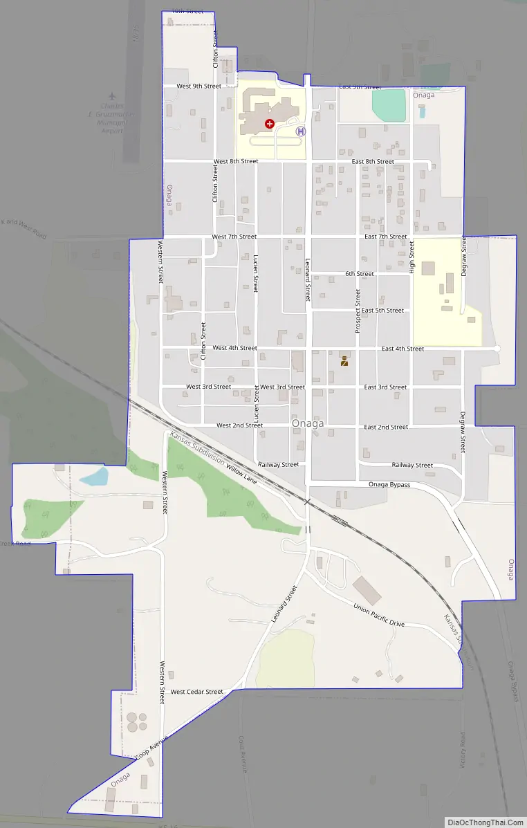
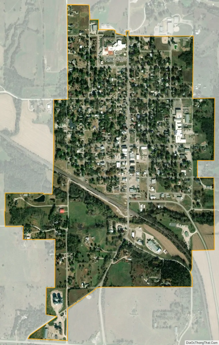
Onaga city Satellite Map
Geography
Onaga is located at 39°29′22″N 96°10′8″W / 39.48944°N 96.16889°W / 39.48944; -96.16889 (39.489415, -96.168993). According to the United States Census Bureau, the city has a total area of 0.64 square miles (1.66 km), all of it land.
Climate
This climatic region is typified by large seasonal temperature differences, with warm to hot (and often humid) summers and cold (sometimes severely cold) winters. According to the Köppen Climate Classification system, Onaga has a humid continental climate, abbreviated “Dfa” on climate maps.
See also
Map of Kansas State and its subdivision:- Allen
- Anderson
- Atchison
- Barber
- Barton
- Bourbon
- Brown
- Butler
- Chase
- Chautauqua
- Cherokee
- Cheyenne
- Clark
- Clay
- Cloud
- Coffey
- Comanche
- Cowley
- Crawford
- Decatur
- Dickinson
- Doniphan
- Douglas
- Edwards
- Elk
- Ellis
- Ellsworth
- Finney
- Ford
- Franklin
- Geary
- Gove
- Graham
- Grant
- Gray
- Greeley
- Greenwood
- Hamilton
- Harper
- Harvey
- Haskell
- Hodgeman
- Jackson
- Jefferson
- Jewell
- Johnson
- Kearny
- Kingman
- Kiowa
- Labette
- Lane
- Leavenworth
- Lincoln
- Linn
- Logan
- Lyon
- Marion
- Marshall
- McPherson
- Meade
- Miami
- Mitchell
- Montgomery
- Morris
- Morton
- Nemaha
- Neosho
- Ness
- Norton
- Osage
- Osborne
- Ottawa
- Pawnee
- Phillips
- Pottawatomie
- Pratt
- Rawlins
- Reno
- Republic
- Rice
- Riley
- Rooks
- Rush
- Russell
- Saline
- Scott
- Sedgwick
- Seward
- Shawnee
- Sheridan
- Sherman
- Smith
- Stafford
- Stanton
- Stevens
- Sumner
- Thomas
- Trego
- Wabaunsee
- Wallace
- Washington
- Wichita
- Wilson
- Woodson
- Wyandotte
- Alabama
- Alaska
- Arizona
- Arkansas
- California
- Colorado
- Connecticut
- Delaware
- District of Columbia
- Florida
- Georgia
- Hawaii
- Idaho
- Illinois
- Indiana
- Iowa
- Kansas
- Kentucky
- Louisiana
- Maine
- Maryland
- Massachusetts
- Michigan
- Minnesota
- Mississippi
- Missouri
- Montana
- Nebraska
- Nevada
- New Hampshire
- New Jersey
- New Mexico
- New York
- North Carolina
- North Dakota
- Ohio
- Oklahoma
- Oregon
- Pennsylvania
- Rhode Island
- South Carolina
- South Dakota
- Tennessee
- Texas
- Utah
- Vermont
- Virginia
- Washington
- West Virginia
- Wisconsin
- Wyoming