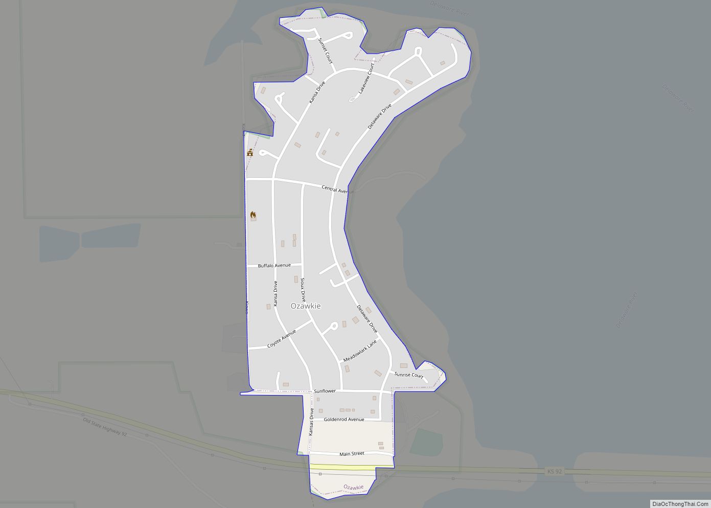
Ozawkie is a city in Jefferson County, Kansas, United States. As of the 2020 census, the population of the city was 638. Located adjacent to Perry Lake, Ozawkie formerly existed in a different location but was relocated without the aid of government funding prior to the reservoir’s construction.
| Name: | Ozawkie city |
|---|---|
| LSAD Code: | 25 |
| LSAD Description: | city (suffix) |
| State: | Kansas |
| County: | Jefferson County |
| Incorporated: | 1967 |
| Elevation: | 997 ft (304 m) |
| Total Area: | 0.30 sq mi (0.77 km²) |
| Land Area: | 0.30 sq mi (0.77 km²) |
| Water Area: | 0.00 sq mi (0.00 km²) |
| Total Population: | 638 |
| Population Density: | 2,100/sq mi (830/km²) |
| ZIP code: | 66070 |
| Area code: | 785 |
| FIPS code: | 2053925 |
| Website: | ozawkie.org |
Online Interactive Map
Click on ![]() to view map in "full screen" mode.
to view map in "full screen" mode.
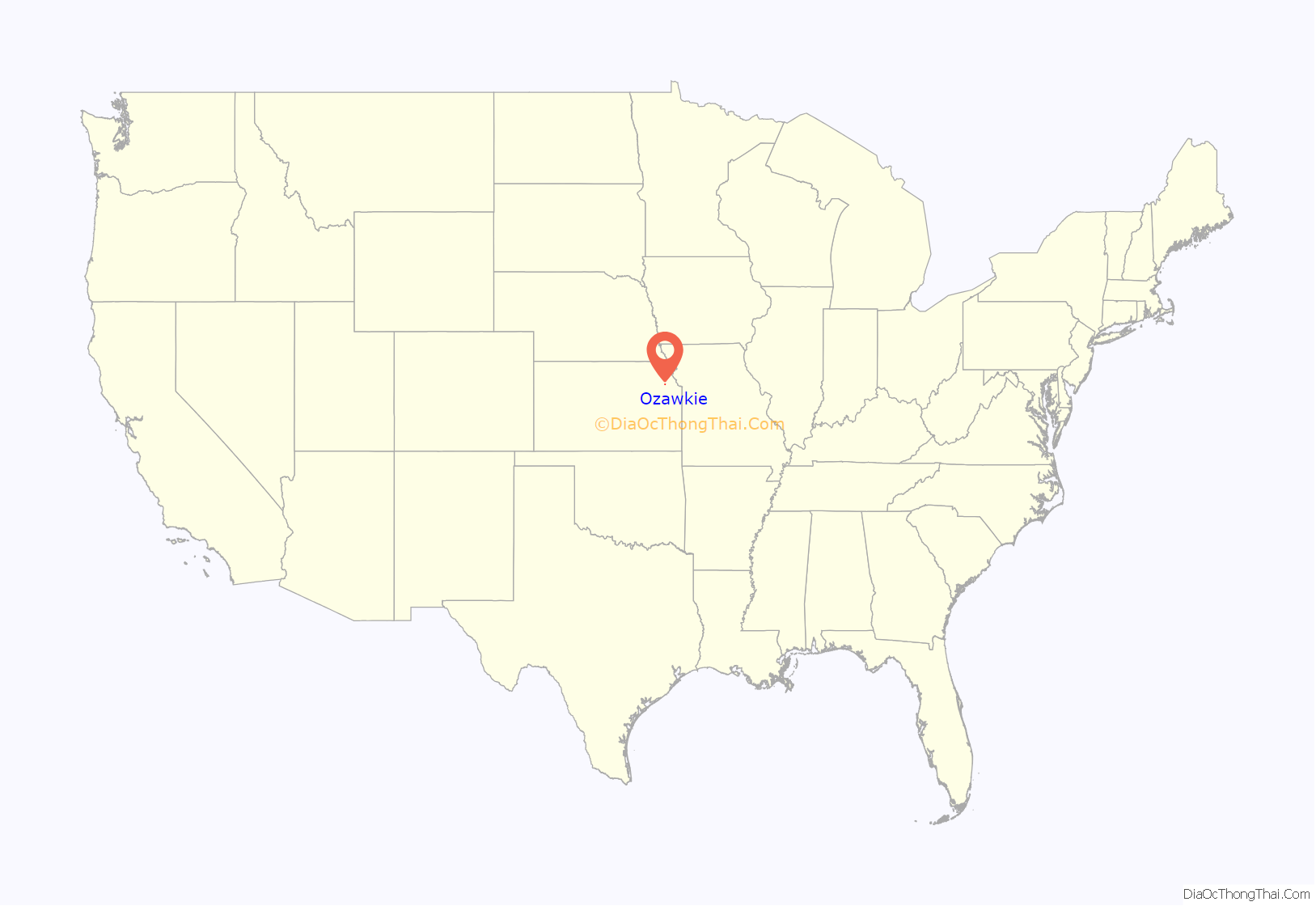
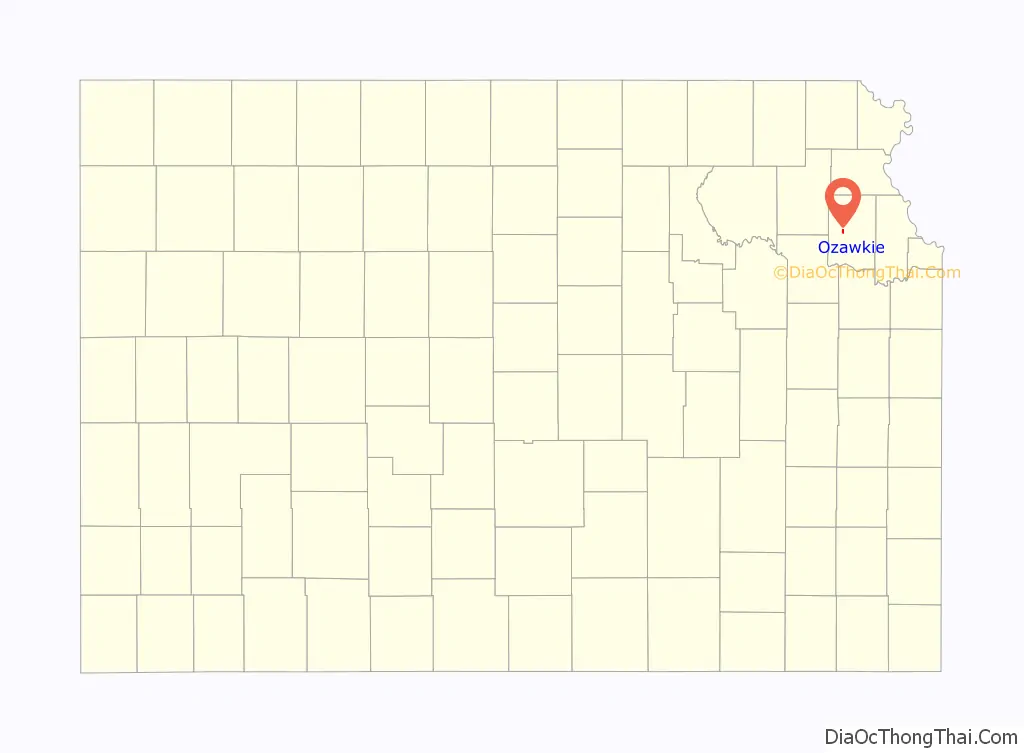
Ozawkie location map. Where is Ozawkie city?
History
It was originally named Osawkee and became Jefferson County‘s original county seat in 1855. The word Ozawkie is derived from the Sauk or Saukee Indians.
In 1930, there were rumors the US Army Corps of Engineers building a dam and relocation would be required. However, it wasn’t until 1954 that the Perry Dam Project was approved. Since Ozawkie wasn’t incorporated, the US Government would not relocate it. Citizens came together to form a non-profit organization to help move Ozawkie. In 1966, Ozawkie was relocated to higher ground west of the original town site and a water tower, school and 26 homes were built.
In 1967, the relocated Ozawkie was incorporated.
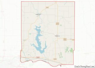
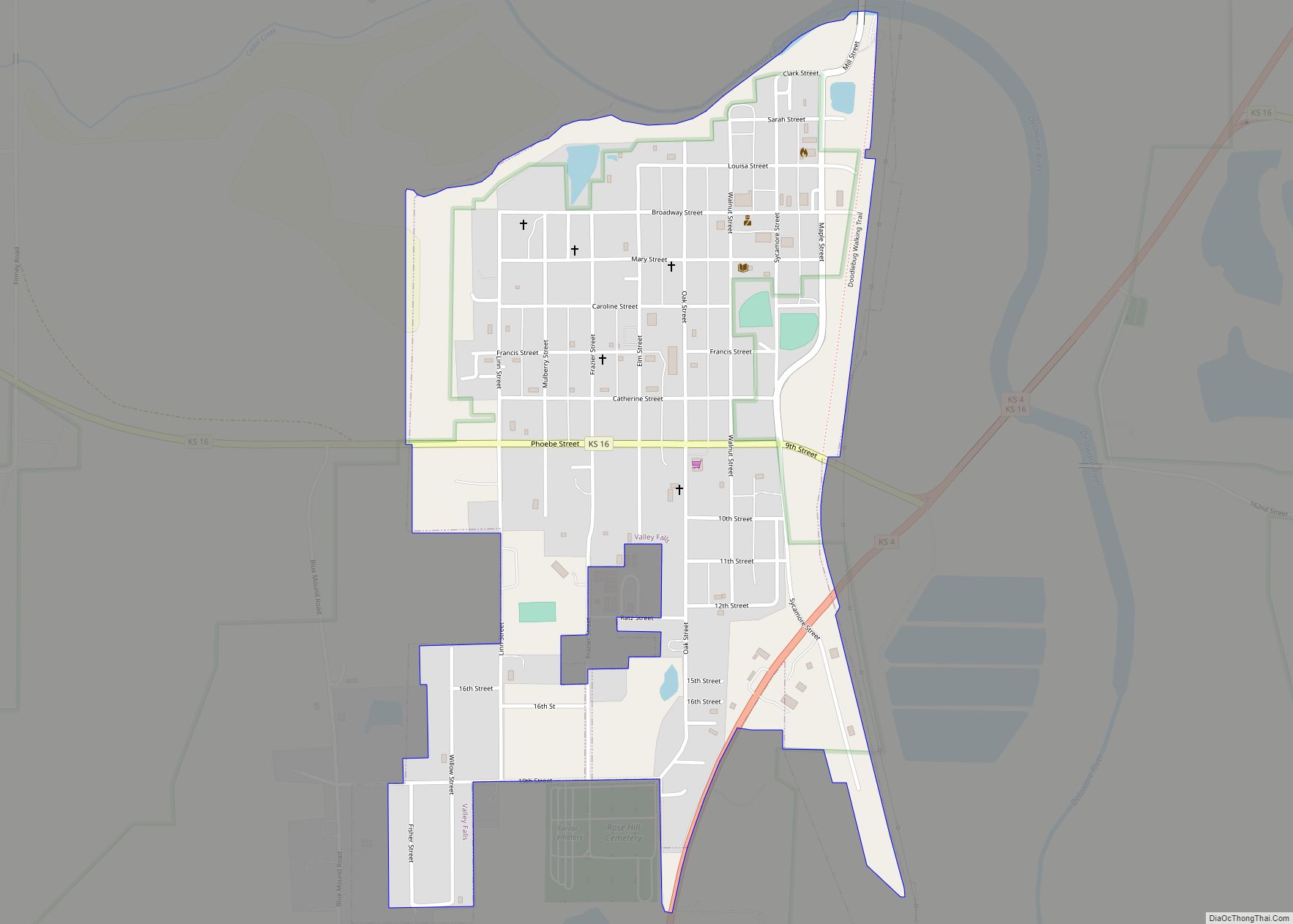
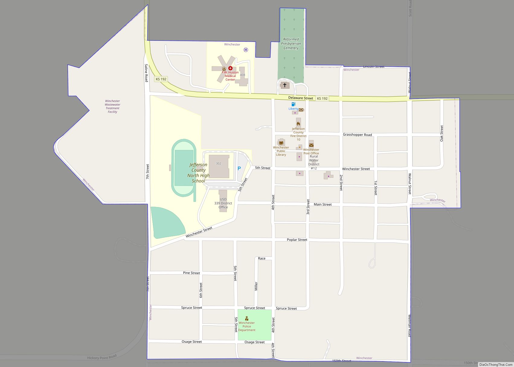
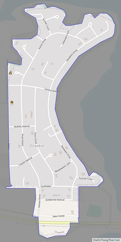
Ozawkie Road Map
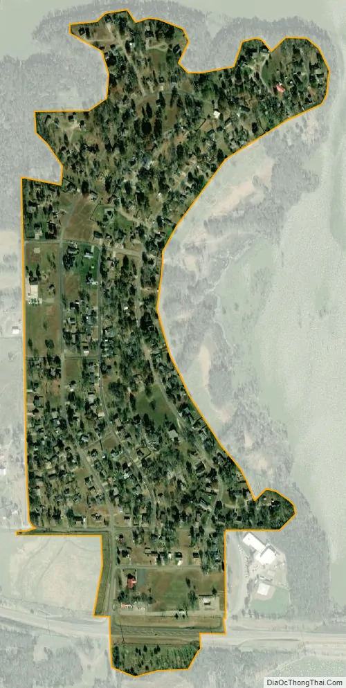
Ozawkie city Satellite Map
Geography
Ozawkie is located at 39°14′00″N 95°27′57″W / 39.233201°N 95.465709°W / 39.233201; -95.465709Coordinates: 39°14′00″N 95°27′57″W / 39.233201°N 95.465709°W / 39.233201; -95.465709 (39.233201, -95.465709). According to the United States Census Bureau, the city has a total area of 0.38 square miles (0.98 km), all of it land.
See also
Map of Kansas State and its subdivision:- Allen
- Anderson
- Atchison
- Barber
- Barton
- Bourbon
- Brown
- Butler
- Chase
- Chautauqua
- Cherokee
- Cheyenne
- Clark
- Clay
- Cloud
- Coffey
- Comanche
- Cowley
- Crawford
- Decatur
- Dickinson
- Doniphan
- Douglas
- Edwards
- Elk
- Ellis
- Ellsworth
- Finney
- Ford
- Franklin
- Geary
- Gove
- Graham
- Grant
- Gray
- Greeley
- Greenwood
- Hamilton
- Harper
- Harvey
- Haskell
- Hodgeman
- Jackson
- Jefferson
- Jewell
- Johnson
- Kearny
- Kingman
- Kiowa
- Labette
- Lane
- Leavenworth
- Lincoln
- Linn
- Logan
- Lyon
- Marion
- Marshall
- McPherson
- Meade
- Miami
- Mitchell
- Montgomery
- Morris
- Morton
- Nemaha
- Neosho
- Ness
- Norton
- Osage
- Osborne
- Ottawa
- Pawnee
- Phillips
- Pottawatomie
- Pratt
- Rawlins
- Reno
- Republic
- Rice
- Riley
- Rooks
- Rush
- Russell
- Saline
- Scott
- Sedgwick
- Seward
- Shawnee
- Sheridan
- Sherman
- Smith
- Stafford
- Stanton
- Stevens
- Sumner
- Thomas
- Trego
- Wabaunsee
- Wallace
- Washington
- Wichita
- Wilson
- Woodson
- Wyandotte
- Alabama
- Alaska
- Arizona
- Arkansas
- California
- Colorado
- Connecticut
- Delaware
- District of Columbia
- Florida
- Georgia
- Hawaii
- Idaho
- Illinois
- Indiana
- Iowa
- Kansas
- Kentucky
- Louisiana
- Maine
- Maryland
- Massachusetts
- Michigan
- Minnesota
- Mississippi
- Missouri
- Montana
- Nebraska
- Nevada
- New Hampshire
- New Jersey
- New Mexico
- New York
- North Carolina
- North Dakota
- Ohio
- Oklahoma
- Oregon
- Pennsylvania
- Rhode Island
- South Carolina
- South Dakota
- Tennessee
- Texas
- Utah
- Vermont
- Virginia
- Washington
- West Virginia
- Wisconsin
- Wyoming