Valley Falls is a city in Jefferson County, Kansas, United States. As of the 2020 census, the population of the city was 1,092.
| Name: | Valley Falls city |
|---|---|
| LSAD Code: | 25 |
| LSAD Description: | city (suffix) |
| State: | Kansas |
| County: | Jefferson County |
| Founded: | 1854 |
| Incorporated: | 1869 |
| Elevation: | 942 ft (287 m) |
| Total Area: | 0.71 sq mi (1.84 km²) |
| Land Area: | 0.70 sq mi (1.82 km²) |
| Water Area: | 0.01 sq mi (0.01 km²) |
| Total Population: | 1,092 |
| Population Density: | 1,500/sq mi (590/km²) |
| ZIP code: | 66088 |
| Area code: | 785 |
| FIPS code: | 2073300 |
| Website: | valleyfalls.org |
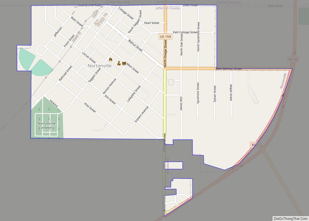
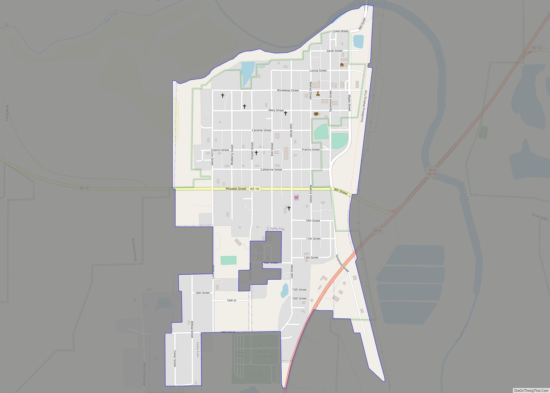
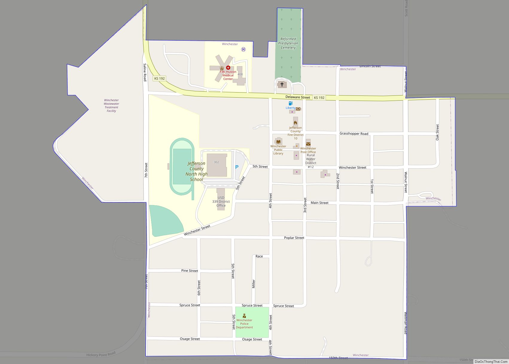
Online Interactive Map
Click on ![]() to view map in "full screen" mode.
to view map in "full screen" mode.
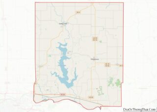
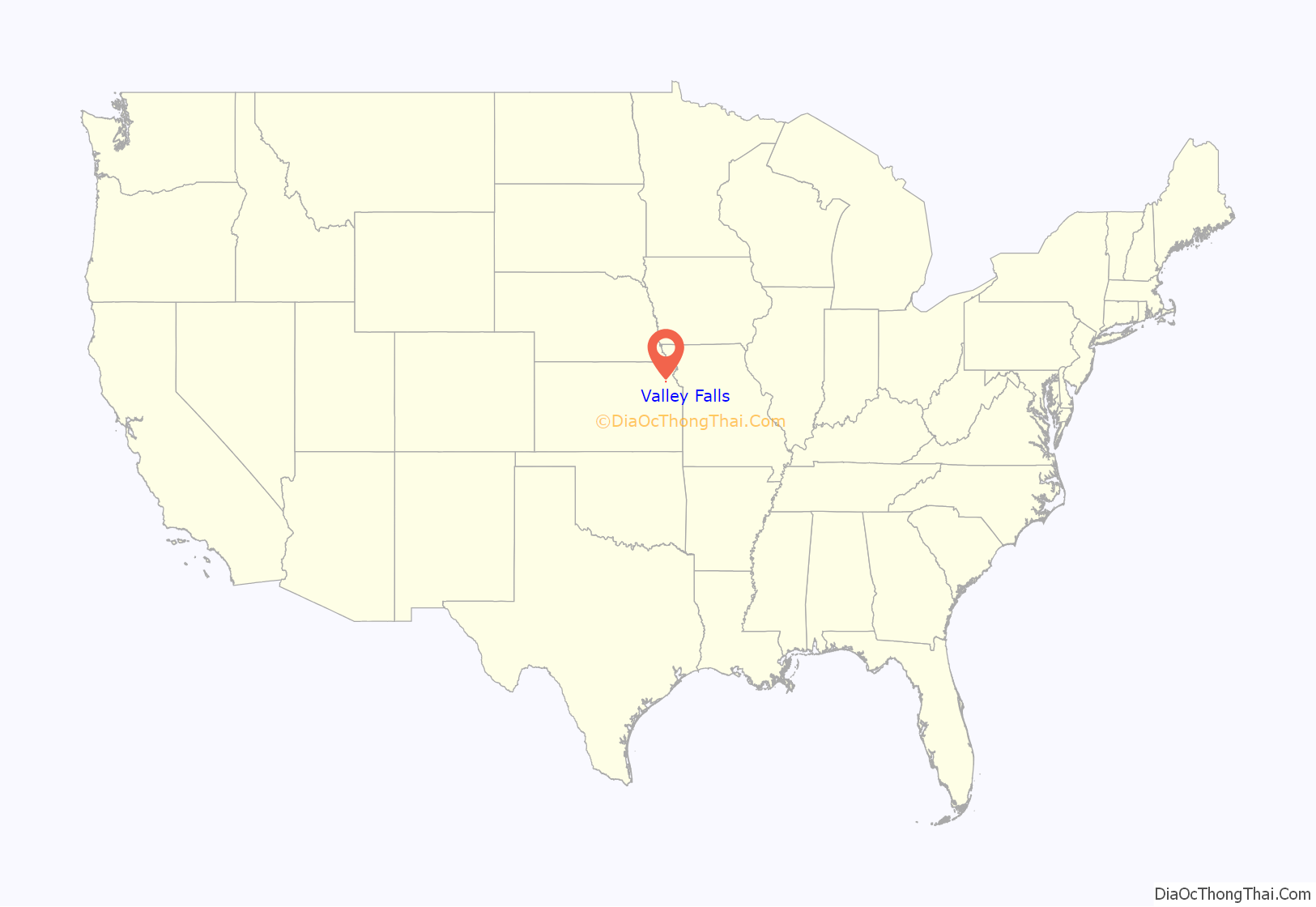
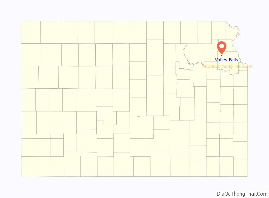
Valley Falls location map. Where is Valley Falls city?
History
Valley Falls was originally called Grasshopper Falls, from the falls in the Grasshopper River (now known as the Delaware River). The first settlement was made there in 1854, and the town was platted in 1855. Many of the town’s streets were named after women pioneer settlers.
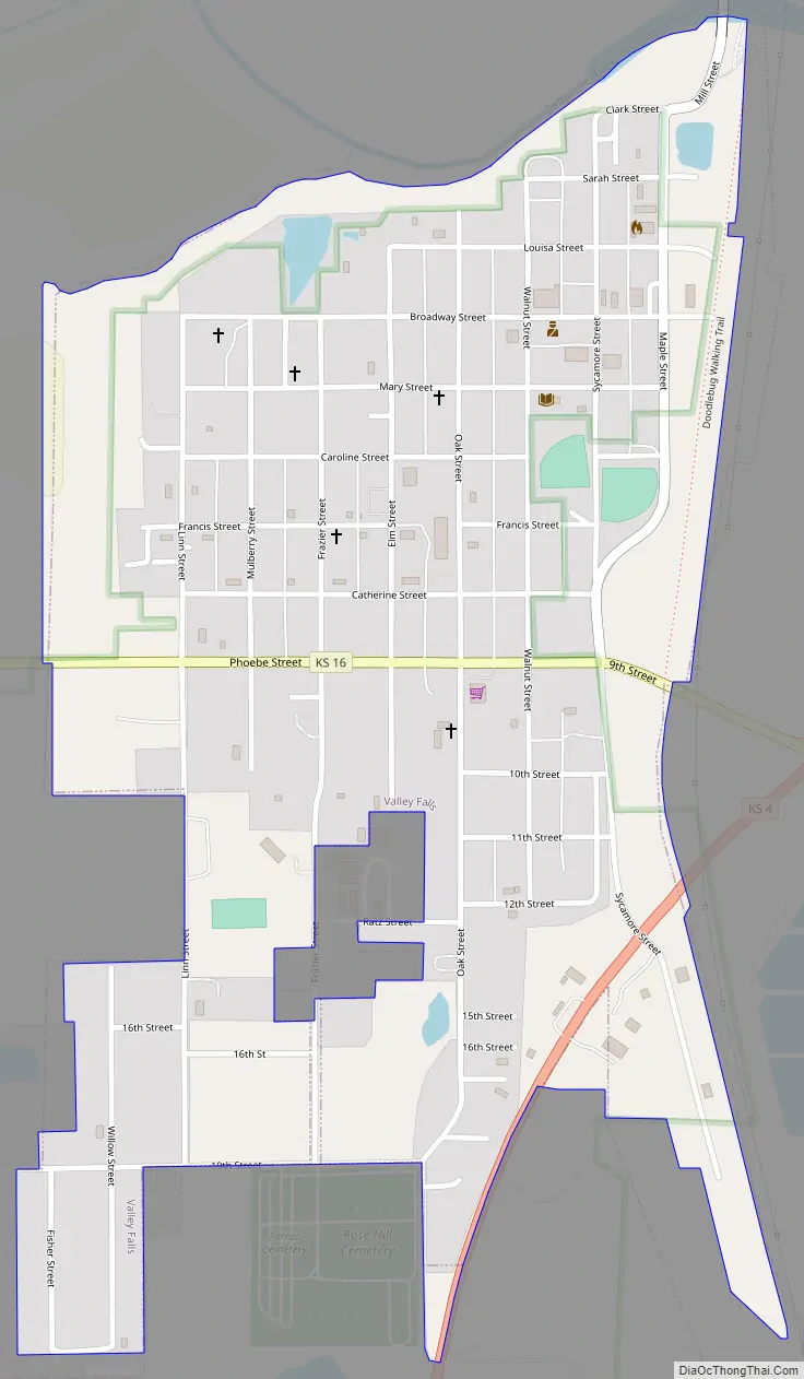
Valley Falls Road Map
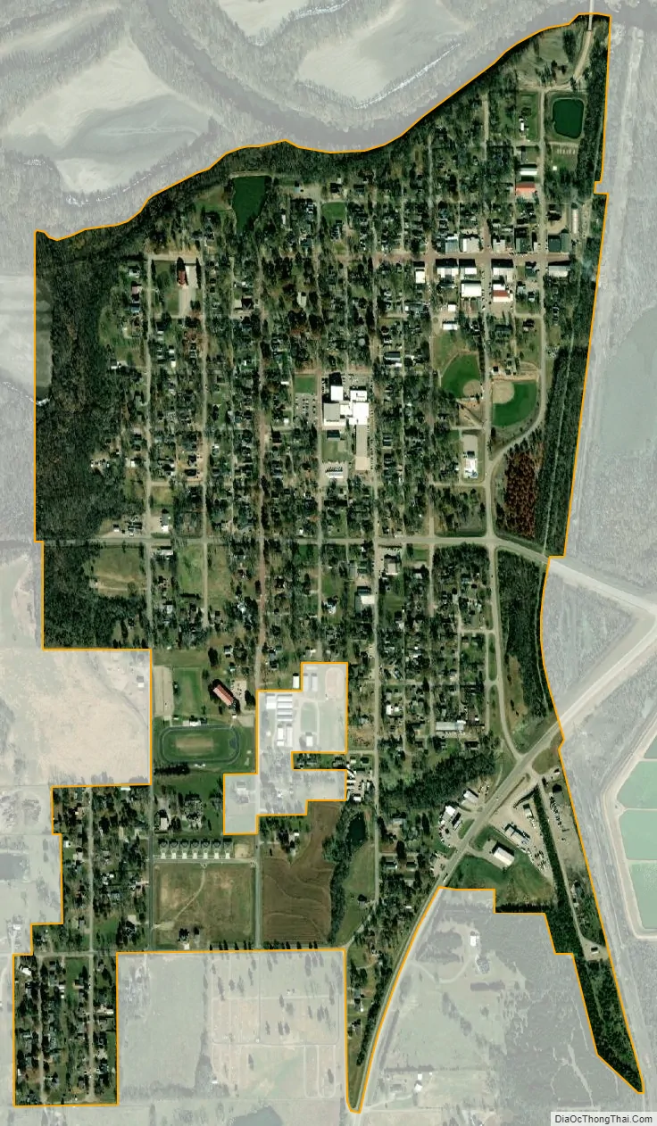
Valley Falls city Satellite Map
Geography
Valley Falls is located at 39°20′35″N 95°27′38″W / 39.34306°N 95.46056°W / 39.34306; -95.46056 (39.342936, -95.460584). According to the United States Census Bureau, the city has a total area of 0.78 square miles (2.02 km), of which, 0.77 square miles (1.99 km) is land and 0.01 square miles (0.03 km) is water.
Climate
The climate in this area is characterized by hot, humid summers and generally mild to cool winters. According to the Köppen Climate Classification system, Valley Falls has a humid subtropical climate, abbreviated “Cfa” on climate maps.
See also
Map of Kansas State and its subdivision:- Allen
- Anderson
- Atchison
- Barber
- Barton
- Bourbon
- Brown
- Butler
- Chase
- Chautauqua
- Cherokee
- Cheyenne
- Clark
- Clay
- Cloud
- Coffey
- Comanche
- Cowley
- Crawford
- Decatur
- Dickinson
- Doniphan
- Douglas
- Edwards
- Elk
- Ellis
- Ellsworth
- Finney
- Ford
- Franklin
- Geary
- Gove
- Graham
- Grant
- Gray
- Greeley
- Greenwood
- Hamilton
- Harper
- Harvey
- Haskell
- Hodgeman
- Jackson
- Jefferson
- Jewell
- Johnson
- Kearny
- Kingman
- Kiowa
- Labette
- Lane
- Leavenworth
- Lincoln
- Linn
- Logan
- Lyon
- Marion
- Marshall
- McPherson
- Meade
- Miami
- Mitchell
- Montgomery
- Morris
- Morton
- Nemaha
- Neosho
- Ness
- Norton
- Osage
- Osborne
- Ottawa
- Pawnee
- Phillips
- Pottawatomie
- Pratt
- Rawlins
- Reno
- Republic
- Rice
- Riley
- Rooks
- Rush
- Russell
- Saline
- Scott
- Sedgwick
- Seward
- Shawnee
- Sheridan
- Sherman
- Smith
- Stafford
- Stanton
- Stevens
- Sumner
- Thomas
- Trego
- Wabaunsee
- Wallace
- Washington
- Wichita
- Wilson
- Woodson
- Wyandotte
- Alabama
- Alaska
- Arizona
- Arkansas
- California
- Colorado
- Connecticut
- Delaware
- District of Columbia
- Florida
- Georgia
- Hawaii
- Idaho
- Illinois
- Indiana
- Iowa
- Kansas
- Kentucky
- Louisiana
- Maine
- Maryland
- Massachusetts
- Michigan
- Minnesota
- Mississippi
- Missouri
- Montana
- Nebraska
- Nevada
- New Hampshire
- New Jersey
- New Mexico
- New York
- North Carolina
- North Dakota
- Ohio
- Oklahoma
- Oregon
- Pennsylvania
- Rhode Island
- South Carolina
- South Dakota
- Tennessee
- Texas
- Utah
- Vermont
- Virginia
- Washington
- West Virginia
- Wisconsin
- Wyoming